

Inspiration
When you want to walk from point A to point B, usual routes planners will propose you the shortest path. It's nice but what if you actually care about the quality of your environment during your journey, and want to avoid areas with pollution and target those with nature?
We built an itinerary planner that took into account those parameters and not just the distance.
What it does
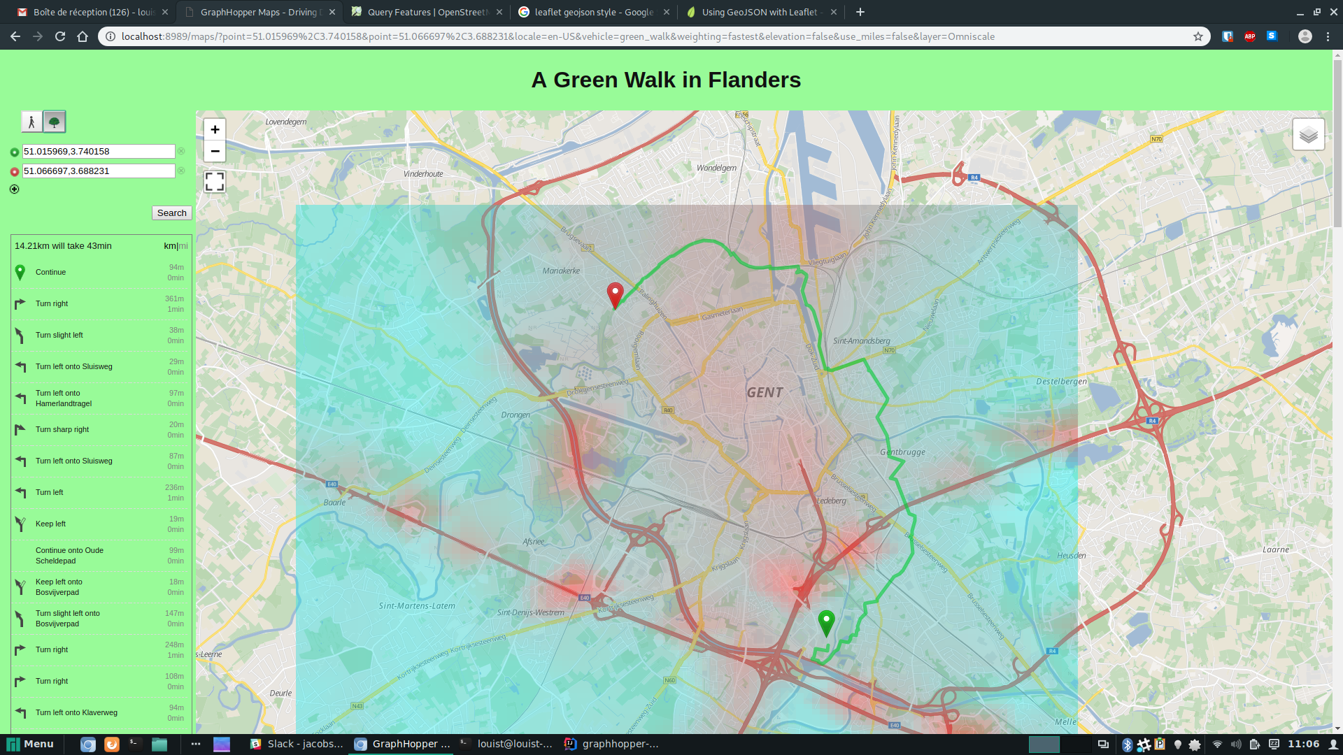
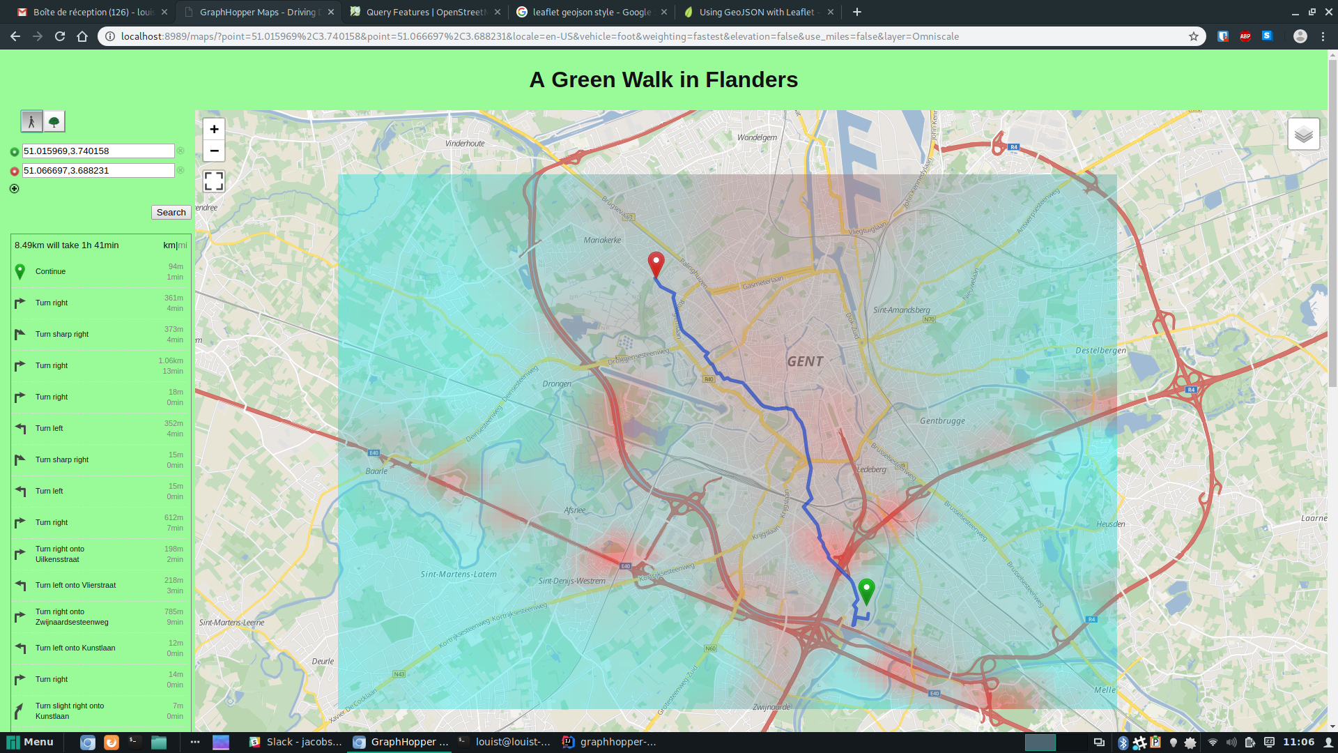
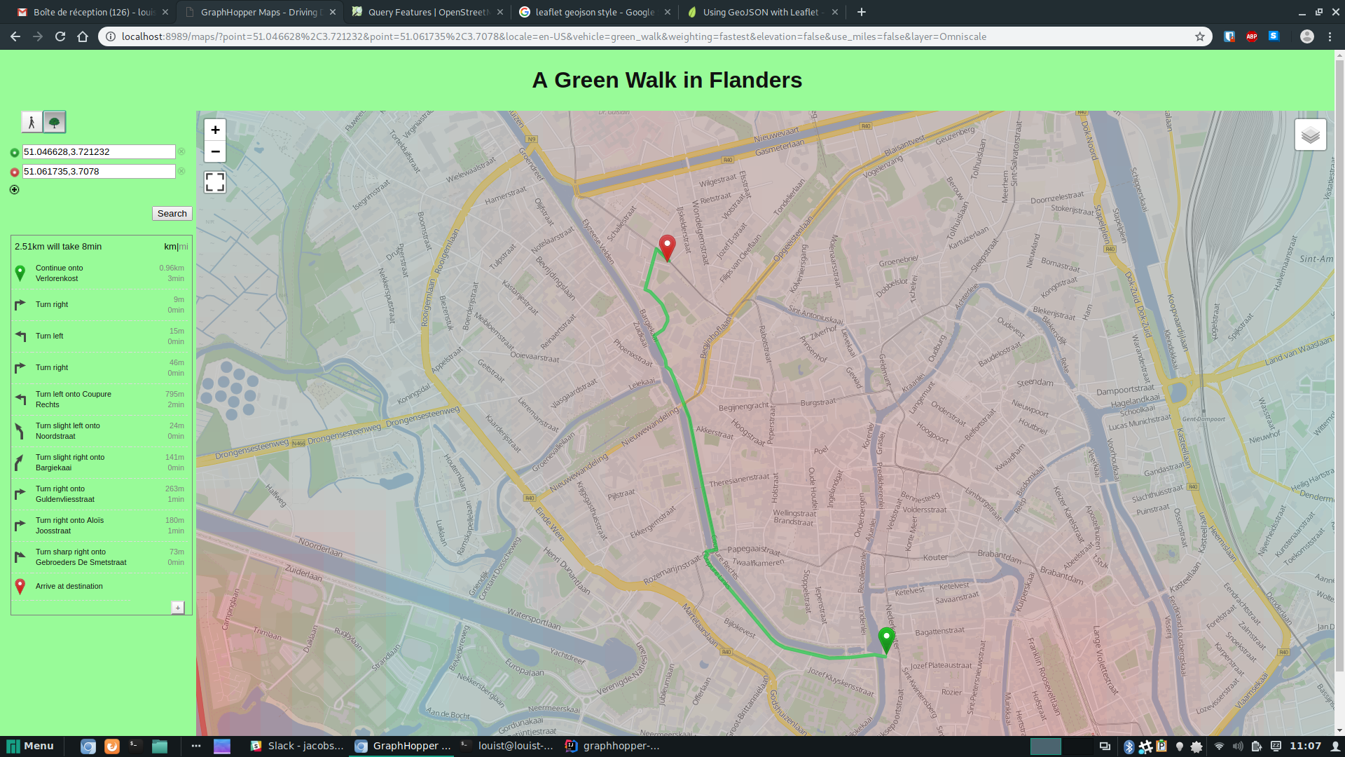
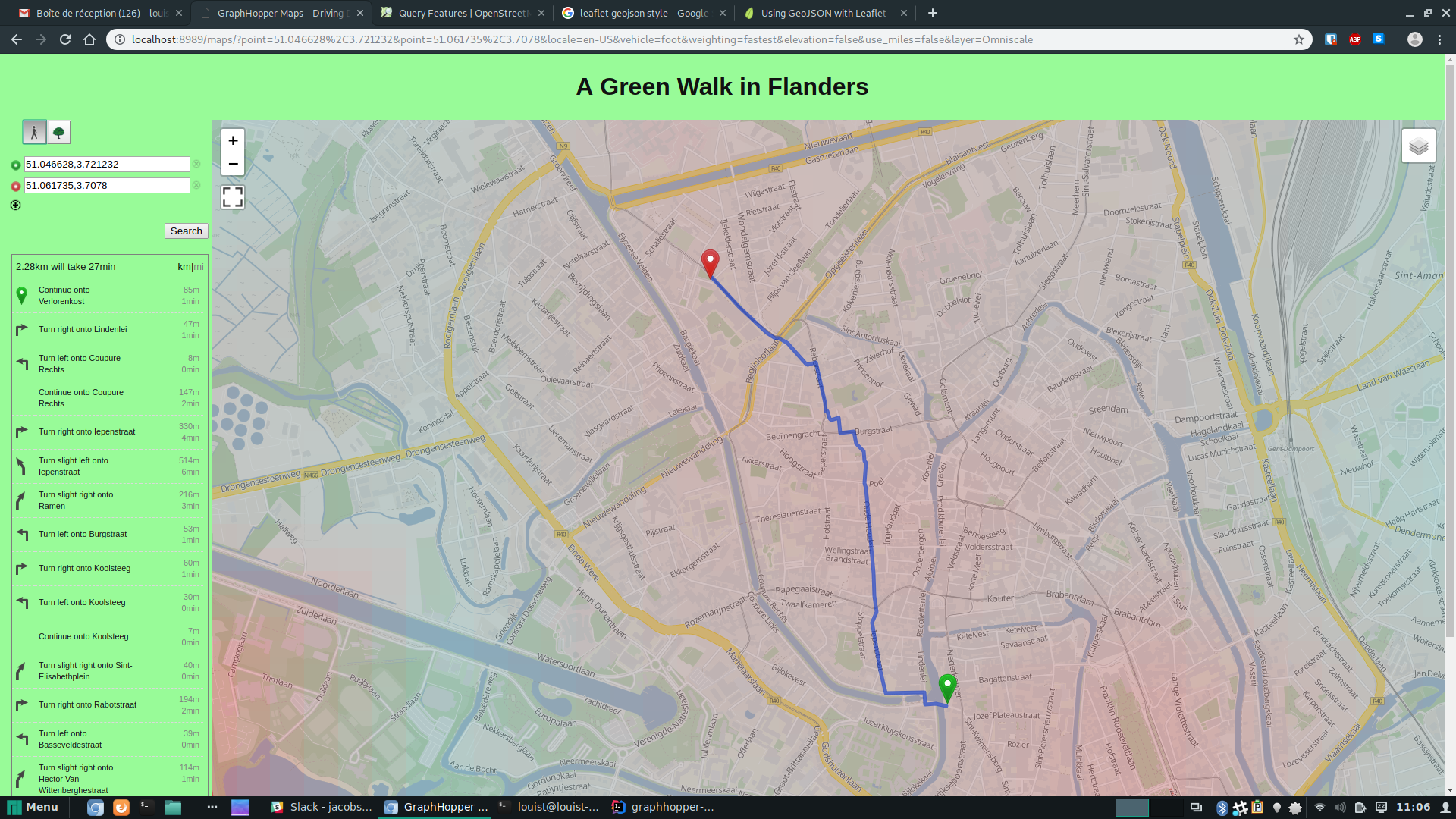
The GreenPath proposes you a route that prioritizes green areas and those with less pollution. It currently only works in Flanders, where accurate pollution data by street was available. On the screenshots above, the GreenPath is in green and the fast path is in blue.
How we built it
We extended the java open source library GraphHopper to change the weights of the edges that represent roads, so that they take into account the trees and pollution around and not just the distance to the destination.
We used python to collect pollution data from aircheckr.com API.
Finally, we used regular frontend tools to display the results in the browser.
Challenges we ran into
- Accurate pollution data is not widely available and not very precise in the best case.
- It was very difficult to get familiar with GraphHopper codebase, it's a huge Java project with a lot of
- We had to collect the locations of trees from OpenStreetMap and process them efficiently in GraphHopper.
Accomplishments that we're proud of
It works pretty well. We did it in less than 16 hours. :)
What we learned
- Use an API
- Frontend basic tools
- GraphHopper functioning
- "Hey Snips!" ;)
What's next for The Green Path
Contribute back upstream to Open Source GraphHopper and make the GreenPath one of its features
Built With
- css3
- graphopper
- html5
- java
- javascript
- python
Log in or sign up for Devpost to join the conversation.