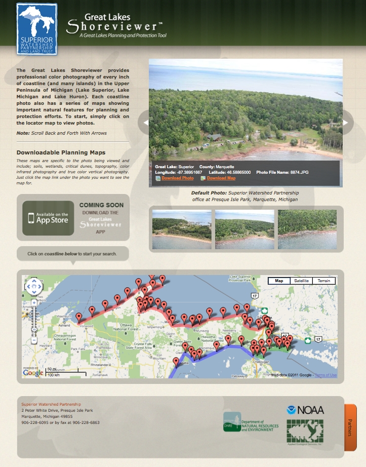
The Great Lakes Community Shoreviewer app is specifically designed for rural, underserved, economically disadvantaged communities in the Upper Peninsula of Michigan. The Shoreviewer is an easy-to-use app that provides high resolution color oblique-angle photography of the entire Great Lakes shoreline in theUpper Peninsula. This includes over 600 miles of Lake Superior shoreline, 400 miles of Lake Michigan shoreline and 300 miles ofLake Huronshoreline. In addition to color photography the Shoreviewer also provides multiple layers of Geographic Information System (GIS) maps including; soils, slope, wetlands and critical dunes. The Shoreviewer is designed to provide coastal communities with easy-to-understand data to make informed decisions about protecting and restoring theGreat Lakesshoreline in their jurisdiction (often these rural townships, cities and counties do not have access to detailed coastal information). In addition the Great Lakes Shoreviewer can be an incredible tool for promoting sustainable economic development and nature tourism. The Shoreviewer can also be used for planning kayak trips, hiking trips, visiting lighthouses, etc. The Shoreviewer app will provide local communities and the general public with access to an important coastal protection and economic development tool at no cost. The Shoreviewer app is especially important because of its mobility and ability to be used in the field (remote coastal sites) if needed. The Great Lakes Community Shoreviewer was developed by the Superior Watershed Partnership (SWP) a Great Lakes non-profit organization serving the communities of Michigan’s Upper Peninsula (15 counties).
The Great Lakes Community Shoreviewer
Updates

Leave feedback in the comments!
Log in or sign up for Devpost to join the conversation.