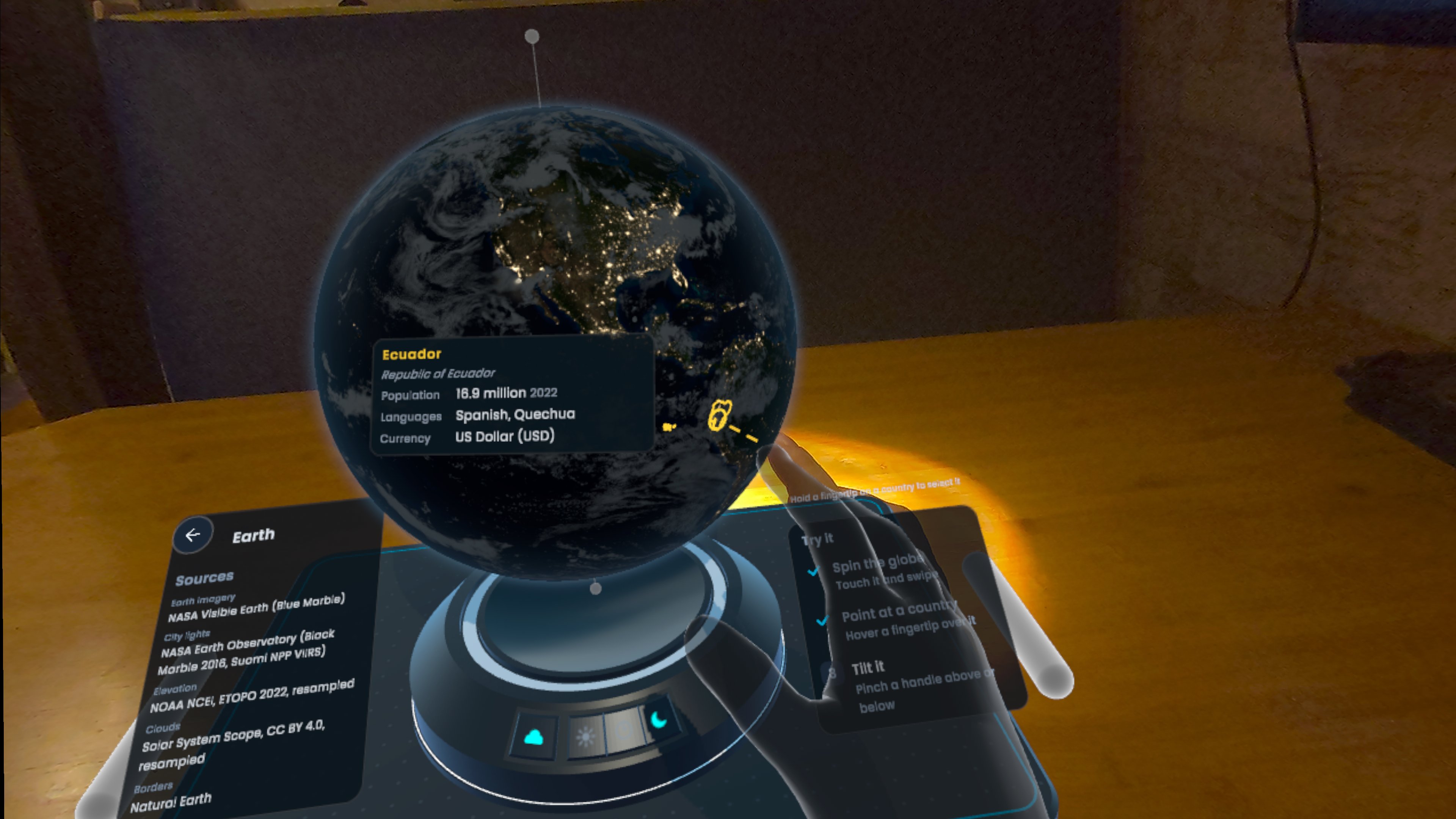
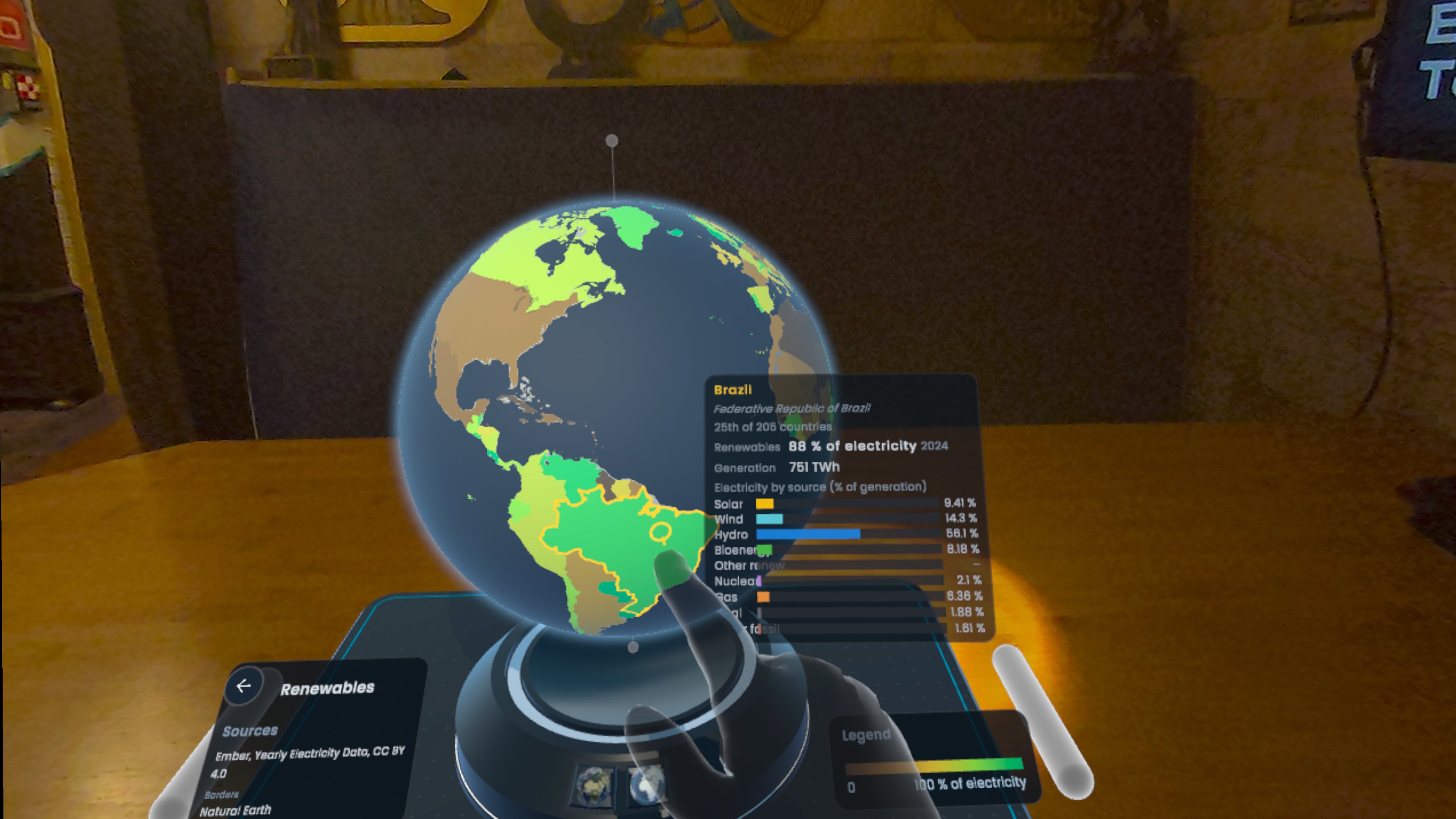
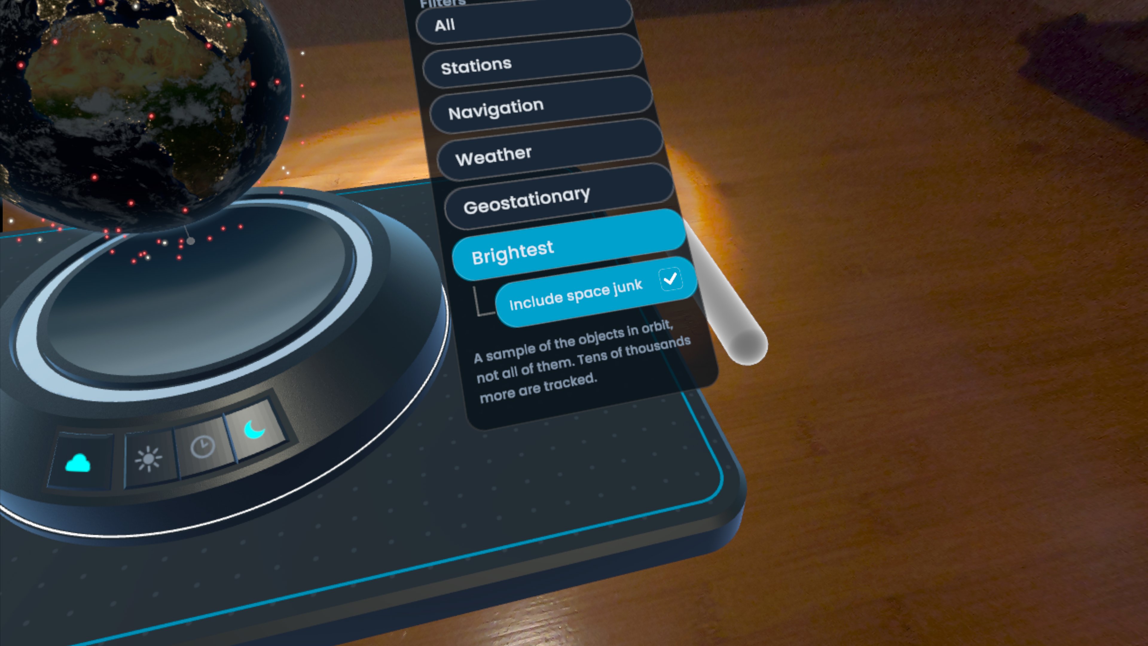
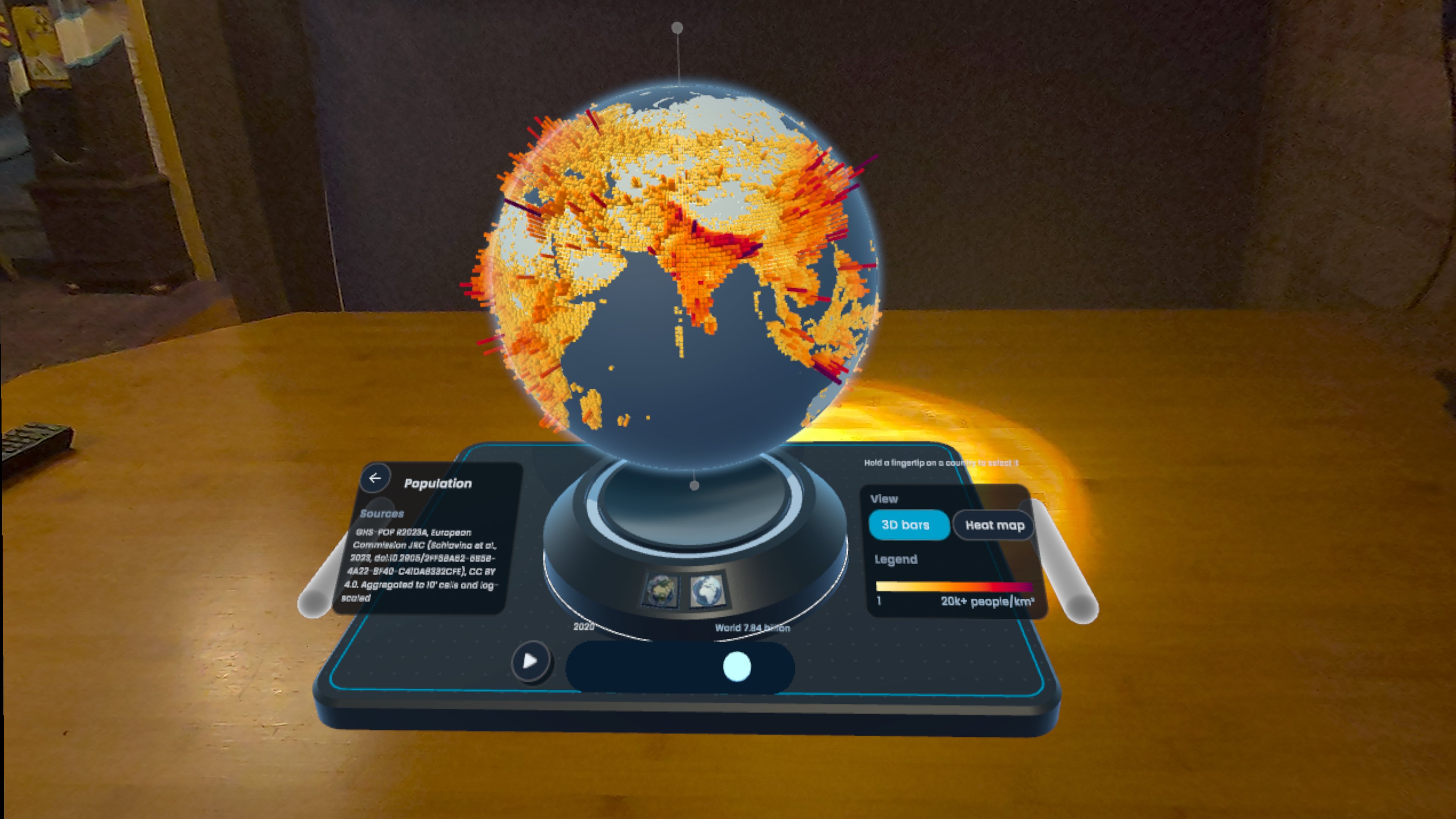
Worldview is a geographical data visualization app designed for VR/AR headsets, small spaces, and hand-tracking interactions.
Inspiration
My sister has an illuminated, old-school physical globe from the 90s that I used to play with as a kid. I wanted to explore what bringing a "tangible" Earth into mixed reality would feel like, while also using it as a surface for data visualization. What would it feel like to see different global statistics and datasets right in front of you?
Features
The prototype comes with several types of sample datasets, including photographic satellite imagery, satellite positions, and numerical data by country.
The current sample datasets include:
- Satellite positions: Orbital data and satellite catalogues from CelesTrak and Wikidata.
- Arctic and Antarctic sea ice (1979–2026): NSIDC Sea Ice Index, Version 4, using September monthly ice concentration data.
- Coffee consumption: FAOSTAT Food Balances, Food and Agriculture Organization of the UN.
- Meat consumption: FAOSTAT Food Balances, FAO (total and by animal, 2010–2023).
- GDP by country: World Bank, World Development Indicators (GDP, GDP per capita, growth, and economic sectors, 1960–2025).
- Median age and age groups: UN World Population Prospects 2024, UN DESA Population Division.
- Internet adoption by country: World Bank, World Development Indicators (based on International Telecommunication Union data, 1990–2024).
- Custom data loading: Experimental and not yet tested - this might or might not work 🤞
The globe itself is built using NASA Blue Marble imagery, NASA Black Marble city lights, NOAA ETOPO 2022 elevation data, Solar System Scope clouds, and Natural Earth country borders.
Some datasets include a timeline for exploring how the data has changed over time, as well as tooltips showing detailed breakdowns for individual countries. The source of each dataset is clearly displayed in the application.
As an Easter egg, there's also a feature that lets you take a flight with a selected satellite, so you can see the world from the satellite's point of view! 🛰️
Sadly, I didn't have time to implement high-resolution imagery for this mode, so views closer to Earth switch to a more abstract representation.
Technology
The app is built with Unity, Claude, and Unity's XR Interaction Toolkit (XRI). The sample datasets come from a variety of open data sources.
Challenges
One of my biggest challenges was scoping! It's easy to add features with Claude, but polishing them to a good UX standard still takes a lot of time. I only got the idea for the application on the weekend before the deadline, so that did not help...
I ended up adding a few features that I didn't have time to finish or properly QA, such as custom data loading. Some interactions could also definitely be smoother.
What I learned
I learned a lot about the world! First, just how far away some satellites are from Earth. Second, how much space junk there is orbiting our planet! By default, I filtered the junk out of the visible satellite set, as there was just so much of it.
I also learned that Claude can easily spam poor open data APIs...
While observing Claude's output, I noticed that CelesTrak had blocked a request at one point. I found their usage policy, which discusses the huge rise in demand they've experienced and how LLMs have contributed to the problem.
Afterwards, I made sure there were no unnecessary requests to CelesTrak. In the prototype, the satellite positions are now based on a snapshot of their positions at the time I downloaded the dataset.
I wish Claude had been smart enough to do that by default!
What's next for Worldview
I'm gathering feedback to see whether researchers or others might be interested in the project, and what types of data they would find useful to visualize.
If you're interested, please reach out and I might find the time to add some customizations for your data! 😊
Other small things:
- There's quite a few UX details I'd like to tweak! Got very short on time when building this.
- Adding gaze interactions when I have a device to test them with
- Going through every sample set in detail, so colors ranges etc are tuned correctly, and everything makes sense.
- Flying with a satellite is a quite a fun feature, and I might explore whether loading high-resolution imagery for that mode would be possible.
Built With
- celestrak
- claude
- copernicus
- nasa
- natural-earth
- noaa
- nsidc
- sgp4
- un-data
- unity
- wikidata
- world-bank
- xri


