-
-
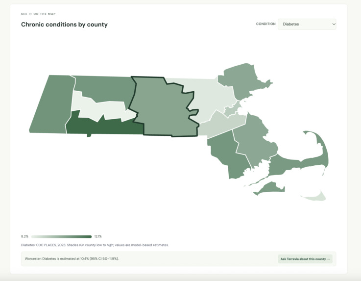
Map UI
-
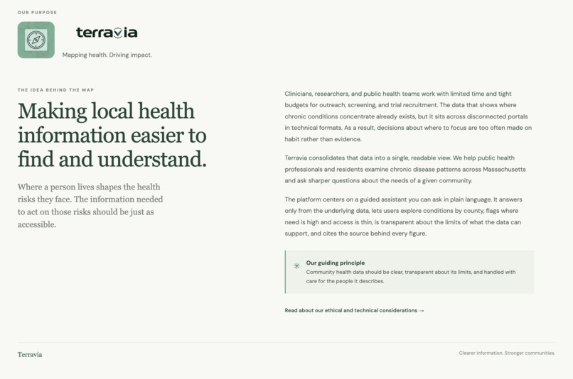
Mission UI
-
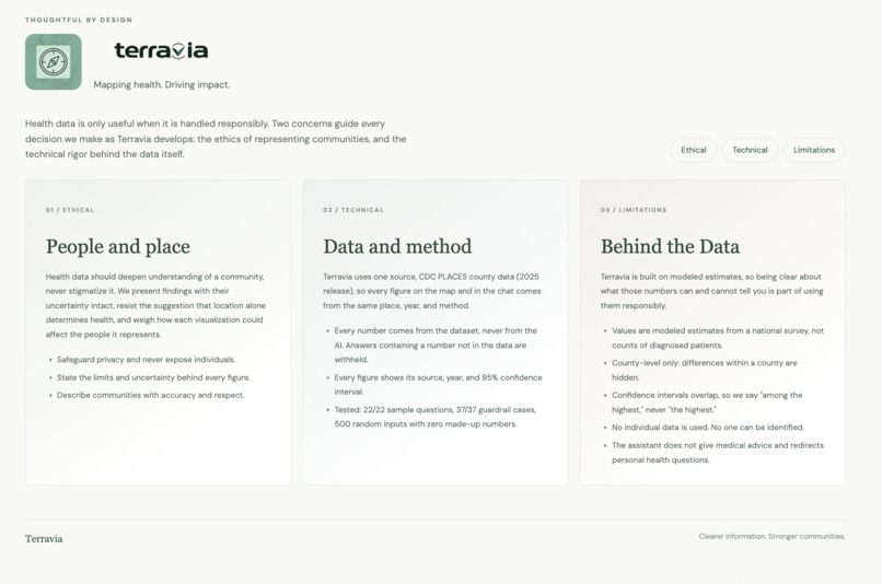
Ethics UI
-
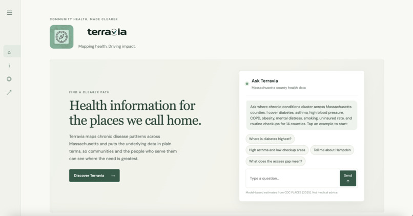
Chatbot UI
Inspiration
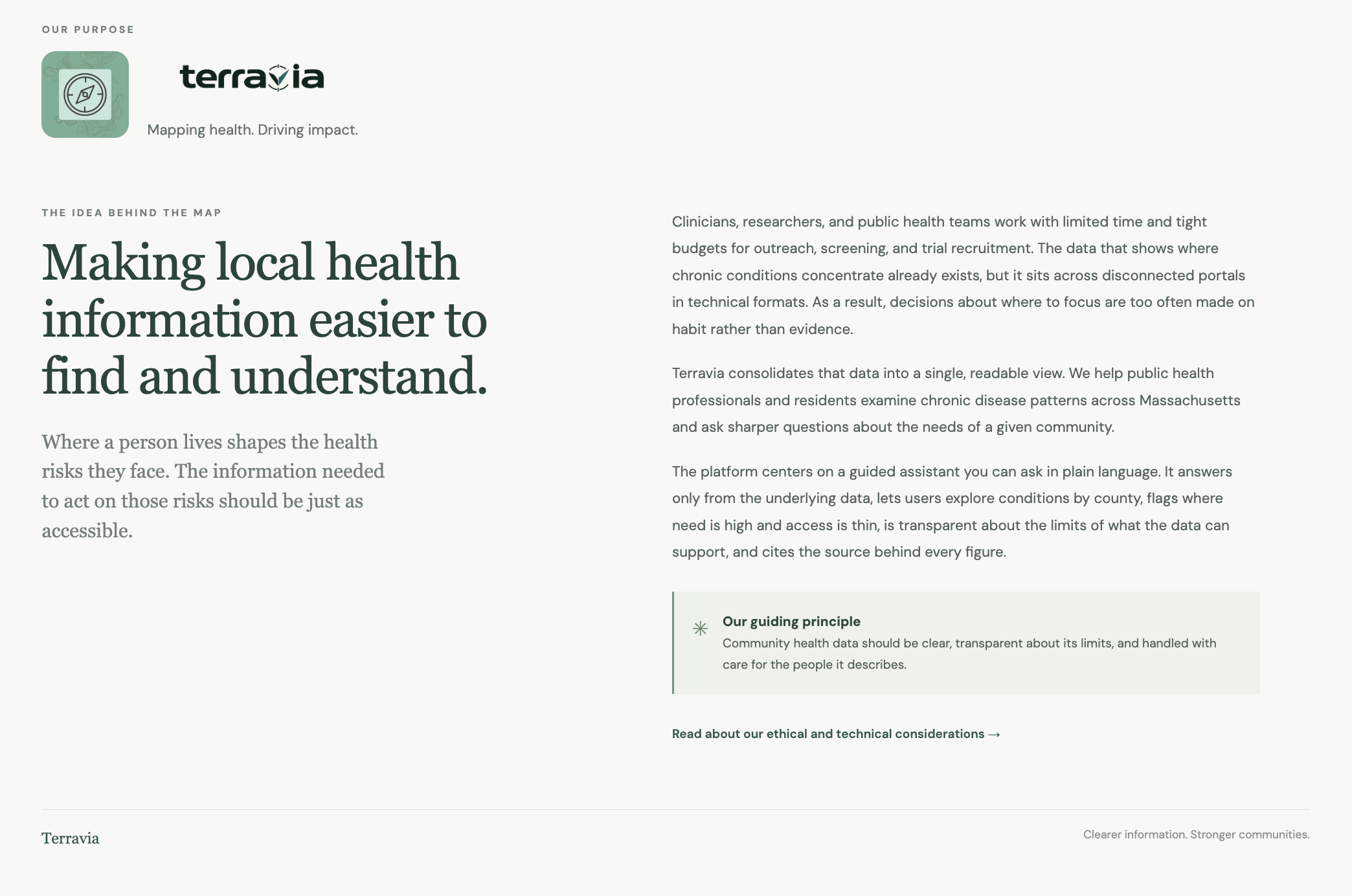
Our team comes from backgrounds in biomedical engineering and data science. Through research and personal projects, we noticed how difficult it can be to understand where chronic conditions are concentrated. The data exists, but it is often scattered across different portals and technical formats, making it time-consuming to gather and compare.
When teams have limited time and resources, those barriers can make it harder to look beyond familiar or convenient locations. We built Terravia to make geographic health data easier to explore, helping teams use evidence about community needs to inform where to focus their efforts.
What it does
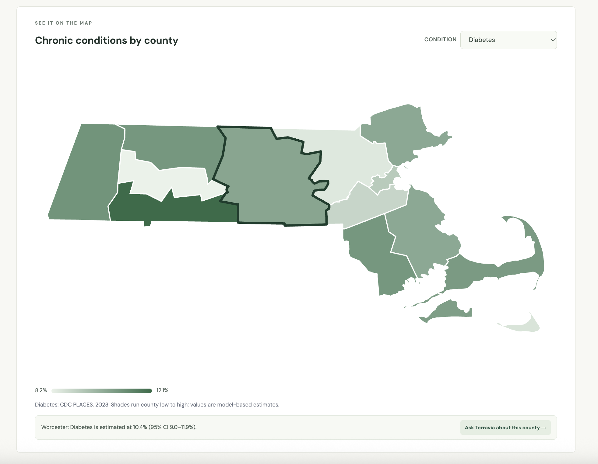
Terravia is a web application that combines an interactive map with an AI chatbot to explore chronic disease burden across Massachusetts counties. In the map, users can select a condition from a dropdown menu and hover over a county to view its reported percentage, making geographic differences easier to understand.
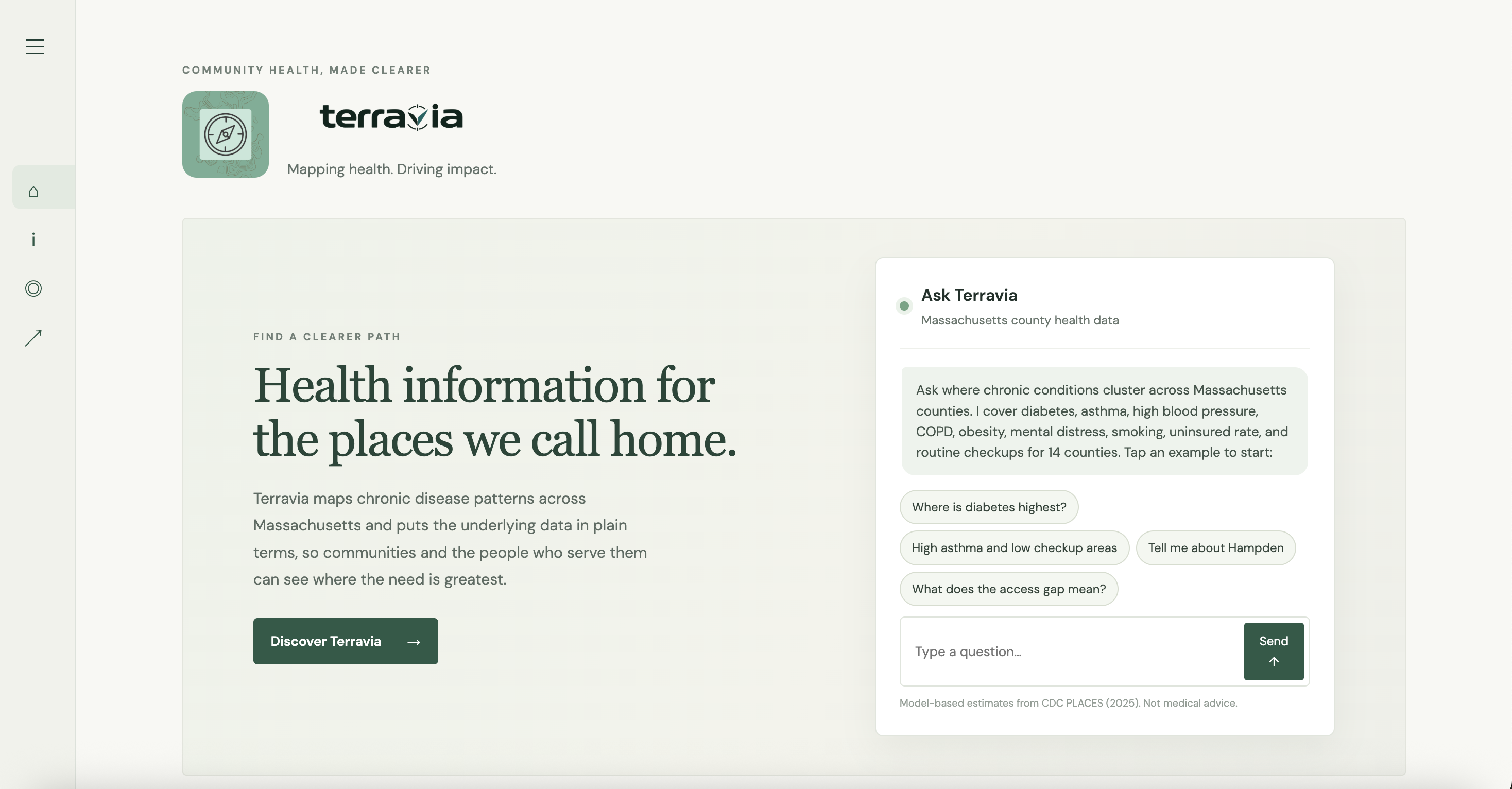
The chatbot provides a more in-depth way to explore the same data. Users can ask questions in plain English and receive straightforward answers without manually searching through multiple, fragmented datasets. Together, the map and chatbot help teams identify areas worth investigating further for outreach, screening, and research planning.
How we built it
We built the web interface with HTML, CSS, and JavaScript, using Kiro, Codex, and Visual Studio Code throughout development. HTML and CSS provided the structure and styling, while JavaScript powered the interactive controls, condition selection, and map behavior.
For the chatbot, we used Ollama to run a language model locally and implemented a rule-based natural language understanding layer to translate supported questions into structured data queries. We served the question-answering pipeline through FastAPI for the live demo. Kiro supported scaffolding and debugging as we connected the interface, chatbot, and data.
Challenges we ran into
One of our first challenges was learning Kiro while building within a short timeframe. We had to experiment with prompts and specifications, evaluate the generated code, and troubleshoot when the application did not behave as expected.
The chatbot introduced another challenge: users can ask the same question in many different ways. Our initial query-matching logic supported only a narrow range of inputs. We refined that logic and the model prompts to recognize more variations while keeping responses within the limits of the available data. Balancing flexibility with grounded answers became a central part of development to mitigate the chatbot giving inaccurate information to the user.
Accomplishments that we're proud of
We’re proud of turning a basic website into a working application that brings together an interactive map, county-level health data, and an embedded chatbot. Users can explore conditions visually or ask questions in plain English, giving them two accessible ways to understand the information.
We’re also proud of how we worked through unfamiliar tools and integration challenges as a team. Rather than leaving the map and chatbot as separate components, we connected them into one experience focused on making public health data easier to use.
What we learned
We learned how to connect a web interface, structured health data, and a locally hosted language model into a working prototype. We also became more deliberate about AI-assisted development: writing clearer requirements, testing small changes, and checking whether generated code actually matched our intended behavior.
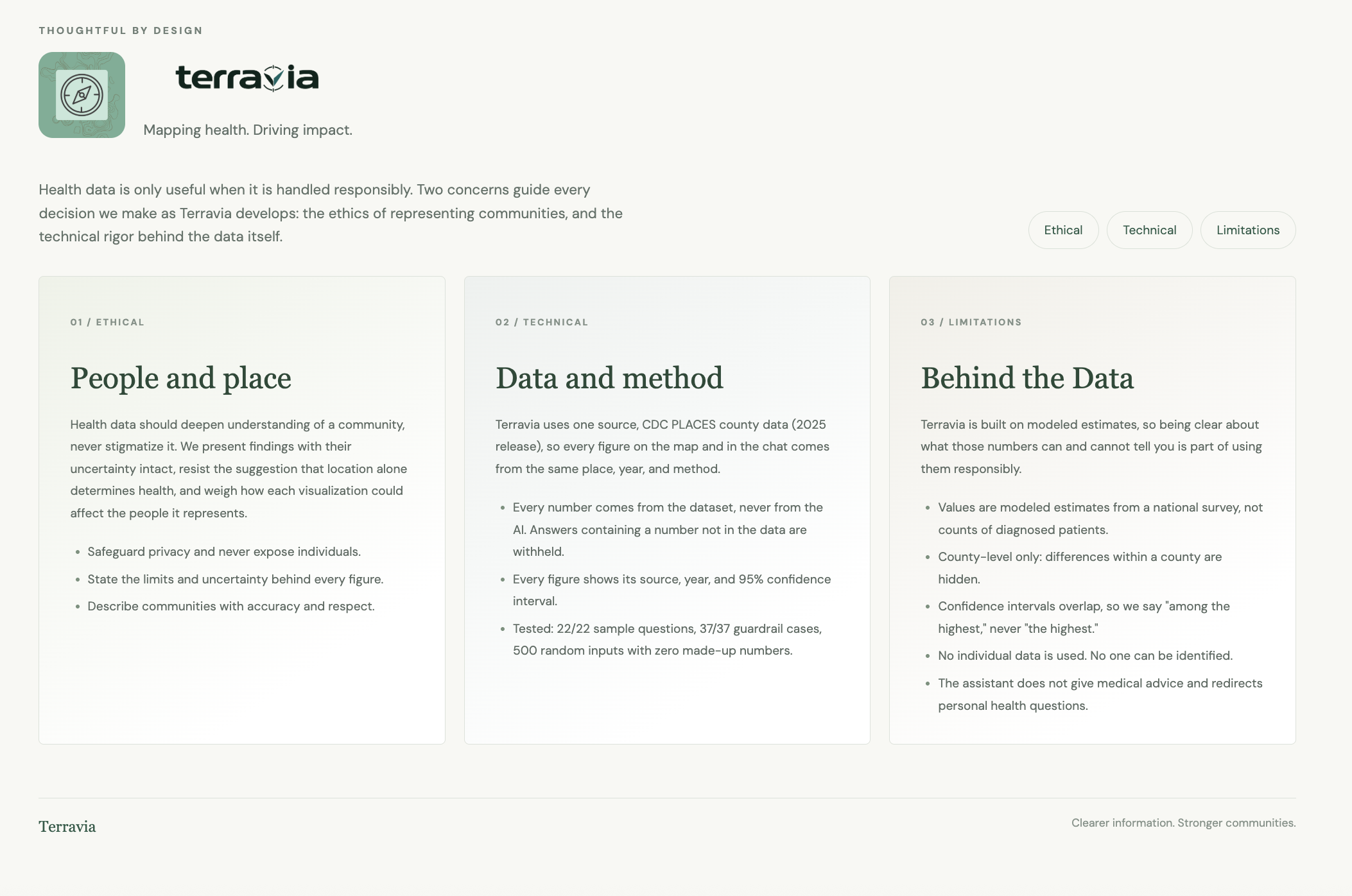
The project also reinforced the importance of responsible data communication. We had to consider whether sources were reliable, what the reported measures represented, and which questions our dataset could support. Making information accessible also means being clear about its limitations.
What's next for Terravia
Our next step is to expand the range of conditions and reliable datasets available in the app. We also want to improve the chatbot’s ability to recognize different questions and make data sources, reporting periods, and limitations easier to find.
Longer term, we aim to extend Terravia beyond Massachusetts. Bringing more states into a consistent interface would let users explore a broader geographic picture without navigating multiple disconnected platforms, while preserving the local detail needed for outreach and research planning.
Built With
- css
- github
- html
- javascript
- kiro
- llm
- ollama
- rag


Log in or sign up for Devpost to join the conversation.