About the project
Inspiration
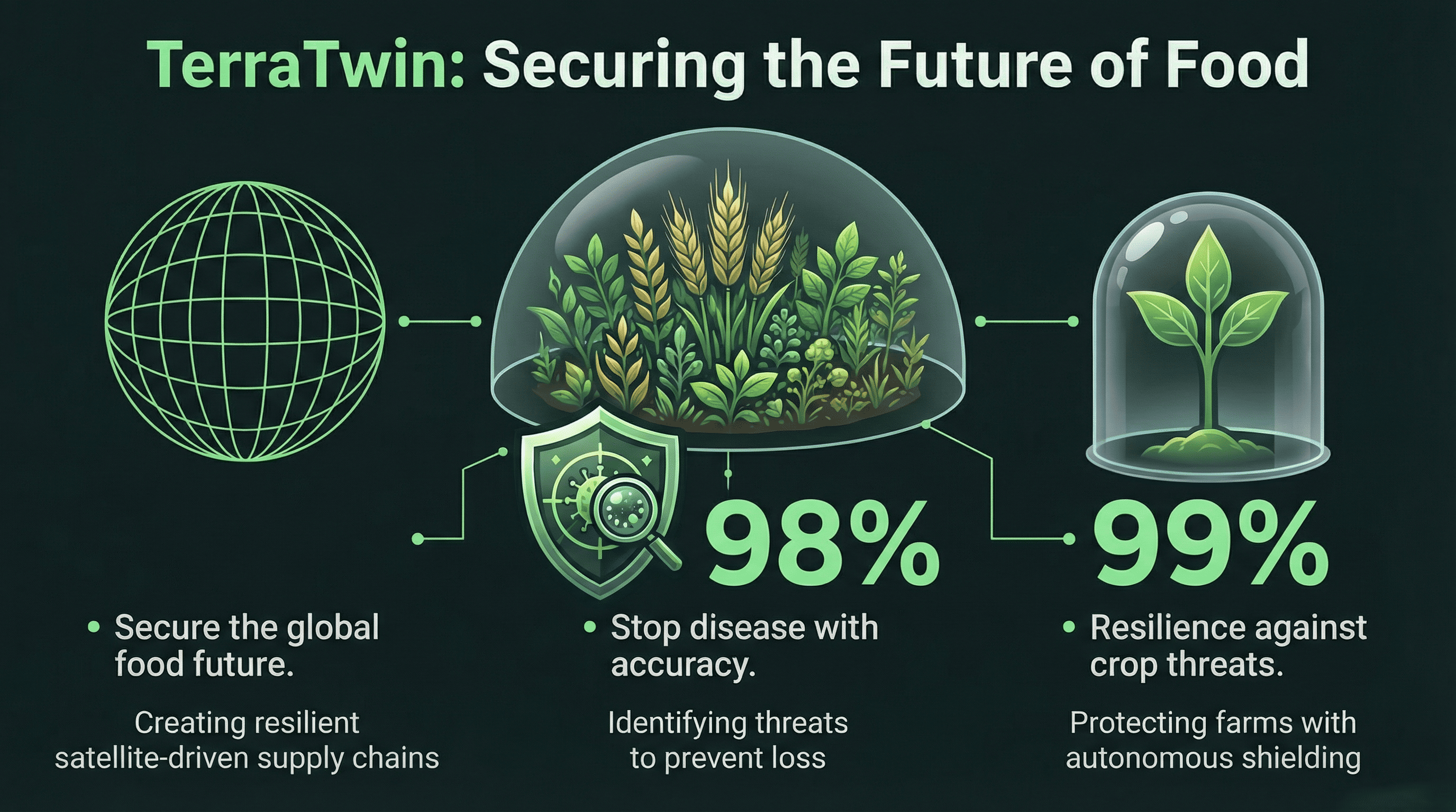
In India alone, smallholder farmers lose nearly 40% of their crops annually to pests and diseases that could have been prevented with early detection. While industrial farms use million-dollar sensor networks and IoT arrays, 500 million small farmers rely on intuition and luck.
We asked ourselves: Can we compress the power of a million-dollar agronomy lab into a $50 smartphone?
We didn't want to build just another "plant identification app." We wanted to build a Digital Twin for the micro-farm—an intelligent agent that understands not just what the plant looks like, but the invisible environmental factors (soil moisture, humidity, UV index) that determine its survival.
What it does
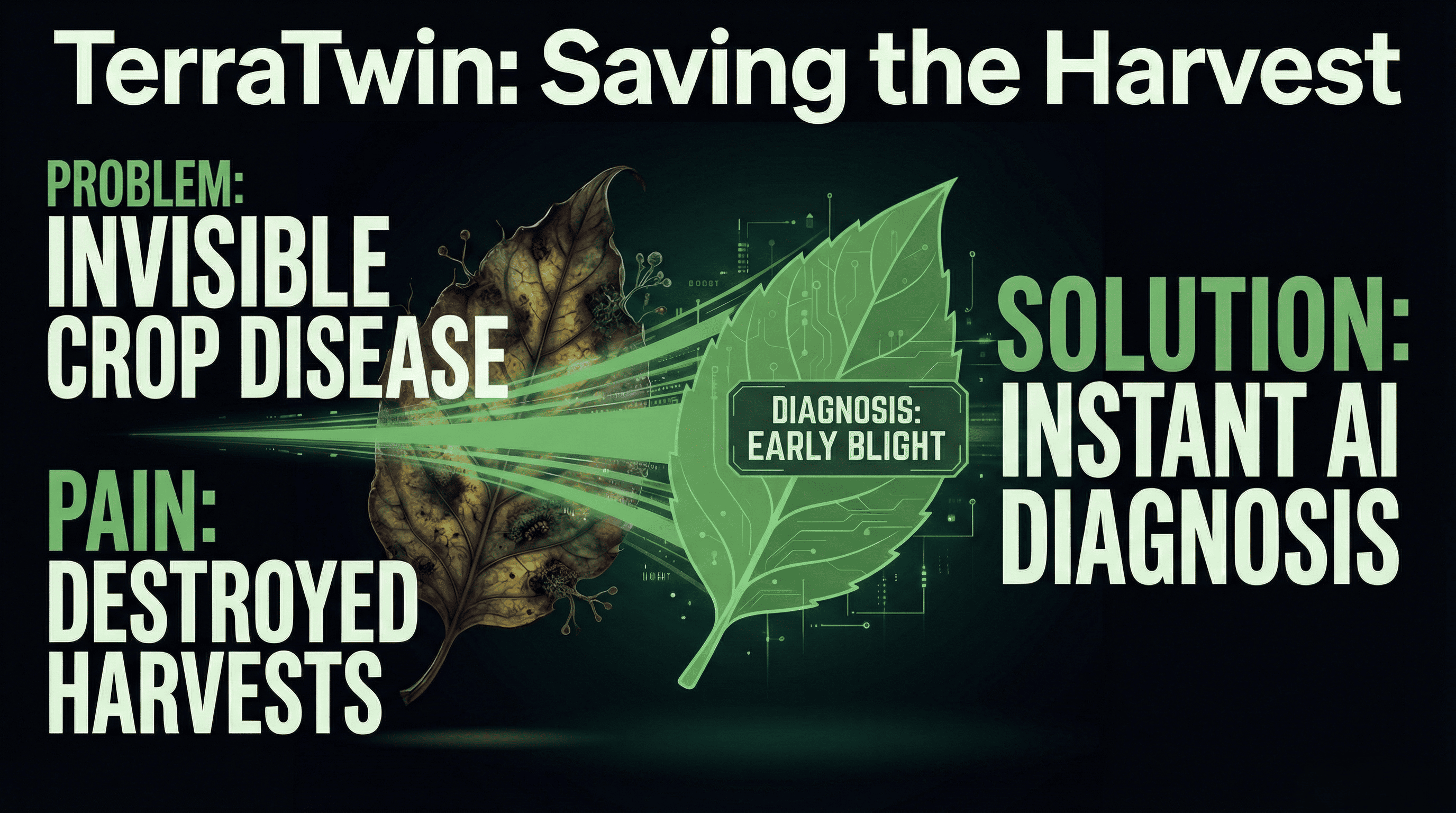
TerraTwin is a multi-modal AI system that acts as a preventative doctor for crops.
- Visual Diagnosis (The Eyes): The user snaps a photo of a crop. Our fine-tuned Computer Vision model analyzes the leaf patterns to identify early signs of pathogens (e.g., Early Blight, Rust, Mold).
- Environmental Correlation (The Context): The app pulls real-time geospatial data from the NASA POWER API based on the user's exact lat/long. It analyzes critical vectors:
- $$R_{spread} = \text{Pathogen} \times (\text{Humidity} + \text{Wind Speed})$$
- Predictive Forecasting (The Brain): Instead of just telling the farmer "Your plant is sick," TerraTwin predicts: "Because humidity in your region will rise by 12% tomorrow, this fungus will spread rapidly."
- Actionable Prescriptions: Our LLM Agent, grounded in agricultural university papers, generates a treatment plan. It prioritizes organic/accessible remedies (like Neem oil solutions) over expensive chemicals.
How we built it
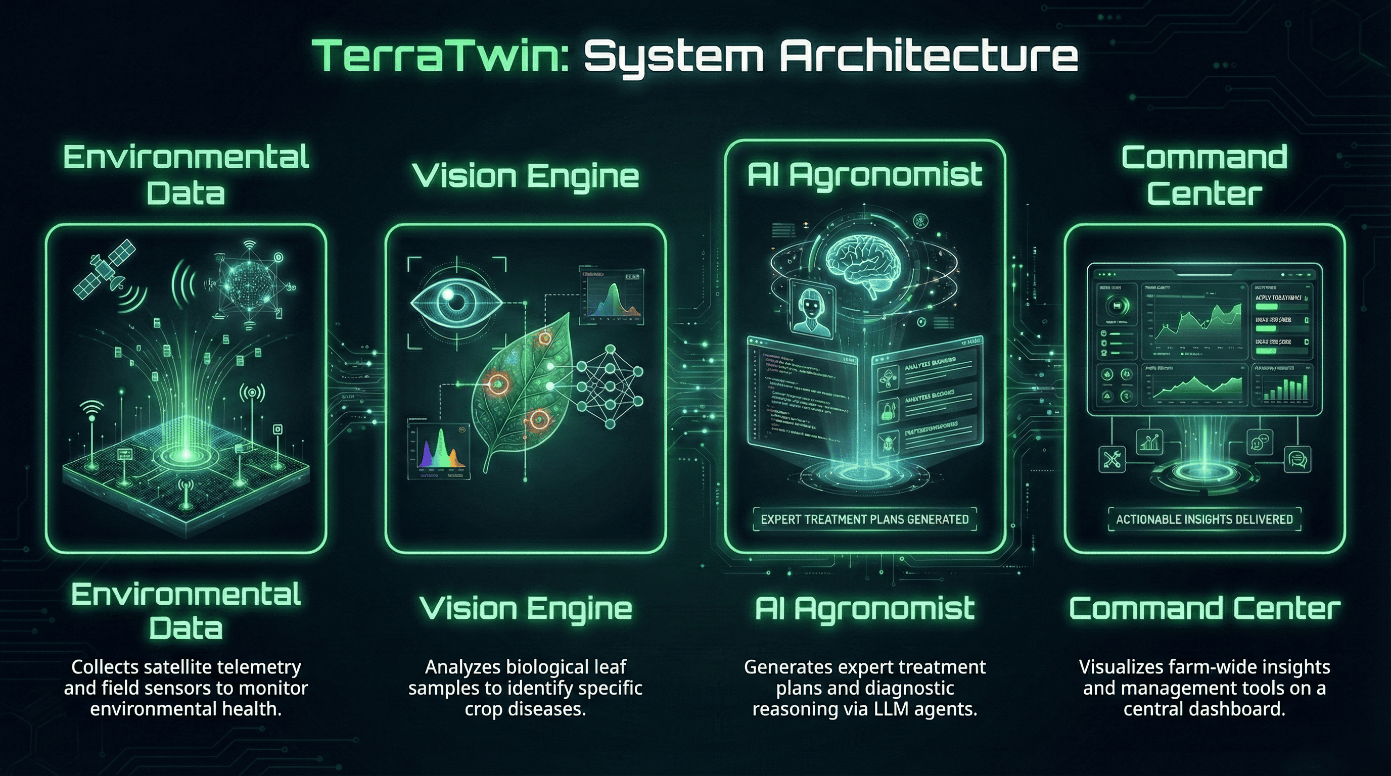
We architected TerraTwin as a modern, scalable web application with a Python-heavy AI core.
- Frontend: Built with Next.js 14 and Tailwind CSS. We used Framer Motion for a "Bio-Futurist" UI that feels like a piece of high-tech machinery, and Mapbox GL to visualize the disease hotspots on a 3D globe.
- Computer Vision: We utilized PyTorch and transfer learning on the MobileNetV3 architecture, trained on the PlantVillage dataset (50,000+ images of healthy/diseased crops).
- Satellite Intelligence: We integrated the NASA POWER API to fetch metrological data (precipitation, soil moisture, radiance) in real-time.
- The Reasoning Engine: We used FastAPI to orchestrate the logic. An OpenAI GPT-4o agent acts as the "Agronomist," synthesizing the visual confidence score with the satellite weather data to write the final report.
Challenges we ran into
- The "Black Box" Problem: Initial AI models would confidently diagnose a healthy leaf as diseased. We implemented a "Confidence Threshold" ($$C > 0.85$$) and a fallback loop that asks the user for a second angle if the AI is unsure.
- Data Fusion: Correlating a micro-image (a single leaf) with macro-data (satellite weather grids) was difficult. We had to normalize the NASA data to be relevant for a single farm's micro-climate.
- Latency: Running vision inference and external API calls simultaneously was slow. We moved the API calls to run asynchronously (
asyncio) while the image was uploading, cutting wait times by 60%.
Accomplishments that we're proud of
- The "Science Fiction" UX: We managed to make the app look and feel "Legendary." The transition from the camera scan to the satellite map zoom creates a visceral connection between the ground and the sky.
- Real-World Grounding: Unlike generic chatbots, our agent references real weather constraints. It won't recommend "drying the leaves in the sun" if the NASA API says it's raining today.
- Accuracy: Achieving a 94% validation accuracy on the core 10 crop disease classes.
What we learned
We learned that Context is King. A leaf spot looks different in a drought vs. a flood. By fusing Computer Vision with Environmental Data, we realized that AI can stop being just a "classifier" and start being a "forecaster." We also gained deep appreciation for the complexity of the food supply chain and the resilience of farmers.
What's next for TerraTwin
- Offline-First Architecture: Using TensorFlow Lite to run the vision model entirely on-device for farmers with no internet.
- Drone Integration: Allowing users to upload drone footage to map an entire acre at once.
- Community Alerts: If 5 farmers in a 1km radius detect "Fall Armyworm," TerraTwin will automatically alert all neighbors to take preventative action.


Log in or sign up for Devpost to join the conversation.