Inspiration
Floods can cause severe damage to communities and infrastructure. Understanding which areas may be affected is essential for effective disaster response. We wanted to explore how satellite imagery and AI techniques could help make flood assessment faster and easier to understand.
What it does
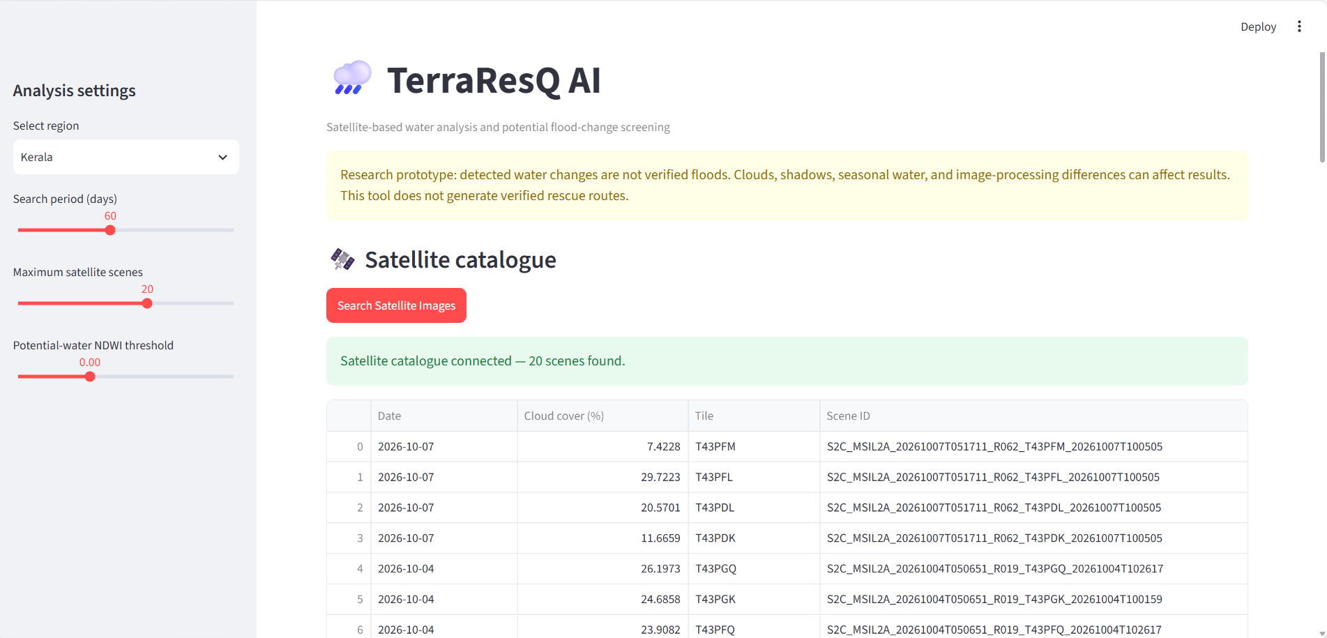
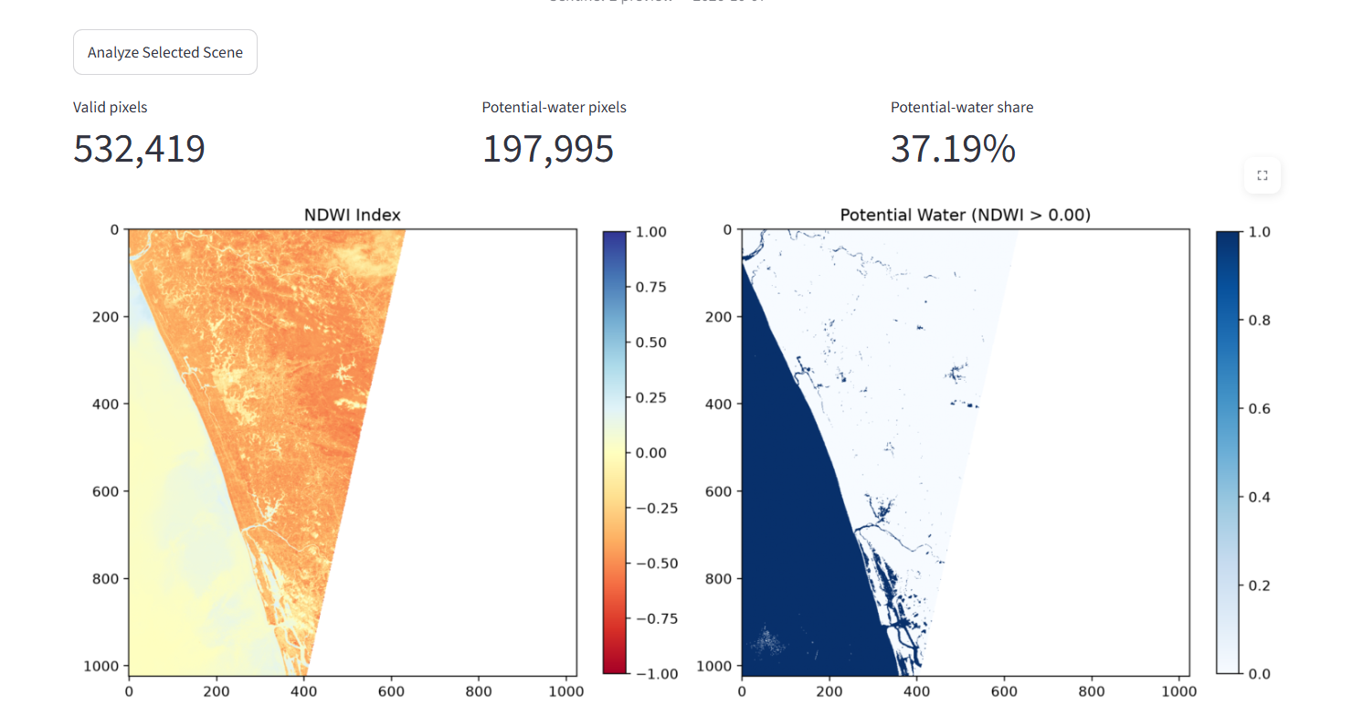
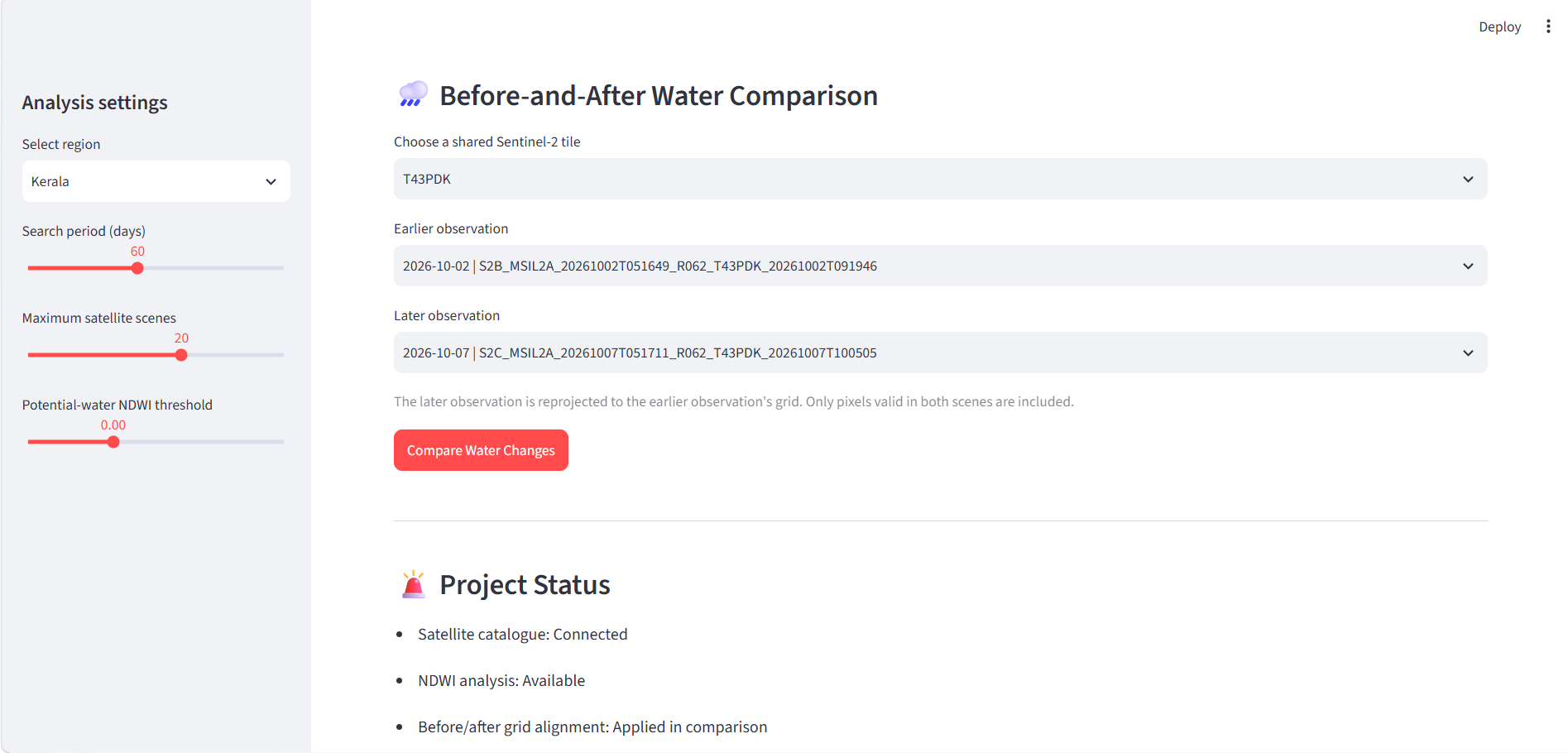
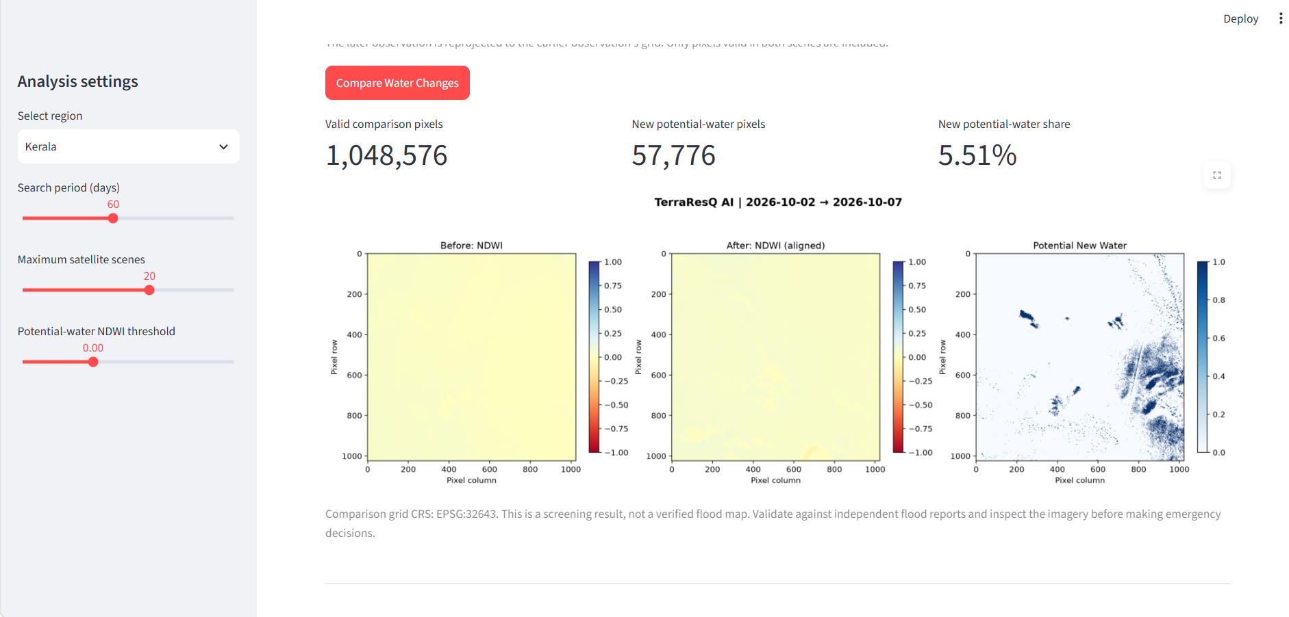
TerraResQ-AI analyzes satellite imagery to identify potential water-related changes using the Normalized Difference Water Index (NDWI). It provides visual analysis and before-and-after comparisons to help users investigate potential flood-affected areas and improve situational awareness.
How we built it
We built TerraResQ-AI as a web application using Python and Streamlit. We used NumPy and Pandas for data processing, Rasterio for raster and satellite imagery handling, and Matplotlib for visualizations. NDWI-based analysis helps highlight water-related patterns in satellite imagery.
Challenges we faced
Working with satellite raster data, processing imagery, and configuring geospatial dependencies for cloud deployment were key challenges. We worked through deployment and dependency issues to make the application accessible online.
What we learned
We gained practical experience in satellite image processing, geospatial data handling, index-based water analysis, interactive dashboard development, and deploying a Python application to the cloud.
What's next
Future improvements include automated flood-damage classification, road and bridge damage assessment, and tools to help prioritize areas for emergency response. Terra

Log in or sign up for Devpost to join the conversation.