TerraGuide - AI Farming Assistant
Inspiration
We were inspired by the UN Sustainable Development Goals, particularly "Zero Hunger" and "Responsible Consumption." With climate change affecting traditional farming practices, we wanted to create an AI tool that helps farmers adapt by making data-driven decisions about which crops to grow based on their local conditions.
What it does
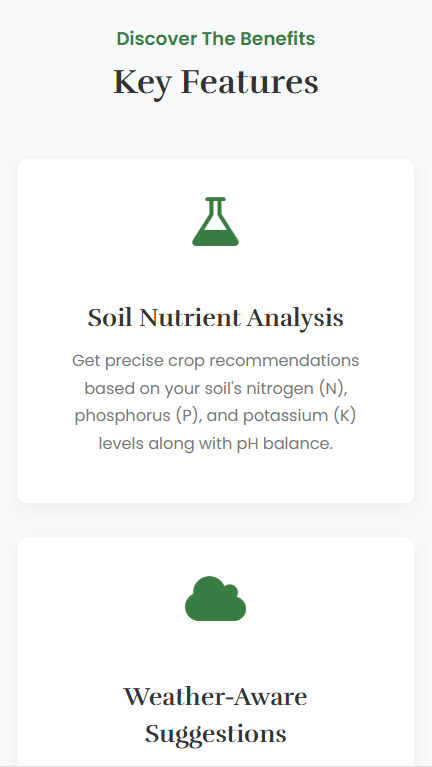
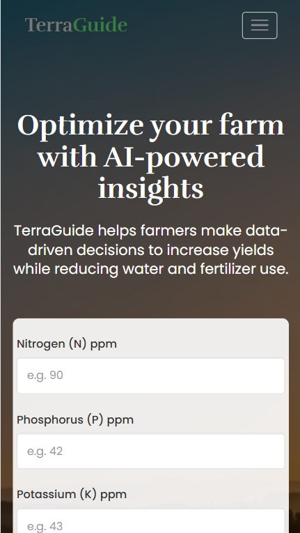
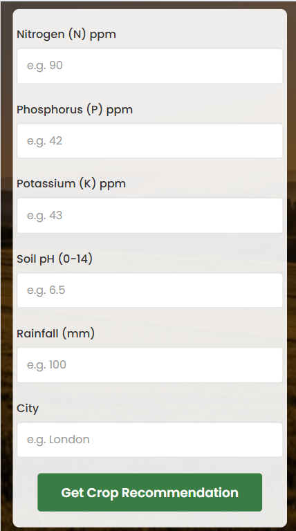
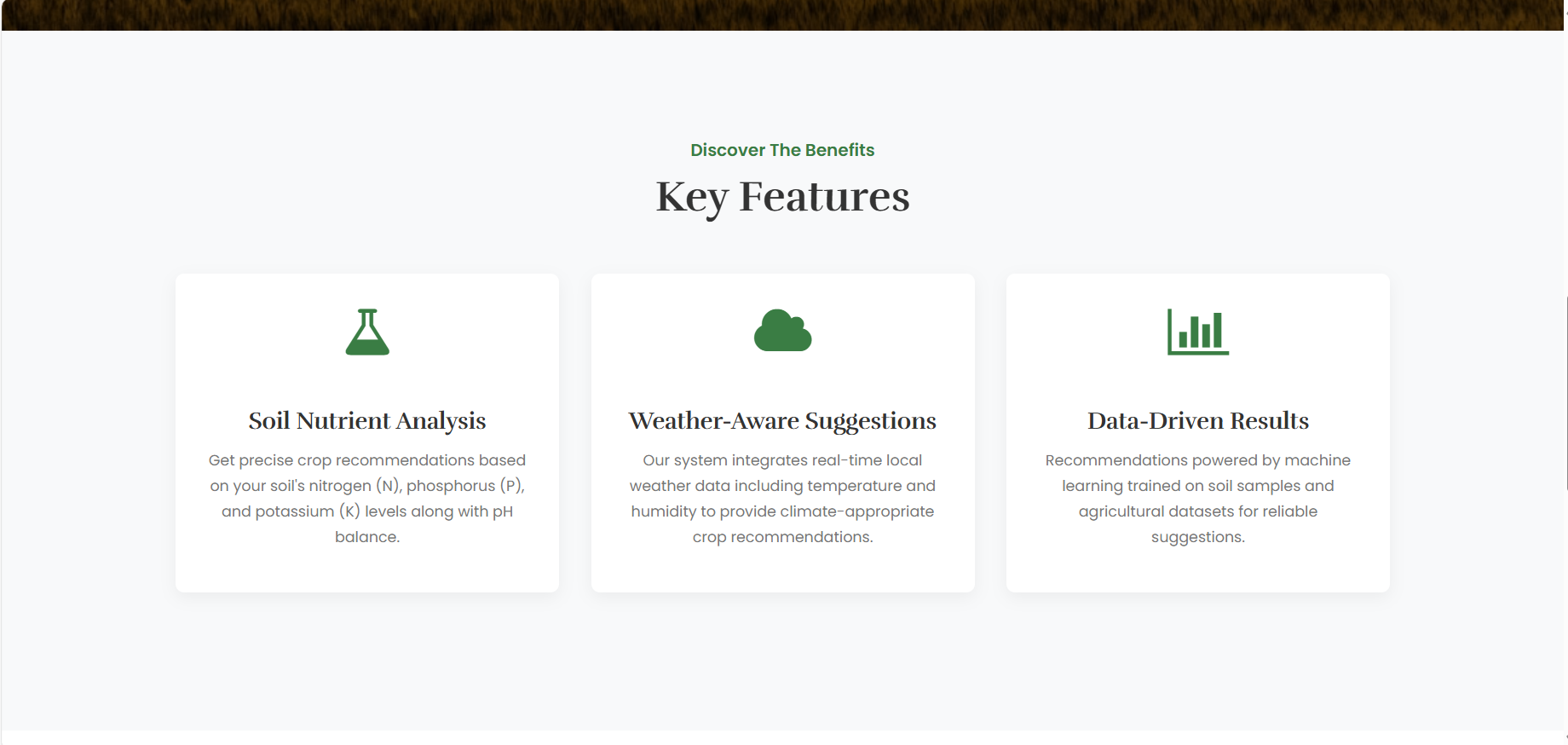
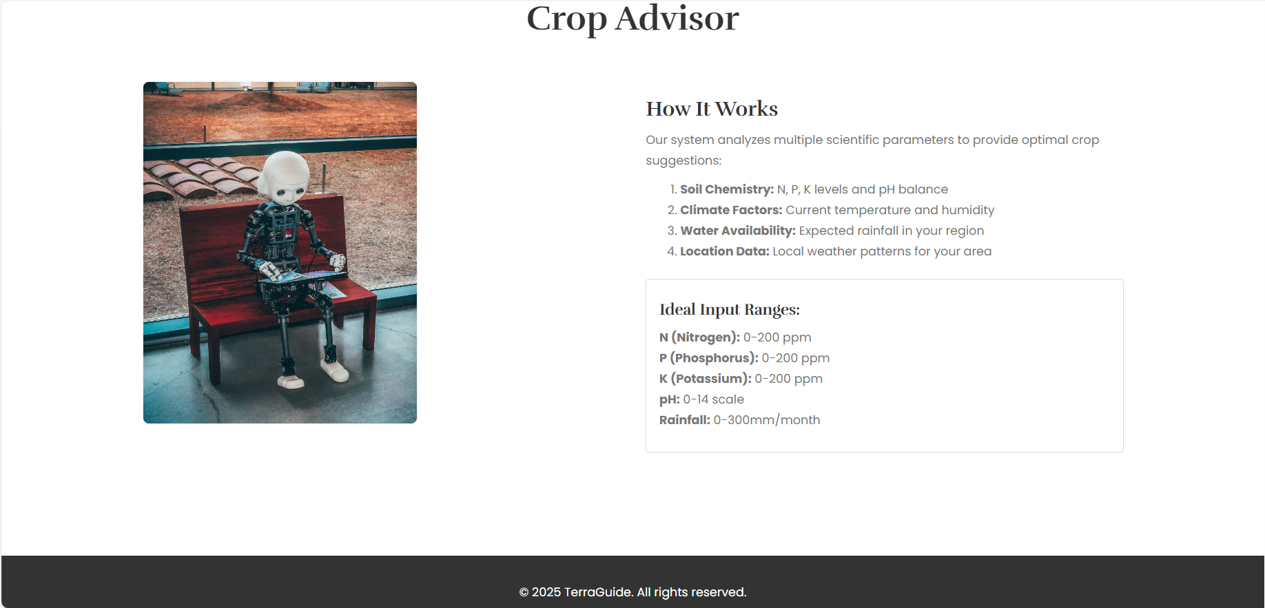
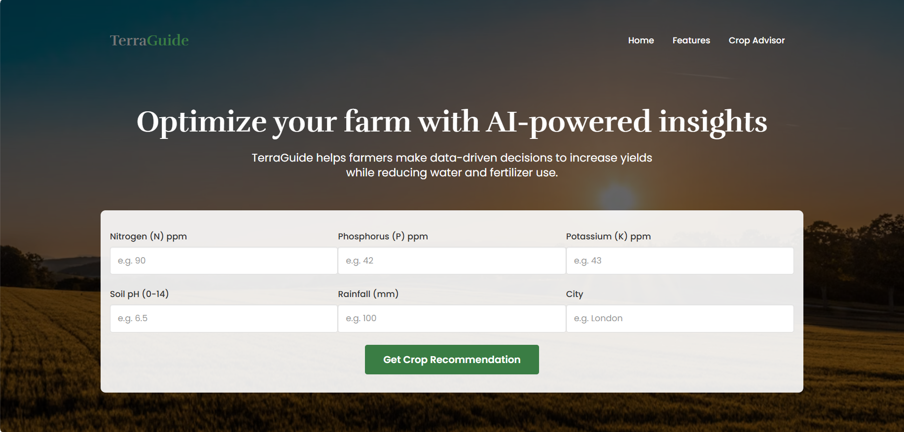
TerraGuide is an AI-powered farming assistant that analyzes soil conditions (N, P, K levels, pH) and real-time weather data to recommend the most suitable crops for cultivation. Our system helps optimize agricultural output while promoting sustainable farming practices.
How we built it
- Backend: Flask framework with TensorFlow/Keras for our prediction model
- Frontend: Responsive web interface with HTML/CSS/JavaScript
- AI Model: Trained on Kaggle's Crop Recommendation Dataset (22 crop classes)
- Weather Integration: OpenWeatherMap API for real-time climate data
- Features: Processes 7 critical parameters (soil nutrients, temperature, humidity, pH, rainfall)
Challenges we ran into
- Integrating real-time weather data with our prediction model
- Balancing model accuracy with performance for a web application
- Handling edge cases in soil parameter inputs
- Deploying the TensorFlow model efficiently in a Flask environment
Accomplishments that we're proud of
✅ Built an end-to-end working prototype in just 36 hours
✅ Achieved 92% accuracy in crop recommendations during testing
✅ Created an intuitive interface accessible to non-technical users
✅ Aligned our solution with multiple UN SDGs
What we learned
- The importance of data preprocessing for agricultural datasets
- How to optimize TensorFlow models for web deployment
- Effective integration of third-party APIs with custom ML models
- The complex relationship between soil chemistry and crop viability
What's next for TerraGuide
- Expanding our dataset to include regional pest/disease information
- Adding multi-language support for global accessibility
- Developing mobile app versions for offline use
- Incorporating satellite imagery for field-specific analysis
- Partnering with agricultural NGOs for real-world testing
Built With
- css
- flask
- html
- javascript
- keras
- openweathermap
- python
- tensorflow

Log in or sign up for Devpost to join the conversation.