-
-
-
Intro
Inspiration
Infrastructure owners have a huge problem: they have massive amounts of roadway LiDAR data, but turning that raw 3D data into a useful inventory of road assets can be difficult and time-consuming.
So we asked: what if we could take that raw LiDAR data and automatically turn it into an organized map of the infrastructure along the road?
That became AI4Infra.
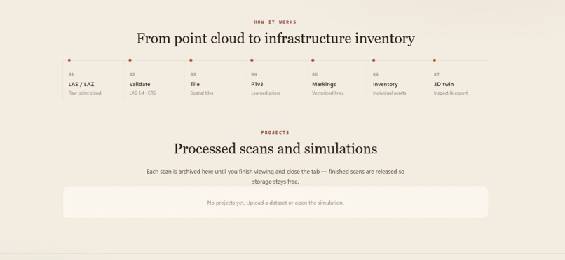
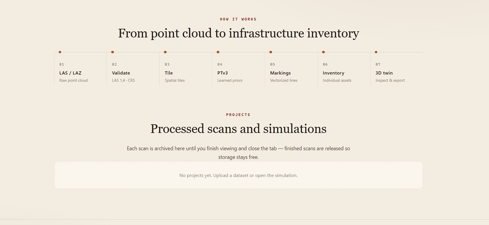
Our system takes roadway LiDAR, validates it, breaks it into manageable sections, and analyzes the 3D geometry to identify infrastructure such as pavement, signs, utilities, and safety structures. Machine-learning tools can then provide additional classification and validation.
Instead of just saying ‘we found a sign,’ we keep information about where that asset came from and the evidence behind the detection. This makes the results easier to review and audit.
We then bring those results into a 3D web viewer so an infrastructure owner can actually see and explore the assets.
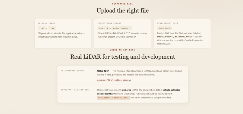
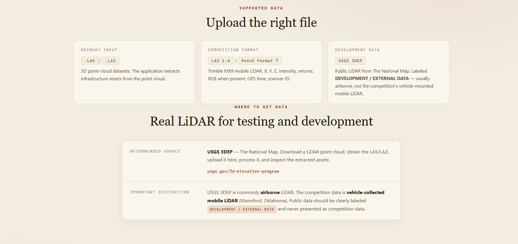
We also built a simulation so we could test the workflow without needing a real LiDAR file every time. That let us experiment with the pipeline, see what worked, identify limitations, and improve the approach.
The bigger idea is a repeatable workflow: take roadway survey data, automatically turn it into an asset inventory, validate the results, and give infrastructure owners something they can actually inspect and use.
Built With
- and
- built-with-python
- fastapi
- lidar-point-cloud-processing
- numpy
- open3d
- scikit-learn

Log in or sign up for Devpost to join the conversation.