High levels of Land misallocation in our country(Uganda) due to a corrupt software used to manage land registrations and allocations
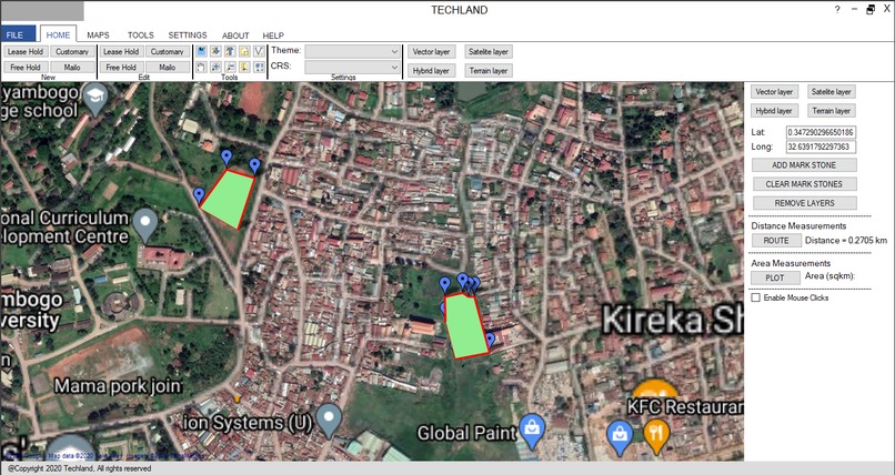
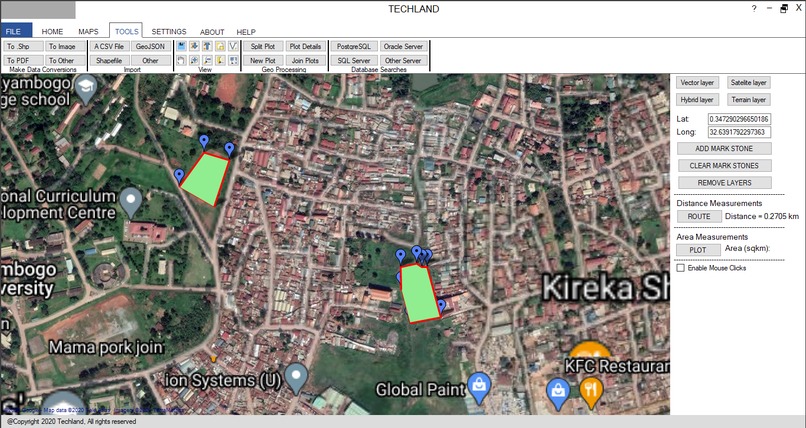
Techland allows the registration of new land that has been surveyed, re-registration of land titles, transactions of land titles, conversitions of data to different data formats
We used PostgreSQL for the backend and visual studio 2019 for the front end and C# to create the connection between the two applications
The GMAP Control of visual studio 2019 was not reflecting the here data layers properly
The interface of the system has been accomplished and the backend too
How to make use of the here data layers to build a software that can solve a problem affecting our country


Log in or sign up for Devpost to join the conversation.