-
-
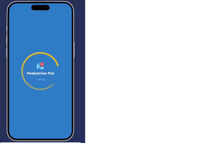
Loaded app
-
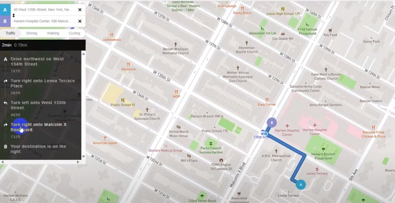
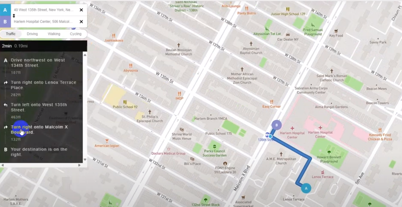
Navigation
-

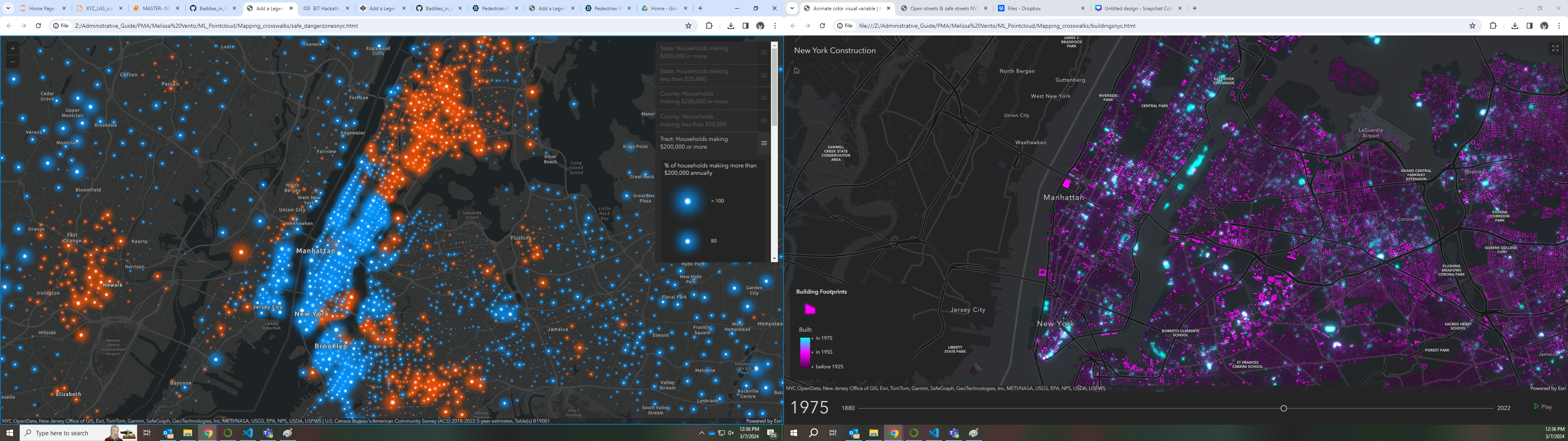
safe and danger zones (red=danger / blue=safe)
-
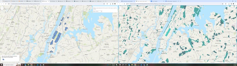
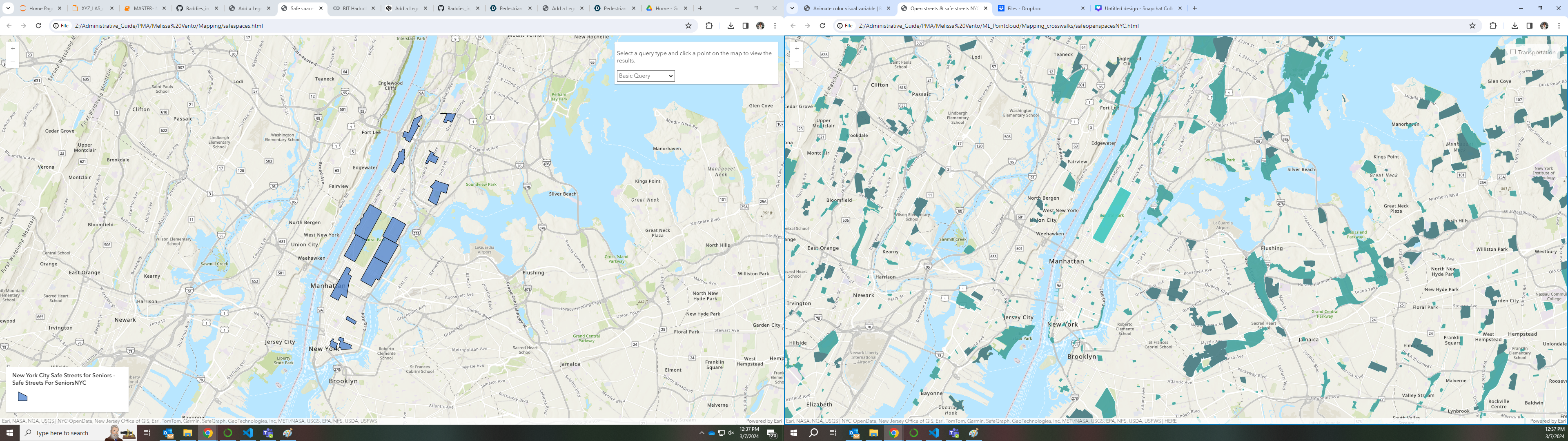
safe spaces

Inspiration
Our inspiration lies in empowering women to confidently navigate any major city on foot, ensuring they are guided along safe and bustling routes while avoiding inaccessible paths. We want to create a solution that addresses concerns such as finding well-lit routes, avoiding unsafe areas, and receiving real-time alerts about potential hazards. Additionally, we aim to provide easy access to women's resource centers and health resources, ensuring that women can access support and services that promote their well-being while navigating urban environments.
What it does
PedestrianPal is an app designed to help users navigate urban environments safely. It provides features such as route planning with safety considerations, real-time hazard alerts, and sharing your location with trusted contacts for added security. The app aims to empower pedestrians, particularly women, to feel more confident and secure while walking in cities.
How we built it
We built PedestrianPal using a combination of design tools, such as Figma for prototyping and Python using the Folium library with Django for backend development. The Figma designs were translated into a functional app using Django's web framework, allowing us to create a responsive and intuitive user interface. We also integrated various APIs and data sources to provide accurate and up-to-date information about pedestrian routes and safety concerns.
We used Python libraries folium, pandas, and geopandas for the AI aspect of mapping and predicting safe spaces in nyc by looking at danger zones using the NYPD historical crimes dataset.
Challenges
As we proceeded to development we tested the AI aspect using Boston crimes and it worked, when we went to transfer the same idea to NYPD we noticed the dataset was too large to process correctly. We were able to process a cluster map using folium; however, we would need to preprocess the CSV file so it isn't quite so large. We also had a development issue of adding layers to the map, so the next steps would be to have all the different maps into one layer that you can toggle between. For example, toggle between safe and dangerous zones, open spaces, and car collision areas.
What's next for Pedestrian Pal
In the future, we plan to further enhance PedestrianPal with additional features such as crowd-sourced safety ratings, community forums for sharing tips and experiences, and integration with wearable devices for real-time monitoring of user safety. We also aim to expand our coverage to more cities and collaborate with local authorities and organizations to promote pedestrian safety initiatives. We aim to make PedestrianPal the go-to app for safe and enjoyable urban walking experiences worldwide.


Log in or sign up for Devpost to join the conversation.