-
-
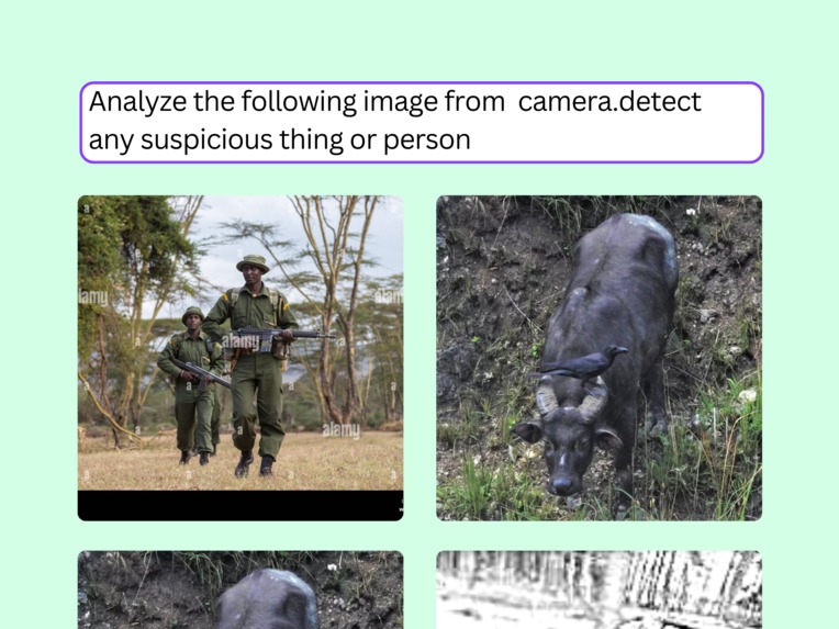
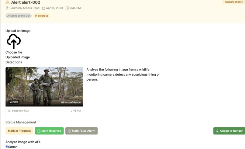
integrated alert
-
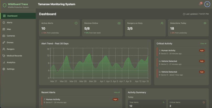
Home dashboard
-
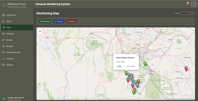
informative view on clicking location pin
-
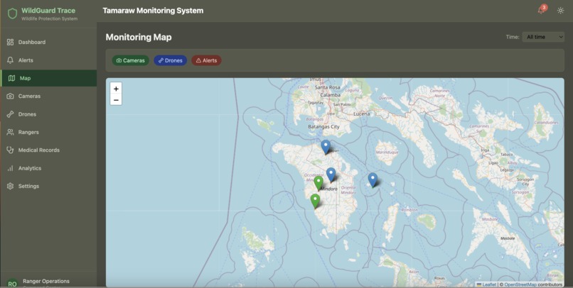
informative view on clicking location pin
-
-

-



Inspiration
It is Inspired by providing a solution to endangered animals conservation of the Tamaraw ''Bubalus mindorensis" - the Philippines' national land animal found only on Mindoro Island. This is Tamaraw sonar where users can help identify tamaraws and threats from camera trap images, similar to a "wildlife spotting" in Mounts Iglit-Baco Natural Park.
What it does
AI system that analyzes camera trap or drone footage . detect potential poaching activity or habitat threats from uploaded images for monitoring and protecting the critically endangered Tamaraw, sending real-time alerts to rangers .

How we built it
We built the Sonar Pro model into the project. We built Data Portal so would serve as a centralized, access digital hub for aggregating, visualizing, and sharing data relevant to endangered tamaraw .We built a dashboard with Nextjs . built map to visually track camera locations .built alerts view to visually track Alerts. We built an Upload image Section. built Grant generator to draft rewrite a grant.
Challenges we ran into
Getting api for tamaraw dataset is a challenge. To convert an image to advanced analysis using the Perplexity Sonar API, you can leverage its image upload and multimodal prompt capabilities
Accomplishments that we're proud of
Put self in the shoes of a ranger. Build a natural language Ai workflow, to spot threats . Connect experts ai workflow that uses Sonar pro model.
📷 Surveillance Setup Drones & camera traps monitor protected areas.
🤖 Sonar AI Analysis Footage is scanned using deep learning models to detect poachers or hazards.
🚨 Real-Time Alerts notifications sent to rangers and conservation teams.
🛡️ Rapid Response
What we learned
Sonar API and multi modal image processing and alerts.
What's next for Tamaraw Sonar
Desktop Visual Basic version
Built With
- experience
- mac
- nextjs
- npm
- perplexity
- react
- sonar-api
- visual-studio

Log in or sign up for Devpost to join the conversation.