-
-
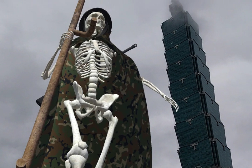
Taiwan Geopolitical Risk
-
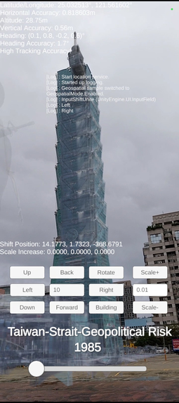
Taiwan Geopolitical Risk - Calibration
-
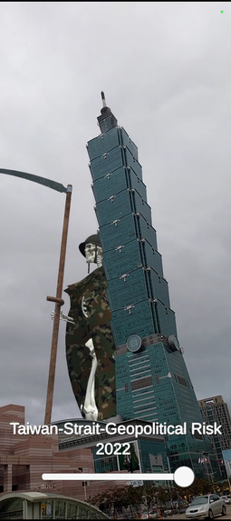
Taiwan Geopolitical Risk
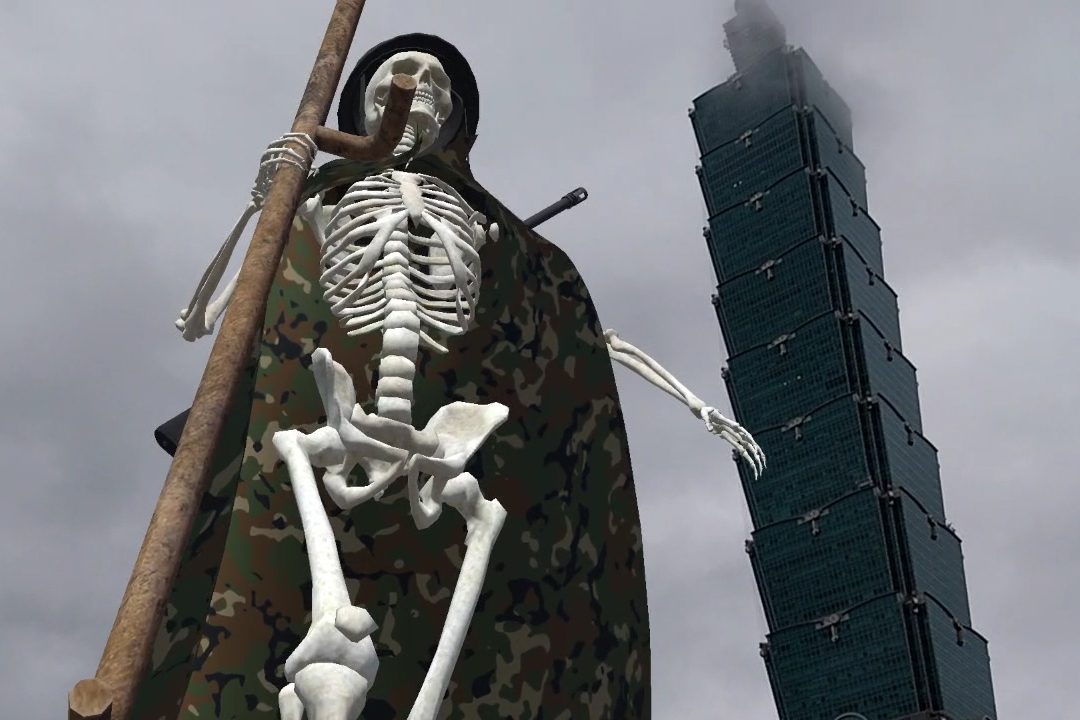
Inspiration
- Gorillaz’s live AR performance over Time Square in New York, in 2022.
- Canadian artist Justin LeDuc's digital aniamtion of a gigantic Grim Reaper at Golden Gate Bridge in San Francisco, in 2018.
What it does
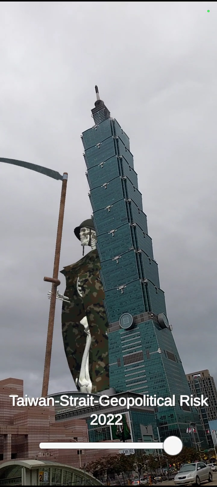
- Location-based animated AR show that reveals a gigantic Grim Reaper cloaked in camouflage, wandering around Taipei 101.
- It visualizes Taiwan-Strait-Geopolitical Risk Index 1985-2022, in a creative and dramatical way, to show the public the deteriorating truth and reality of military escalation risk in Taiwan, where China and the US on a collision course for war.
APP Instruction
https://docs.google.com/document/d/1Qe2yIS1weNBmWhJf13HYs5RAdmMJrU2oBZP-FMoBIpo/edit?usp=sharing
How we built it
- Designing, rigging, animating character in Maya
- Retrieving 3D model of Taipei 101 from Google Map for occlussion culling.
- C# coding, compositing, and ARCore Geospatial API integration in Unity.
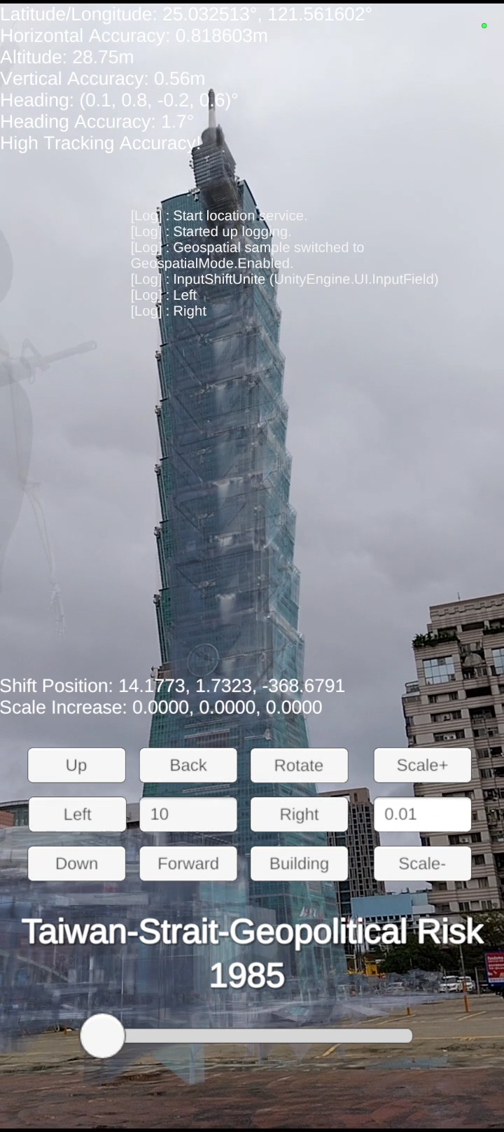
- Developing a calibrator for audience, allowing them manually aligning occlusion culling to get better individual viewing experience.
Challenges we ran into
- Occlusion culling offset constantly happens when the character make a contact or walk behind the skyscraper, which impairs UX and limits artist's creativity.
- The screen turns up black when testing to one of our Android phones (Samsung Galaxy A23). It can only be fixed temporarily by re-installing 'Google Play Service for AR'. The problem will happens again next time if quitting the APP.
Accomplishments that we're proud of
- First-time experiene of the ARCore Geospatial API, applying to an animated AR show.
- Using the techniques to tell the most important story/fact that happening in our home island.
What we learned
- ARCore Geospatial API is way better than GPS in location-based AR. It looks quite promising in marketing, navigation, game and entertainment.
- The occlusion culling offset most likely happens when camera aims at high angle, too much camera movement, or the viewing position far from the target location, which is a ground geographic position.
What's next for Taiwan Geopolitical Risk
- To improve UX by alternative ways of auto alignment techniques to avoid occlusion culling offset.
- To expand the project into a location-based game or live AR show that applying ARCore Geospatial API.


Log in or sign up for Devpost to join the conversation.