

Inspiration
Reduce the number of crowd induced by casualties in Hajj.
What it does
Provide a platform that locates and visualize the movement of troops of Hajjies on a map designed for the Hajj that serves as a crowd management system
How we built it
Using Google Maps APIs we managed to build a web based application that renders a live location feed of a clustered group of people.
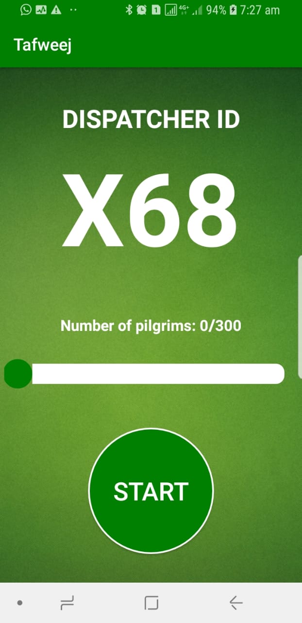
we have build an iOS and Android app to be installed for every group of people in Hajj (Mfwjeen), so that the app can send feeds to the database
Challenges we ran into
- Clustering Algorithms for grouping troops of Hajjies
- Location Monitoring in the background
- Troops Authentication
- lack of supporting data.
- GPS accuracy.
Accomplishments that we're proud of
- Finished a live feed of moving clusters in the map
- Designed a map that suits Hajj view
- Built three platforms (Android / iOS / Web)
- Cloud functions for data processing
- Collecting and providing extremely helpful and unique data which can be used for better crowd management in the future.
What's next for Tafweej
- Release a pilgrim app that connects to the same system to help the pilgrim as well as the guide in a one crowd management system.
- Add a direct communication between the moderator and the guide to make the system more responsive for the moderator.
- Feed the data to an AI to help the Ministry of Hajj and the moderator in managing the crowds with state of the art science.
- Add custom POI to the Map.
- Add support to different languages.
- Improve the GPS accuracy.

Log in or sign up for Devpost to join the conversation.