Inspiration
Utilities often plan major grid projects separately, creating avoidable conflicts in land, scheduling, crews, and construction resources. Synchro was inspired by the need for better cross-utility coordination before construction begins.
What it does
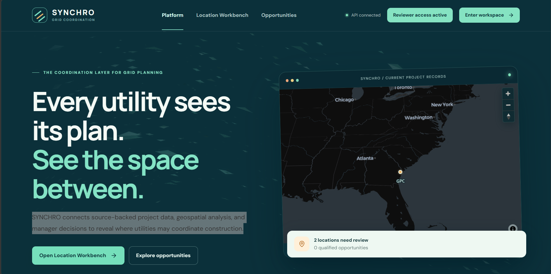
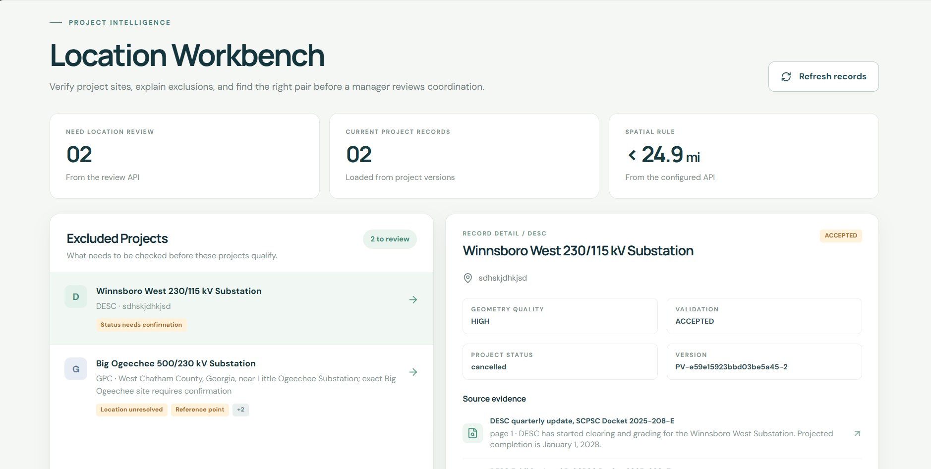
Synchro compares future utility projects, maps where they overlap, ranks coordination opportunities, and shows potential cost, time, land, and scheduling impact. Managers can review decisions and keep an audit trail.
How we built it
We used public utility planning data, geospatial processing, PostGIS, FastAPI, Next.js, MapLibre, and AI-assisted document extraction. AI extracts facts, while deterministic algorithms handle distance, overlap, ranking, and impact calculations.
Challenges we ran into
Utility data was fragmented, dates were often inconsistent, and many projects lacked exact coordinates. We also had to distinguish real construction windows from simple in-service dates and avoid treating approximate geometry as exact.
Accomplishments that we're proud of
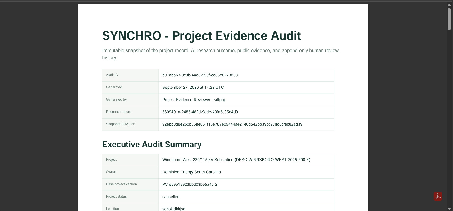
We built a system that goes beyond plotting projects on a map. Synchro explains why an overlap matters, quantifies potential impact, preserves source evidence, and records manager decisions through a Decision Ledger.
What we learned
The hardest part was not finding projects, it was making the data trustworthy enough to compare. We learned that provenance, uncertainty, and deterministic calculations matter just as much as AI.
What's next for Synchro
We want to expand to more utilities, improve cost and schedule impact modeling, support richer GIS data, and make Synchro a real coordination platform for regional infrastructure planning.
Built With
- fastapi
- gemini
- postgis
- postgresql
- railway
- react

Log in or sign up for Devpost to join the conversation.