-
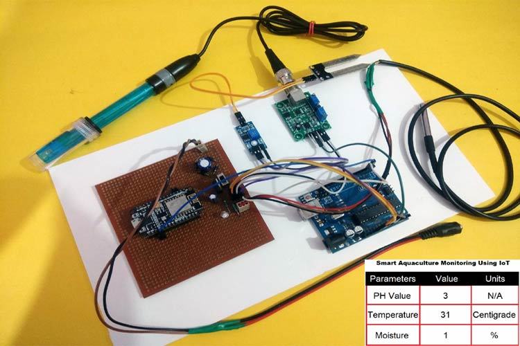
Full Prototype Setup

This project was inspired by the increasing environmental and public health problems caused by stagnant water bodies in urban and rural areas. During field observations, I noticed that poorly drained areas often became breeding grounds for mosquitoes, produced unpleasant odors, and negatively affected nearby agricultural lands.
Learning about watershed modeling and sustainable water management motivated me to explore how hydrological simulation tools like the Soil and Water Assessment Tool (SWAT) could be applied not only for river basin analysis but also for identifying and managing stagnant water zones. The idea was to combine environmental modeling with practical treatment strategies to create a sustainable solution.
📚 What I Learned
Through this project, I gained knowledge in:
Hydrological modeling and watershed delineation
Water quality analysis, including parameters such as:
pH
Dissolved Oxygen (DO)
Nitrogen (N) and Phosphorus (P) concentrations
GIS-based spatial analysis
Environmental remediation techniques
One important concept I learned was the basic water balance equation used in SWAT:
𝑆 𝑊
𝑡
𝑆 𝑊 0 + ∑
𝑖
1 𝑡 ( 𝑃 𝑖 − 𝑄 𝑖 − 𝐸 𝑇 𝑖 − 𝑊 𝑖 ) SW t
=SW 0
+ i=1 ∑ t
(P i
−Q i
−ET i
−W i
)
Where:
𝑆 𝑊 𝑡 SW t
= Final soil water content
𝑆 𝑊 0 SW 0
= Initial soil water content
𝑃 𝑖 P i
= Precipitation
𝑄 𝑖 Q i
= Surface runoff
𝐸 𝑇 𝑖 ET i
= Evapotranspiration
𝑊 𝑖 W i
= Percolation and return flow
Understanding this equation helped me analyze how excess water accumulates and contributes to stagnant zones.
🛠 How I Built the Project 1️⃣ Data Collection
I gathered:
Digital Elevation Model (DEM) data
Land use and soil maps
Climate data (rainfall, temperature, humidity)
Field water quality measurements
2️⃣ Watershed Modeling
Using SWAT integrated with GIS software, I:
Delineated the watershed
Identified low-slope and poor-drainage sub-basins
Simulated runoff and water accumulation patterns
3️⃣ Stagnant Water Identification
Areas with:
Low flow velocity
High water retention time
Repeated water accumulation
were classified as potential stagnant water zones.
4️⃣ Treatment Strategy Design
Based on analysis results, I proposed:
Phytoremediation systems
Constructed wetlands
Sediment dredging
Improved drainage channels
The design focused on sustainable and low-cost environmental solutions.
⚠ Challenges I Faced 🔹 Data Limitations
Accurate and high-resolution environmental data were sometimes unavailable, which affected model precision.
🔹 Model Calibration
Calibrating SWAT parameters to reflect real-world stagnant water conditions required multiple simulations and validation steps.
🔹 Field Verification
Comparing simulated results with actual field conditions was time-consuming and required repeated site visits.
🔹 Interdisciplinary Complexity
The project required knowledge from hydrology, environmental chemistry, GIS, and ecology, making it technically challenging but also highly educational.
✅ Conclusion
This project demonstrated how hydrological modeling tools like SWAT can be applied beyond traditional watershed management to address stagnant water problems. It strengthened my understanding of environmental systems, data analysis, and sustainable treatment design.
Most importantly, it showed me how scientific modeling combined with practical environmental engineering can contribute to healthier ecosystems and safer communities.

Log in or sign up for Devpost to join the conversation.