Inspiration
Last year, we regularly went out to watch sunsets. Eventually, we kept returning to the same three spots. Finding somewhere new meant searching for photos, parking, opening hours, trail distances, and rules across different websites. The effort and uncertainty made us go out less often.
We built Sunspot around a simple question: what if discovering a new viewpoint felt as easy as deciding to go outside?
Sunspot connects Modern Life and Nature Life by reducing the planning effort that stands between a busy day and an outdoor experience.
What it does
Sunspot helps people discover viewpoints and prepare for their visit in one place.
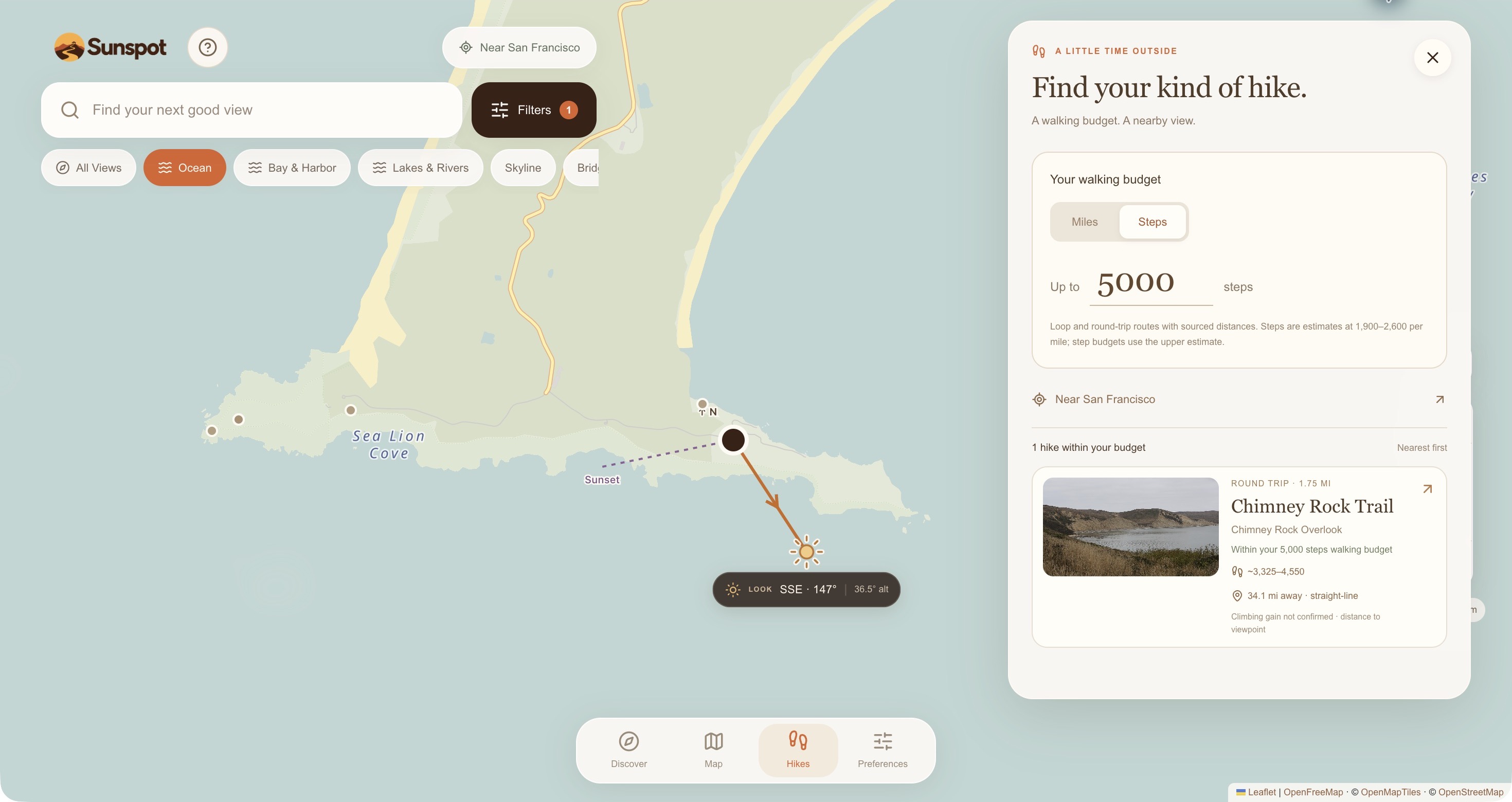
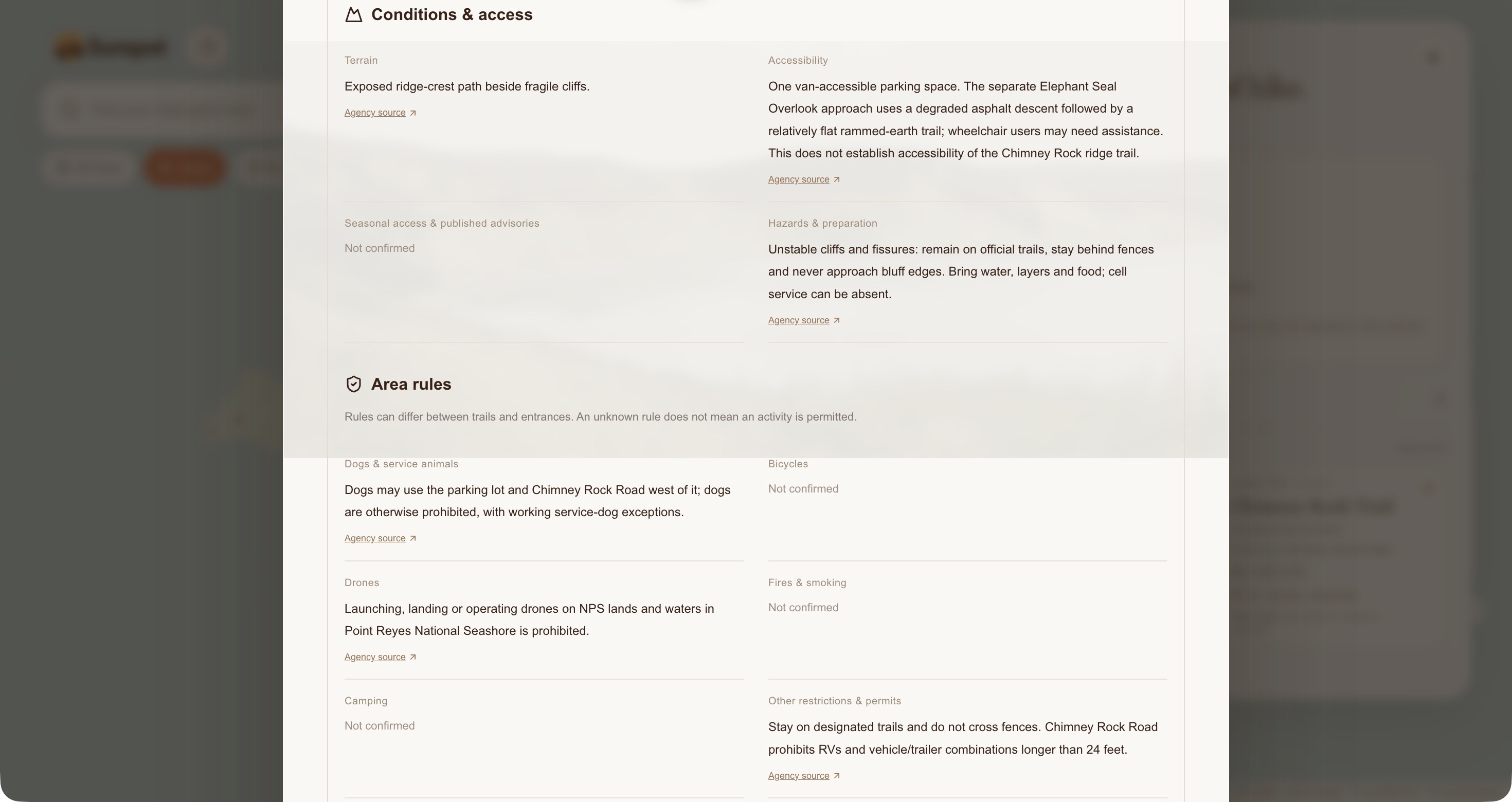
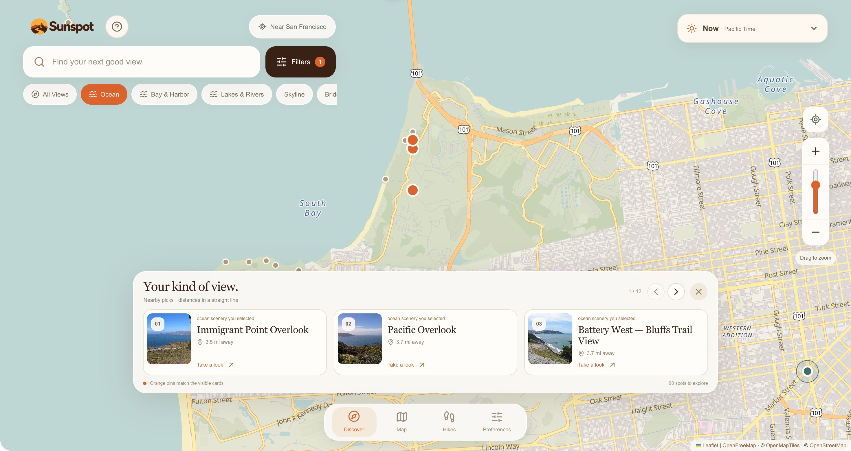
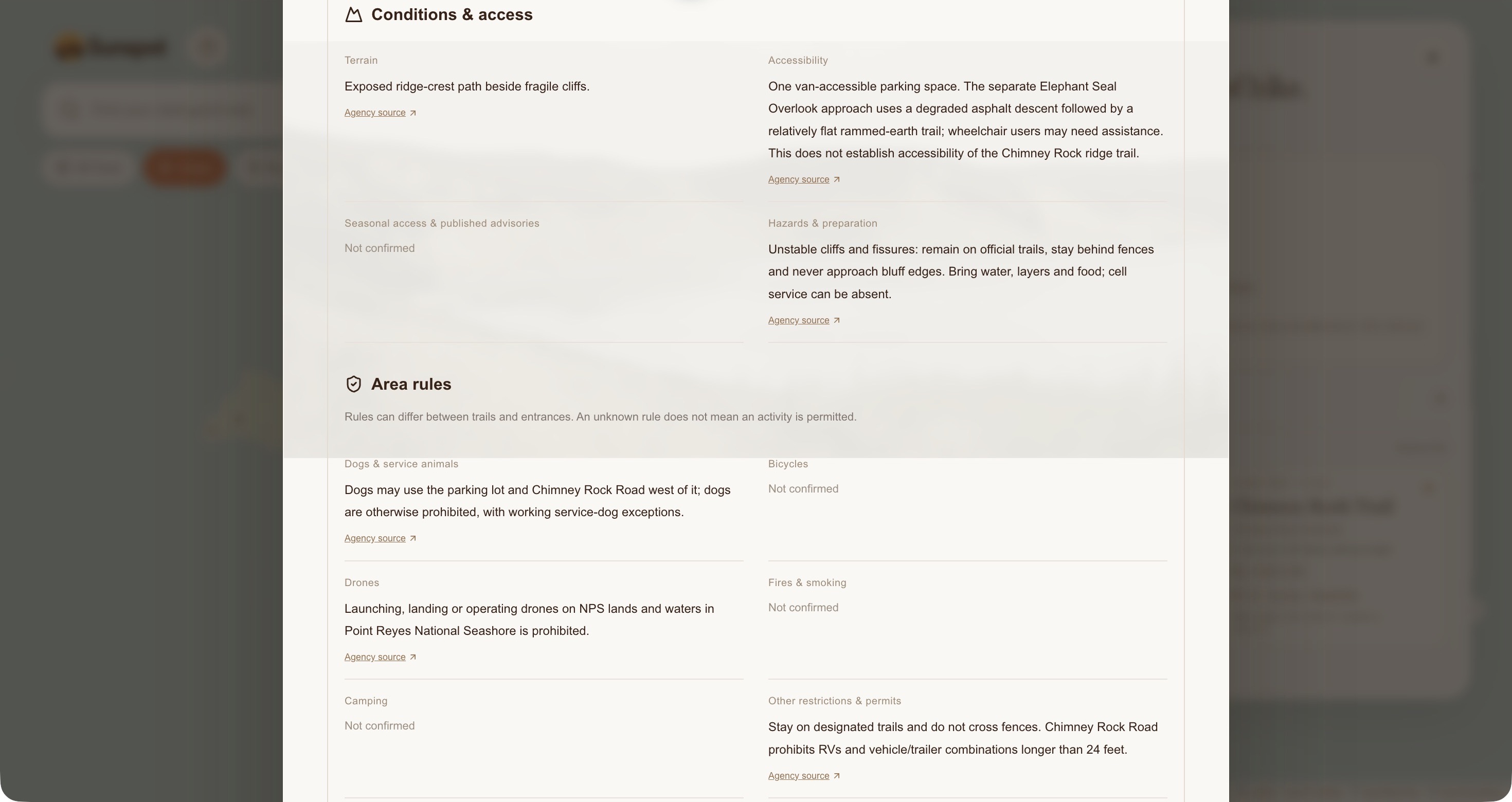
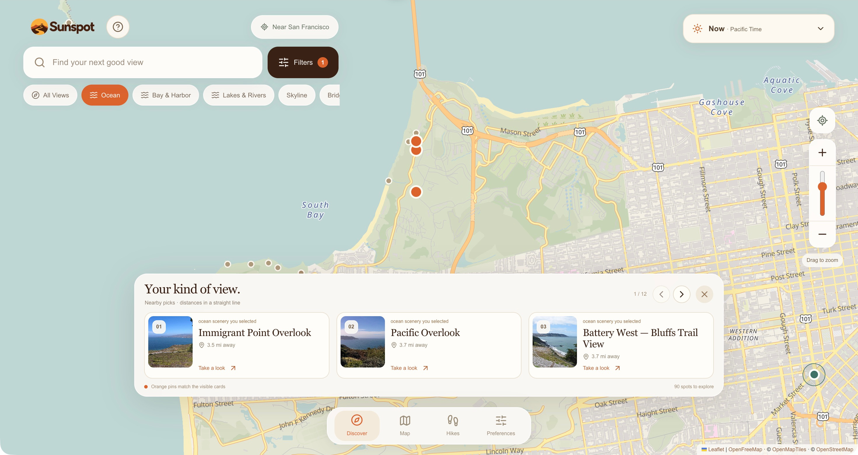
Users can explore an interactive map, browse photo previews, and filter places by scenery preferences. Selecting a viewpoint reveals available information about trails, terrain, parking, hours, rules, and accessibility, with links to Google Maps and Apple Maps.
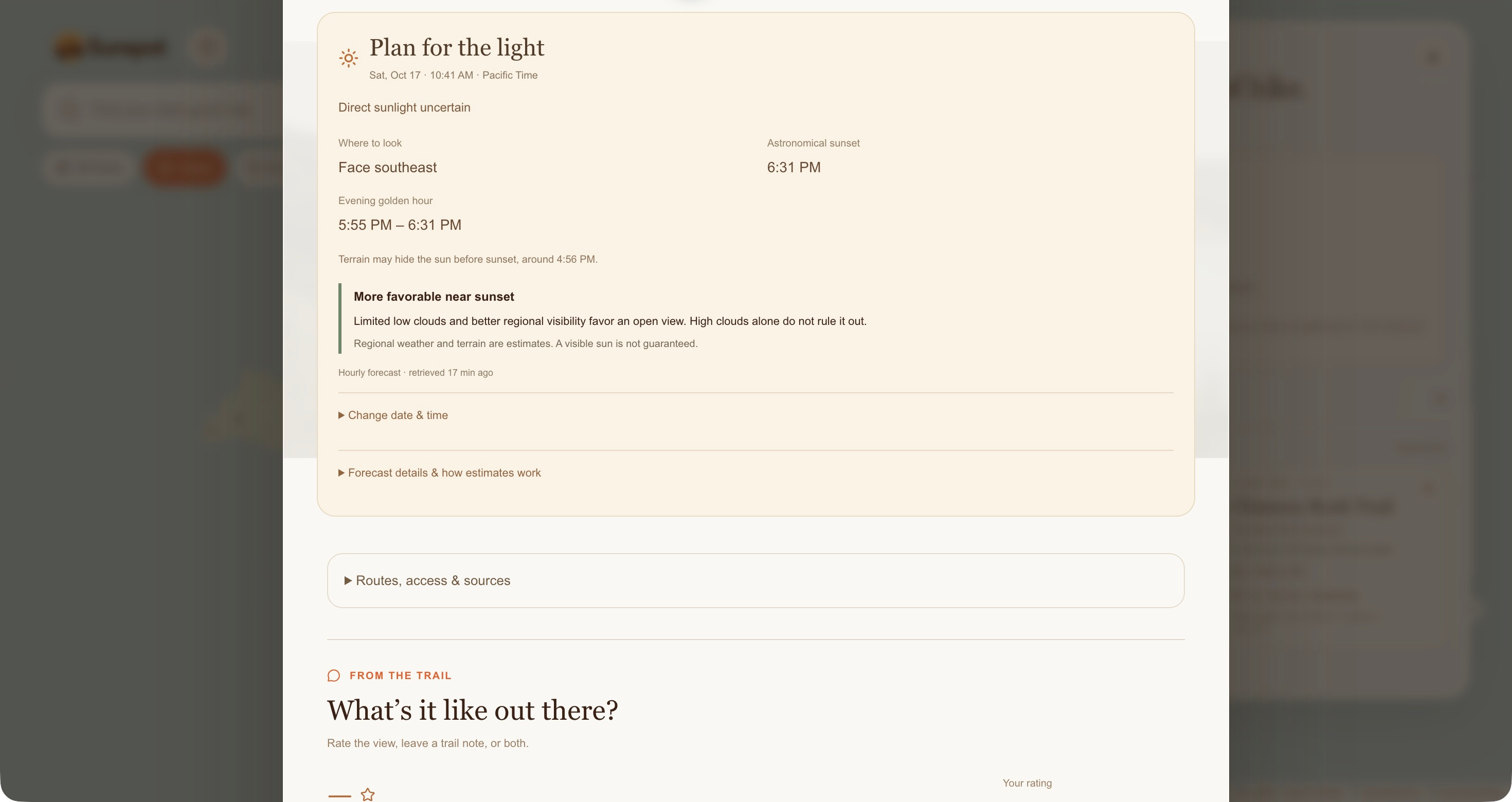
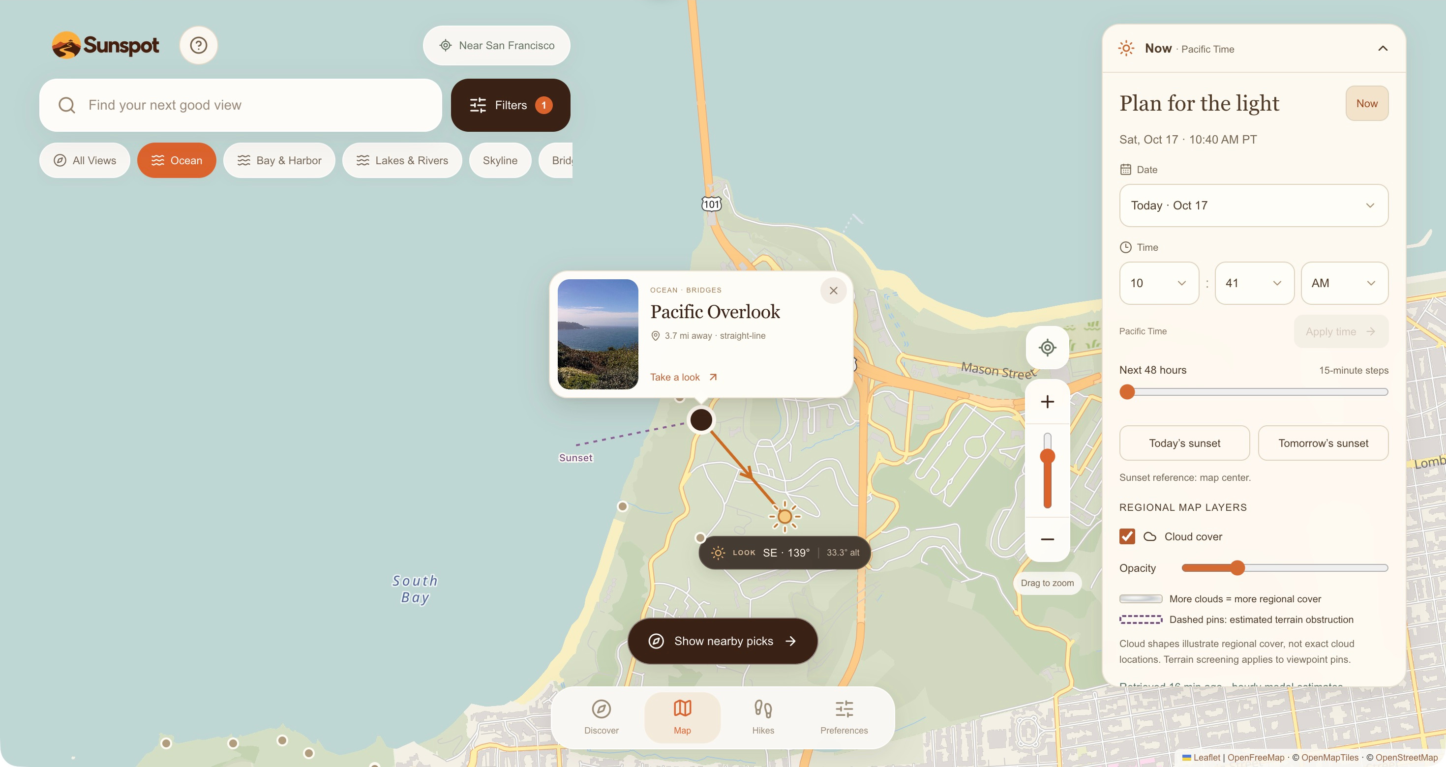
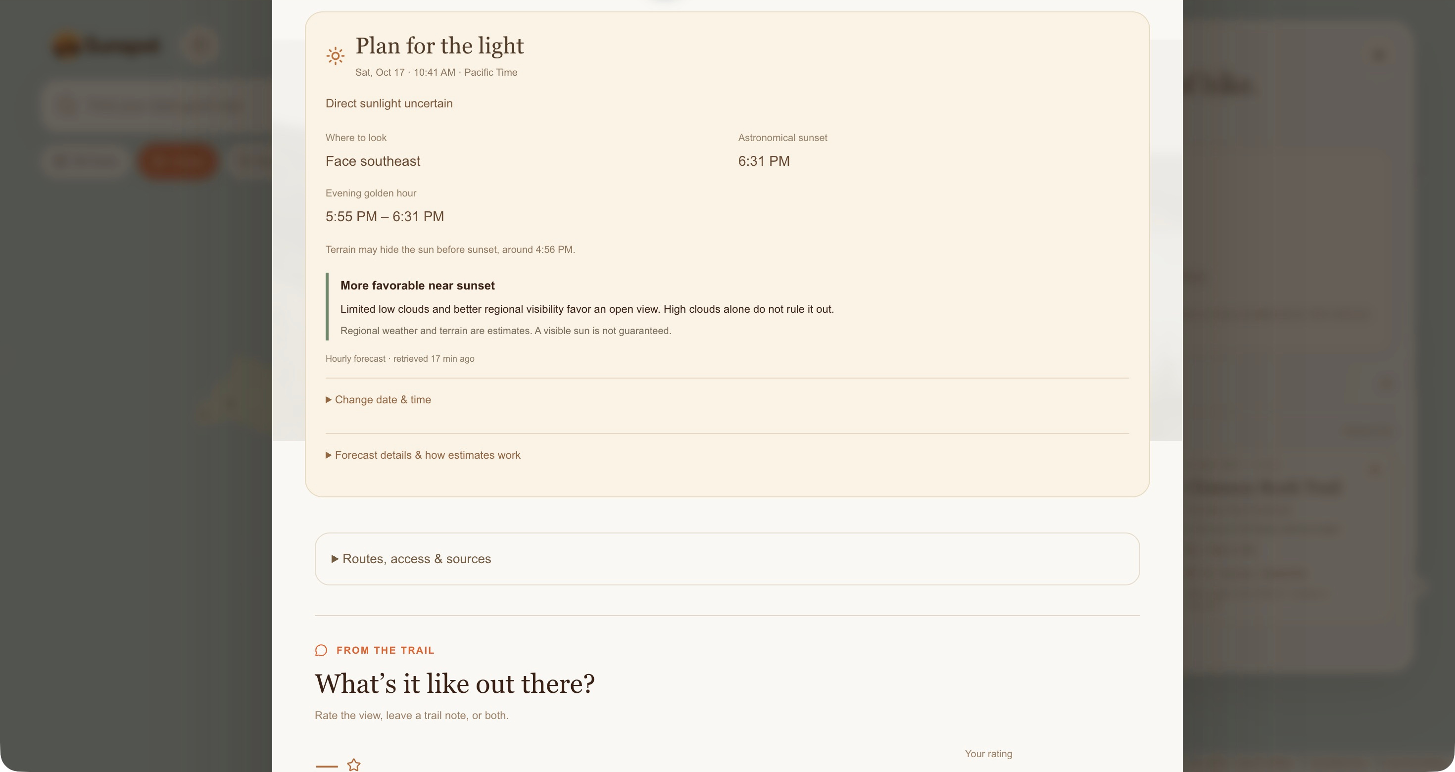
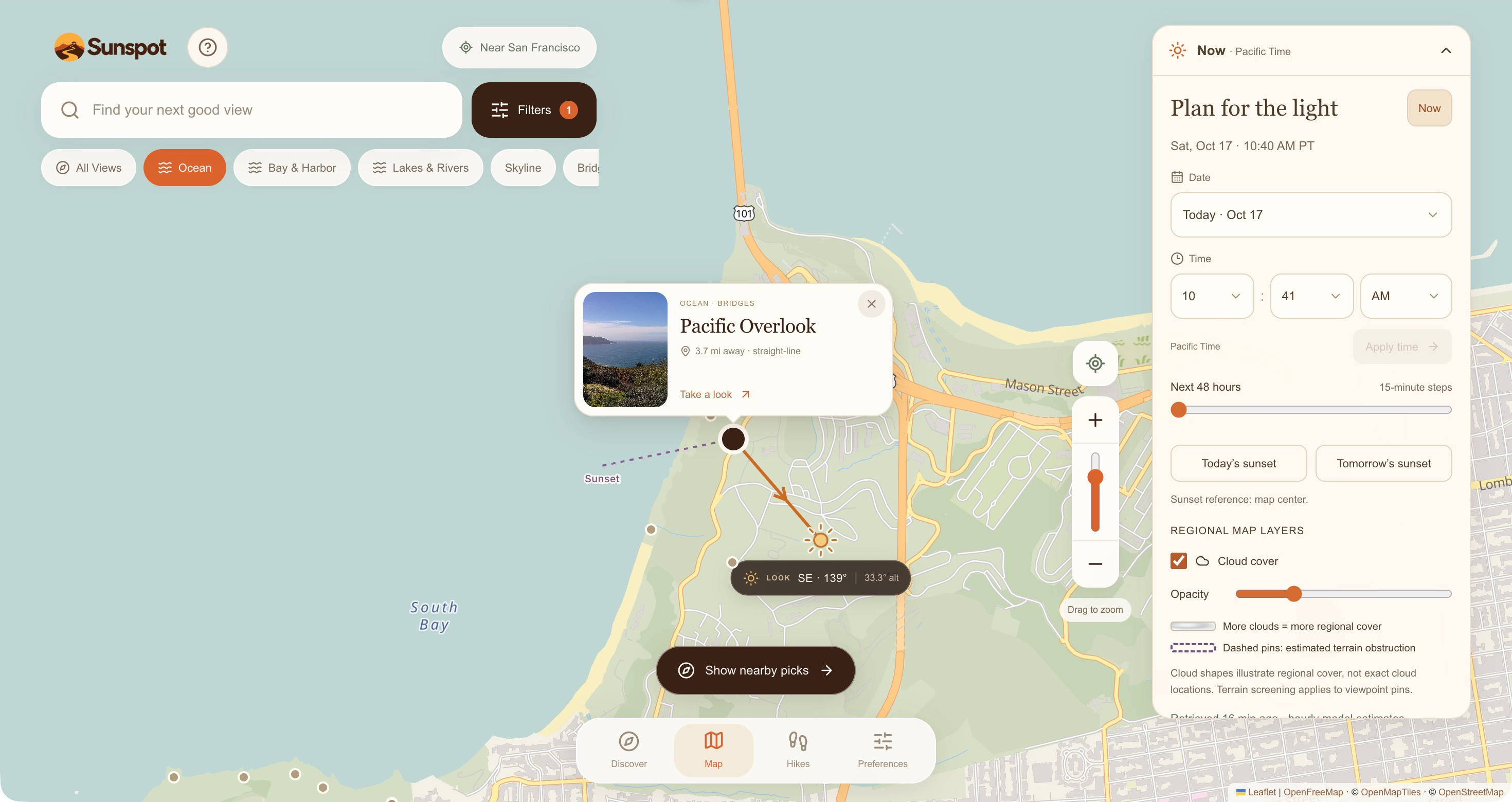
The sun indicator shows which direction to face. A planner combines sun position, sunset times, regional cloud forecasts, and terrain estimates where coverage is available. Users can choose a time within the next 48 hours.
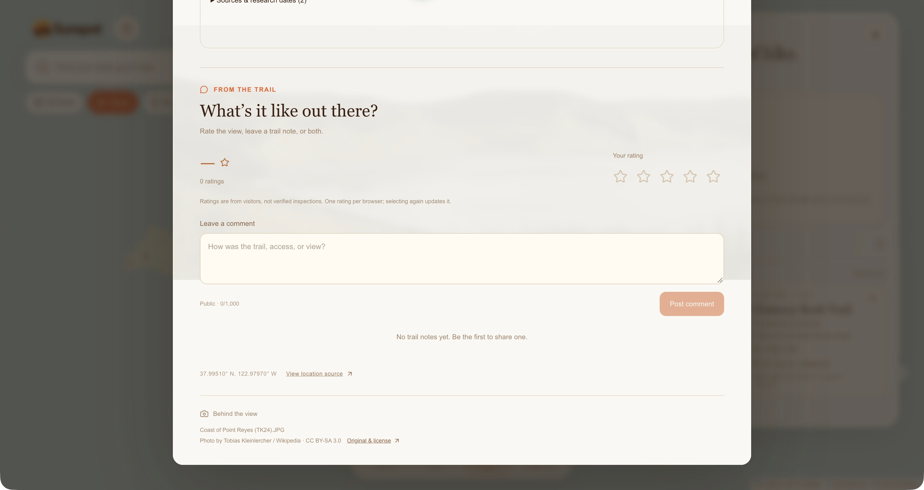
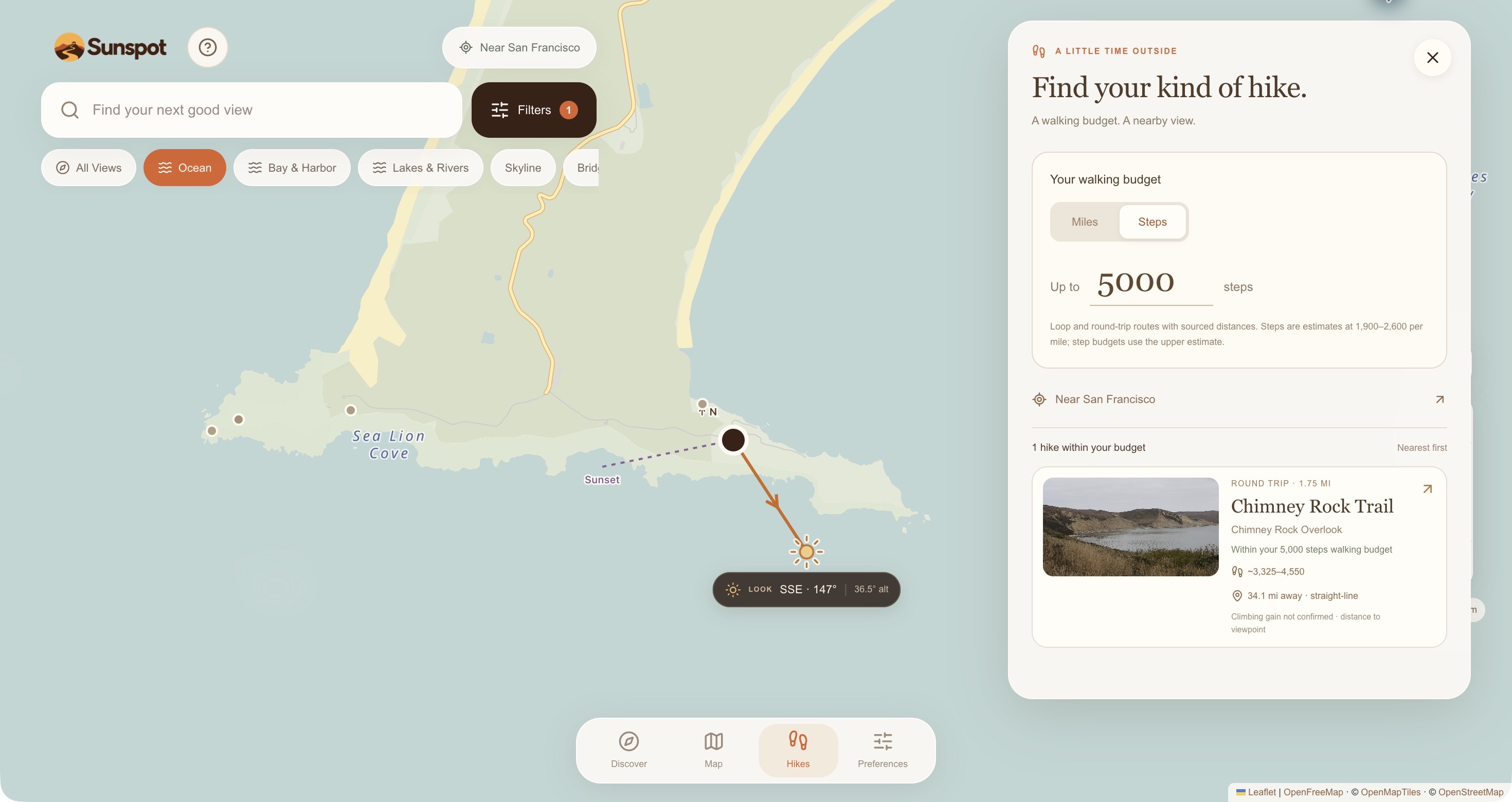
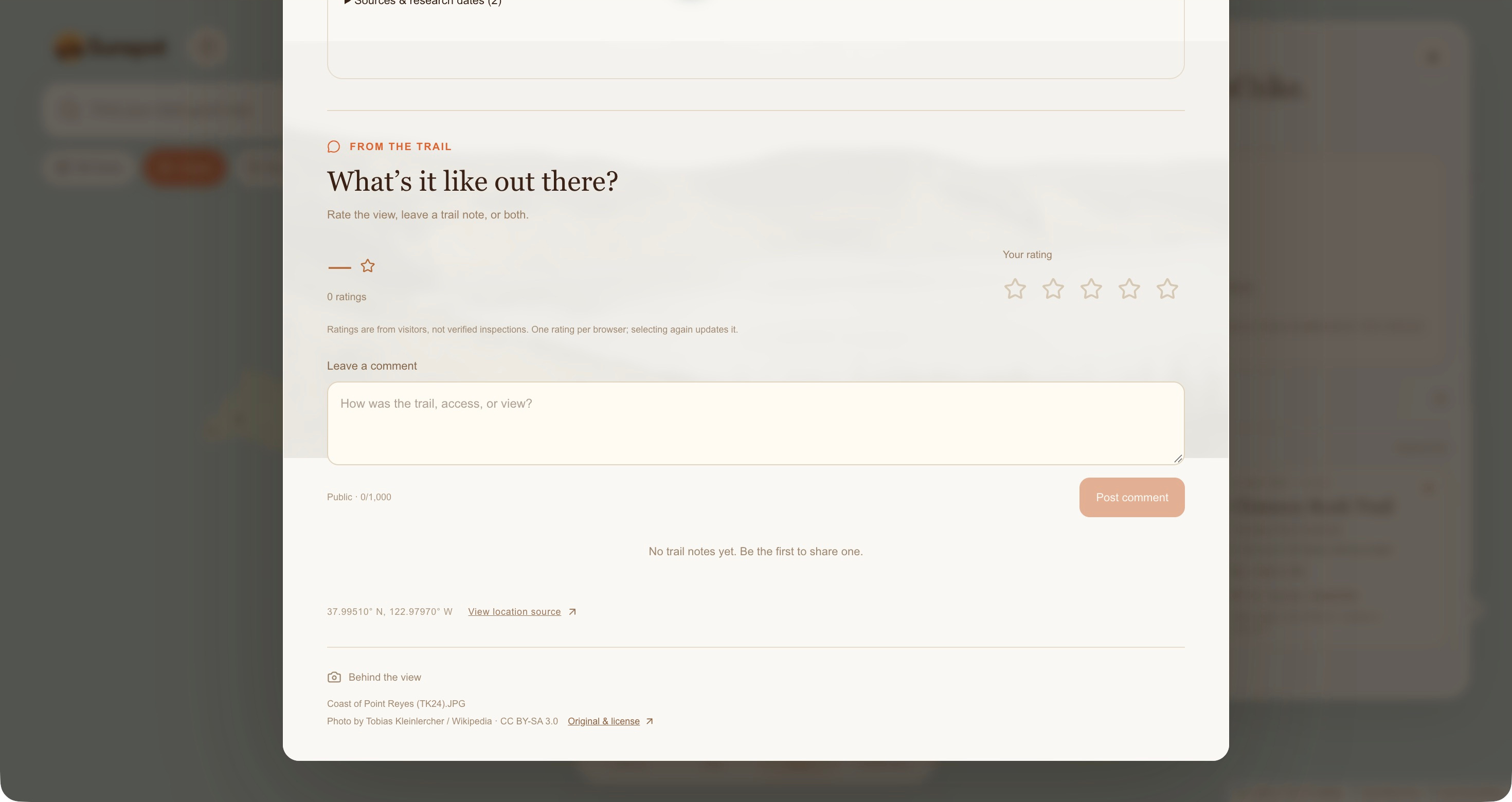
The Hikes section matches documented routes to a walking distance or step budget. Visitors can also leave comments and ratings.
Sunspot works on desktop and mobile and can be installed from the browser.
How we built it
We built the interface with React and TypeScript using Vite/Vinext, with interactive mapping and an installable progressive web app experience.
SunCalc provides astronomical calculations, Open-Meteo supplies regional weather forecasts, and USGS elevation data supports precomputed terrain horizon estimates. Cloudflare D1 stores community comments and ratings.
We assembled a Northern California viewpoint catalog from mapped locations and agency research, reviewed scenery classifications, and recorded photo sources and licenses. Places without a qualifying preview photo were excluded.
We used AI-assisted development alongside code review, automated tests, and visual checks throughout the build.
Challenges we ran into
Bringing information together was harder than simply putting pins on a map. A location’s name does not reliably describe its scenery, a park’s hours may differ from its gates, and a short route is not necessarily accessible.
We also had to distinguish astronomical sunset from when surrounding terrain might hide the sun. Weather and terrain estimates needed clear limitations rather than promises.
On the interface side, we worked through map rendering, location permissions, time selection, and transitions so that exploring different places felt consistent.
Accomplishments that we're proud of
We brought 516 photo-backed viewpoints into one experience, covering many viewpoints in northern California.
We connected discovery with practical planning: users can find somewhere interesting, preview it, understand available visit details, and open directions without repeating the research process across multiple sites.
What we learned
Useful outdoor software needs more than attractive recommendations. People need enough trustworthy information to decide whether a trip fits their time, energy, and interests.
We learned to separate sourced facts, calculated estimates, and missing information. We also learned that clear interactions and a few well-connected tools can be more useful than a crowded collection of features.
What's next for Sunspot
We want to deepen existing visitor guides, field-check more locations and terrain estimates, and expand into Southern California, as well as the rest of the United States.
We also plan to improve community moderation and explore offline access to saved visit information.
Our next step is testing Sunspot with people planning real outings: can they confidently choose a new place with fewer searches, and does that help them get outside more often?
Built With
- cloudflare-d1
- cloudflare-workers
- leaflet.js
- maplibre
- open-meteo
- pwa
- react
- suncalc
- typescript
- usgs-3dep
- vinext
- vite

Log in or sign up for Devpost to join the conversation.