-
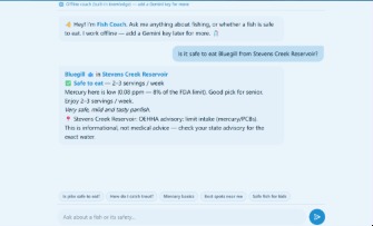
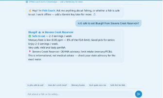
AI coach(Gemini powered)
-
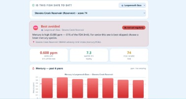
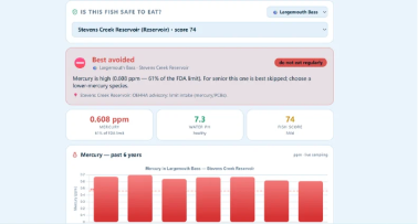
Stats(Mercury and pH)
-
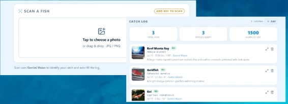
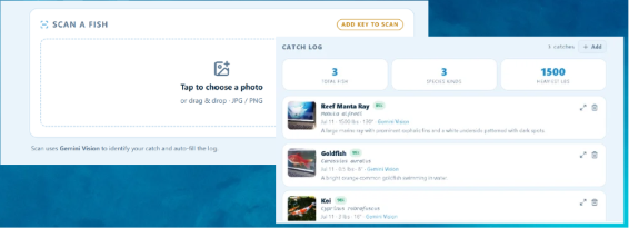
Scan and Log fishes with AI
-
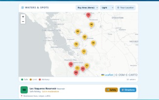
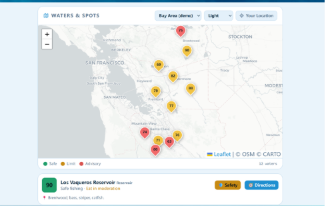
Locations Map
-
Logo
Inspiration
A lot of the people we know who fish, regularly get ill and suffer, which made us research about the gold rush and discover about mercury content. Also how new fishers we witnessed suffer to not only track mercury level but maintain their catching spots and track the fishes they caught
What it does
Shows a lot of fishing spots with rankings which represent safety levels, for people who want to learn more they can see the pH and mercury levels in that are that led to the rating and be aware after that they can direct to the website by clicking a button and we connected it to google maps which shows exact directions to the coordinates. After catching a fish you can scan it and see which species it is, how much it weighs, how long it is and add it to your log. In the log you can see if it is safe or not and also inquire to the AI coach about your finds and advices.
How we built it
HTML, CSS, JavaScript and a little Python
Challenges we ran into
Connecting to google maps(Co-ordinate receiving), And Gemini API connection
Accomplishments that we're proud of
Connecting Gemini, live map
What we learned
API integration without key destruction, JavaScript Libraries(Leaflet.js etc.)
What's next for Sunken.ai
Make a functional app version and also in the future connect the data after making it more advanced and work with a boat company to make self powered boats(Solar and wind) with automated hooks and data to catch the correct fish with online orders( The Waymo of boats). But for the near future it is making our own database instead of Gemini so we can have full access of it.

Log in or sign up for Devpost to join the conversation.