-
-
Starter Page
-
AI Analysis - ElevenLabs and Gemini
-
Equity and Ethics
Inspiration
Cities collect infrastructure data, but repair decisions are often reactive and inequitable. We wanted to help cities prioritize repairs transparently, focusing on where failure causes the greatest harm to residents.
What it does
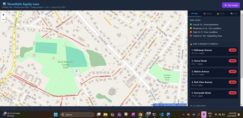
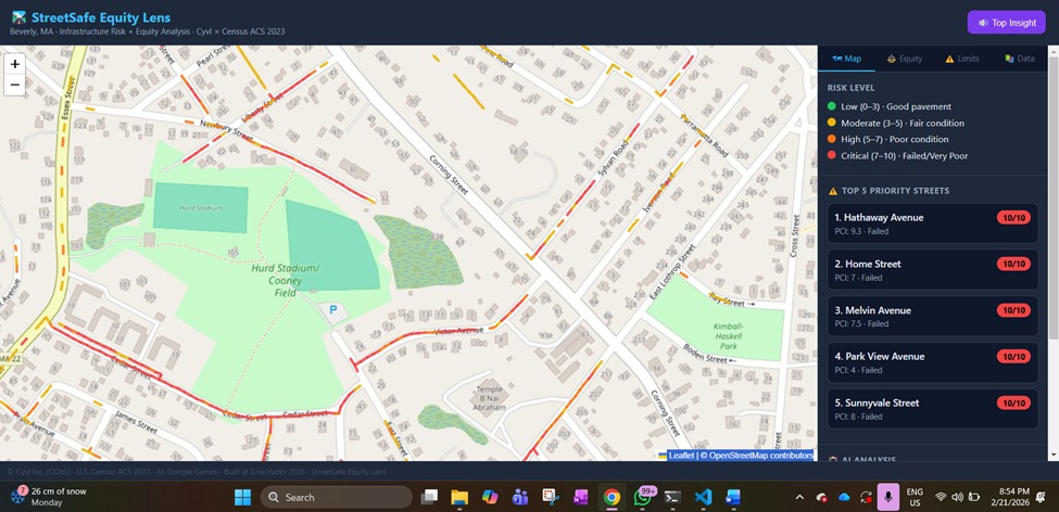
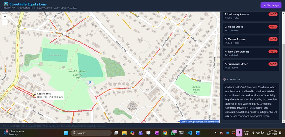
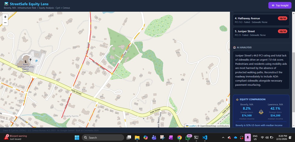
StreetSafe – Equity Lens ranks streets using real infrastructure condition data combined with demographic context. It helps planners identify where repairs deliver the greatest public and safety benefit.
How we built it
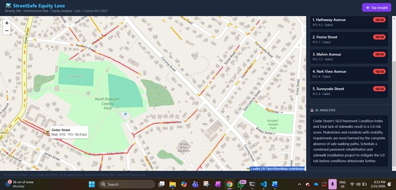
We normalized Cyvl pavement and asset data into MongoDB and computed explainable risk scores. Gemini generates plain-language explanations so decisions are transparent and auditable, not black-box outputs.
Challenges we ran into
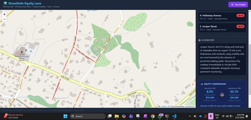
Incomplete LiDAR data required redesigning around asset inventories. We also had to carefully balance demographic insights with ethical use, avoiding biased or stigmatizing interpretations.
Accomplishments that we're proud of
We built a working, end-to-end prioritization system in hours using real municipal data. The platform produces actionable insights that city planners could realistically adopt.
What we learned
Effective civic tech requires clarity and trust as much as technical depth. Explainability, documentation, and ethical framing are essential for public-sector adoption.
What's next for StreetSafe – Equity Lens
Next steps include integrating capital planning workflows, expanding accessibility metrics, and adding public-facing transparency views so residents understand how repair decisions are made.

Log in or sign up for Devpost to join the conversation.