-
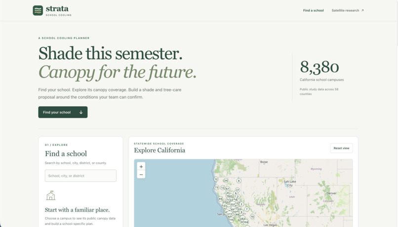
Landing Page
-
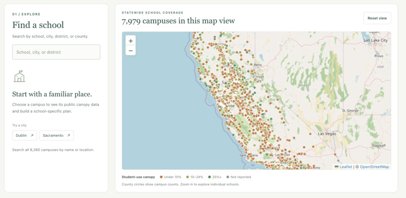
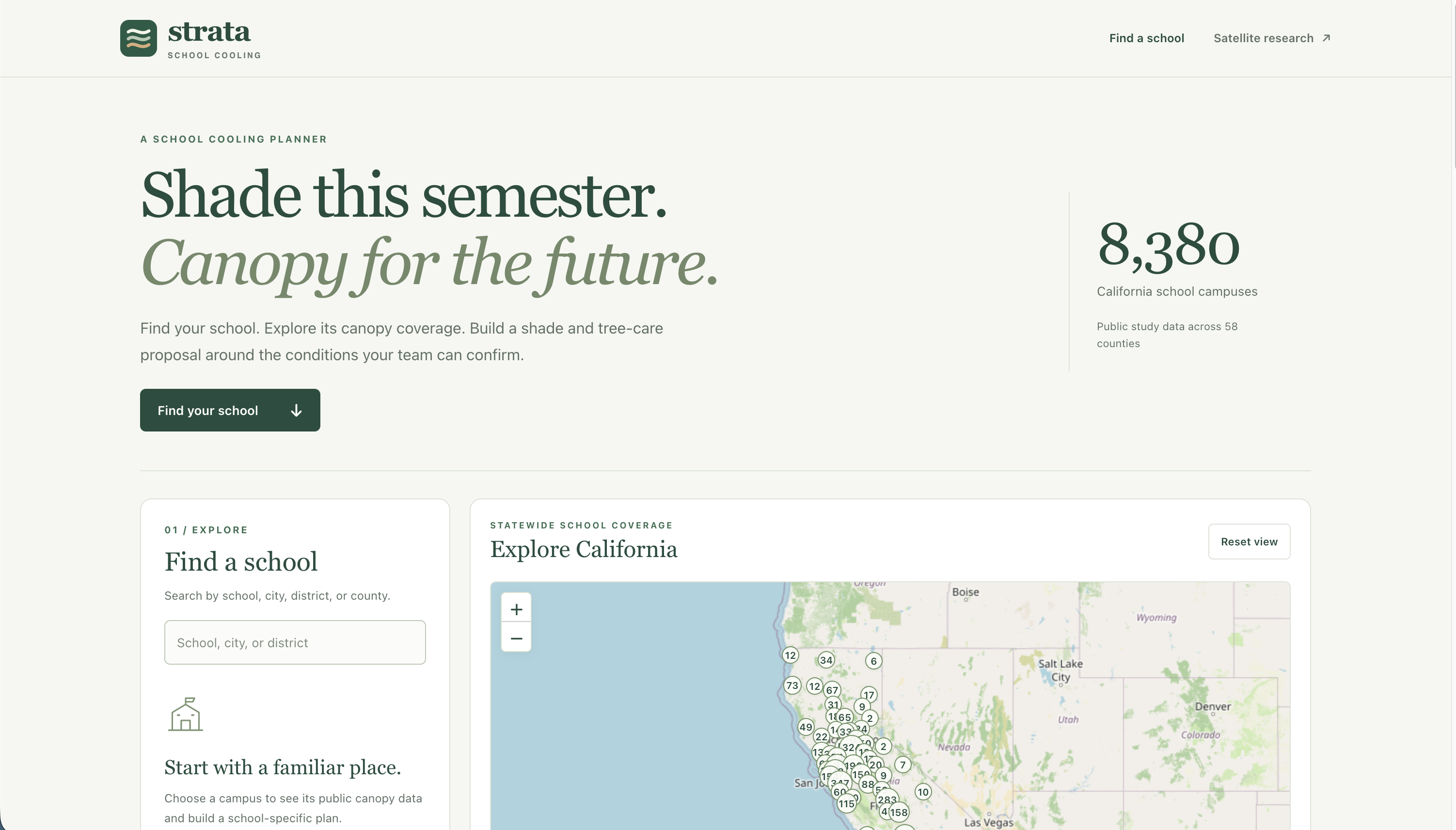
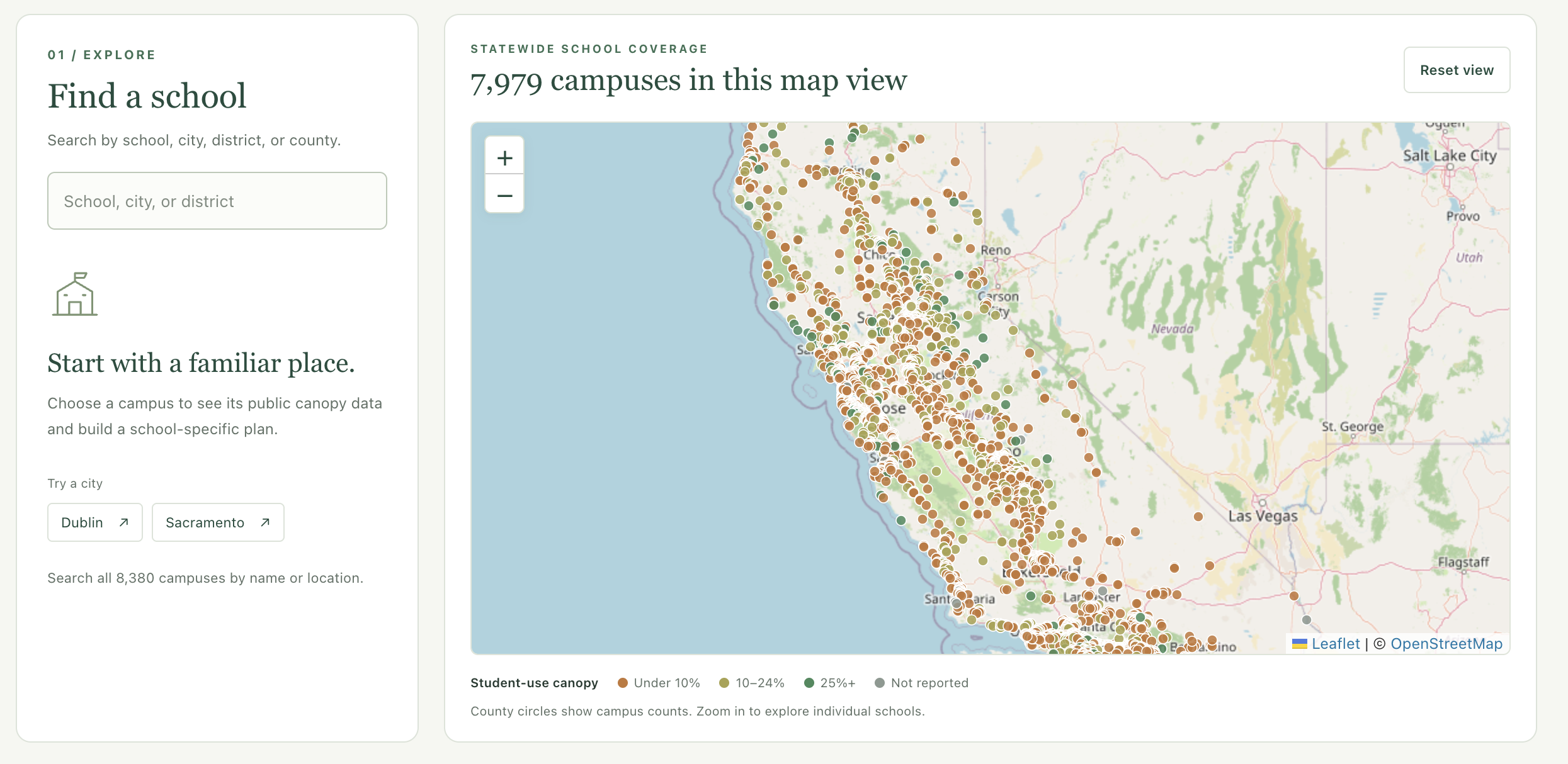
Interactive Map
-
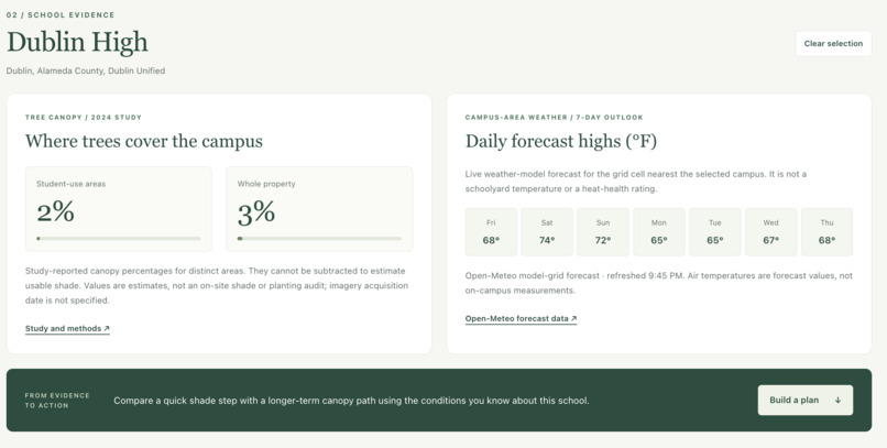
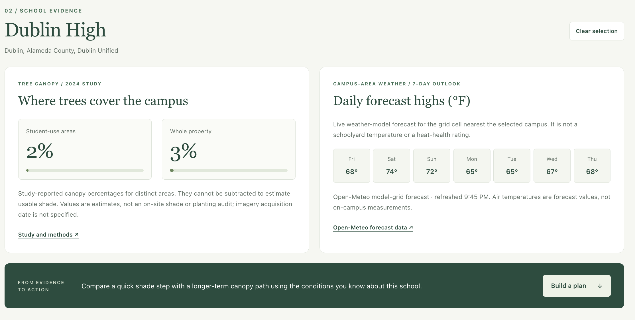
School Analysis
-
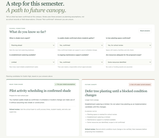
School Profile Development
-
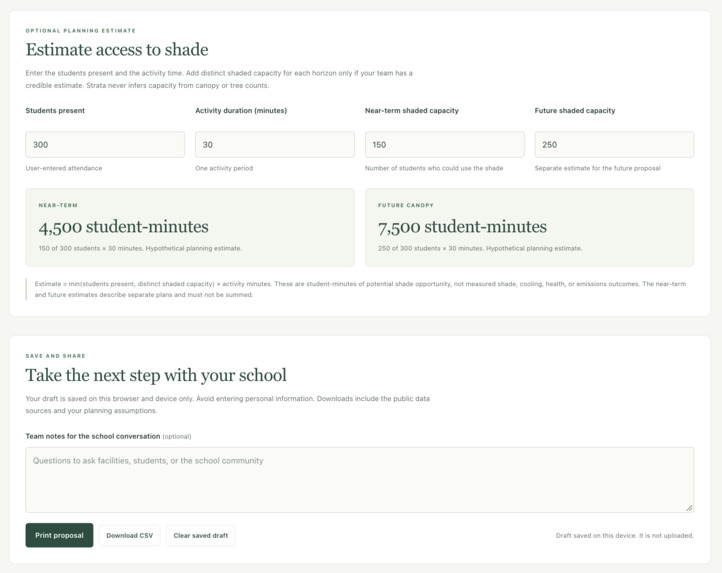
Action-Plan Creator
Inspiration
We began with a San José satellite heat study. It helped identify places to investigate, but a heat map alone couldn’t tell students where usable shade might be or whether a school could support new trees. We expanded Strata into a California-wide planner to connect climate evidence with practical school decisions.
What it does
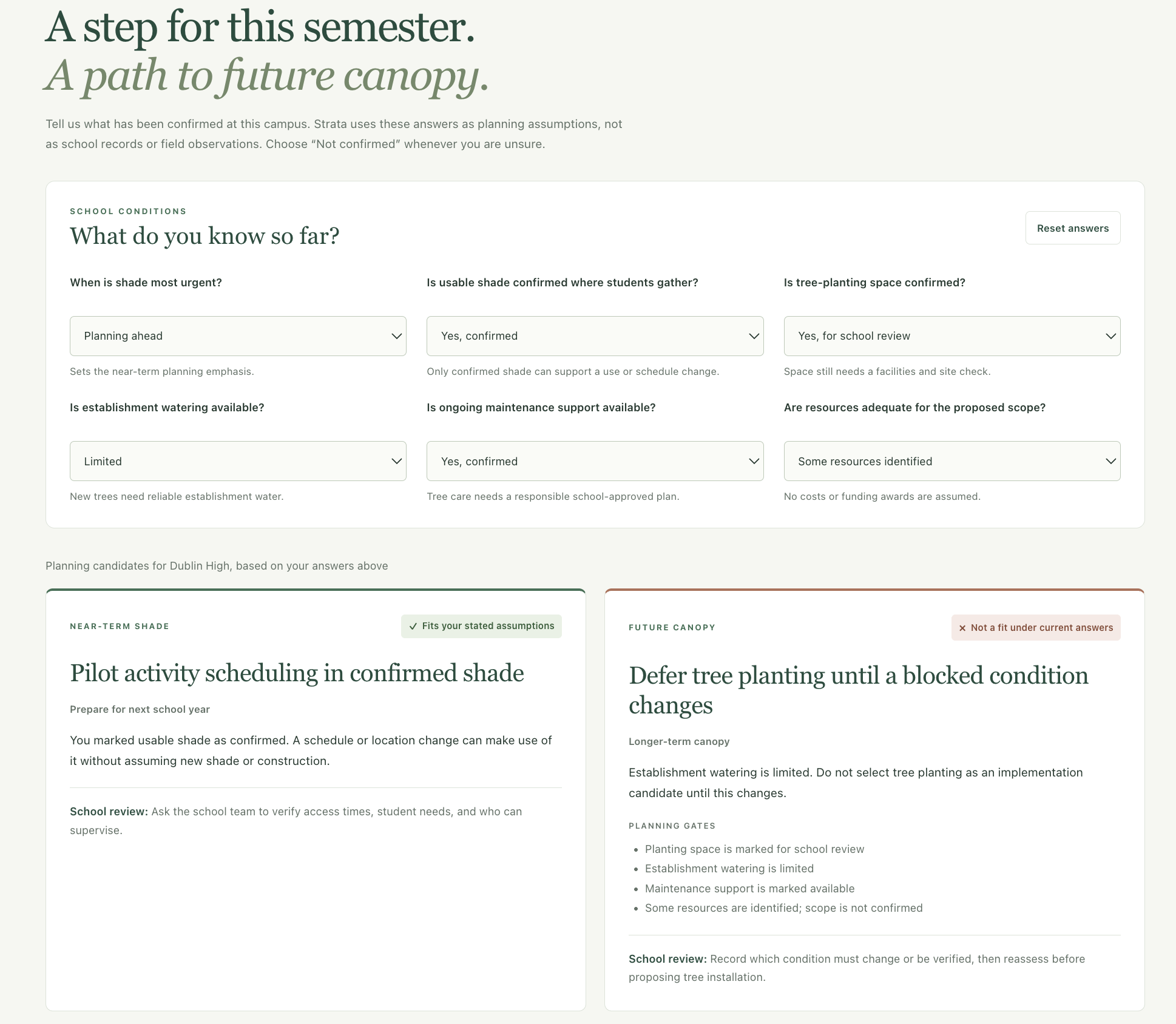
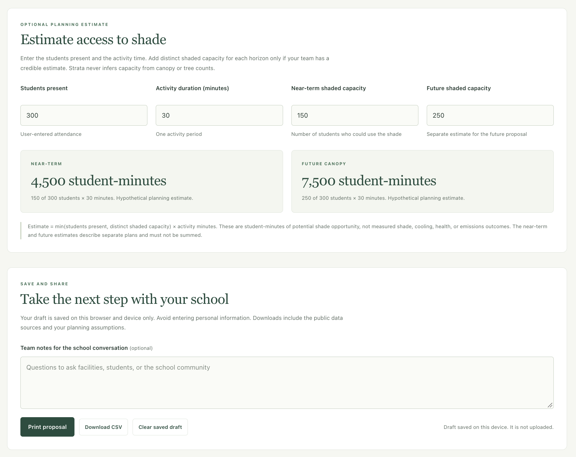
Strata lets students search 8,380 campuses across California’s 58 counties. It shows student-use-area canopy separately from whole-property canopy, then helps teams plan near-term shade and future greening around site constraints like space, water, maintenance, and resources. An optional calculator estimates hypothetical student-minutes of shade opportunity from user-entered assumptions. Teams can save drafts and export a proposal or CSV.
How we built it
We created a static web app with JavaScript, HTML, CSS, and Leaflet. A Python data-preparation script gathers and checks public campus records, and an explainable rules engine connects a team’s answers to planning steps. Drafts stay in the user’s browser; exports include sources and assumptions. We also preserved the original San José satellite research as a separate section of the project.
Challenges we ran into
The public datasets describe different things and use different dates. Canopy estimates don’t show exactly where students find shade, and the heat forecast is for a ZIP area, not a schoolyard. We also found missing-value codes in the source data that could have been mistaken for real measurements. We had to keep unknowns visible and avoid turning estimates into claims about cooling or health.
Accomplishments that we’re proud of
Strata grew from a single-city research map into a planner covering all 58 California counties. The finished app combines school search, evidence cards, constraint-aware recommendations, optional calculations, draft saving, and proposal exports. Our 25 automated tests passed, and the mobile experience and proposal PDF were reviewed.
What we learned
Good climate planning requires more than identifying a problem. It also means showing what the evidence can and cannot tell us, making assumptions explicit, and checking whether a proposed action fits the people and place involved. A canopy percentage is not the same as usable shade, and a planning estimate is not a measured environmental result.
What’s next for Strata
We want to test the planner with students and school staff, then work with a school to verify shade locations and site constraints during real activity times. That feedback can help us improve the recommendations and, with permission and appropriate measurements, assess the results of an actual shade project.


Log in or sign up for Devpost to join the conversation.