Inspiration
Inspiration for this project came from The Case For Quarter Mile Bus Stop Spacing by Alex Cecchini
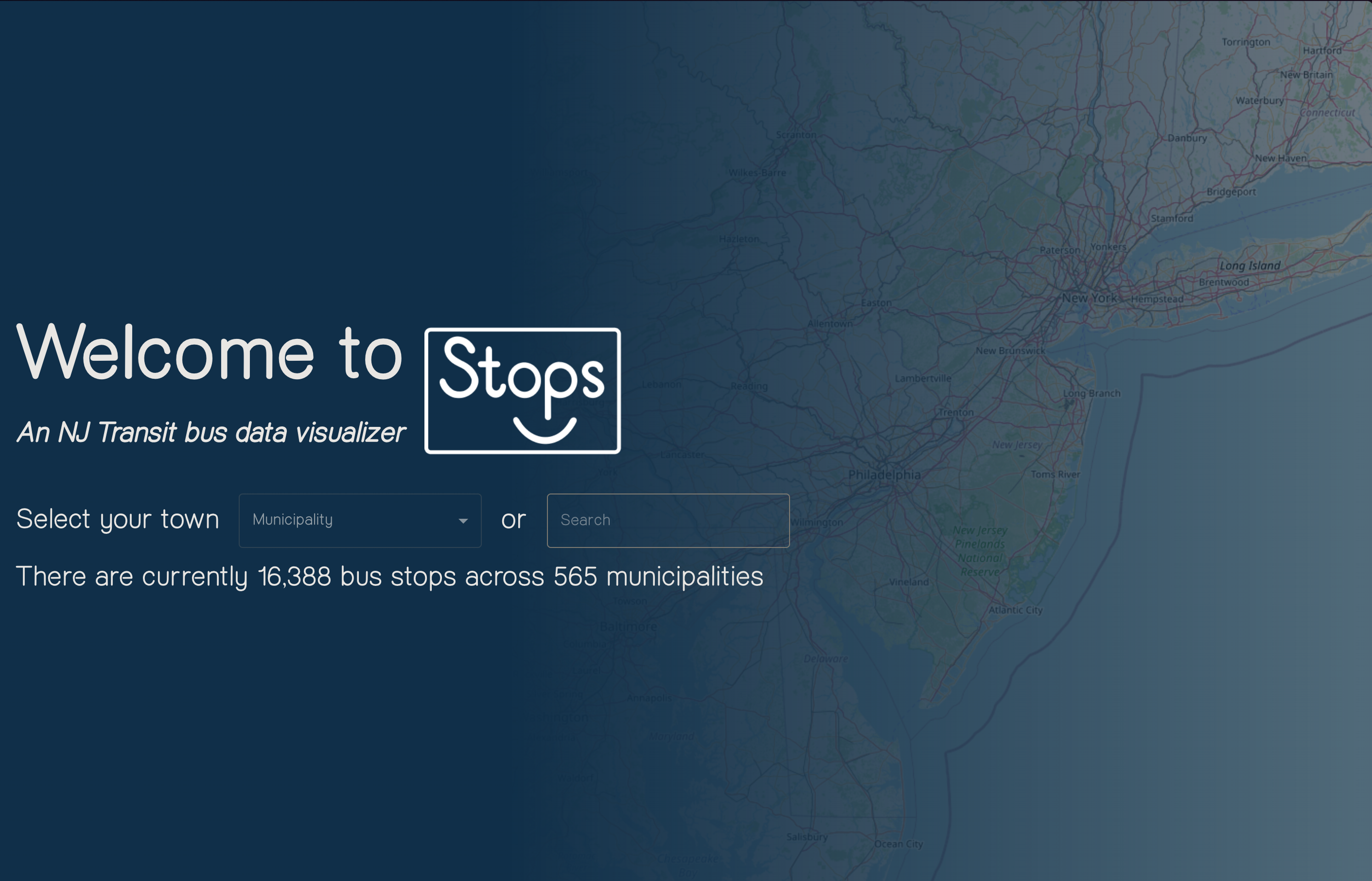
What it does
This tool maps all 16,388 (assuming you computer can render that many) bus stop across New Jersey with data pertaining to the individual stop. The purpose of this tool is to help NJ Transit route planners with improving and optimizing pre-existing and future bus routes. Default marker radii reflects the acceptable walk-shed for riders (1/4 mile or 400m) - with them enabled, the marker’s radii can be used to observe overlap between stops or bus stop dead zones within certain municipalities.
The removal of ‘redundant’ bus stops could result in redirected spending towards improving infrastructure (bus shelters, newer buses, etc...), increase route speed (less stopping), lower bus emissions (less start-stop), and overall increase in rider satisfaction.
How we built it
Typescript React, Mappa, leaflet, Tufts.js, Material UI (MUI), papaparse, styled components
Built With
- leaflet.js
- mappa
- material-ui-(mui)
- papaparse
- styled-components
- tufts.js
- typescript-react

Log in or sign up for Devpost to join the conversation.