
Stellaris: Global Disaster Risk Analyser and Map
Inspiration
With the increasing frequency and severity of natural disasters around the world, there is a critical need for intelligent systems that can help predict, visualise, and manage disaster risks. Stellaris was born from the idea of leveraging machine learning and modern deployment tools to build a scalable platform that provides actionable insights for disaster preparedness and mitigation.
What it does
Stellaris is a comprehensive machine learning platform that:
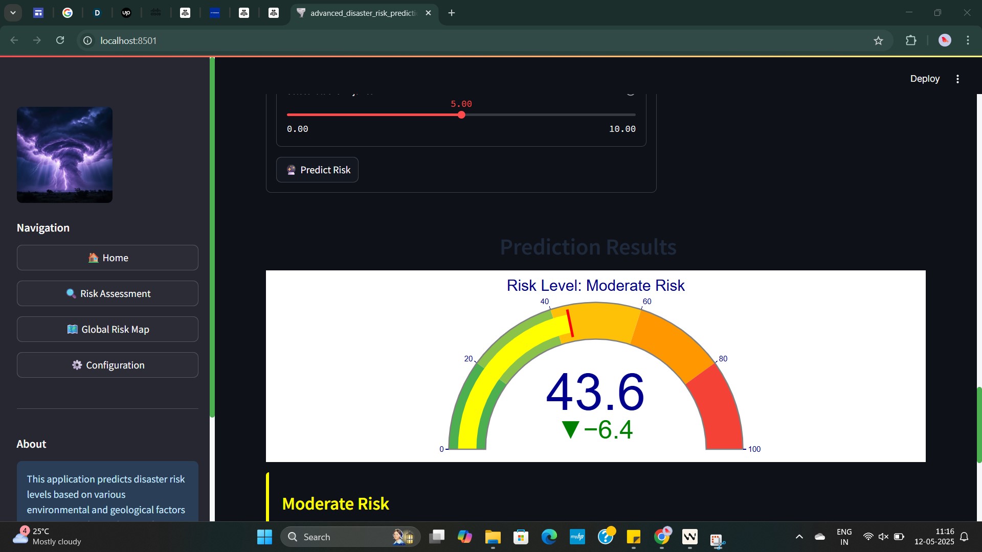
- Predicts disaster risks using a neural network trained on multi-source global disaster data.
- Loads and serves predictions via
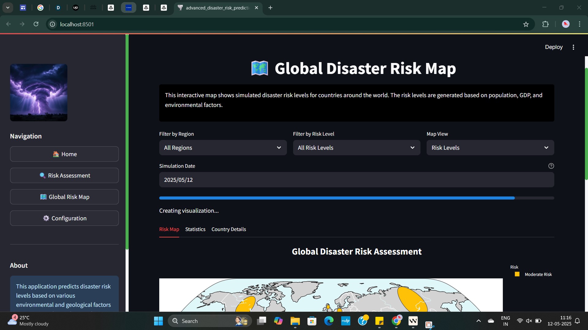
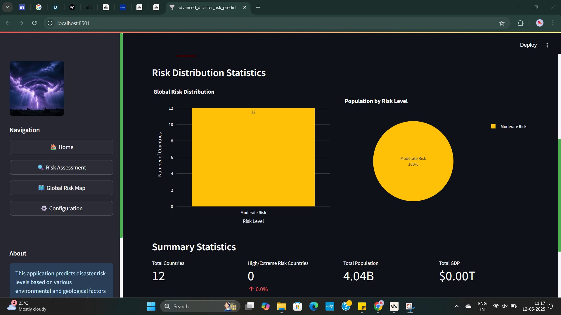
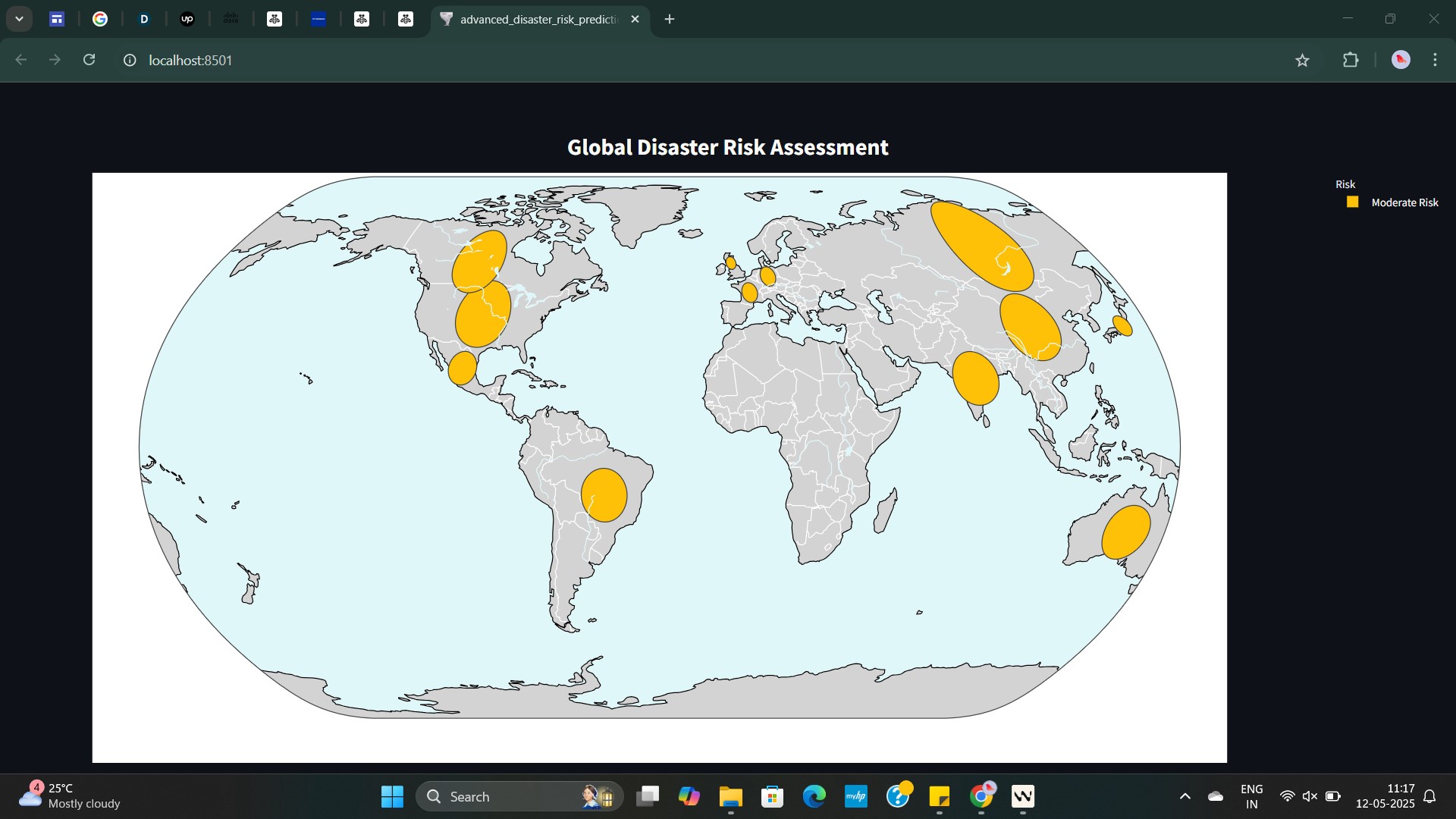
predictor.py,model_unpickler.pyandmodel_loader.py. - Visualises high-risk zones on an interactive global map using GeoPandas.
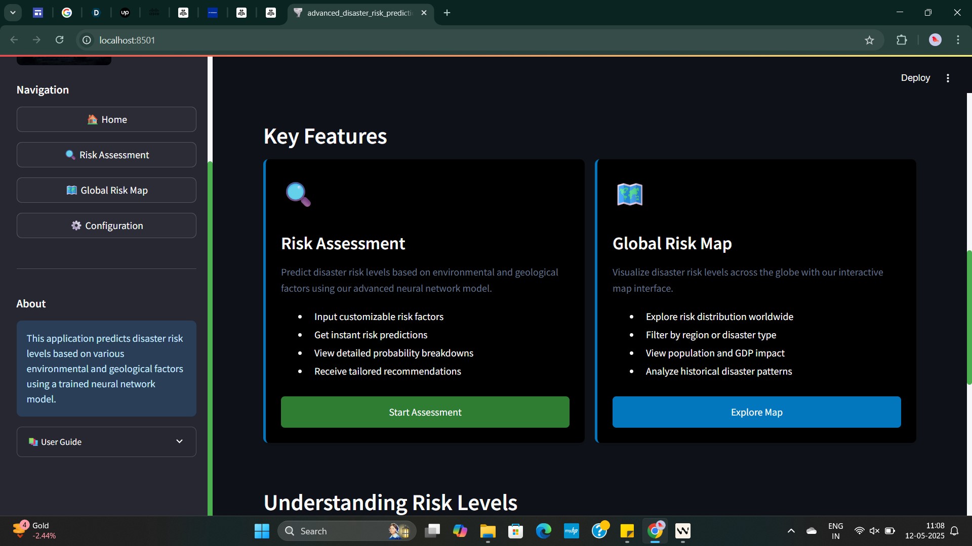
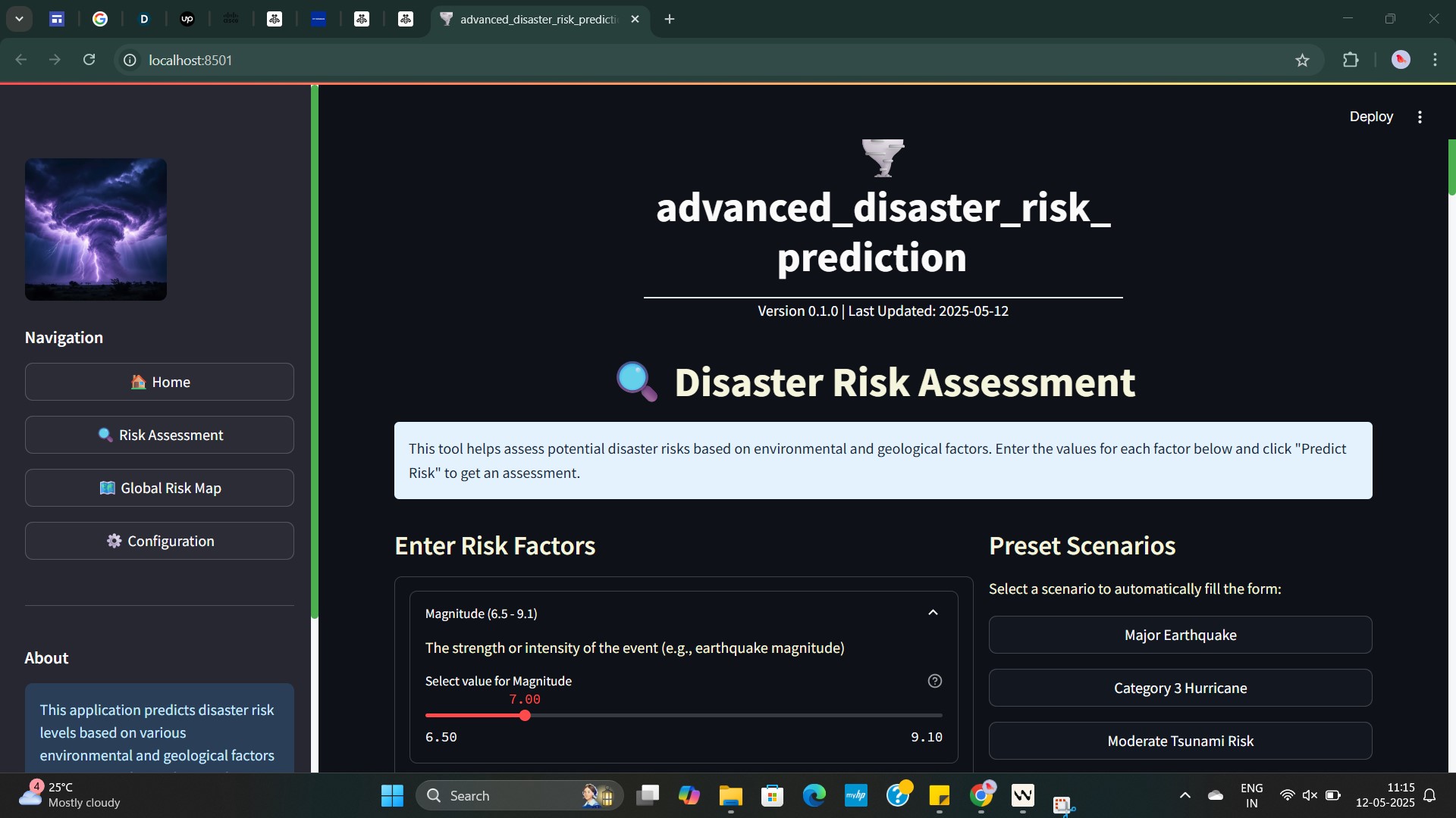
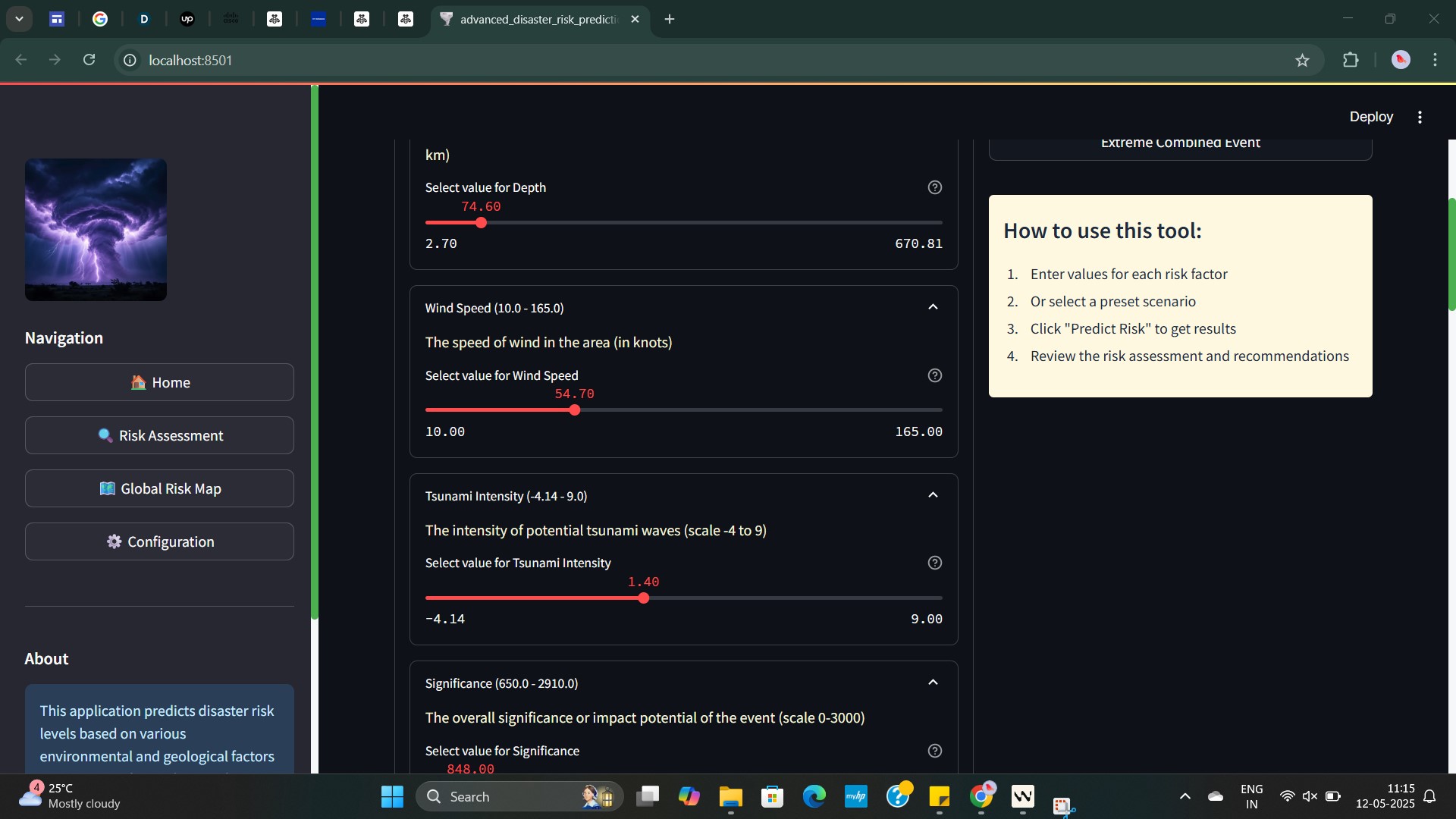
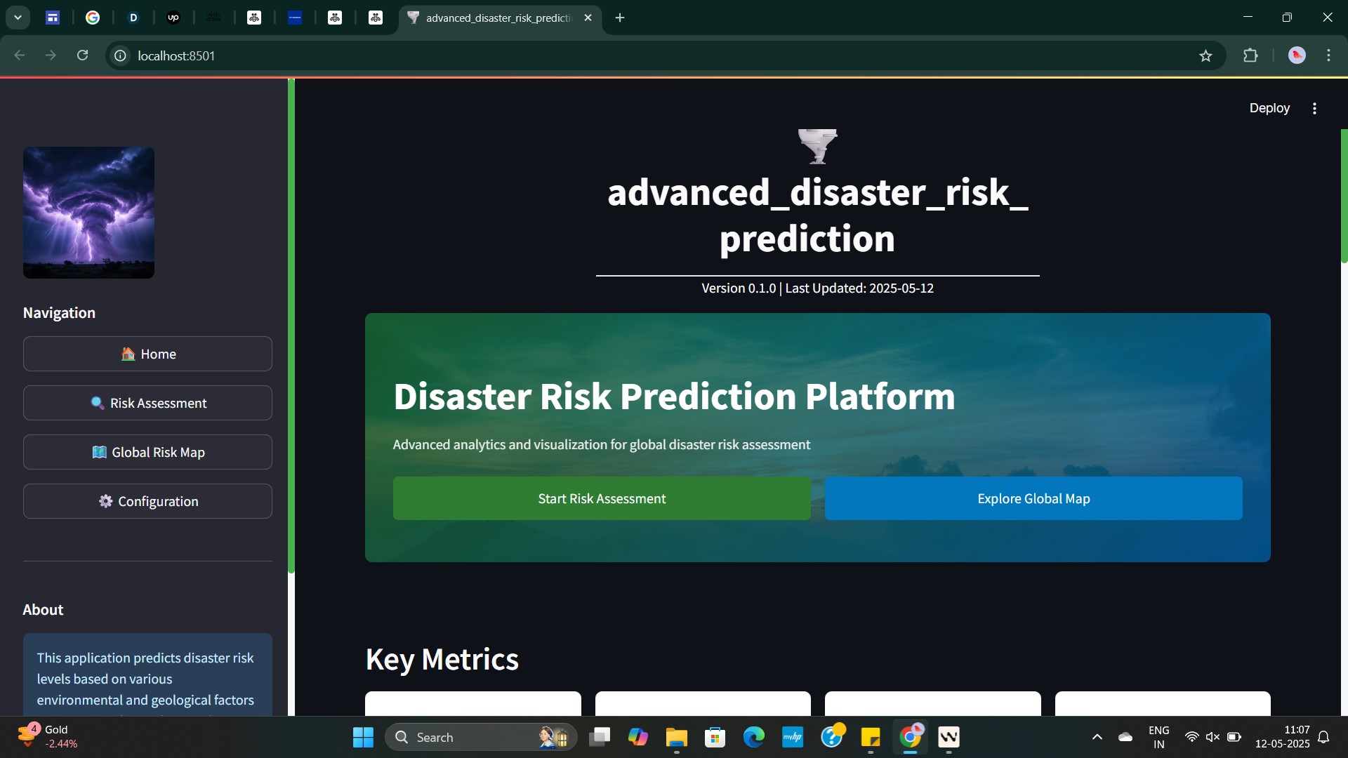
- Provides an intuitive Streamlit-based dashboard for user interaction and exploration.
- Automates scheduled tasks such as model updates using Python’s
schedulelibrary. - Runs inside a Docker container and is orchestrated with Kubernetes for scalability and reliability.
How we built it
- Data: Integrated and processed 7 CSV files covering over 6 types of disasters, including floods, earthquakes, tsunamis, and forest fires.
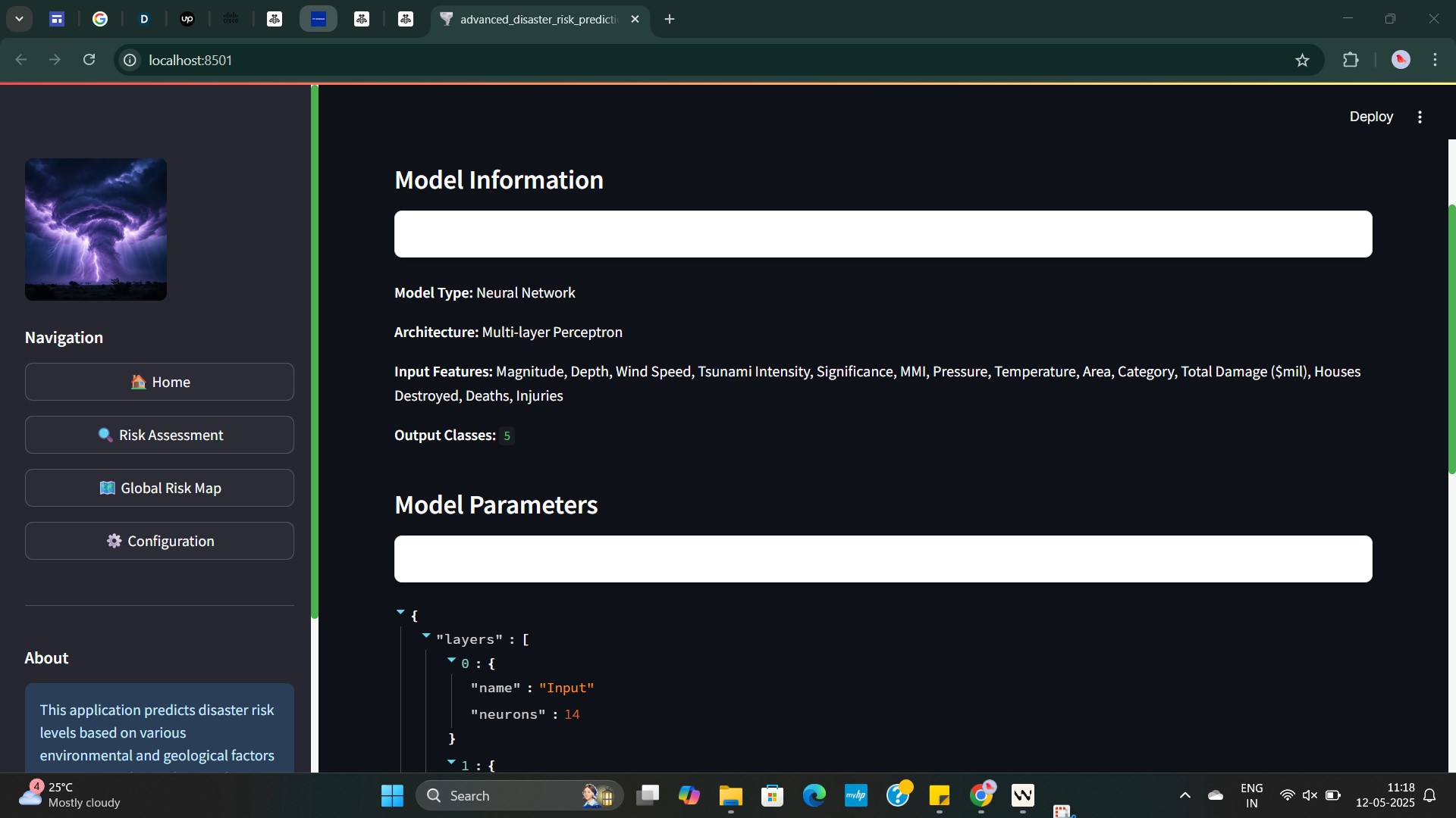
- Model: Built a neural network model using PyTorch to predict disaster risk levels based on historical and geographical features.
- Prediction Pipeline: Implemented
predictor.pyandpickle_loader.pyto handle model inference and loading of serialised model objects. - Frontend: Developed a Streamlit dashboard for interacting with prediction outputs and viewing dynamic maps.
- Mapping: Used GeoPandas to render a global risk map highlighting vulnerable regions.
- Workflow: Employed the
schedulelibrary in Python to automate model retraining and log updates at defined intervals. - Deployment: Containerised the application using Docker Desktop and managed deployment with Kubernetes to ensure reliability and scalability.
Challenges we ran into
- Integrating heterogeneous data sources with varying formats and missing values.
- Designing a generalisable model architecture that performs well across multiple disaster types.
- Efficiently rendering high-resolution geospatial data in a responsive web interface.
- Coordinating multiple layers—prediction scripts, frontend dashboard, and deployment tools.
Accomplishments that we're proud of
- Successfully deployed a fully containerised ML application using Docker and Kubernetes.
- Built a complete pipeline from data ingestion and model inference to interactive visualisation.
- Created a user-friendly and informative dashboard for disaster risk awareness.
- Developed a modular and maintainable architecture ready for future enhancements.
What we learned
- Effective use of PyTorch for structured data modelling in a real-world context.
- Practical deployment strategies using Docker and Kubernetes.
- Geospatial data handling and visualisation with GeoPandas.
- Scheduling and automation with Python’s built-in libraries.
What's next for Stellaris
- Integrate real-time data streams such as satellite imagery and live weather data.
- Extend the neural network to include temporal patterns using LSTM or GRU architectures.
- Add user authentication and role-based access control for secure dashboard use.
- Incorporate simulation tools to assist in disaster response and contingency planning.
Built With
- docker
- geopandas
- kubernetes
- neural-networks
- python
- streamlit
- torch

Log in or sign up for Devpost to join the conversation.