Inspiration
Many, if not all, users are not aware of crime that is happening in real time around their area (unless witnesses post on social media. Even so, user-based reporting are not always correct). Police reports are updates monthly or bi-weekly.
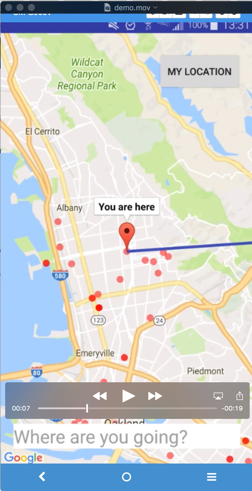
Google Maps works well for cars, but not necessarily for walking purposes – we will attempt to resolve this issue by suggesting the safest and shortest path to walk.
What it does
An Android Mobile Navigation App for pedestrians – tourists, college students, children, parents – everyone! Using our crawled crime data, we will attempt to suggest the safest path you should walk in to your destination.
Real-time Crime Visualizer - this app will visualize where crime is happening around the world (near real-time) from collecting and analyzing news sources around the world
How we built it
We created a unique method of crime data crawling from public news media sources versus standard police report data, and used natural language processing libraries to parse free texts, machine learning to classify types of crime along with statistical methods to produce "safest path" suggestion for pedestrians. Transformed crawled and parsed data into coordinates and mapped onto Google Maps, and eventually created a safety-prevention Android mobile app.
Challenges we ran into
Figuring out the parameratized polynomial function for "safest path" route suggestion was the biggest challenge.
Accomplishments that we're proud of
We successfully suggest the safest path for pedestrians, by default using the user’s current location as starting node and the destination, with weights given respective to the distance between crime locations (crime density) and the rate of occurrence around certain areas (crime rate)
We also built a crawler that crawls crime data from a unique source, and we covered the entire nation! We built an automatic crawler and parser for news article texts from various credible news sources (such as San Francisco Chronicle, NYT, WP, etc), a crime classification model (type of crime) using ML and NLP techniques, and then visualize the geocode onto a self-designed map.
Built With
- flask
- google-cloud
- google-maps
- python
- tensorflow


Log in or sign up for Devpost to join the conversation.