-
-
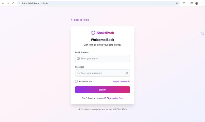
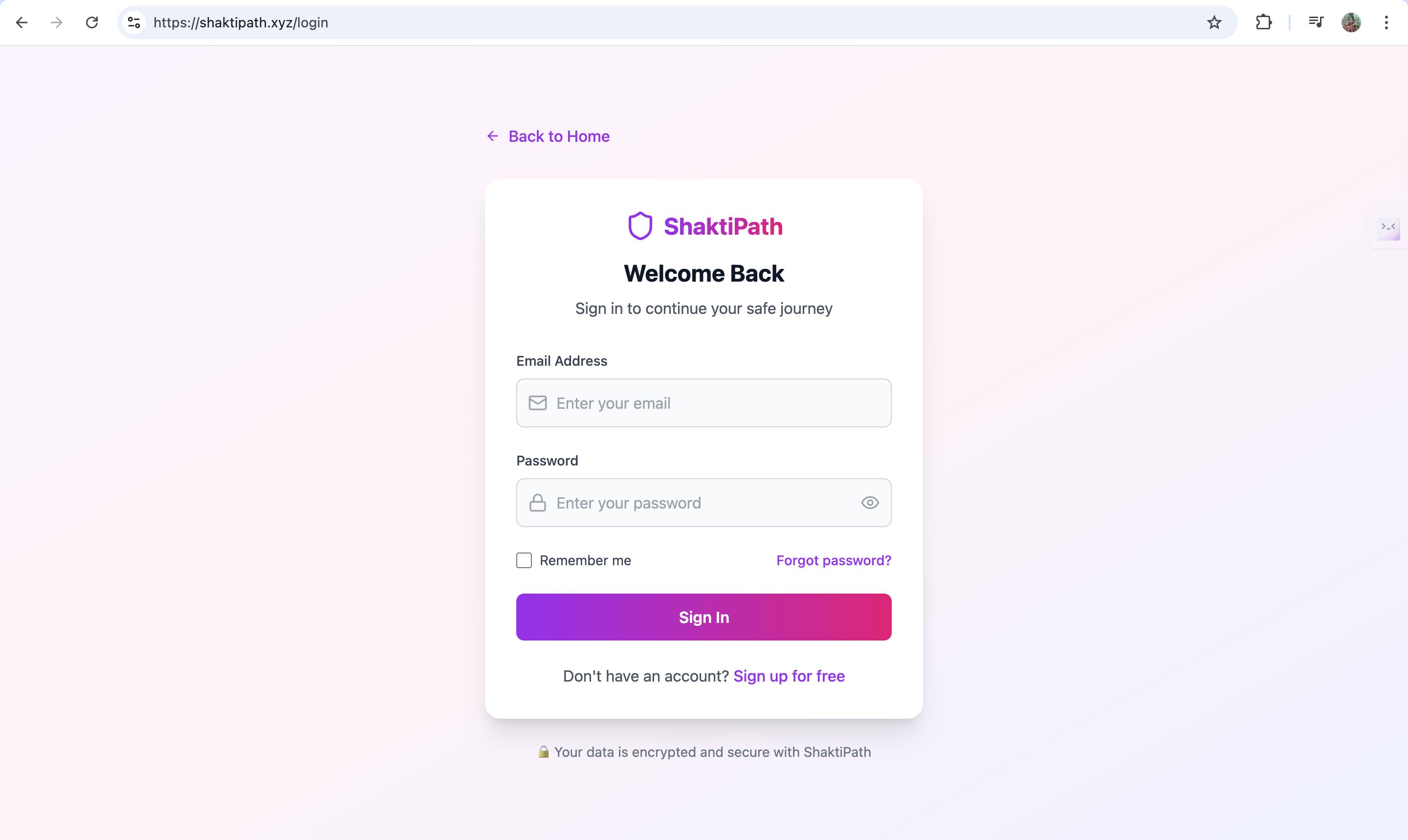
login
-
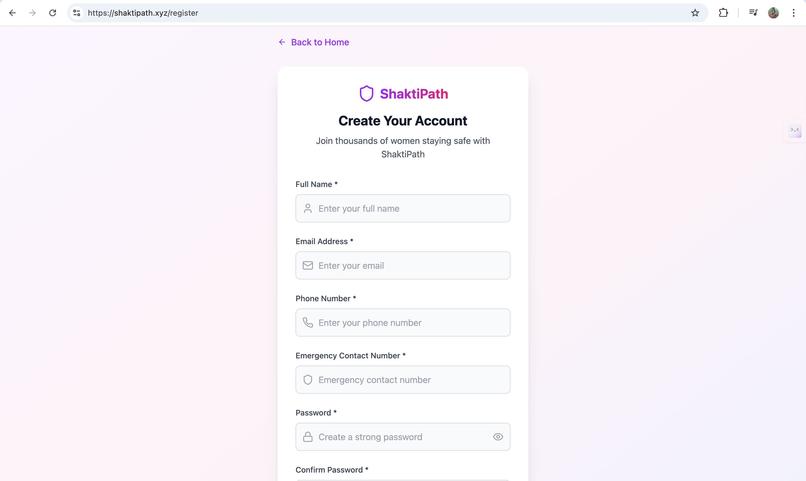
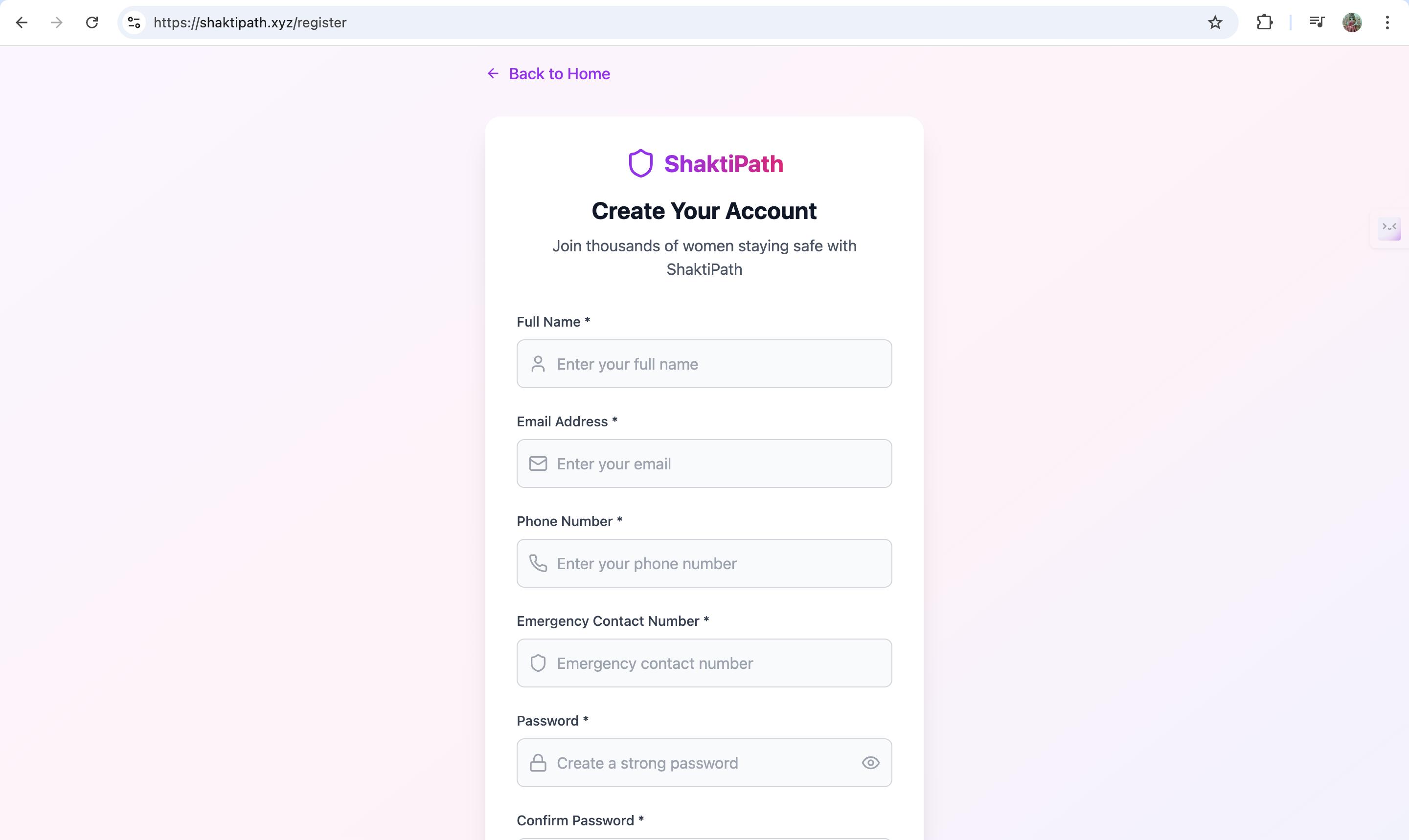
register
-
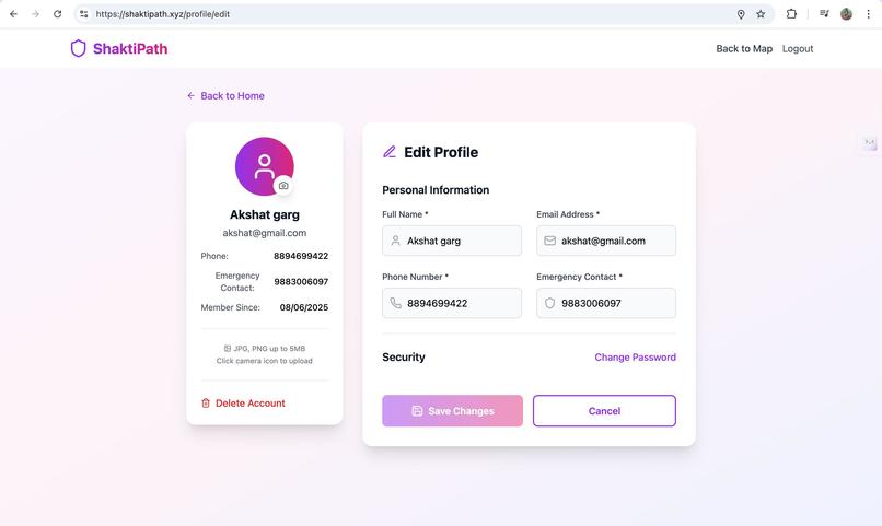
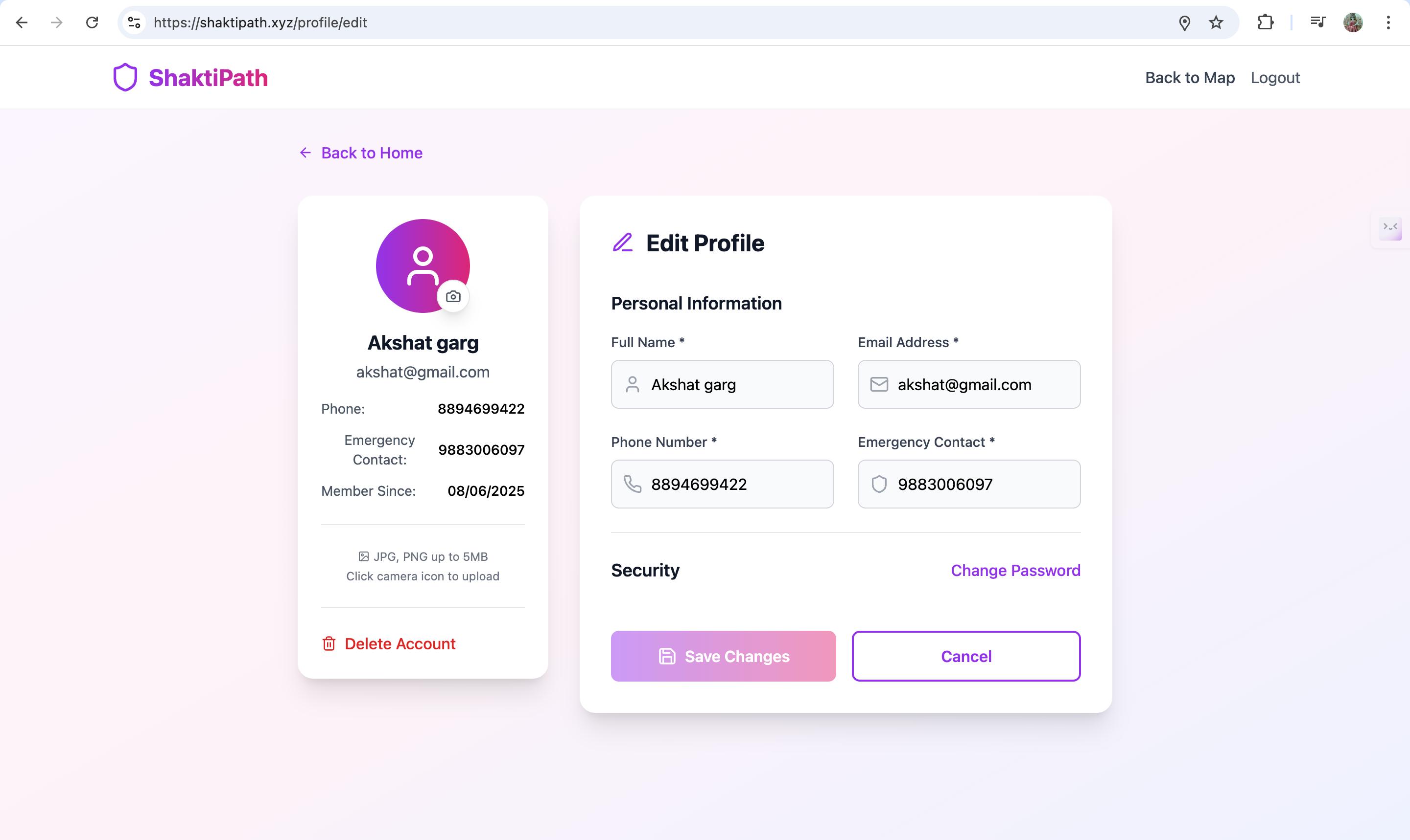
edit user details
-
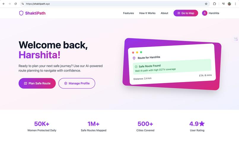
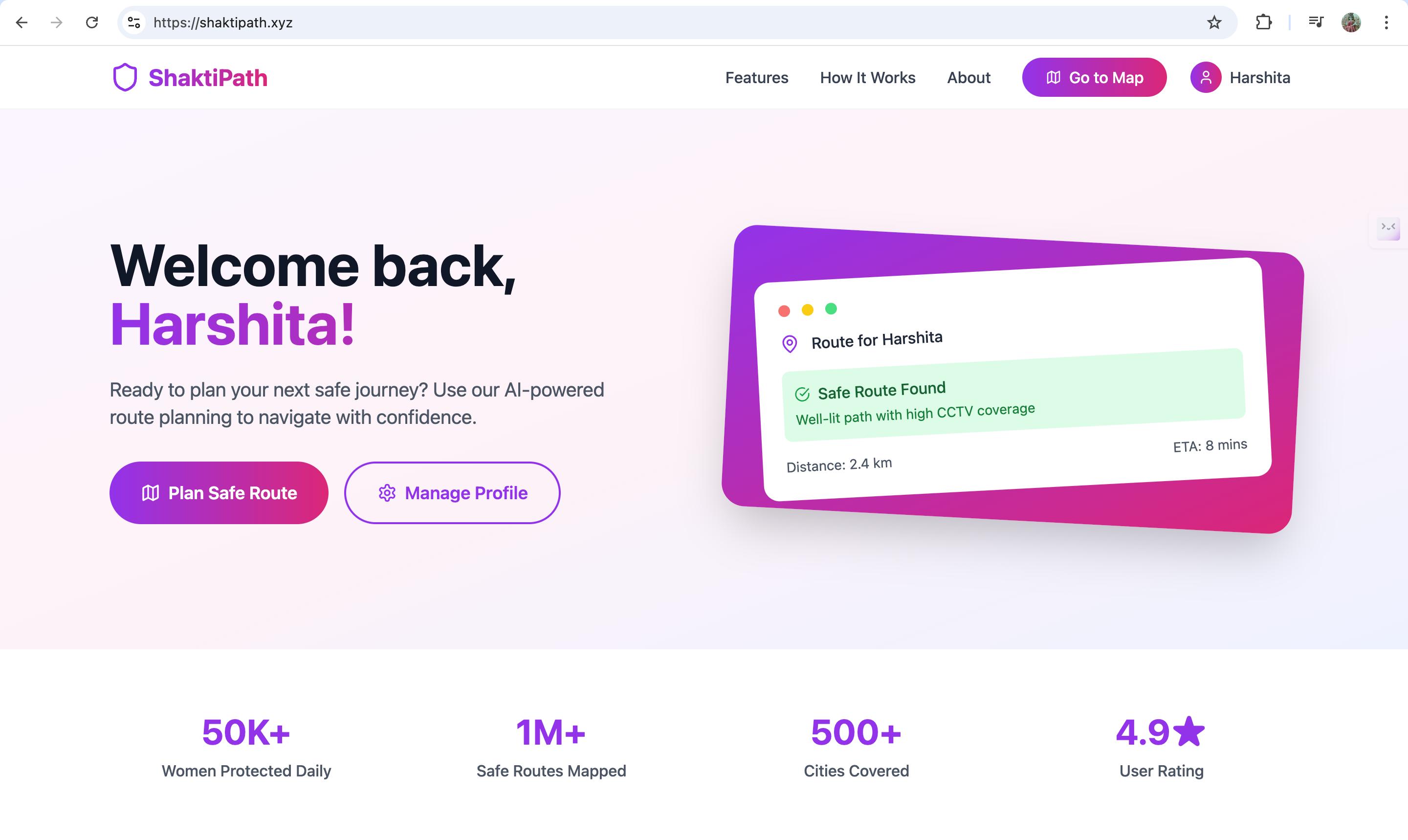
landing page
-
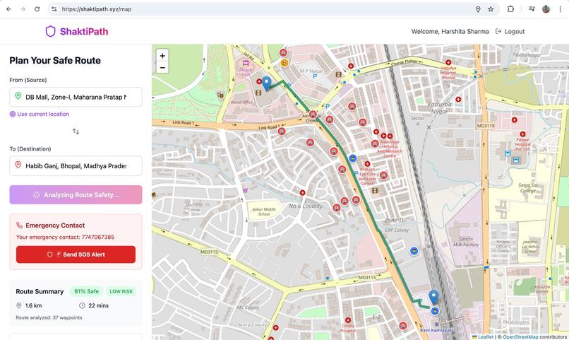
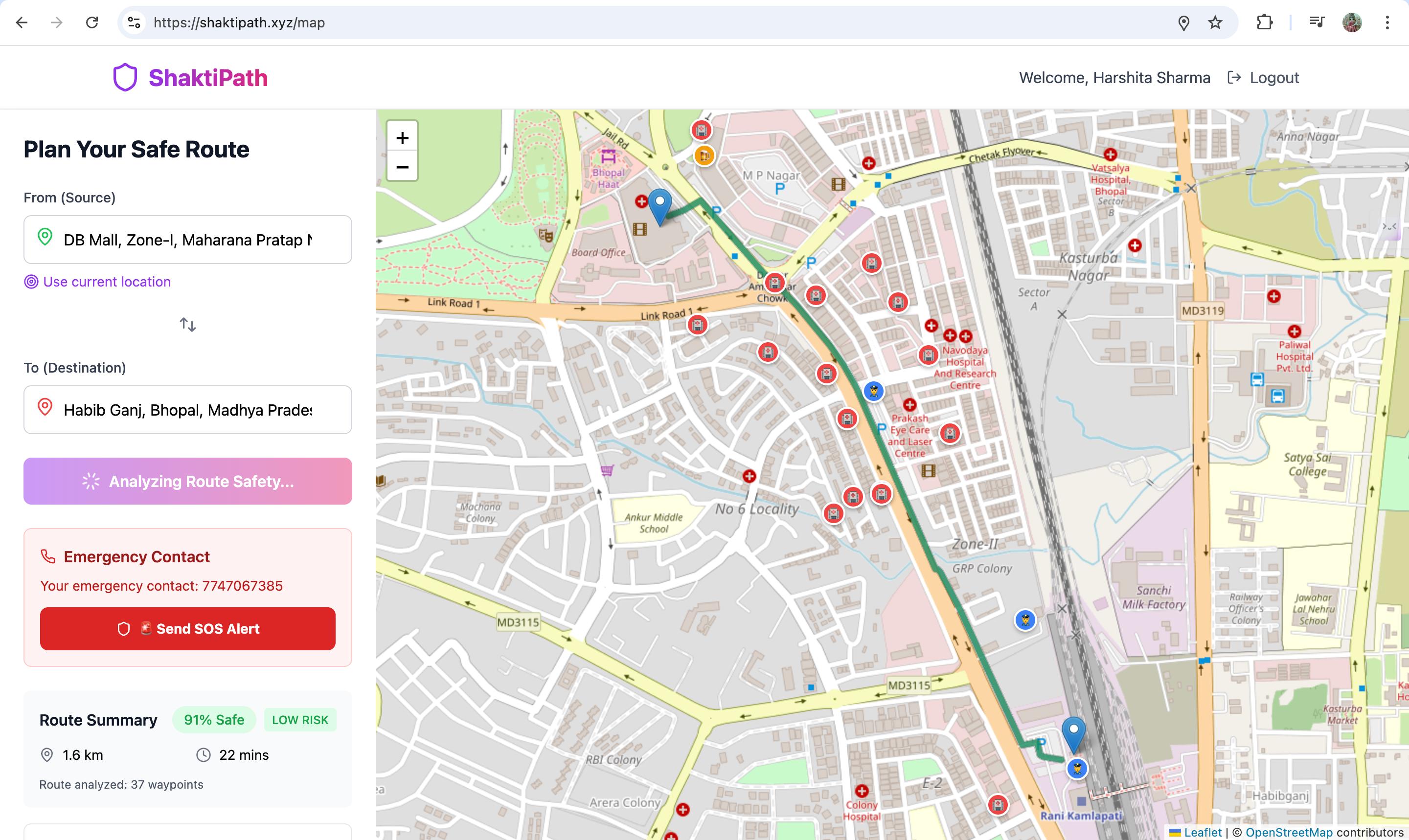
map top
-
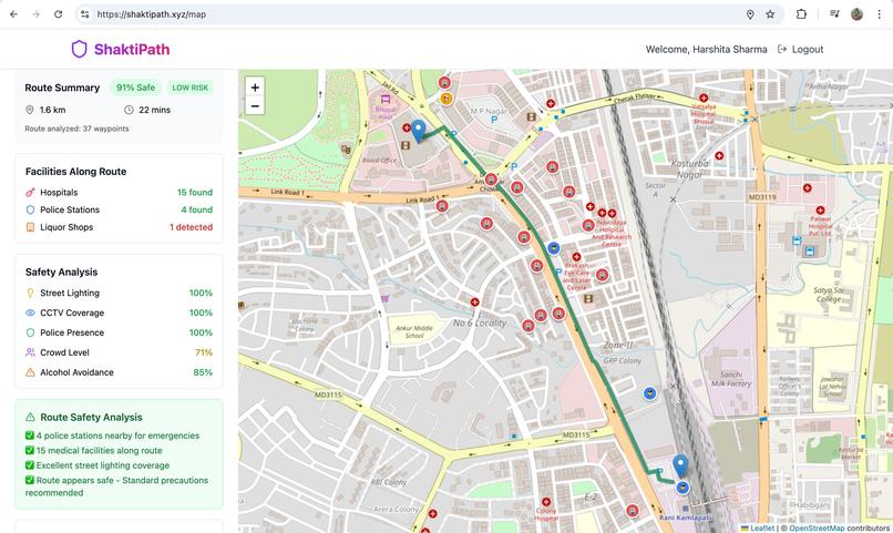
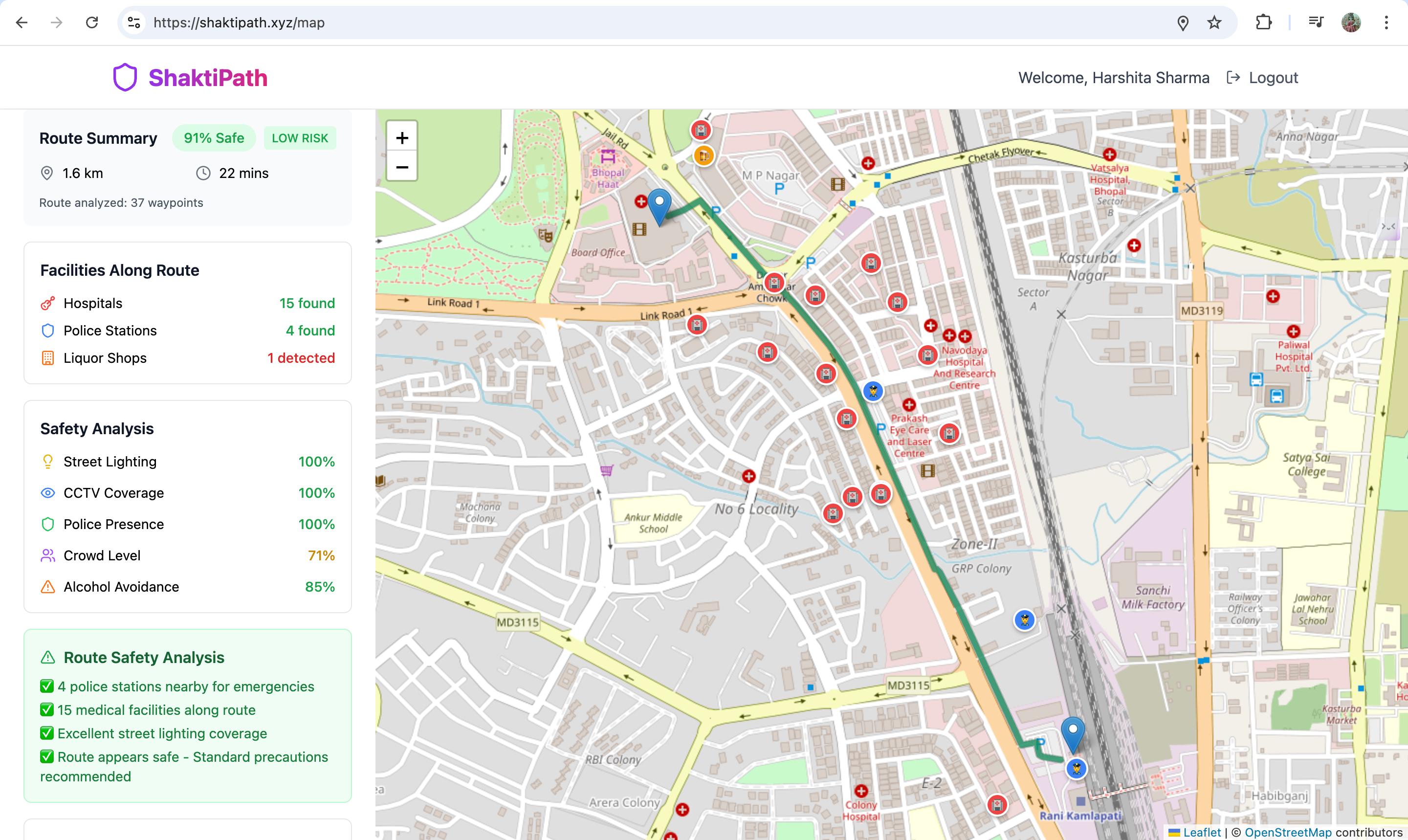
map bottom
Inspiration
The inspiration for ShaktiPath came from the urgent need to improve women’s safety during travel. We were motivated by stories and statistics of women feeling unsafe or facing incidents when walking alone at night, especially in poorly lit or isolated areas. Existing map apps usually prioritize the fastest route, but we realized speed isn’t always the priority when personal safety is at stake. This drove us to create a solution that empowers users with safer route options and peace of mind on their journeys.
What it does
ShaktiPath maps out navigation routes with safety as the top priority instead of shortest travel time. It evaluates multiple critical safety factors for any given path, including:
- Street Lighting – Prefers well-lit streets to keep routes visible at night
- CCTV Coverage – Routes through areas monitored by security cameras
- Police Proximity – Considers closeness of police stations or patrol areas
- Crowd Density – Leverages real-time foot traffic data to avoid isolated spots
- Risky Area Avoidance – Steers clear of high-risk zones (e.g. areas around liquor shops or other known trouble spots)
By accounting for these factors (and adjusting their importance based on the time of day), ShaktiPath provides route suggestions that may be slightly longer but far safer. In practice, a user enters a destination, and the app offers a recommended “safe route” path alongside the usual fastest route. The interface clearly highlights why a route is safer (for example, “90% of this route is well-lit and passes 2 police booths”). Additionally, ShaktiPath includes an emergency SOS button that, with one tap, instantly alerts the user’s trusted contacts with their live location, ensuring help is just a touch away. Overall, the app functions like a familiar maps/navigation tool but with an extra layer of safety intelligence for peace of mind.
How we built it
We built ShaktiPath using a modern web tech stack and multiple data sources. The frontend is developed with React 18 and TypeScript, styled with Tailwind CSS for a responsive, mobile-friendly design. For the mapping and routing functionality, we integrated the Google Maps API (leveraging its Places and Directions services for location search and route calculations) and displayed maps using Leaflet via the React-Leaflet library. We also incorporated the OpenCage Geocoding API for reverse geocoding (translating coordinates to readable addresses) and used MapBox as a fallback for routing and map tiles to ensure reliability. On the backend side, we utilized Supabase as our cloud database and authentication platform – this allowed us to implement secure user sign-up/login and store user data like saved routes or emergency contacts with minimal overhead. The app’s development workflow is powered by Vite, which gave us fast hot-reloading and a smooth build process.
A key aspect of our build is the custom route safety algorithm. We created a scoring system that is time-aware – it adjusts how much each safety factor influences the route depending on the time of travel. For example, after dark, the algorithm increases the weight of street lighting and crowdedness in its calculations, whereas in daytime those might be toned down a bit. This ensures that the “safe route” truly reflects the safest option for the current conditions. Implementing this logic involved combining data from various sources (like lighting and population density proxies) and updating it in real-time as the user’s context changes.
Throughout development, we paid special attention to performance and usability. We optimized API calls to keep the map loading and route calculations snappy, and we used local caching for certain data (like previously fetched safety info) to improve responsiveness. The result is a web application that feels smooth and reactive, even while crunching a lot of safety data behind the scenes.
Challenges we ran into
During the creation of ShaktiPath, we encountered several challenges:
- Data Availability & Accuracy: One big hurdle was obtaining reliable data for all the safety factors. Not all cities openly publish information like the exact locations of street lights or CCTV cameras. We had to get creative by combining whatever open data was available with indirect indicators (for instance, using well-known safe zones or community-reported dark spots). Balancing these sources and ensuring data accuracy was tough.
- Integrating Multiple APIs: Our project uses a combination of Google Maps, OpenCage, MapBox, and Supabase services. Making these different APIs work together seamlessly was non-trivial. We ran into issues like coordinate mismatches, rate limits, and cross-origin requests when mixing data from multiple platforms. Debugging and harmonizing the inputs from various APIs (maps, geocoding, crowd info) required careful handling.
- Real-Time Data & Performance: Incorporating real-time elements (like live crowd density or continuously tracking the user’s location for the SOS feature) introduced performance challenges. We needed to update route safety scores on the fly without making the app lag. Ensuring the app remained responsive while pulling fresh data and recalculating routes was a significant challenge that we had to optimize for.
- Safety vs. Practicality: We also had to fine-tune our route recommendations to balance safety with practicality. Early on, our algorithm sometimes suggested extremely long detours to avoid every minor risk, which isn’t realistic for users who might be in a hurry. Finding the sweet spot — maximizing safety without making the route impractically long or complex — was an iterative challenge. This involved adjusting weightings in the algorithm and even setting some logical limits (for example, avoid a dangerous area unless the detour adds more than, say, 15 minutes extra).
- Time Constraints: Like any hackathon-style project, we were working under a very tight deadline. Packing all these features (maps, safety analysis, accounts, SOS) into a working prototype in a short time meant we had to prioritize tasks ruthlessly. We faced the classic challenge of deciding which features were essential for the demo and which ones to polish later. It was stressful at times to troubleshoot integration issues at 3 AM, but we managed by dividing tasks and helping each other out across different workstreams.
Accomplishments that we're proud of
Despite the challenges, our team achieved several things that we’re proud of:
- Holistic Safety Routing: We successfully designed and implemented a routing system that factors in five different safety criteria simultaneously. Seeing the app generate a route that intelligently avoids a dark alley and instead goes by a police outpost and a well-lit market area felt like a big win, proving our concept works.
- Seamless Multi-Service Integration: Getting all the external services to play nicely together was a huge accomplishment. We integrated the Google Maps platform with our custom safety data, and tied in Supabase for user data – all within a cohesive app. The fact that a user can search for a place, get a safe route, and trigger an SOS, all in one flow, demonstrates the solid integration we pulled off.
- User-Friendly Design: We’re proud of the user interface and experience. The app is simple to use despite doing complex things in the background. Features like the one-tap SOS and the clear display of safety information for each route make the app accessible to someone who just wants to feel safer, without needing to understand the tech behind it. We took care to make the design clean and mobile-responsive, so it works well on a phone during actual walks.
- Working Prototype Under Deadline: Building a functioning prototype of ShaktiPath within the hackathon timeframe is itself a big accomplishment. We have a demo where you can log in, see your location on a map, enter a destination, and actually get a “safe route” alternative. It’s not just slideware – it’s a real demo that we hacked together from scratch. This sets a strong foundation for further development beyond the competition.
What we learned
Building ShaktiPath was a tremendous learning experience for our team. On the technical side, we became much more proficient in working with geospatial data and mapping tools. Integrating multiple APIs taught us how important it is to handle data carefully and plan for things like rate limits and fallback options (we learned not to rely on a single API for everything!). We also gained hands-on experience with new technologies – for some of us it was our first time using Leaflet for maps or Supabase for auth, and now we’re quite comfortable with them.
Beyond the technical skills, we learned a lot about the domain of urban safety. Researching what makes a route “safe” or not opened our eyes to factors we hadn’t initially considered (for example, how the presence of people can make an area safer at one time but crowd congestion could pose different issues at another time). This taught us the value of context and how time-awareness can be a game-changer – a street that’s safe at 5 PM might not be at 11 PM, so our app needs to reflect that nuance.
We also learned the importance of user-centric design when safety is involved. We gathered informal feedback from a few friends, and that helped us simplify the app’s workflow (one suggestion led us to add an audible alarm when SOS is triggered, to attract nearby help). This experience reinforced that when building technology meant to protect or assist people, empathy and understanding the end-user’s anxiety and needs is crucial.
Finally, as a team, we learned how to better collaborate under pressure. Coordinating front-end and back-end work concurrently, merging code without breaking things, and quickly debugging issues were all valuable lessons in teamwork and agile development. We come out of this project not only with a cool prototype, but also with new knowledge and a stronger team bond.
What's next for ShaktiPath - a time-aware safe-route planner
We’re excited about the future possibilities for ShaktiPath and have many ideas to expand and improve it further:
- Wider Data Integration: We plan to incorporate additional data sources like local crime statistics and community-reported safety incidents to enhance our safety scoring. More granular data (e.g. which specific streets have better lighting or recent reports of harassment) will make route recommendations even more accurate.
- Machine Learning & Personalization: In the future, we want to explore machine learning models to better predict route safety. For example, using historical data to predict which areas might become deserted at certain late hours. We’d also like to personalize route suggestions based on an individual user’s preferences (some users might prefer avoiding isolated parks, others might be more concerned about traffic, etc.).
- Enhanced Time-Awareness: Currently, ShaktiPath is time-aware in weighing factors, but we can push this further. We intend to allow users to input a future travel time so the app can recommend the safest route for, say, someone planning to leave at 10 PM (taking into account that a usually busy market will be closed by then, for instance). Accounting for seasonal changes (earlier nightfall in winter) or special events in the city that affect safety is also on our roadmap.
- Mobile App & Offline Mode: We aim to develop ShaktiPath into a standalone mobile application for both iOS and Android. A native app would let us send proactive safety alerts and work more seamlessly with phone sensors (shake-to-trigger SOS, etc.). We also recognize the importance of offline capabilities – being able to save maps and routes so that even with poor internet connectivity, a user can navigate safely.
- Community & Partnerships: Another next step is building a community feature where users can provide feedback on routes (for example, marking a spot as poorly lit or reporting incidents). This crowd-sourced information can keep our data up-to-date and engage users to look out for each other. Additionally, we hope to partner with local authorities or safety organizations. Collaborating with city police departments or campus security, for example, could allow us to integrate official safety alerts (like road closures at night or active incidents) directly into ShaktiPath. Such partnerships would lend credibility and might open access to better infrastructure data (like live CCTV feeds or street light outage info) to further improve our system.
In summary, we envision ShaktiPath growing from a hackathon prototype into a fully-fledged platform that not only guides individuals along safer paths in real-time but also drives broader awareness and improvements in urban safety. The journey doesn’t end here – it’s just the beginning for ShaktiPath, as we work towards making safe navigation a standard for everyone, everywhere.
Built With
- google-directions
- google-places
- netli
- react
- supabase
- typescript
- vite

Log in or sign up for Devpost to join the conversation.