Inspiration
Natural disasters are becoming more frequent and destructive, yet disaster response often struggles with delayed information and fragmented communication. We were inspired to create Soterra as a way to centralize disaster reporting, give communities a clearer picture of the actual impact of ongoing crises, and connect citizens with ways to take action during emergencies.
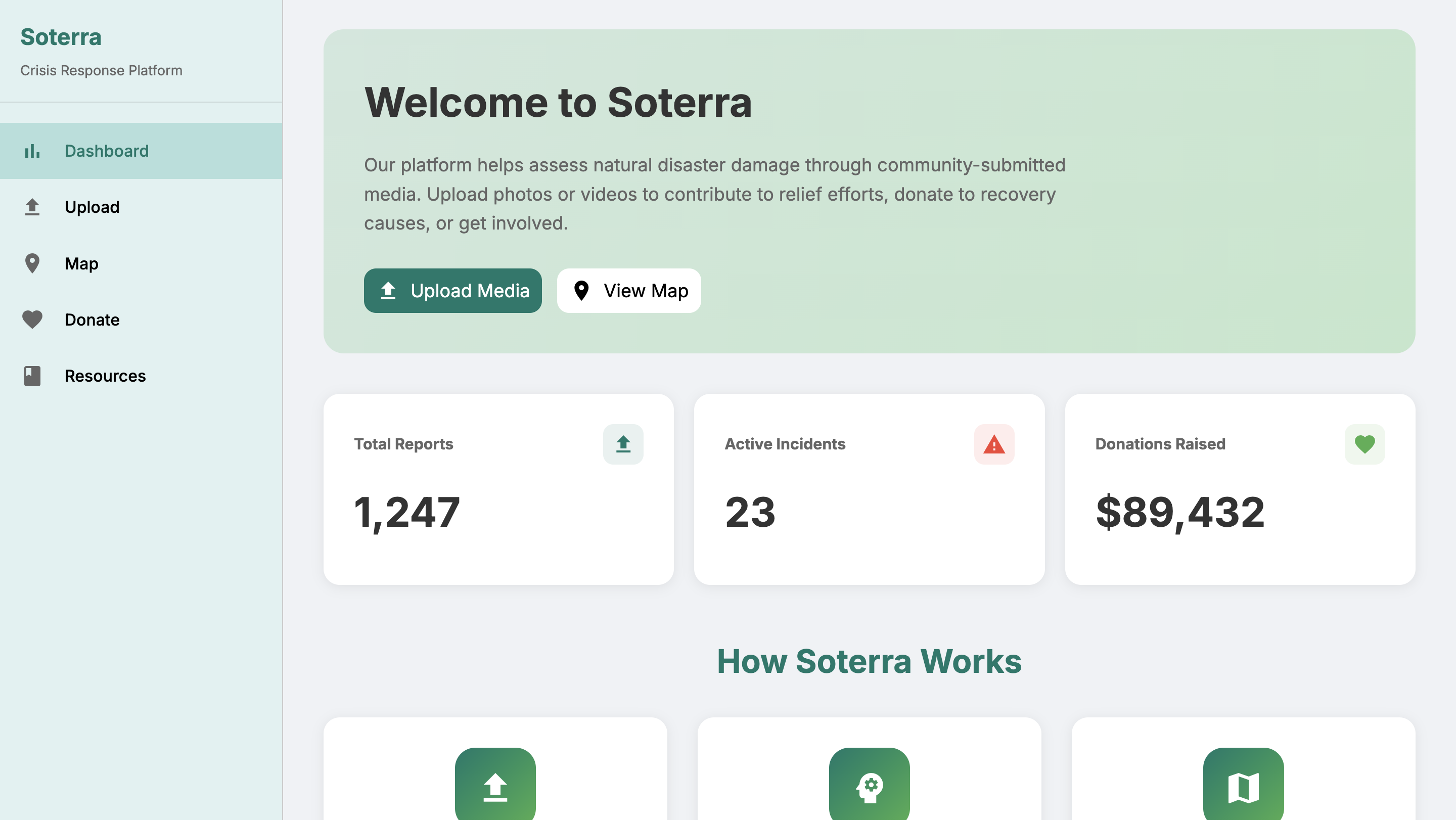
What it does
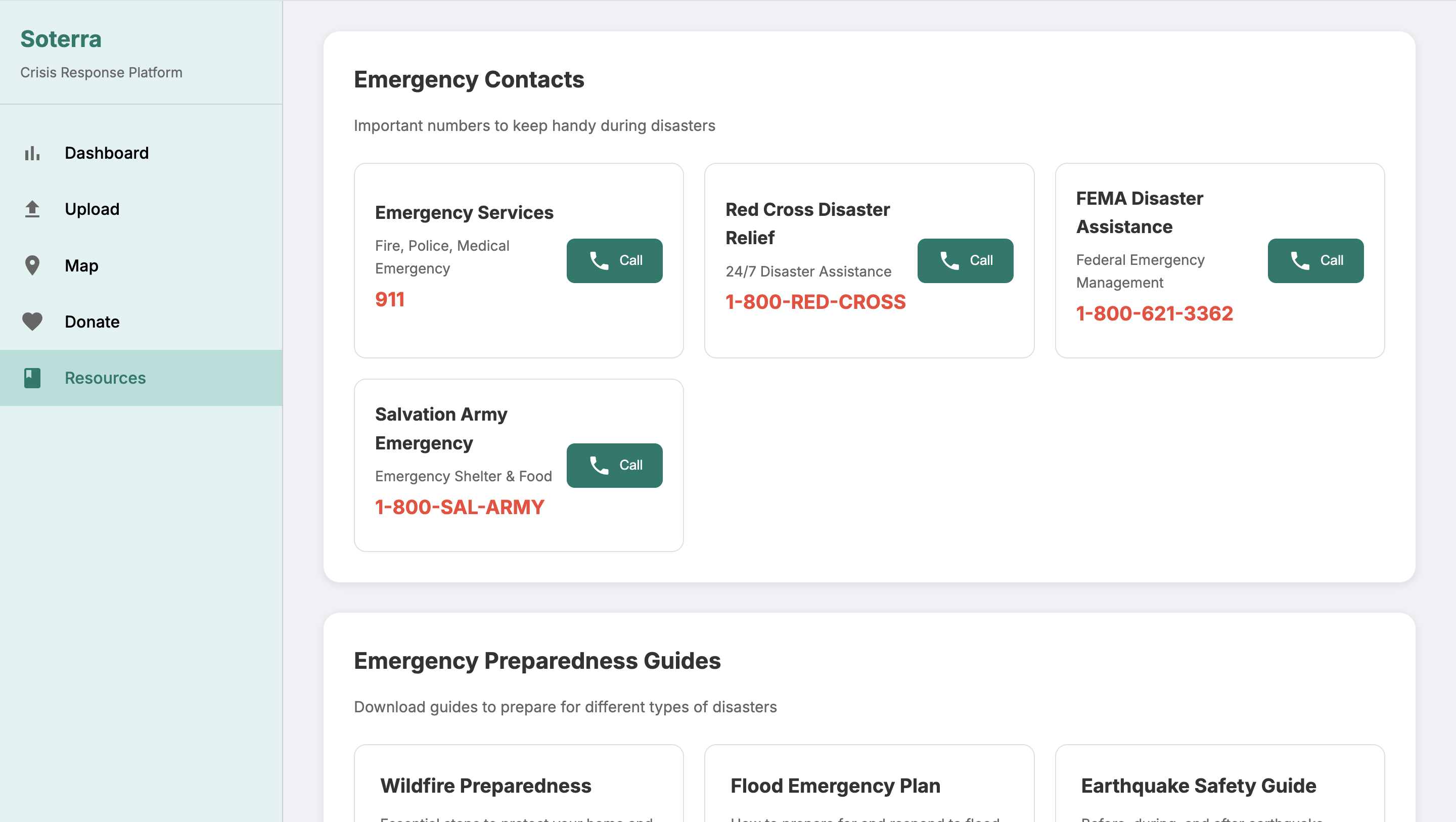
Soterra is a web platform that allows users to upload photos of disaster-affected areas, along with location details. These reports are displayed on an interactive, color-coded map that visualizes the scale and spread of disasters in real time. The platform also provides a donation and resource hub that connects users to trusted relief organizations and preparedness guides, helping provide support where it’s needed most.
How we built it
We built Soterra using HTML, CSS, and JavaScript, with the Google Maps API for the map visualization. For now, user submissions are stored in a local database.
Challenges we ran into
Accomplishments that we're proud of
We’re proud of creating a functional and visually clear disaster map. Building a seamless upload-to-map pipeline was a big milestone. We’re also proud that Soterra doesn’t just stop at visualization. It directly connects users to donations and relief efforts, making the platform both informative and actionable.
What we learned
What's next for Soterra
In addition to improving the UI so it is more accessible across devices and more visually pleasing, the biggest thing we want to implement is AI-powered damage assessments so uploaded photos and videos can automatically be classified by severity and disaster type. We'd also like to use a more robust database for storage.

Log in or sign up for Devpost to join the conversation.