-
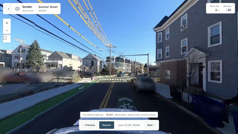
Recorded Cyvl imagery on Summer Street, Somerville, shown in Sonder’s former street-view interface.
-
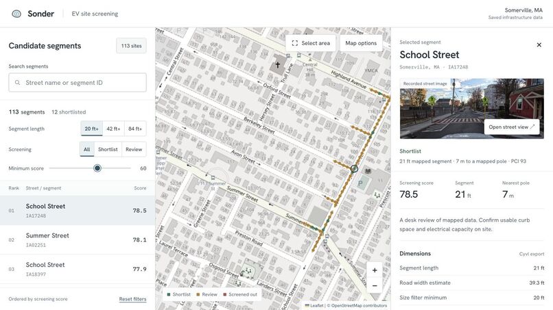
Former Sonder screening workspace with saved Somerville infrastructure data. Map data © OpenStreetMap contributors.
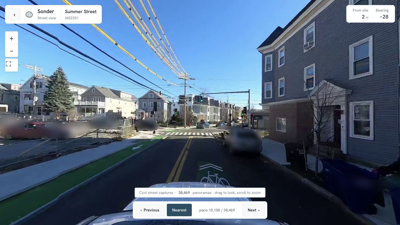
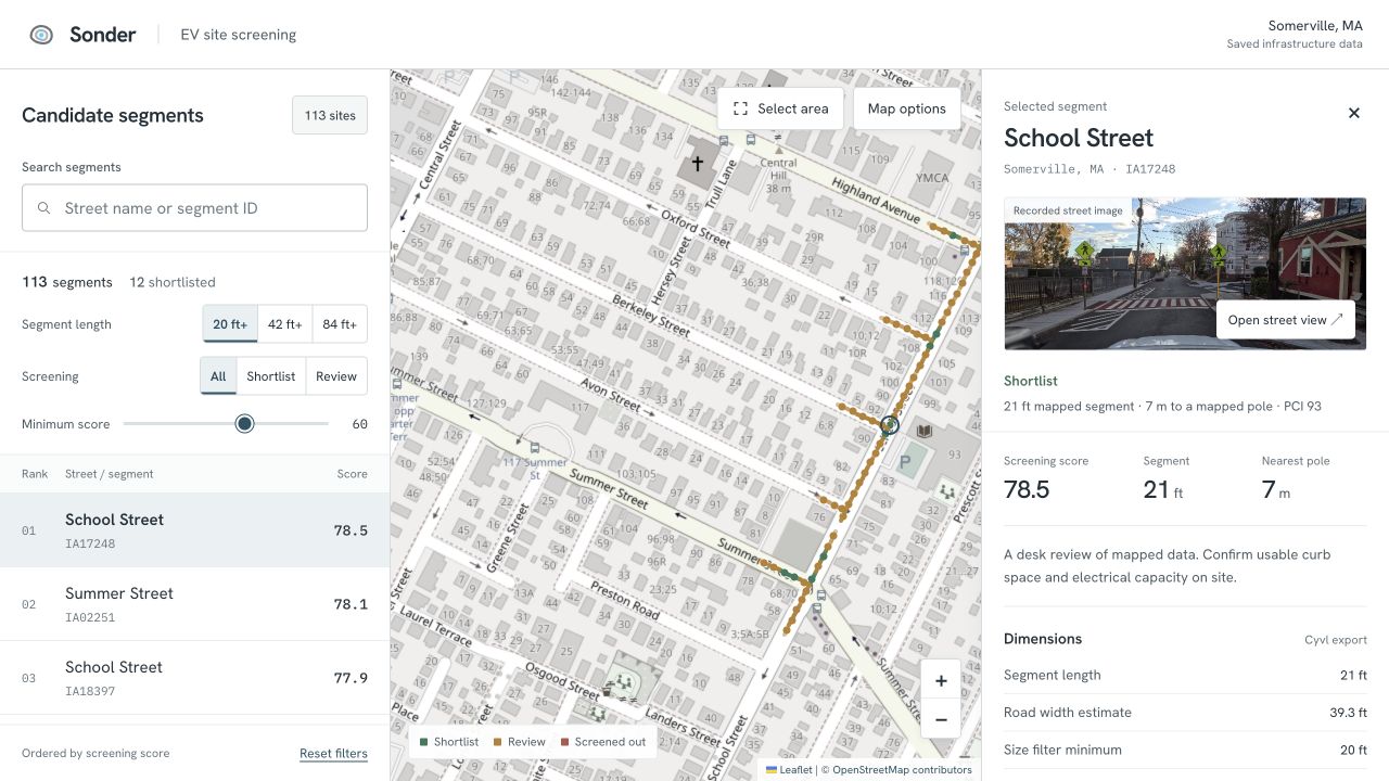
Sonder screens potential curbside EV charger locations using saved street imagery, infrastructure data, and LiDAR.
The project compares 456 Somerville street segments using geometry, nearby mapped assets, and road-marking proxies. The former web app let reviewers filter candidates, compare scores, and open recorded street views to inspect each location.
Python, GeoPandas, and Shapely handle spatial processing. FastAPI and Claude support site-review services, ReportLab generates PDF reports, and the CAD pipeline uses PDAL and Autodesk APS. Saved survey fixtures can produce a report without an API key.
The scores support an initial desk review. Curb space, accessibility, electrical capacity, restrictions, and permits still need to be checked on site.
The web apps are now retired. The repository preserves screenshots, recorded street captures, screening code, survey services, and the CAD pipeline. The images here show the former interface.
Built by Thomas Ou, Aarav Raina, Sayem Kamal, and Maximus Rome at the Cyvl Physical AI Hackathon in Somerville on June 13, 2026.
Map data © OpenStreetMap contributors.
