-
-
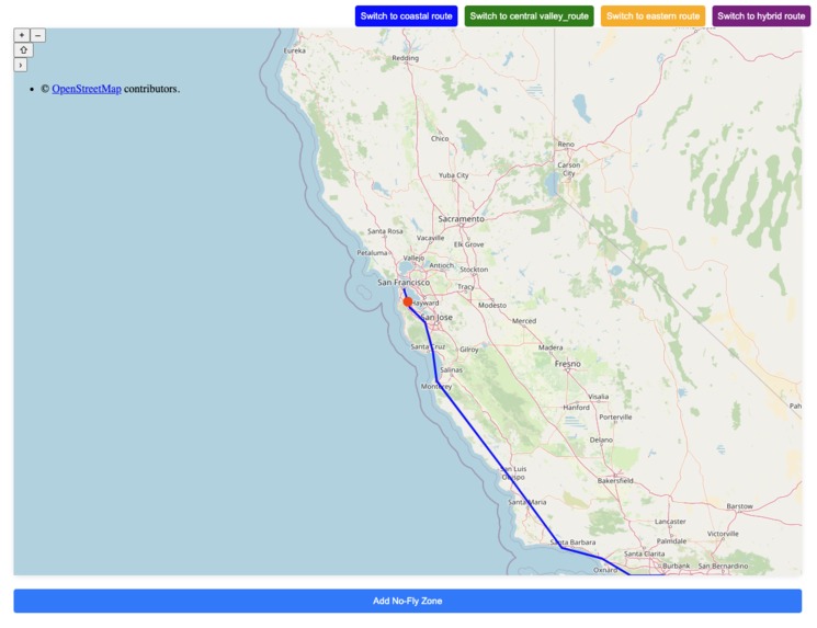
Flight path route
-
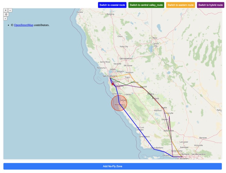
No fly zone
-
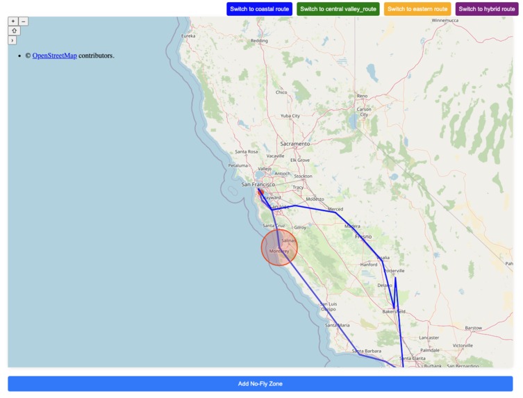
Change route
Inspiration
Airspace restrictions and sudden no-fly zones can create significant challenges for pilots, potentially leading to delays, diversions, or even safety hazards. We recently say the mis-air collision in Washington between Military helicopter and American Airlines that killed 67 people. I wanted to develop a tool that assists pilots in real-time by offering optimized rerouting options that proactively avoid restricted areas.
What it does?
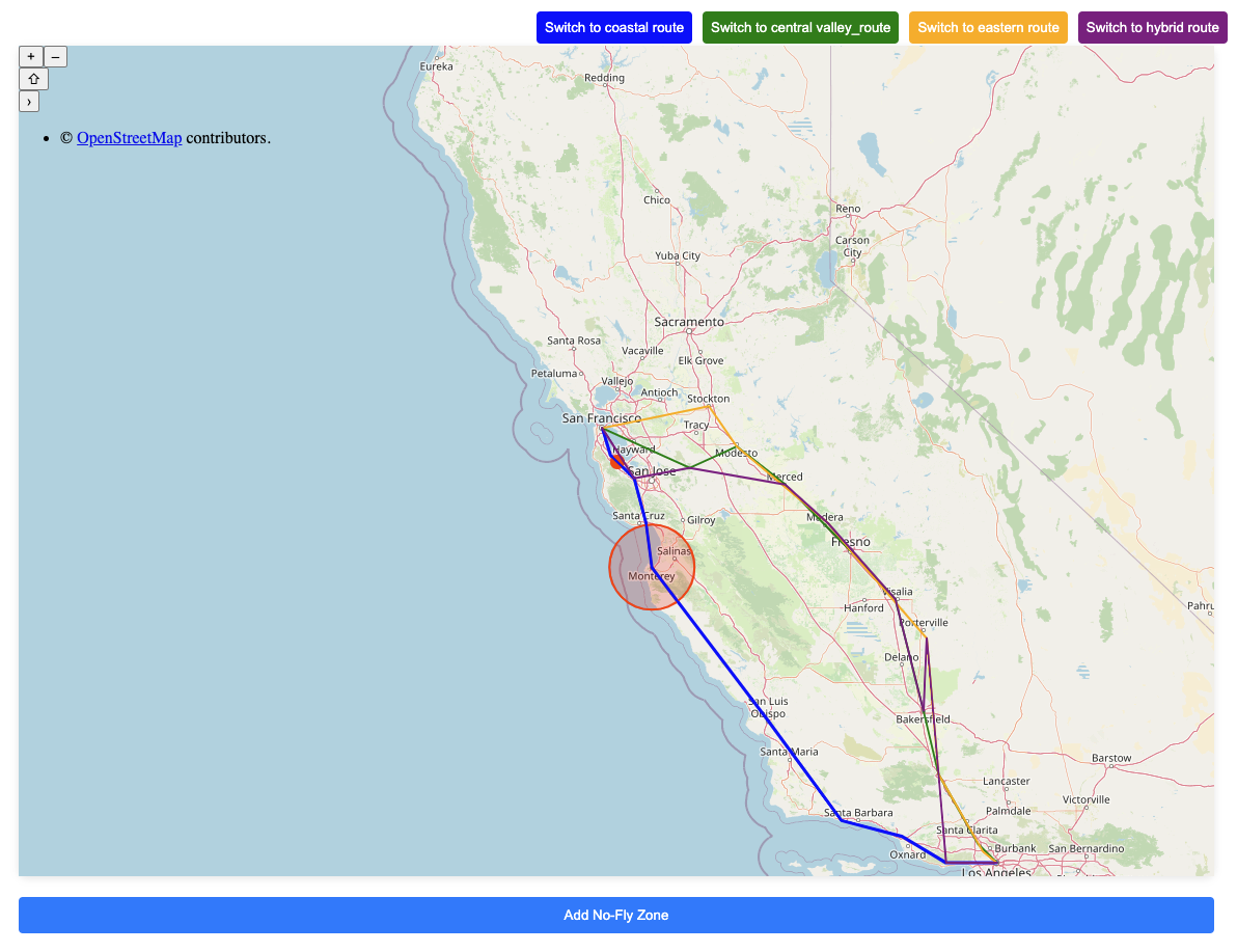
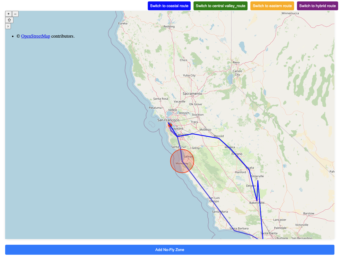
SkyGuardian helps to find reroutes for flights when a no-fly zone is declared. It breaks down flight paths into smaller segments, continuously monitoring each segment for potential conflicts. When a no-fly zone is detected, the system identifies the next 2–3 optimized alternative routes, ensuring the aircraft remains on a safe and efficient path.
How I built it?
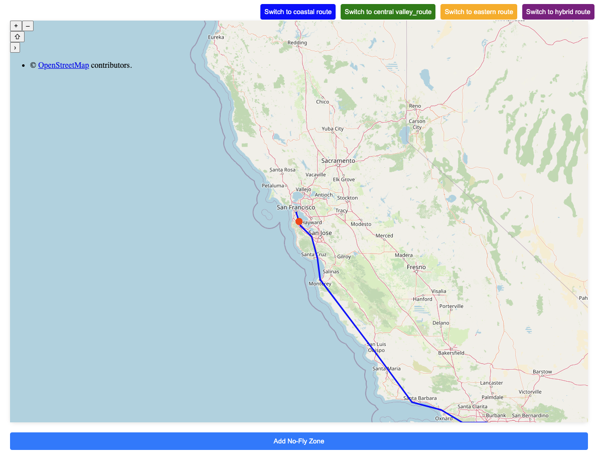
I built SkyGuardian a simple application using Angular and OpenLayers for interactive map visualization. The core functionality relies on: -- Flight Path Management: Predefined routes between major cities, represented as sequences of coordinates. -- No-Fly Zone Detection: A system that identifies restricted zones and checks for intersections with active routes. -- Dynamic Route Switching: Real-time rerouting logic that offers optimized alternatives when a no-fly zone is encountered. -- Visualization: Different routes are displayed using distinct colors, and animations track the flight’s progression on the map.
Challenges I ran into
-- Implementing real-time rerouting logic that efficiently checks multiple flight paths for no-fly zone intersections. -- Managing map visualization with dynamic route switching while ensuring smooth animations. -- Optimizing performance when handling multiple active routes and continuous real-time checks.
Accomplishments that I am proud of
-- Integrated multiple predefined flight paths and visualized them seamlessly on an interactive map. -- Built an efficient animation system that tracks the flight’s movement and reflects real-time changes.
What we learned
-- How to handle real-time geospatial data processing with OpenLayers.
What's next for SkyGuardian
-- Integrating real-time airspace data from correct sources to dynamically update no-fly zones. -- Incorporating weather data to suggest safer or more efficient flight paths. -- Enhancing route optimization algorithms using machine learning for smarter and more adaptive rerouting.

Log in or sign up for Devpost to join the conversation.