🌍 Inspiration
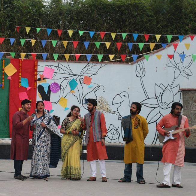
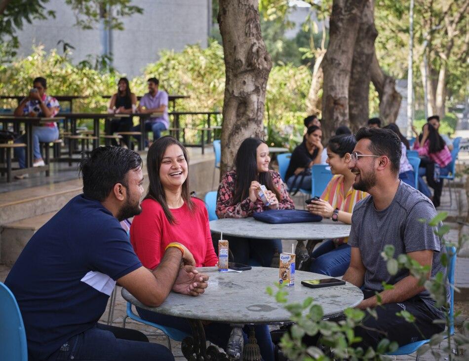
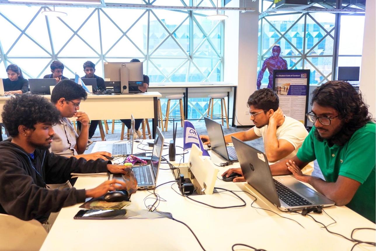
Campus life is full of cultural festivals, hackathons, sports activities, and spontaneous moments, but students often discover them through scattered group chats, social media posts, or word of mouth. We wanted to make campus activities easier to discover through a simple, visual, location-based experience.
That idea inspired SnapMap AI — a platform that connects photos with places and helps students explore what's happening around their campus.
💡 What It Does
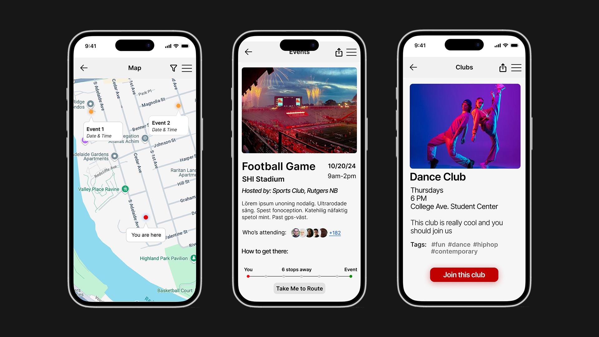
SnapMap AI is a map-based campus photo-sharing and discovery application. Students can capture or upload photos with location information and explore them through an interactive map.
The project aims to go beyond displaying individual photos by using AI to help identify related uploads, group them into potential campus events, and generate concise event summaries.
Our goal is to turn scattered campus moments into useful, discoverable experiences.
✨ Key Features
- Interactive Campus Map: Explore photo activity through map markers and clusters.
- Location-Based Photo Sharing: Capture or upload campus photos with location information.
- Photo Galleries: Browse uploaded photos and explore related activity.
- Authentication: Use Clerk to manage user authentication.
- Cloud Image Storage: Store and retrieve uploaded photos through Azure Blob Storage.
- AI-Powered Discovery: Intended AI capabilities include grouping related photos and generating summaries of potential campus events.
AI-generated groupings and summaries should be treated as suggestions rather than verified facts.
🛠️ How We Built It
We used React Native and Expo to build the mobile experience, with Expo Camera and Expo Location supporting photo capture and location access. The interactive map provides the main discovery interface.
The backend uses Node.js and Express.js to handle API requests, while MongoDB Atlas stores application metadata. Clerk supports authentication, and Azure Blob Storage handles image storage.
For the AI component, we plan to connect image understanding and event-grouping logic with the existing photo and location workflow. This can combine image content, timestamps, and approximate geographic proximity to identify potentially related activity.
AI implementation: [Describe the model/API and AI workflow actually implemented in the submitted version.]
🧩 Challenges We Faced
One of the main challenges is connecting mobile photo uploads, location data, authentication, cloud storage, and backend APIs into a consistent experience.
Another challenge is making event discovery useful without incorrectly grouping unrelated photos. Location and proximity alone cannot establish that two photographs belong to the same event, so semantic similarity and contextual information are important considerations for the AI workflow.
Privacy is also important. Location permissions should be transparent, and users should remain in control of the photos and location information they share.
📚 What We Learned
Building SnapMap AI highlights how mobile development, backend engineering, geospatial data, cloud storage, and AI can work together to solve a real campus problem.
We also learned that adding AI is not just about generating outputs: the feature needs to be useful, understandable, and reliable enough to help users make better decisions.
🚀 What's Next
We want to improve AI-assisted event grouping, generate more informative event summaries, introduce campus-specific discovery filters, and let users provide feedback when an event is grouped incorrectly.
Our long-term vision is to make SnapMap AI a simple way for students to discover the people, activities, and experiences that bring their campus to life.
SnapMap AI — See your campus come alive.
Built With
- ai
- azure-blob-storage
- clerk
- computer-vision
- expo.io
- express.js
- geospatial-data
- javascript
- mapbox
- mongodb-atlas
- node.js
- react-native


Log in or sign up for Devpost to join the conversation.