
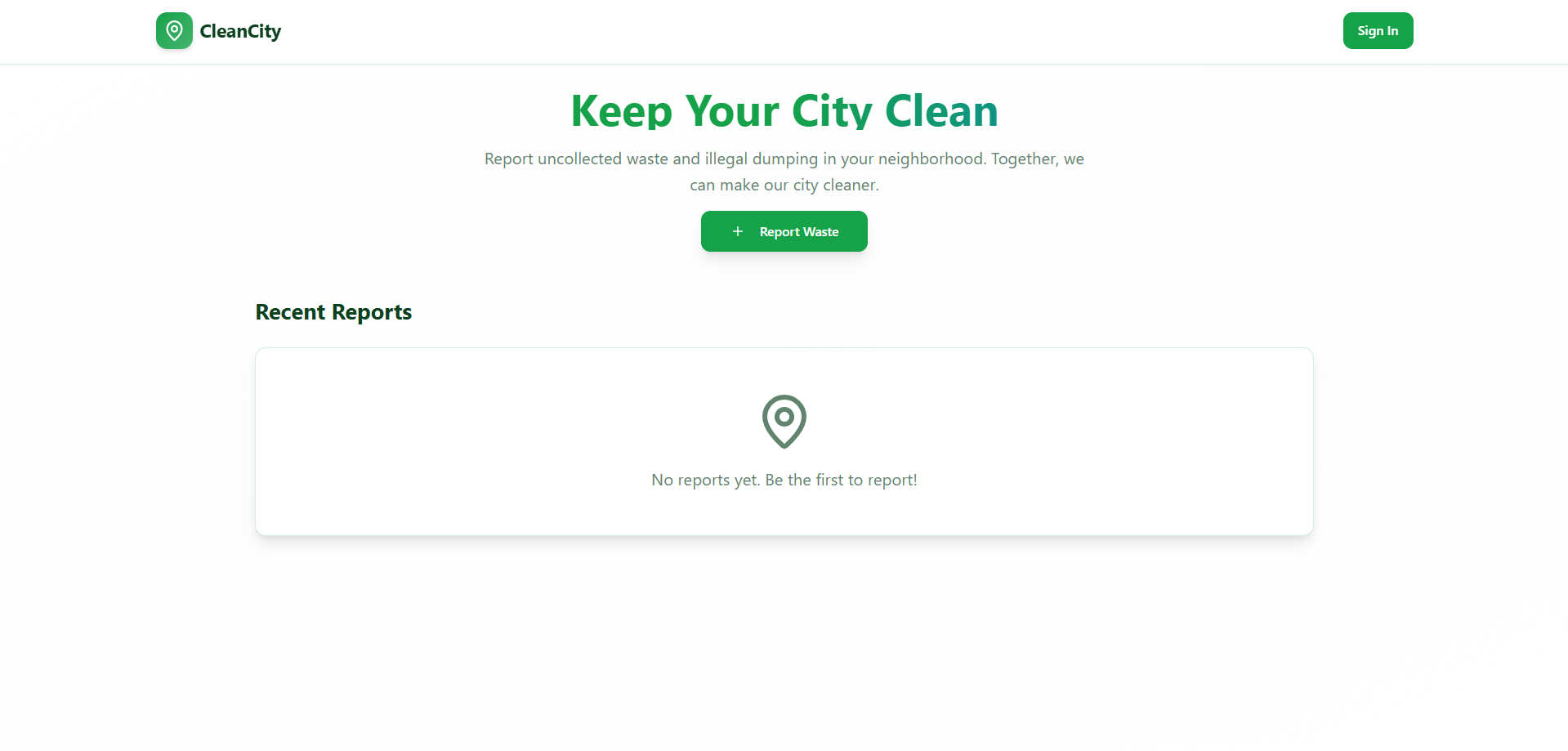
A Smart Waste Management System addresses a real-world problem with modern technology.
Here are the key points for your presentation, structured under the headings you provided.
Inspiration
- The Problem: We were inspired by the visible issues of uncollected waste and illegal dumping in our community, which pose significant public health and environmental hazards. Existing systems often rely on manual reporting (phone calls) which is slow and lacks real-time visibility.
- The Goal: We wanted to leverage mobile technology, GIS (Geographic Information Systems), and real-time data to create a transparent, efficient, and citizen-centric solution that improves municipal services and promotes civic participation.
- Key Driver: The desire to build a smarter city infrastructure where citizens are empowered to be part of the solution.
What it does
The Smart Waste Management System is a comprehensive platform built on three core pillars:
- Citizen Reporting (Mobile/Web App):
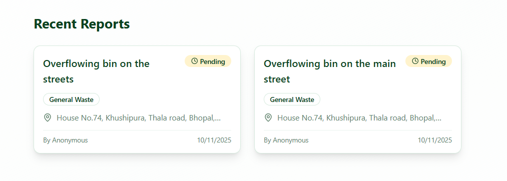
- Allows citizens to quickly report incidents (uncollected bins, illegal dumping) using their phone.
- Captures real-time photo evidence, GPS location, and waste type.
- Optional Gamification: Rewards users with points for verified reports or proper waste segregation education.
- Real-Time Municipal Dashboard (Admin Panel):
- Provides a real-time, interactive map showing all open waste reports as distinct markers.
- Allows sanitation managers to assign tasks and track collection status instantly.
- Analytics for identifying hot-spot areas and service gaps.
- Logistics and Efficiency:
- (Future/Planned Feature) Integrates with GPS trackers on waste collection trucks to show their location and optimize collection routes based on the real-time reported incidents, leading to fuel savings and faster response times.
How we built it
- Frontend (Citizen App): We used React Native (or Flutter/ReactJS) for a cross-platform mobile and web experience, focusing on a simple, intuitive user interface.
- Backend (API & Logic): The core logic runs on Node.js/Python (Django/Flask) to handle user authentication, report processing, and real-time updates.
- Database: We utilized a NoSQL database (like MongoDB or Firebase) to handle the high volume of location-based and image data, ensuring quick reads and writes for real-time performance.
- Mapping and GIS: We integrated the Google Maps API (or Mapbox/Leaflet) to display the neighborhood map, drop location markers, and handle the real-time geocoding and tracking features.
- Real-Time Communication: We implemented WebSockets (or a service like Firebase Realtime Database) to ensure that the Admin Dashboard updates instantly when a new report is filed and when an admin marks an incident as collected.
Challenges we ran into
- Geospatial Data Management: Handling and efficiently querying a large number of dynamic GPS coordinates (user reports) in real-time proved challenging to keep the map responsive. We had to optimize our database indexing.
- Image Processing and Storage: Dealing with user-uploaded photos—resizing, compressing, and securely storing them—required implementing a robust cloud storage solution (like AWS S3 or Google Cloud Storage) to maintain performance without overwhelming the server.
- The Admin Workflow: Designing an admin dashboard that was simple yet powerful enough for municipal staff (e.g., filtering reports by type, assigning reports to specific teams) required several iterations of user testing.
Accomplishments that we're proud of
- Seamless Real-Time Flow: We successfully implemented the end-to-end demo flow where a user report instantly appears on the admin map and disappears just as quickly when collected, validating the core functionality.
- Intuitive User Experience (UX): We built a reporting interface that requires only three taps from opening the app to submitting a fully geo-tagged report, making it highly accessible for all citizens.
- Creating a Scalable Model: The architecture is designed to be easily scaled to cover an entire city or multiple municipalities without significant re-engineering, which is crucial for future deployment.
What we learned
- Importance of Data Validation: We learned that user reports can contain noise (e.g., incorrect waste type, non-garbage reports). Future improvements need stronger AI-powered image analysis for automated report validation.
- Real-World vs. Digital Efficiency: Building an app is only half the battle; integrating it with the existing logistics of a municipality (e.g., crew schedules, truck maintenance) requires understanding complex organizational processes.
- Citizen Engagement is Key: The Gamification feature taught us that small digital incentives can significantly boost public participation and ownership in civic issues.
What's next for Smart Waste Management System
- Route Optimization AI: Implement an AI/ML algorithm to automatically generate the most efficient collection routes for trucks based on the real-time clustered reports and existing static routes.
- Community Segregation Education: Develop an interactive module within the app to educate users on proper waste segregation rules specific to their neighborhood, tied to the gamification points.
- IoT Integration: Integrate with smart waste bins (bins with fill-level sensors) to get data on static collection points, further optimizing logistics and allowing for predictive maintenance of collection services.
- Open Data API: Create a public API to share anonymized data with researchers and city planners, fostering further data-driven decision-making about urban cleaning services.

Log in or sign up for Devpost to join the conversation.