-
-

2
-

1
-
3
Inspiration
The inspiration came from the growing concern about air pollution's impact on outdoor fitness enthusiasts. We witnessed how air quality became a critical factor in outdoor activities. Many runners and joggers struggle to find safe routes, especially in urban areas where pollution levels vary significantly by location and time.
What it does
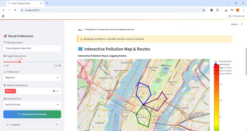
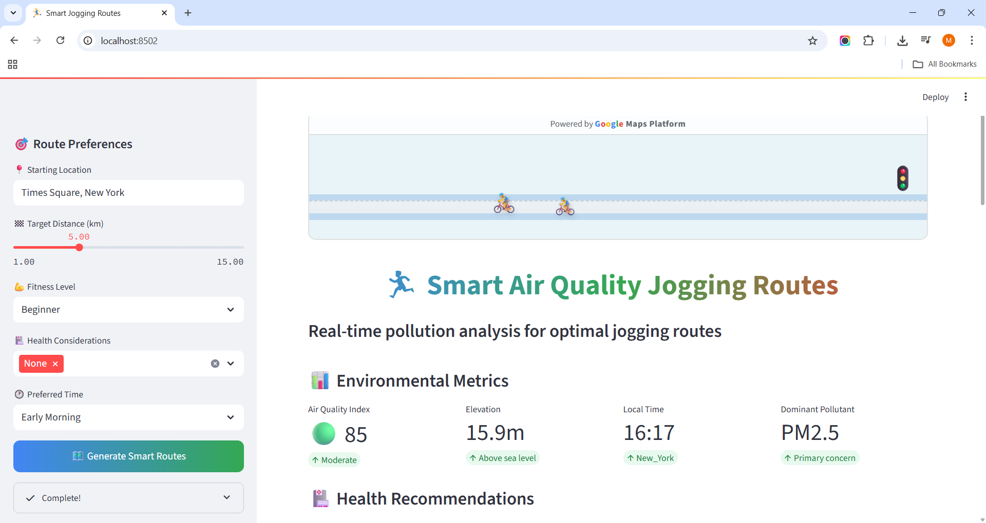
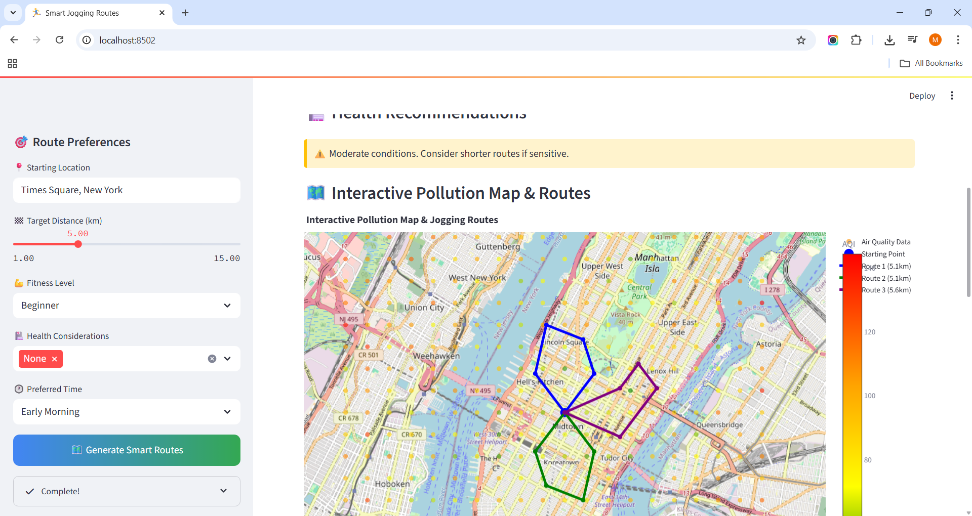
Smart Air Quality Jogging Routes is an intelligent fitness companion that revolutionizes outdoor exercise planning by combining real-time environmental data with personalized health recommendations.
How we built it
Core Algorithm The route optimization uses a multi-objective optimization approach: Route Score=α⋅AQI−1+β⋅Distance+γ⋅Elevation\text{Route Score} = \alpha \cdot \text{AQI}^{-1} + \beta \cdot \text{Distance} + \gamma \cdot \text{Elevation}Route Score=α⋅AQI−1+β⋅Distance+γ⋅Elevation Where: . $\alpha, \beta, \gamma$ are weight parameters based on user preferences . $\text{AQI}^{-1}$ represents inverse air quality (lower AQI = better score) . Distance and elevation factors are normalized for user's fitness level
Challenges we ran into
API Rate Limits Real time Data Synchronization Sparse Environmental Data
Accomplishments that we're proud of
Successfully orchestrated different Google Maps Platform APIs in a single cohesive application and ceated the fitness app that actively protects users from air pollution exposure.
What we learned
API Integration Mastery Environmental Data Processing Interactive Visualization
What's next for Smart Jogging Routes
Architecture supports expansion to cycling, walking, and other outdoor activities.
Built With
- google-maps
- python
- streamlit


Log in or sign up for Devpost to join the conversation.