-
-
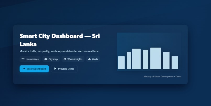
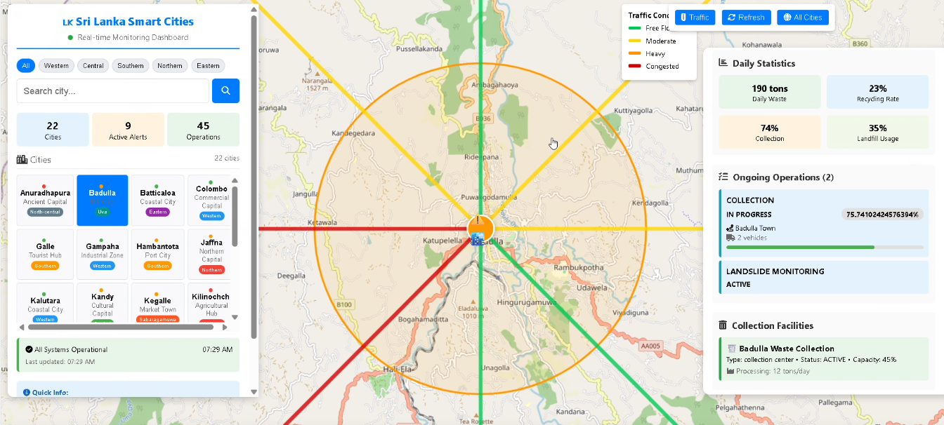
Welcome screen
-
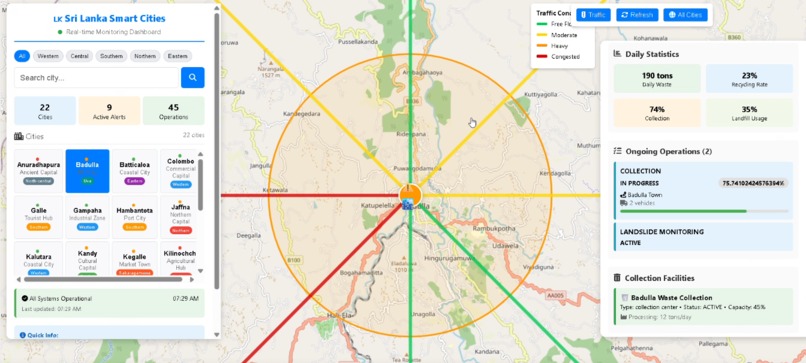
website interface
-
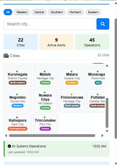
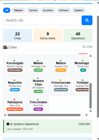
Cities in Sri Lanka
Project Report: Smart City Management System
The inspiration for this project came from the growing complexities of urban living in Sri Lanka. We noticed that citizens often lack a centralized, real-time source of information regarding their immediate surroundings. From unpredictable traffic to sudden natural disasters like floods and landslides, there was a clear need for a "digital guardian" that ensures the safety and efficiency of every citizen's journey.
The Smart City Management System is an interactive platform designed to provide a "digital twin" of urban environments. Key features include: Real-time Traffic Monitoring: Visualizes flow levels (from free-flow to congested) on major road networks using a color-coded system. Live Weather Updates: Fetches localized weather data to help users prepare for changing conditions. Emergency Warning System: Provides critical, real-time alerts for natural disasters (floods, landslides) and infrastructure issues (power outages). Smart Garbage Collection: To promote sustainability, the app includes a scheduling system for garbage removal, helping cities manage waste more efficiently.
Our team, Team Nevermore, built this using a modern web stack: Frontend: Developed with HTML5, CSS3, and JavaScript for a responsive experience. Mapping Engine: Utilized Leaflet.js and OpenStreetMap to render interactive maps of Sri Lanka. Traffic Logic: Built a custom simulation engine that calculates traffic density based on time-of-day and rush hour patterns. Version Control: Managed the project through GitHub, ensuring seamless collaboration between team members.
One of the primary challenges was simulating realistic traffic data that felt "live" without constant access to expensive government APIs. We solved this by creating a mathematical model that adjusts road conditions based on real-world variables like the time of day and the specific type of road (e.g., expressways vs. mountain roads). Additionally, ensuring the UI remained clean while displaying multiple data layers (weather, traffic, and alerts) required several design iterations.
One of our greatest accomplishments is that, as engineering students, we successfully built a functional and visually impressive project for a computing faculty competition, despite not initially having extensive coding experience. We are incredibly proud of the Emergency Warning System, as integrating critical disaster alerts—such as landslide warnings—directly into a navigation-focused app adds a layer of safety that can truly save lives. We also succeeded in keeping the tool lightweight and accessible, ensuring it runs smoothly on various devices.
Through this project, I deepened my understanding of geospatial data visualization and the importance of sustainability in software design. I learned how to use GitHub for managing project repositories and how to structure complex JavaScript objects to handle real-time state management.
The next phase for the Smart City Management System involves: IoT Integration: Connecting actual physical sensors (air quality monitors and water level sensors) to the live map. AI Routing: Implementing a machine learning algorithm to suggest the safest route, not just the fastest, during disaster events. Mobile App Expansion: Moving beyond the web wrapper to a fully native mobile experience with advanced push notifications for emergency alerts.
Built With
- html
- javascript
- vscode
