-
-
-
Program Sections
-
-
-
-
-
-
-
-
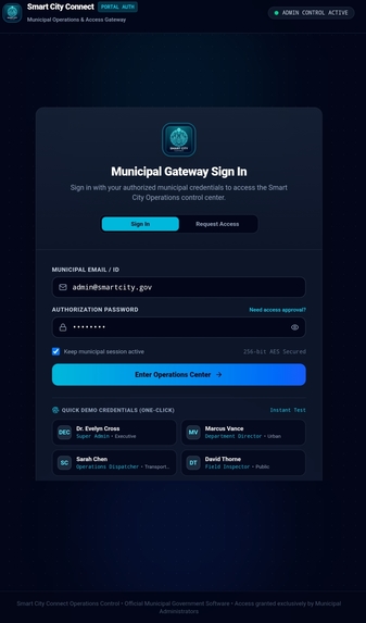
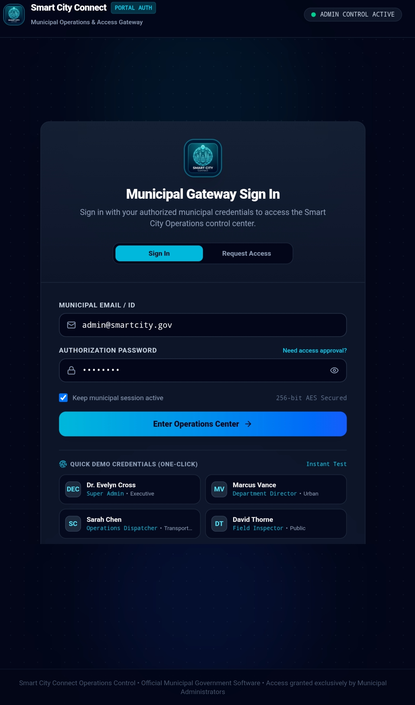
Login page
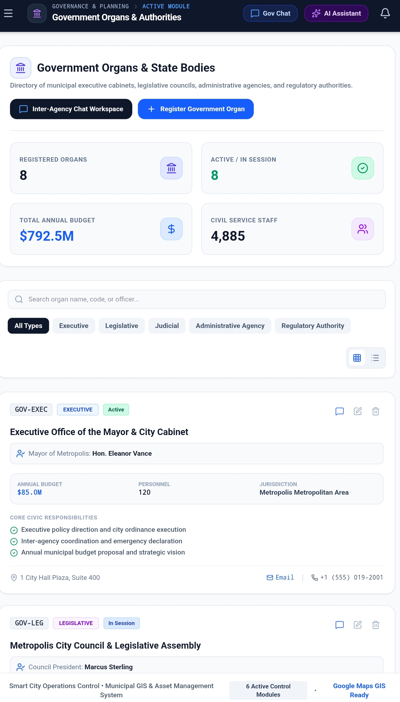
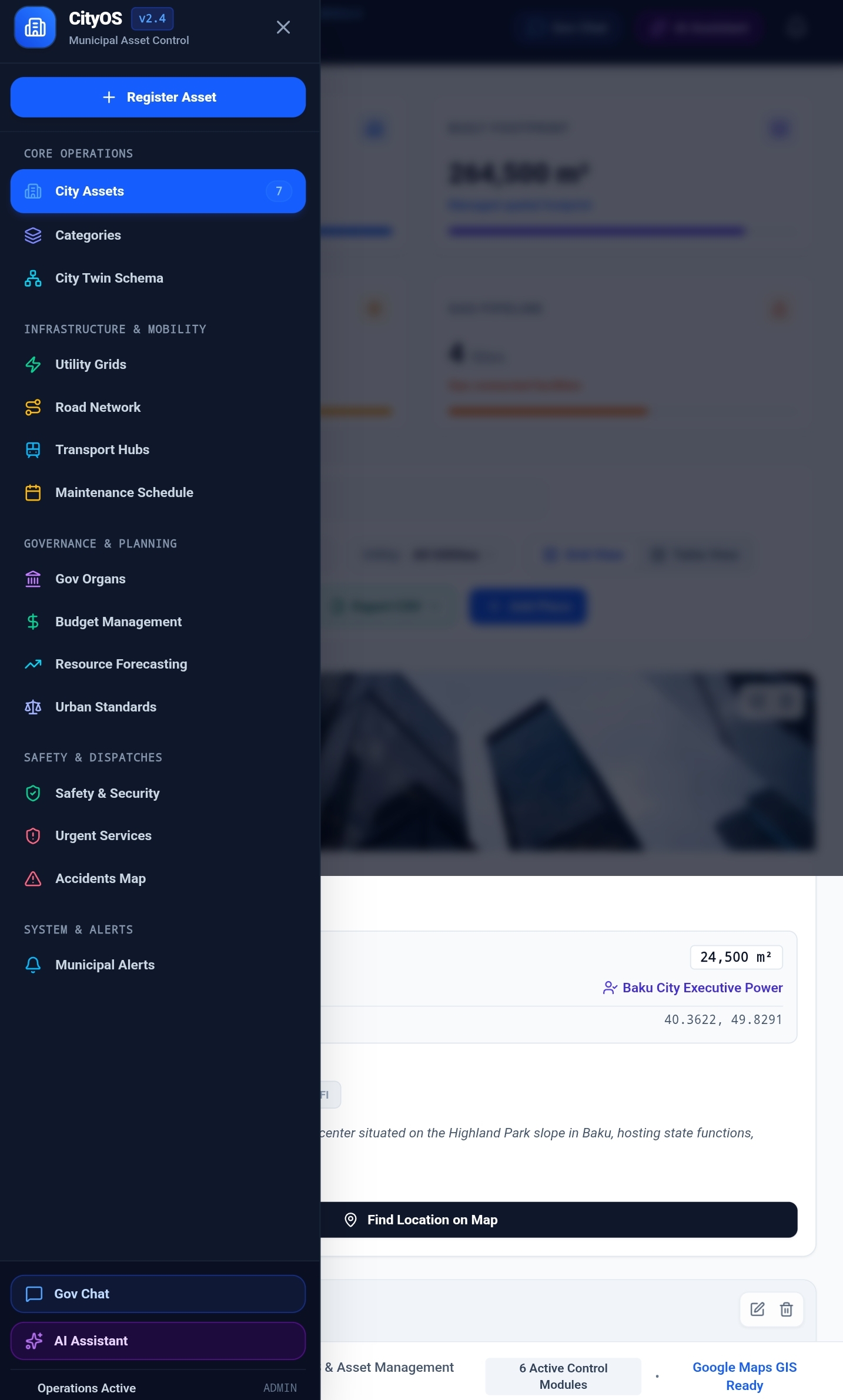
Smart City Management Platform (CityOS)
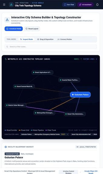
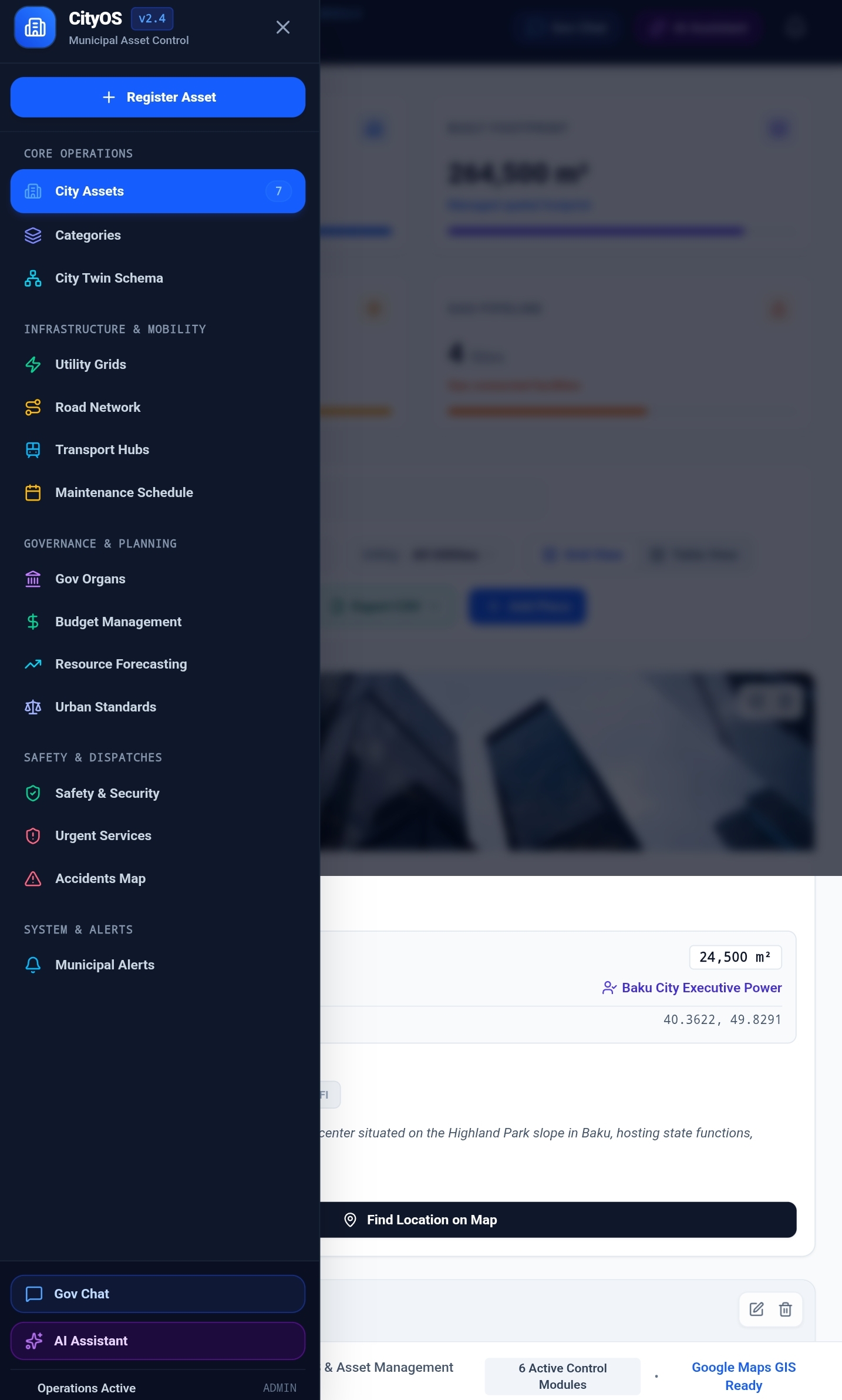
A comprehensive, full-stack municipal management and urban operations platform designed for smart city administrators, department heads, and urban planners. The platform unifies urban infrastructure monitoring, emergency response coordination, road network management, preventive maintenance scheduling, departmental budget tracking, predictive resource forecasting, and inter-agency collaboration into a centralized digital control center.
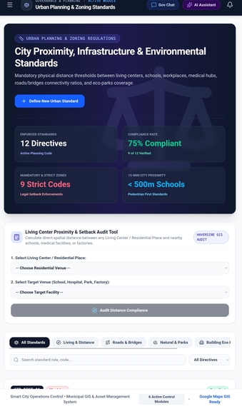
I have always thought about the concept of a "smart city," particularly regarding the prevention of traffic congestion. Naturally, preventing traffic jams has a positive impact on many aspects: the climate, fuel conservation, and—most importantly—time, which is so valuable to people. To me, a smart city is defined by how well it organizes transportation without compromising its aesthetic appeal, as well as the accessibility of essential services like gas, water, electricity, and emergency care. It also involves the strategic placement of vital facilities—such as kindergartens and schools—in the vicinity of residential buildings. That is why I consider the initial planning—and the establishment of standards—to be crucial. Google Maps is an invaluable tool for this planning process; it allows one to observe real-world conditions and easily identify necessary adjustments.
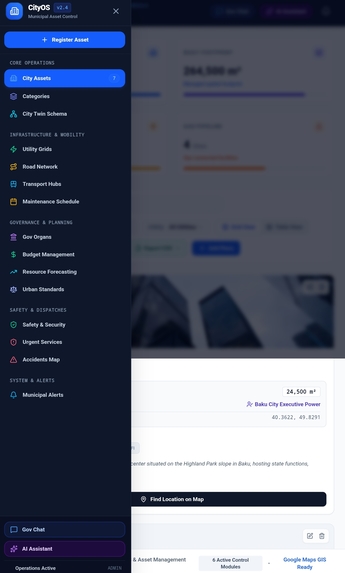
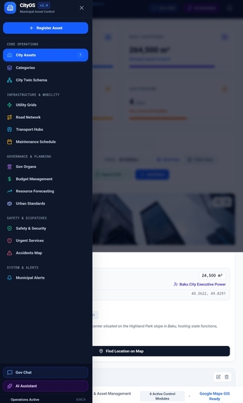
🌟 Key Modules & Capabilities
1. 🏙️ Municipal Places & Categorization
- Interactive Directory: Search, filter, and inspect city locations, facilities, and landmarks.
- Categorization Engine: Hierarchical categorization (Residential, Commercial, Industrial, Civic, Green Spaces, etc.) with custom icon and color mapping.
- CSV Data Pipeline: One-click export and import of places and categories data with schema validation and automated parsing.
2. ⚡ Public Utilities Management
- Real-time status monitoring for Water Supply, Power Grid, Gas Distribution, Waste Management, and Telecom/Fiber Networks.
- Health metrics, capacity utilization gauges, outage logs, and dispatch workflows.
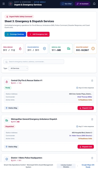
3. 🚨 Emergency Services & Incident Command
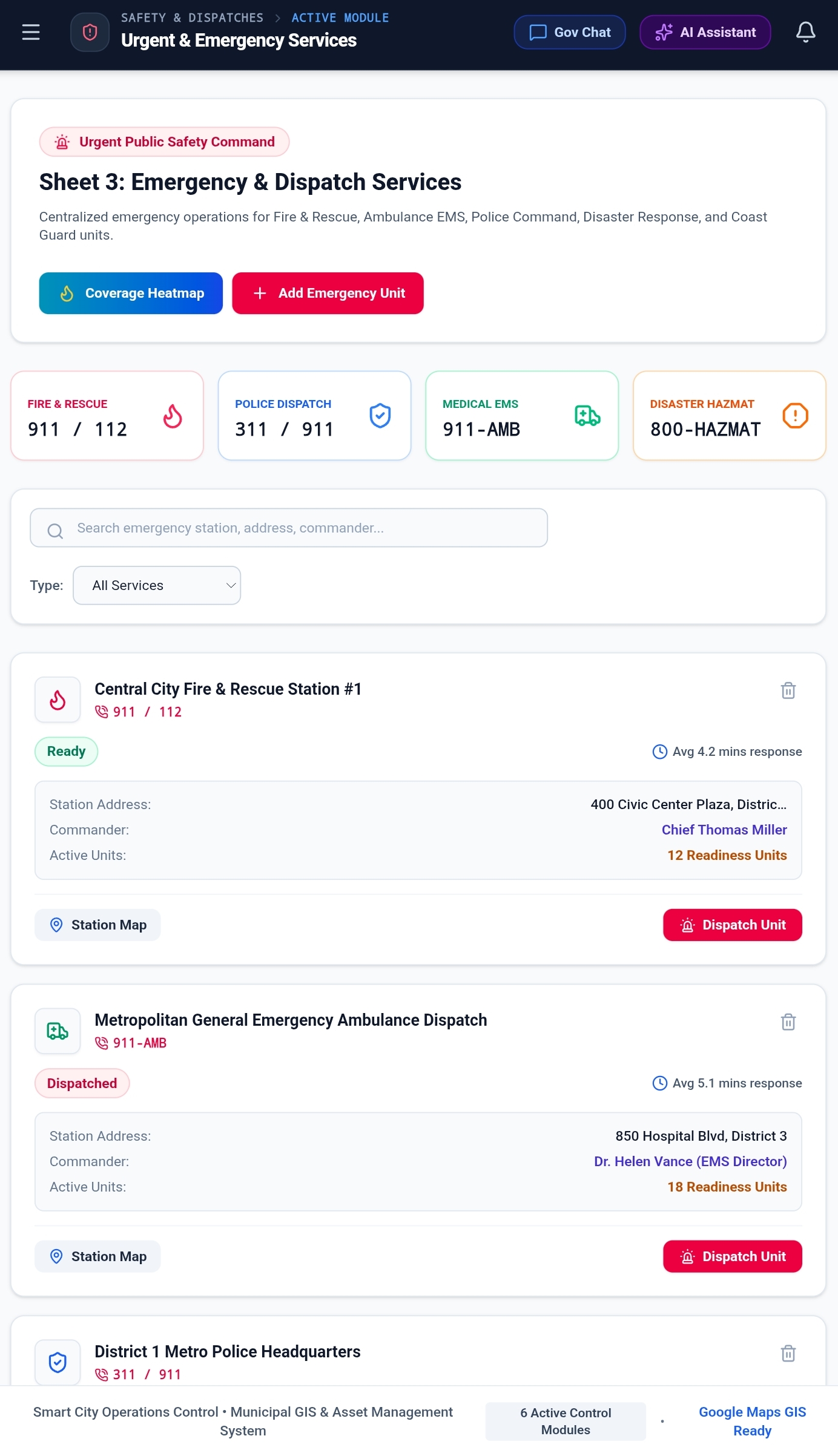
- Dispatch coordination for Police, Fire & Rescue, Medical/EMS, and Coastal/Specialized Units.
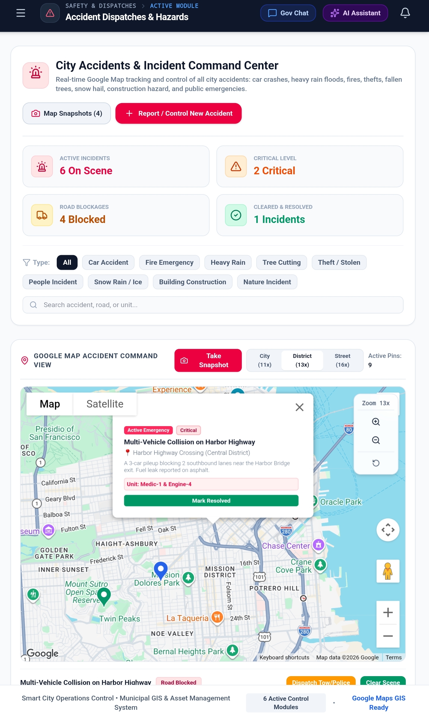
- Real-time incident logs, priority classification, ETA tracking, and active unit allocation.
- Emergency shut-off protocol triggers linked to utility grids and traffic lights.
4. 🛣️ Road Network & Traffic Infrastructure
- Roadway condition index (Good, Fair, Degraded, Critical), lane capacities, and speed limits.
- Real-time congestion monitoring, detour routing, and road closure announcements.
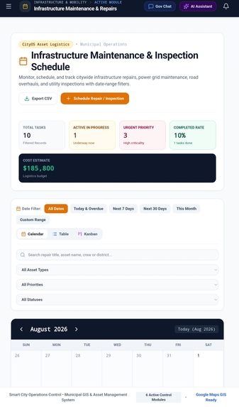
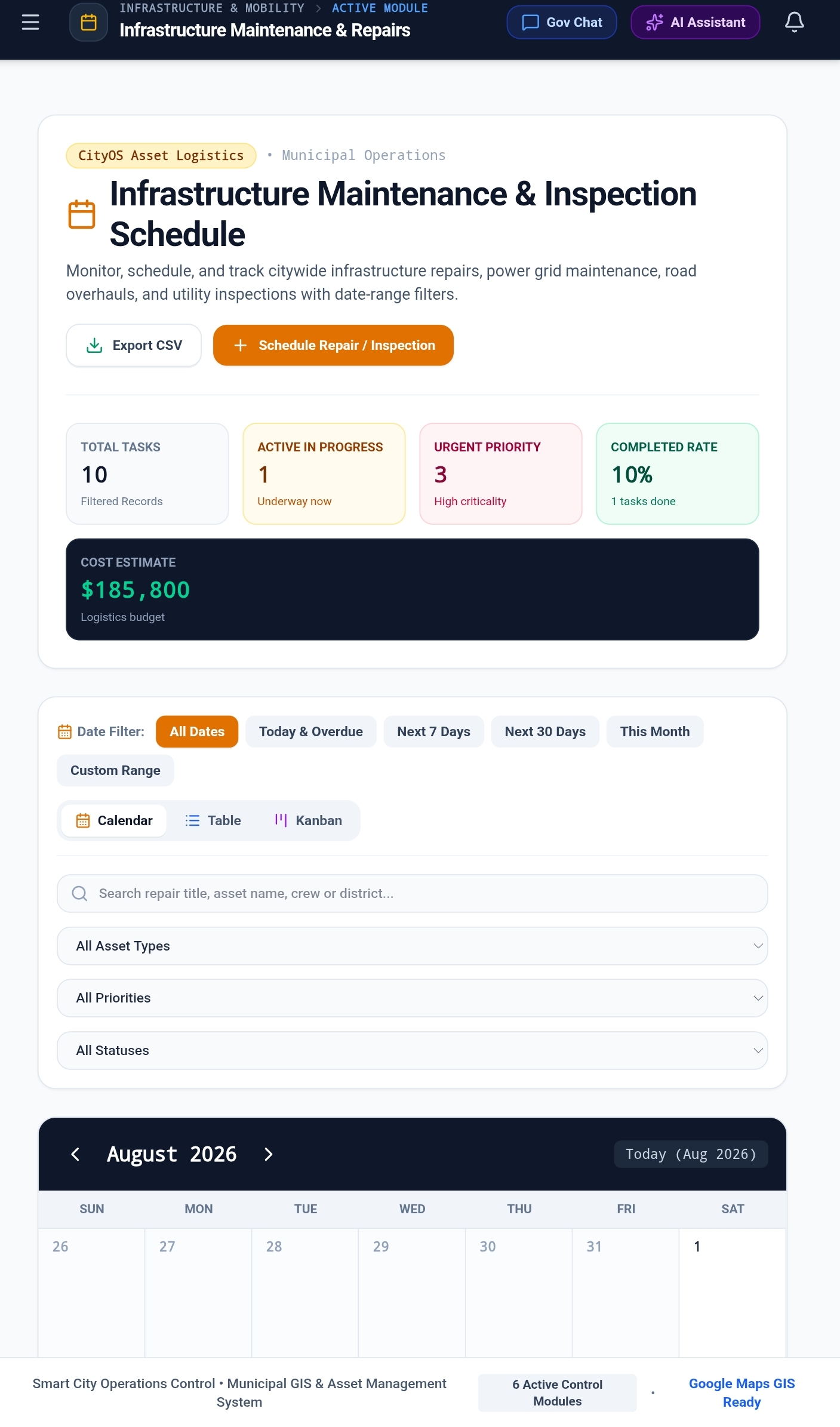
5. 🛠️ Maintenance Schedule & Work Orders
- Preventive, routine, and emergency maintenance task scheduler.
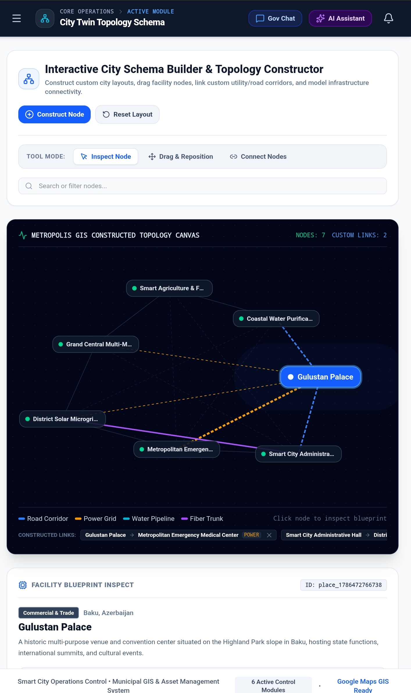
- Asset linking across roads, power substations, water mains, and transit hubs.
- Crew allocation, cost estimation, duration tracking, and progress state management (Pending, In Progress, Under Review, Completed).
6. 💰 Municipal Budget Management
- Multi-sector capital allocation (Infrastructure, Public Safety, Transit & Mobility, Environment & Energy, Health & Human Services, Governance & Tech).
- Real-time expenditure logging with vendor verification and approval tracking.
- Visual 12-month spending progress bars and utilization heatmaps per department.
7. 📈 Predictive Resource Forecasting
- Synthesizes historical maintenance workloads and departmental expenditures to forecast future municipal resource demands.
- Macro Scenario Simulation: Real-time adjustable parameters for inflation rates, extreme weather/climate multipliers, preventive maintenance shifts, and fiscal reserve targets.
- Automated Reallocation Proposals: Suggests data-driven budget transfers between surplus and deficit departments with one-click approval.
- AI Executive Analysis: Gemini-powered strategic briefings summarizing fiscal gaps, cost drivers, and quarterly action steps.
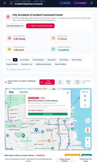
8. 🛡️ Public Safety, Accidents & Transportation
- Safety & Security: CCTV coverage maps, perimeter patrol zones, and automated sensor telemetry.
- Accident Analysis: Accident hot-spot heatmaps, severity tracking, and road safety mitigation reports.
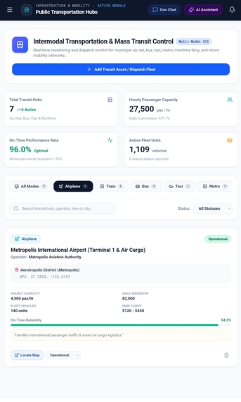
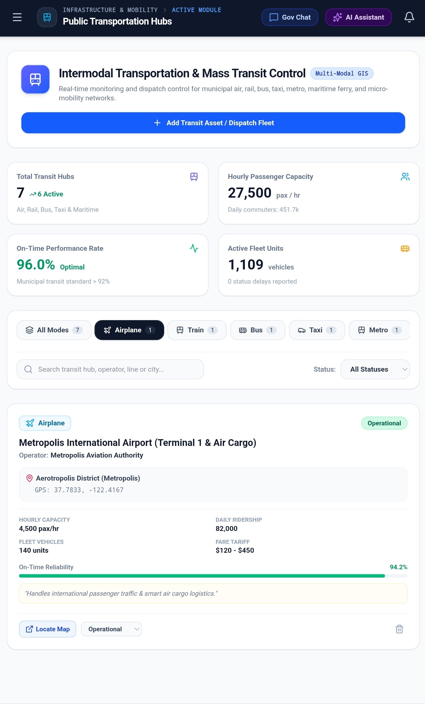
- Transit & Fleet: Real-time bus, rail, and bike-share fleet tracking, capacity indices, and route health.
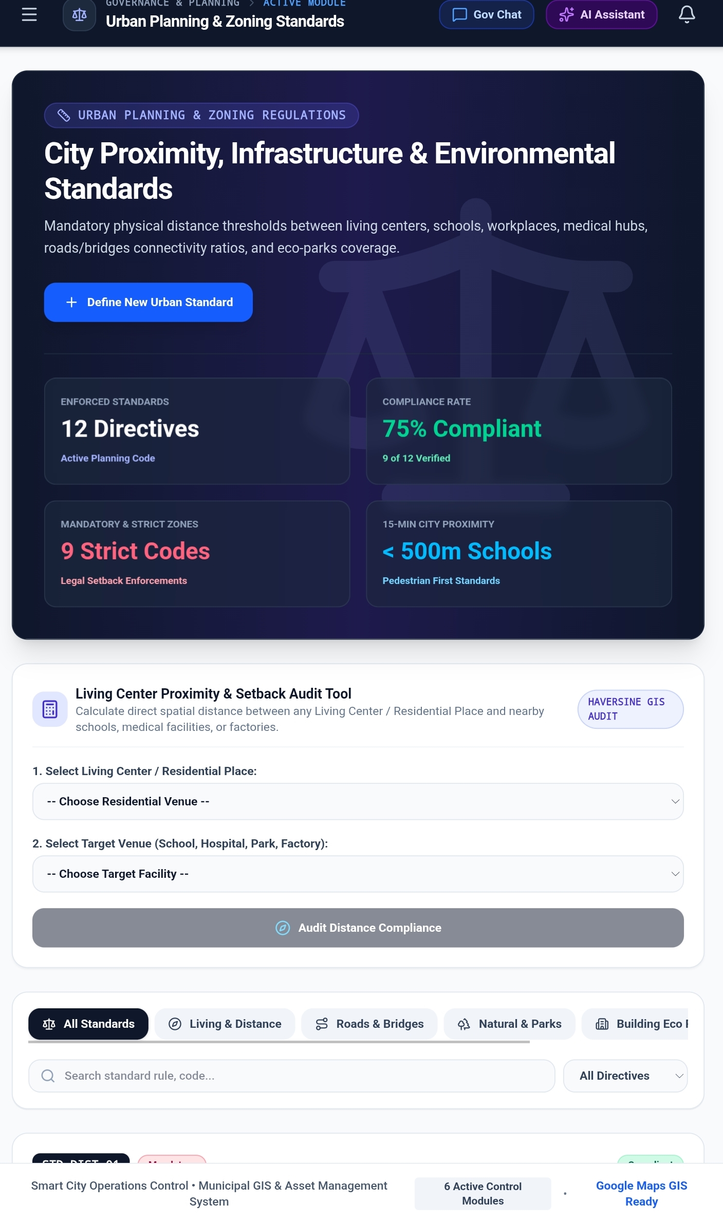
9. 📐 Urban Standards & Compliance
- Regulatory standards tracking covering environmental emissions, building codes, acoustic noise limits, and ADA accessibility compliance.
10. 💬 Inter-Agency Chat & AI Assistant
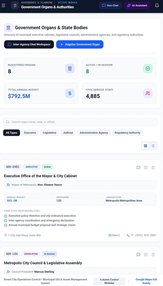
- Live inter-departmental communications channel for coordinated responses between police, fire, public works, and city hall.
- Server-side Gemini AI assistant for querying city diagnostics, drafting municipal announcements, and analyzing data.
🛠️ Technology Stack
- Frontend:
- React 18 + TypeScript
- Tailwind CSS for modern UI styling
- Lucide React for icon design
- Motion for transitions
- Interactive Google Maps integration with custom markers
- Backend & APIs:
- Express on Node.js
- @google/genai for server-side Gemini AI intelligence
- Vite development and asset pipeline with CommonJS server bundle via
esbuild
- Data Persistence:
- Browser local persistence for instant state hydration and offline-first usability
- CSV parser and generator for spreadsheet interop
📄 License
This project is licensed under the MIT License.


Log in or sign up for Devpost to join the conversation.