Why we built it
During an emergency, police, fire services and crisis-management teams may need to operate drones above the same area. Each service can plan its own flight, but a shared operation needs a common view of routes, missions and restricted zones.
At SpaceShield Hack 2026, we decided to build a dispatcher for the whole operation instead of another interface for controlling a single drone.
What SkyMarshal C2 does
SkyMarshal C2 gives operators one map for coordinating missions across several agencies. The prototype:
- loads live orthophotomaps from Poland's national Geoportal WMS services
- keeps missions, drones, routes and operational zones in one shared view
- assigns several drones to one incident at separated operating altitudes
- detects routes crossing a protected area and generates a bypass with a safety buffer
- blocks mission planning above 120 metres AGL in the simulated open-category scenario
- simulates flight-plan submission and transponder assignment
- warns operators about simulated electromagnetic interference near sensitive infrastructure
The mission builder keeps the form and map side by side. Operators can choose a target directly on the map without losing sight of the wider operation.
How we built it
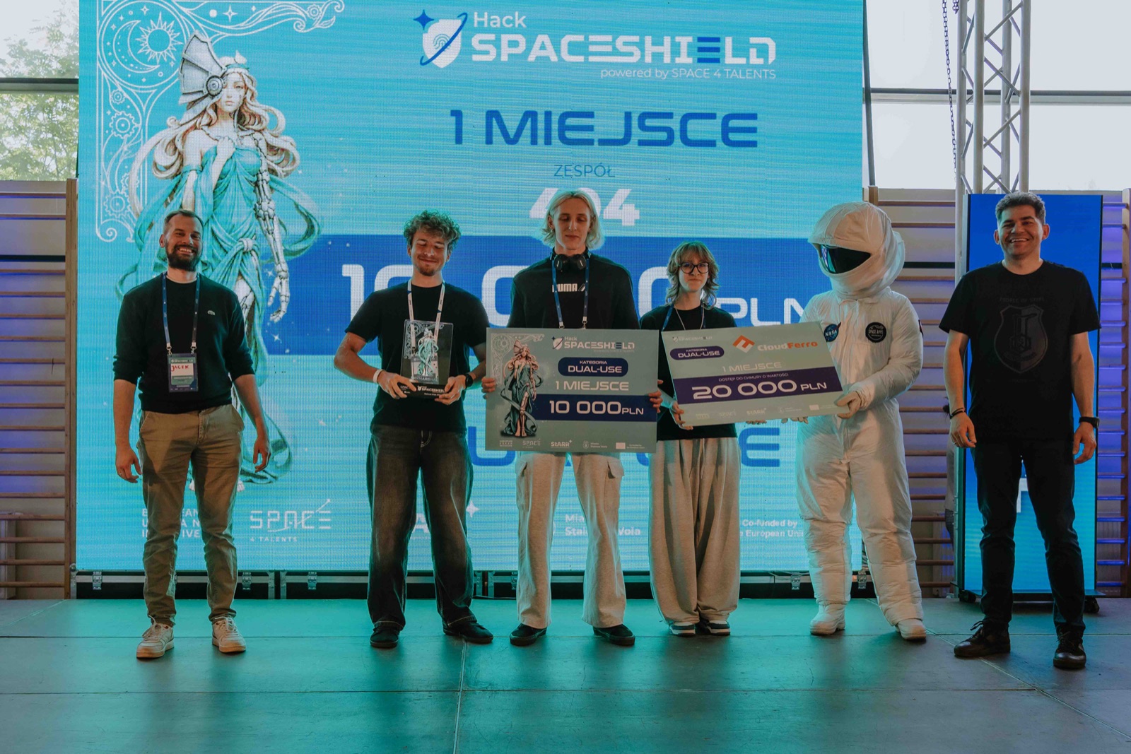
SkyMarshal C2 was built by team 404: Jakub Siuda, Andrea Kraśko and Bahdan Dubovik. I led the technical build while our team worked together on the concept, research and pitch.
We used React 19 and Vite for the application. React Leaflet and Leaflet.js powered the map, while live WMS layers from GUGiK Geoportal provided geographic context. Recharts handled data visualisation, and the interface combined Tailwind CSS with custom CSS. We also used the Web Audio API for operational alerts.
SkyMarshal C2 is a demonstration prototype. It is not connected to real government, military, emergency-response or commercial aviation systems.
The hard parts
The first challenge was scope. A full drone coordination platform could take months to build, so we selected one complete operational path that we could explain and demonstrate during the hackathon.
The map also had to remain useful while the operator edited a mission. Moving the workflow to a side panel let us keep routes, zones and aircraft visible throughout the process.
Restricted-zone routing required more than drawing another line. We had to detect an intersection with a protected polygon, calculate a bypass with a buffer and present the adjusted route clearly enough for a live demo.
We also had to distinguish real data from simulated integrations. The orthophotomaps came from live public WMS services, while flight-plan submission, transponder assignment and interference warnings remained clearly marked simulations.
What we learned
Scope mattered more than the number of features. One complete scenario gave the judges a clear view of the problem, the operator's decisions and the value of a shared dispatcher.
Working with real geographic data made the prototype more convincing, but it also forced us to document assumptions and explain where the demo ended and a production system would begin.
Result
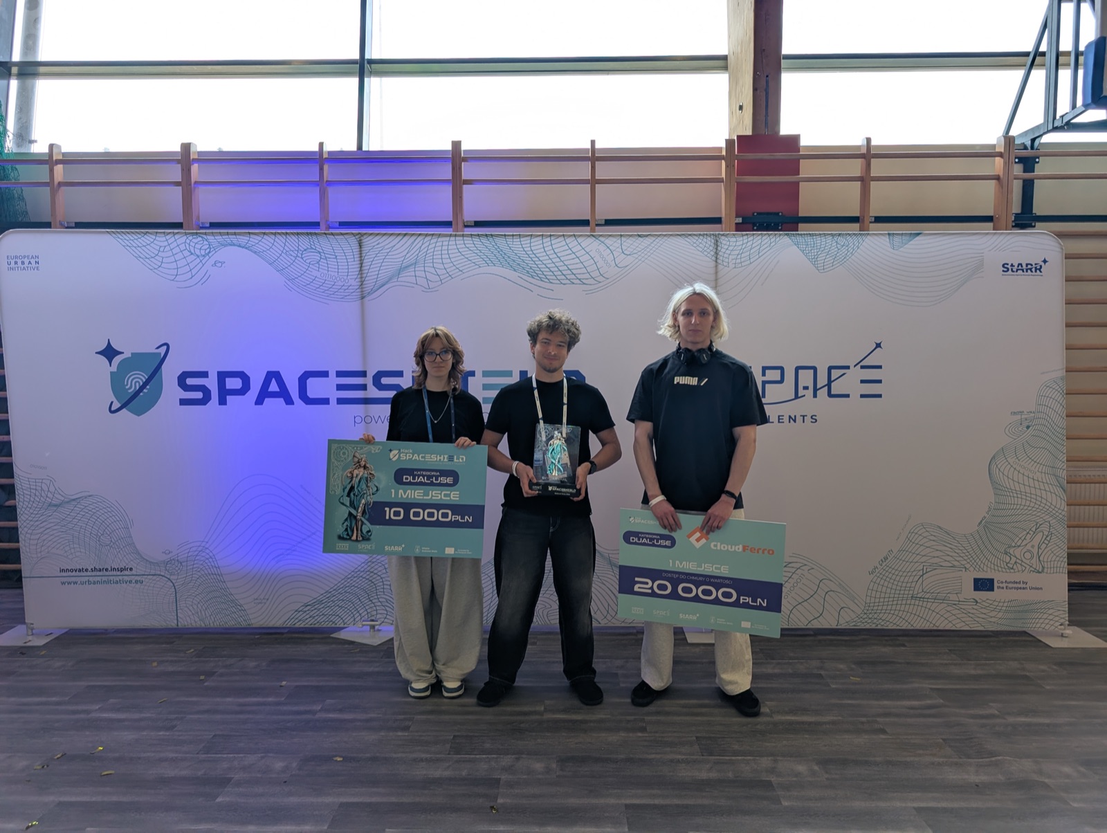
More than 200 people competed across four tracks at SpaceShield Hack 2026. SkyMarshal C2 won first place in the Dual-Use category. Our team received PLN 10,000 and PLN 20,000 in CloudFerro credits.
Next steps
A production version would need a secure backend, authentication, audit logs, real-time mission updates and validation with the services expected to use it. Any connection to official UTM or flight-planning systems would also require proper authorisation and integration with the relevant providers.
Built With
- react
- tailwind

Log in or sign up for Devpost to join the conversation.