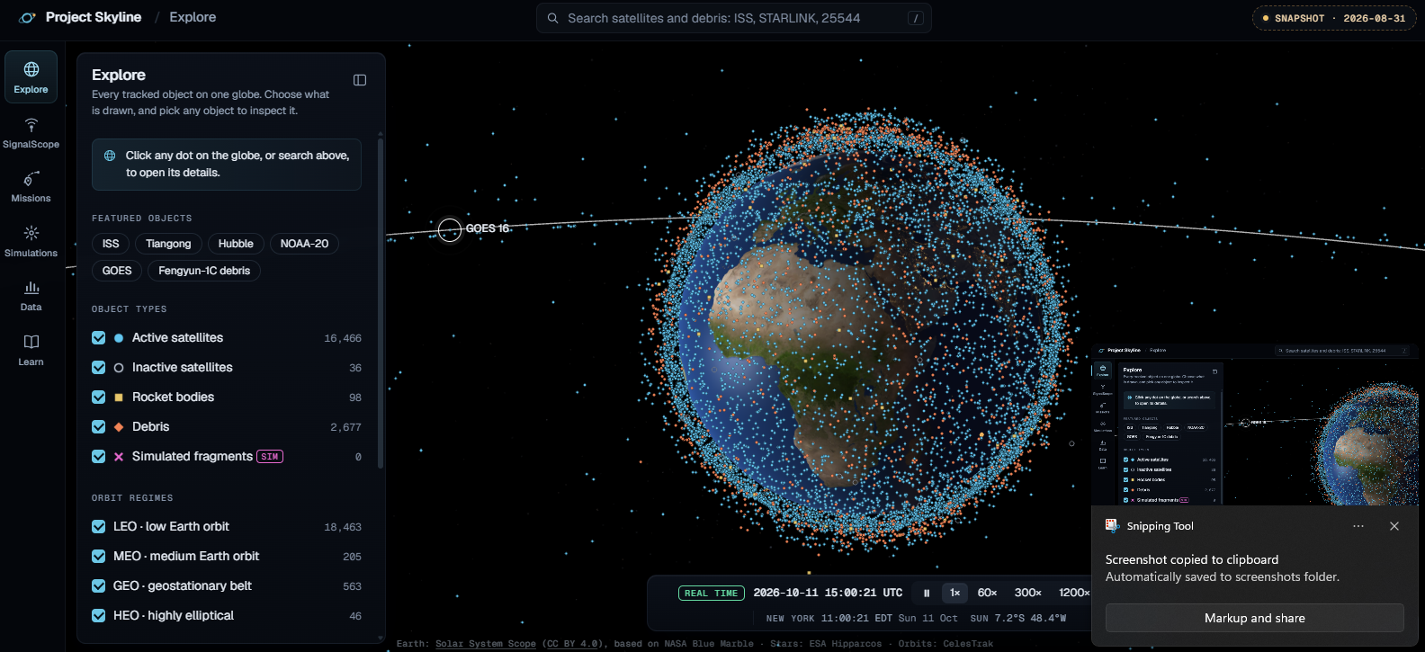
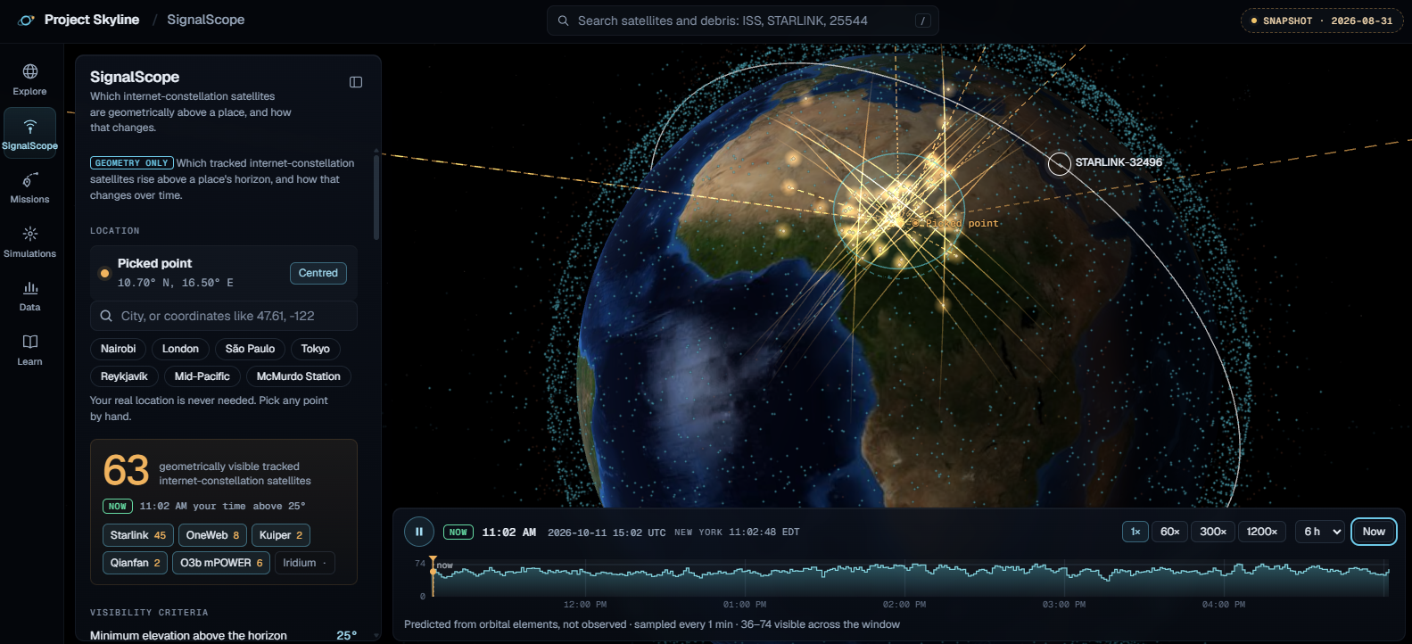
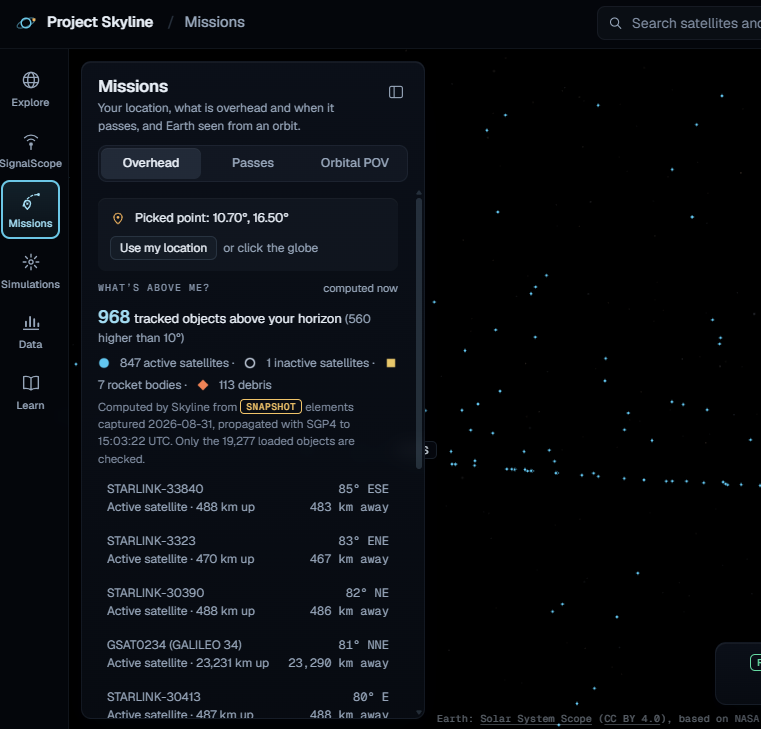
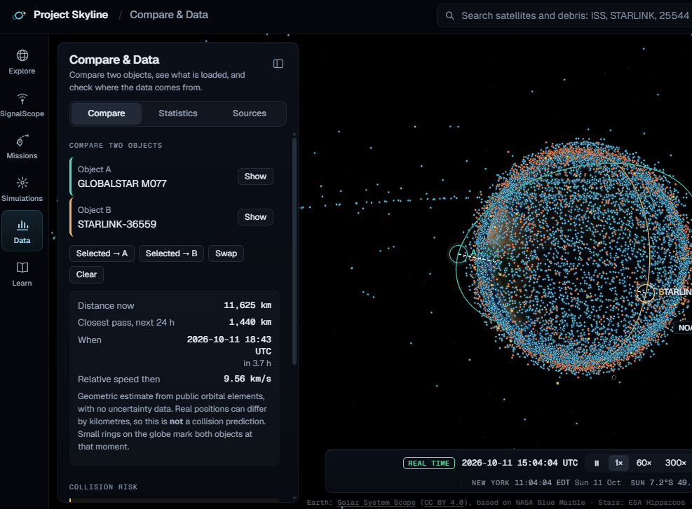
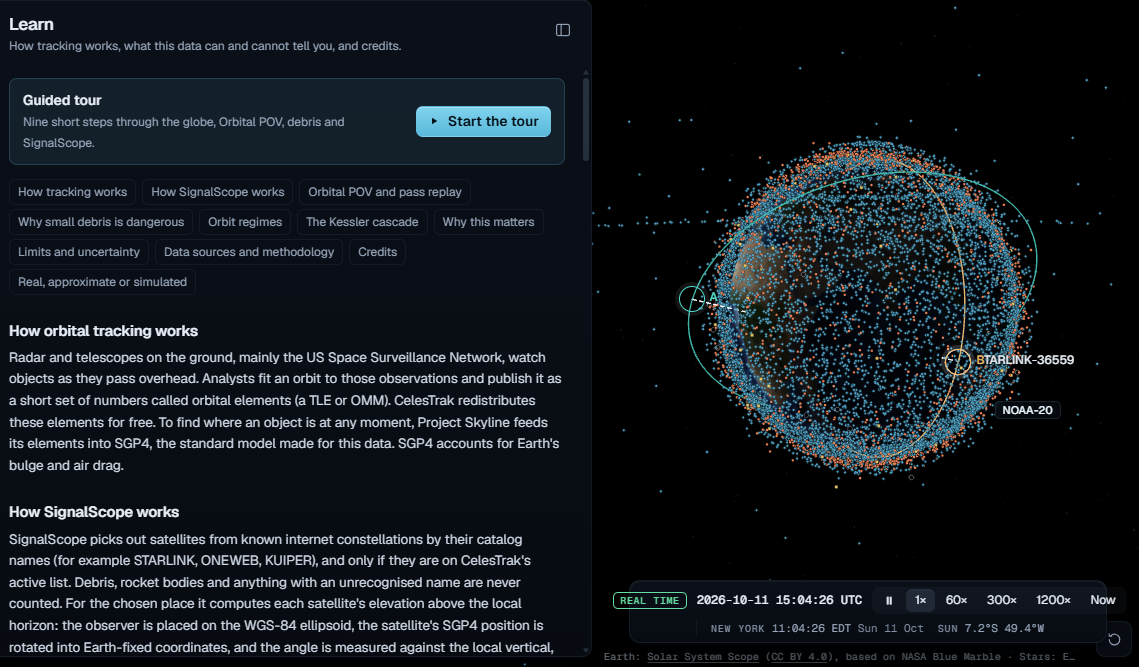
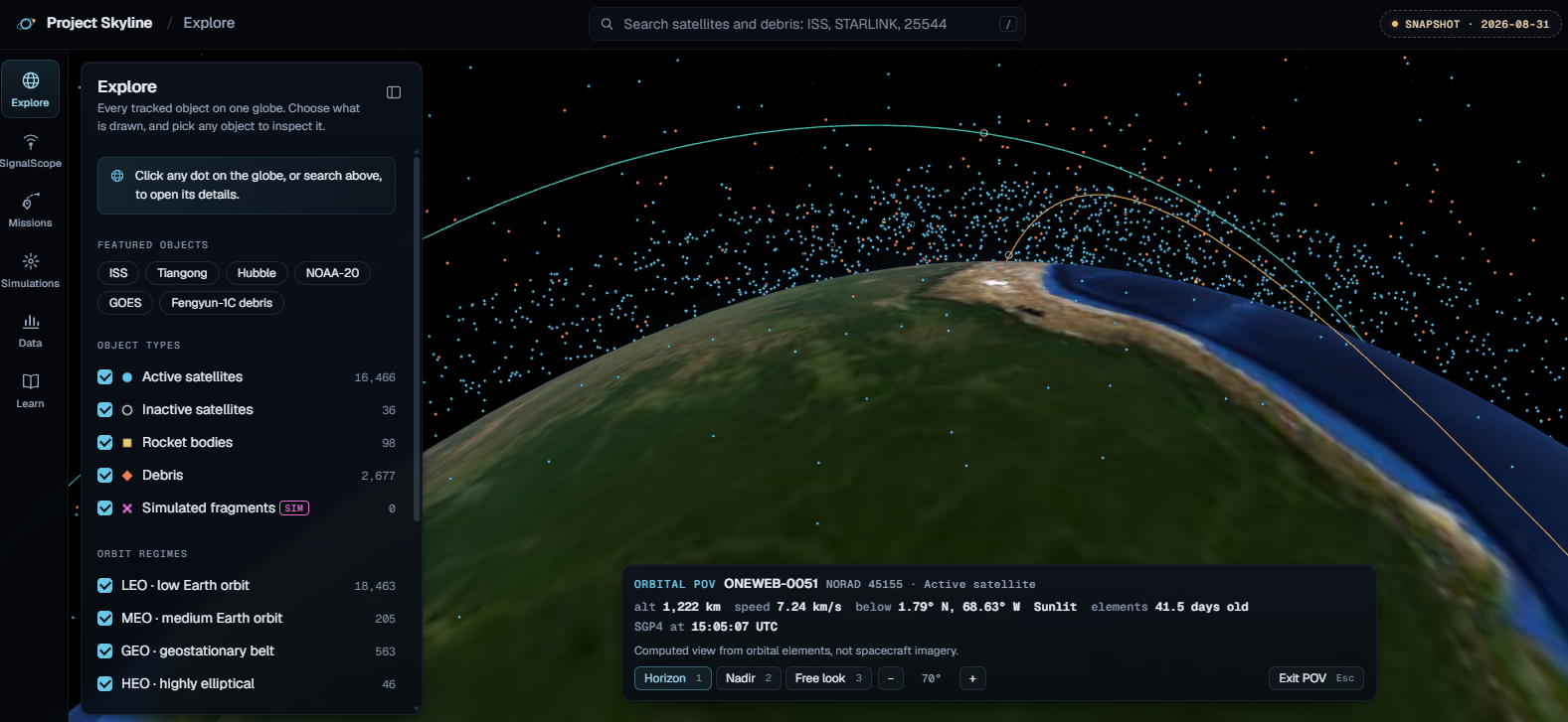
We were inspired by how satellites impact our everyday lives through communication, navigation, and weather forecasting, yet their movements are difficult to visualize. For the hackathon theme, Into the Sky, we created Skyline, an interactive platform that makes exploring Earth’s orbit more accessible. Using Three.js, CelesTrak, and satellite.js, we built a 3D Earth visualization that displays real satellites and calculates their positions over time using SGP4 orbital propagation. One of our biggest challenges was synchronizing orbital calculations, coordinate transformations, and the 3D visualization. Through this project, we learned how real-world orbital data powers satellite tracking and why accuracy matters. Ultimately, we hope Skyline inspires curiosity about space by connecting satellite movements to the sky above us.
Built With
- celestrak
- chatgpt
- claude
- cloudflare
- github


Log in or sign up for Devpost to join the conversation.