-
-
landingpage1
-
landingpage2
-

landingpage4
-
landingpage3
-
console_top
-
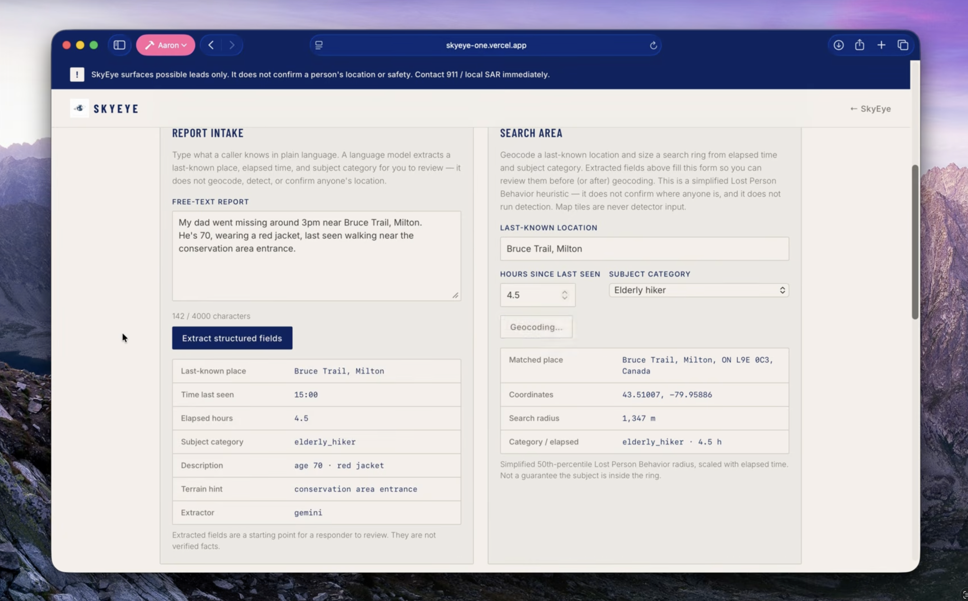
console_natural-language-processing_and_geocoding
-
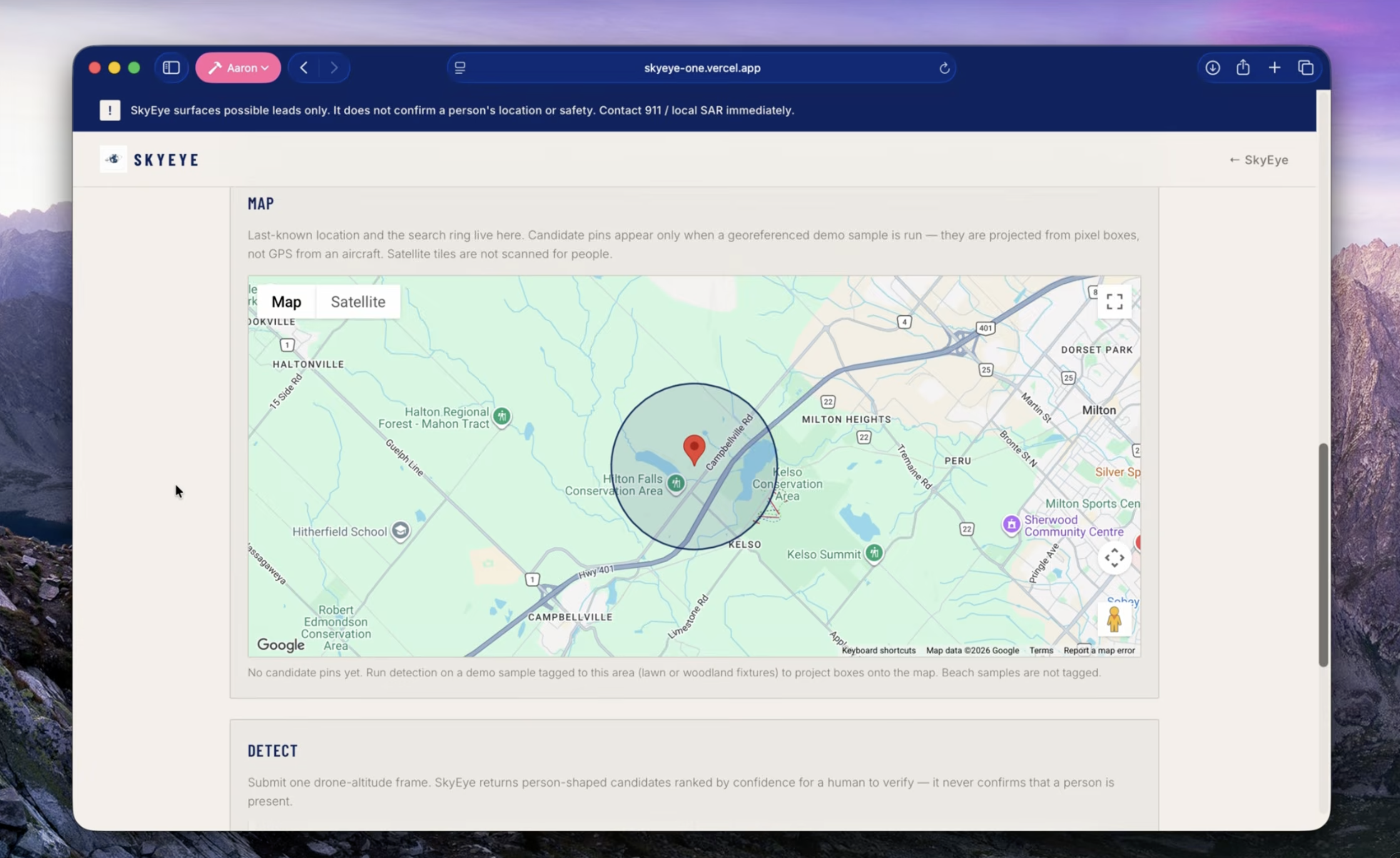
console_javascript-map
-
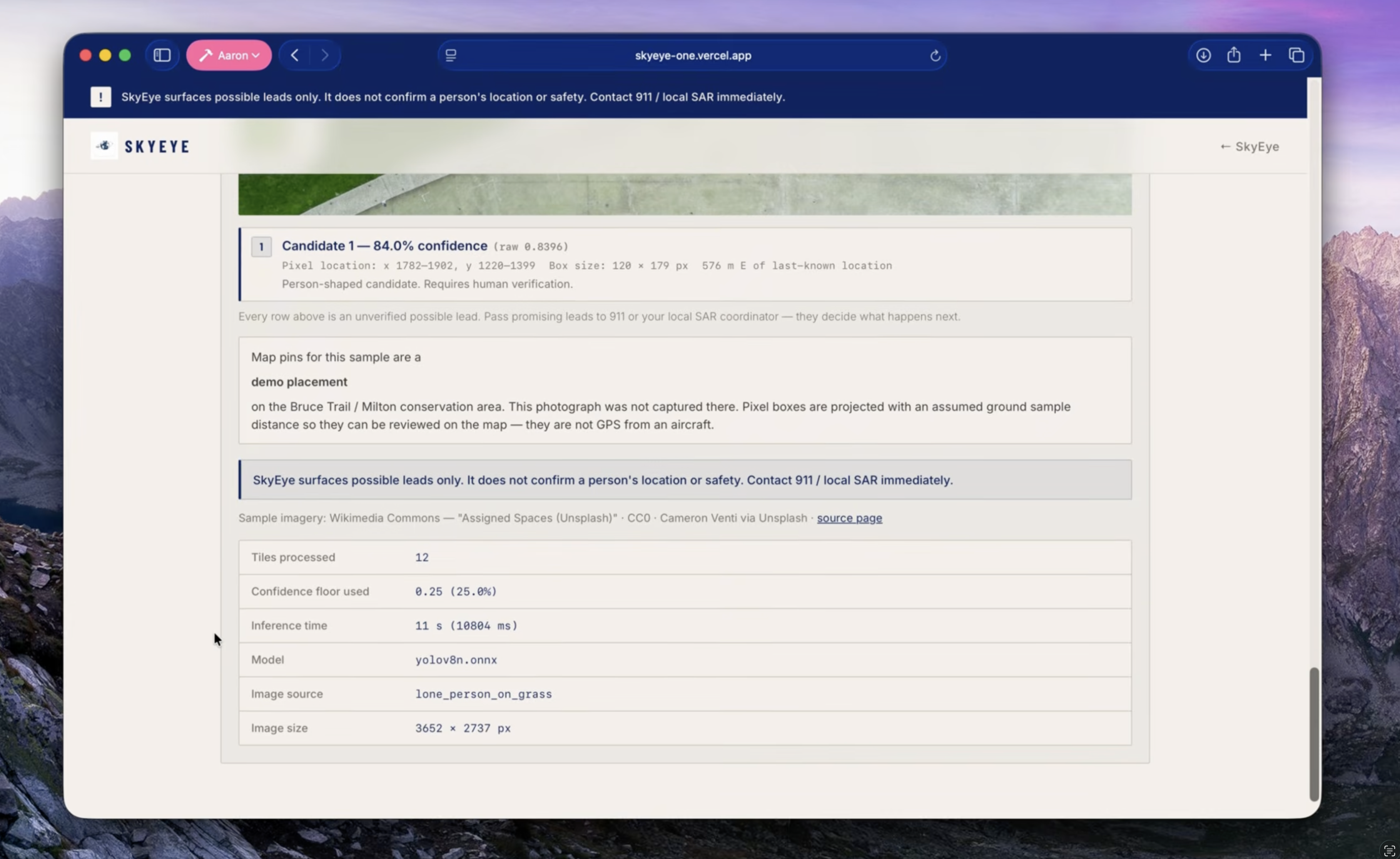
console_image-recognition
SkyEye
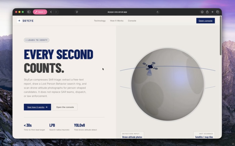
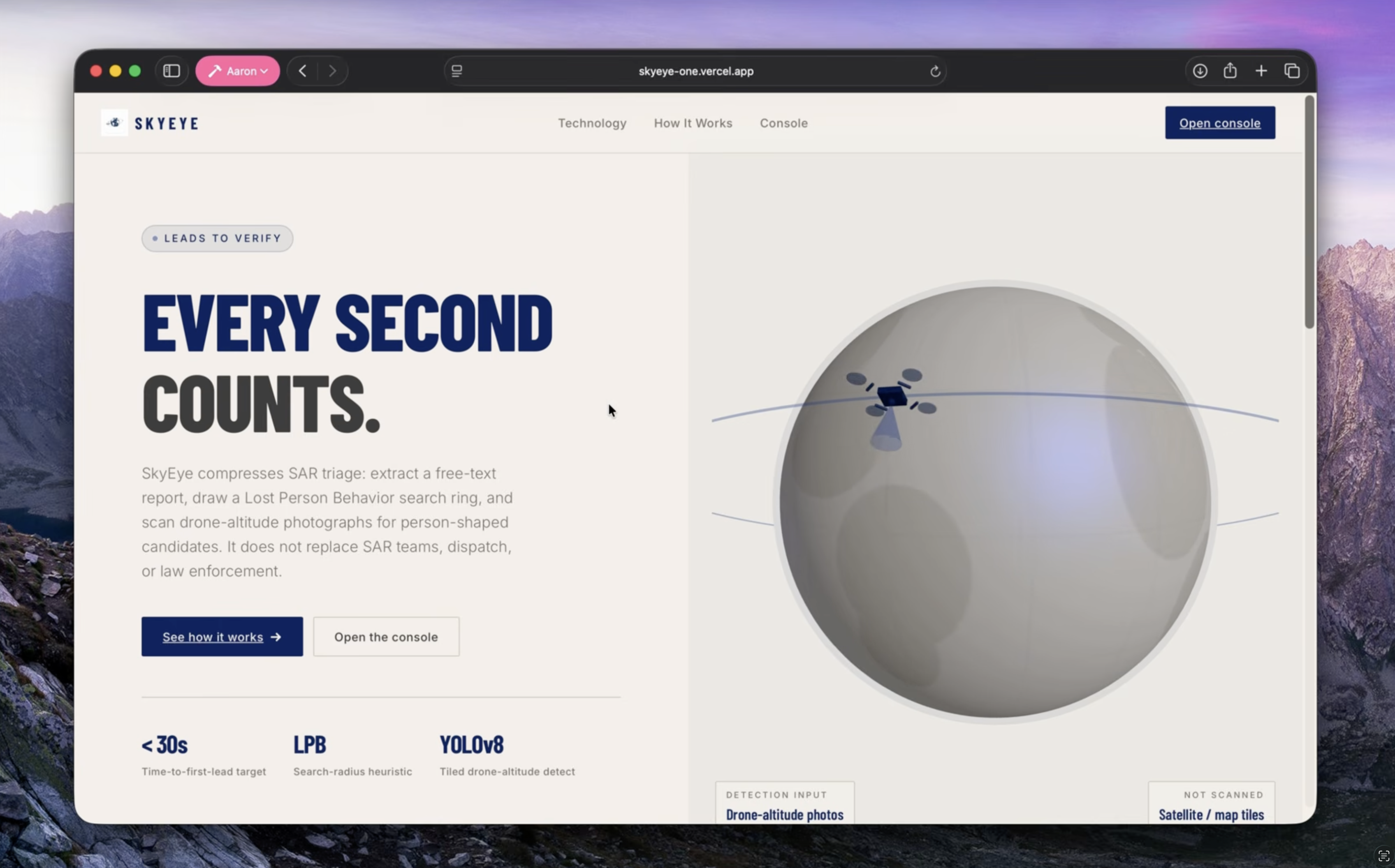
Hours of searching. Minutes to a lead. SkyEye spots people in drone photos so rescue teams know where to look first.
Inspiration
The first hours after someone goes missing matter most, and they are messy. A caller is scared, the report is unstructured, and the search area starts as a guess. If a drone goes up, someone still has to scan every frame for a person-shaped speck in trees, water, or trail.
I built SkyEye for RescueHacks (Emergency Response / Community Rescue). “Run YOLO on a satellite map” fails in thirty seconds with a GIS-literate judge. Commercial satellite imagery tops out around 30 to 50 cm per pixel. From nadir, a person is about half a metre across:
$$ n_{\mathrm{pixels}} \approx \frac{w_{\mathrm{person}}}{\mathrm{GSD}} \approx \frac{0.5\,\mathrm{m}}{0.4\,\mathrm{m/px}} \approx 1\mathrm{\ to\ }2 $$
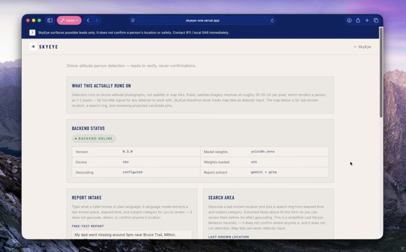
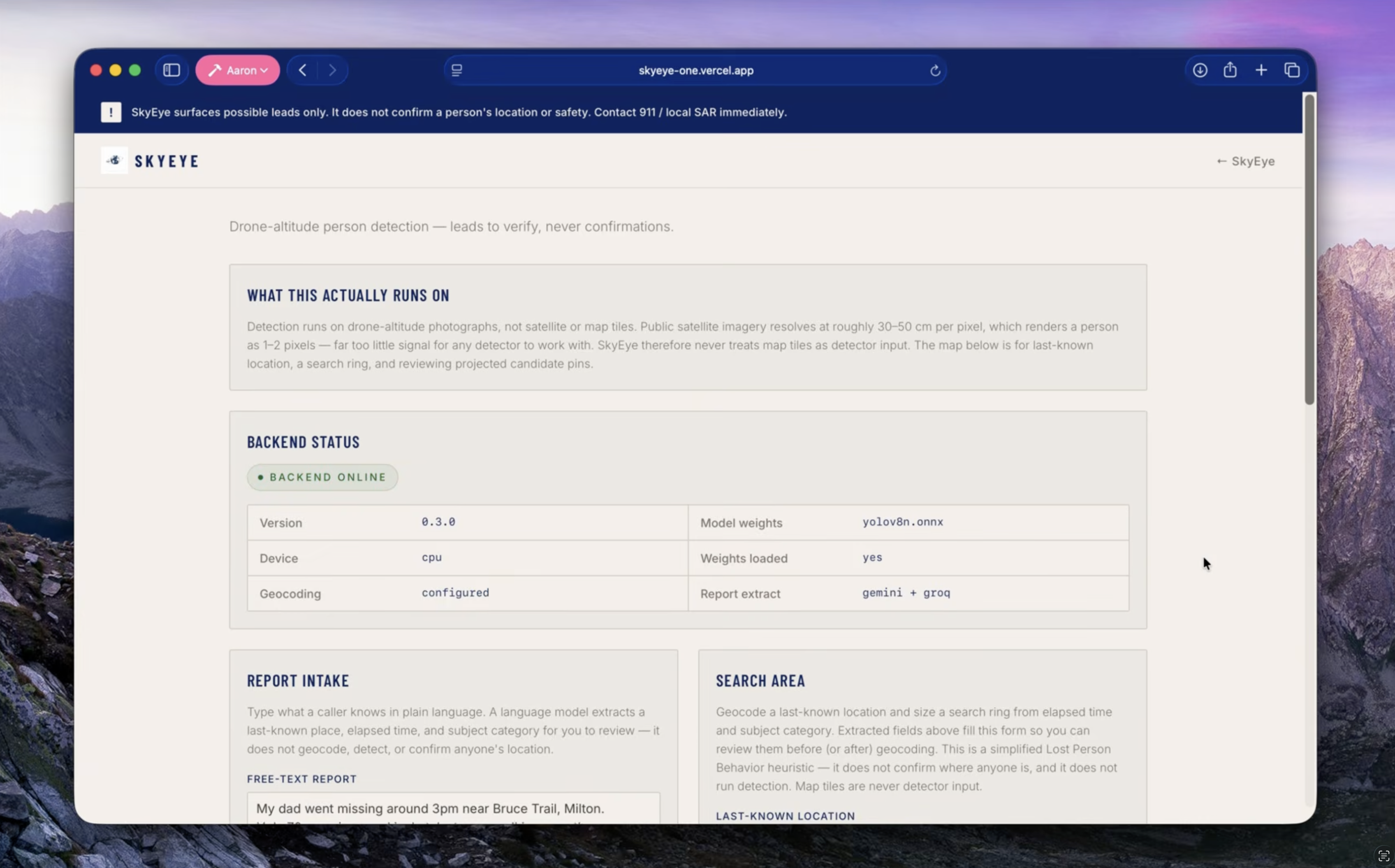
A detector has nothing to find. That constraint became the product: decouple where to look from what to look at. Maps and Lost Person Behavior size the ring. Detection runs only on drone-altitude photographs, the altitude real SAR drones fly.
The other spark was Robert Koester’s Lost Person Behavior tables. Real teams size a ring from subject category and time. A simplified version of that in the demo beats a generic “AI finds missing people” wrapper.
SkyEye is a triage accelerant for SAR teams, dispatch, and police. Every output is a lead to verify.
What it does
SkyEye is two loops that meet on a map.
1. Report → search area
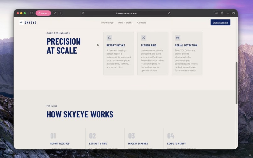
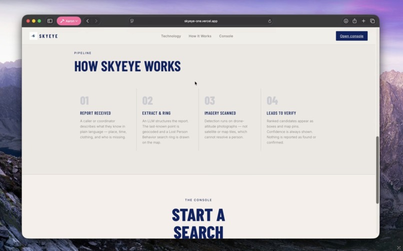
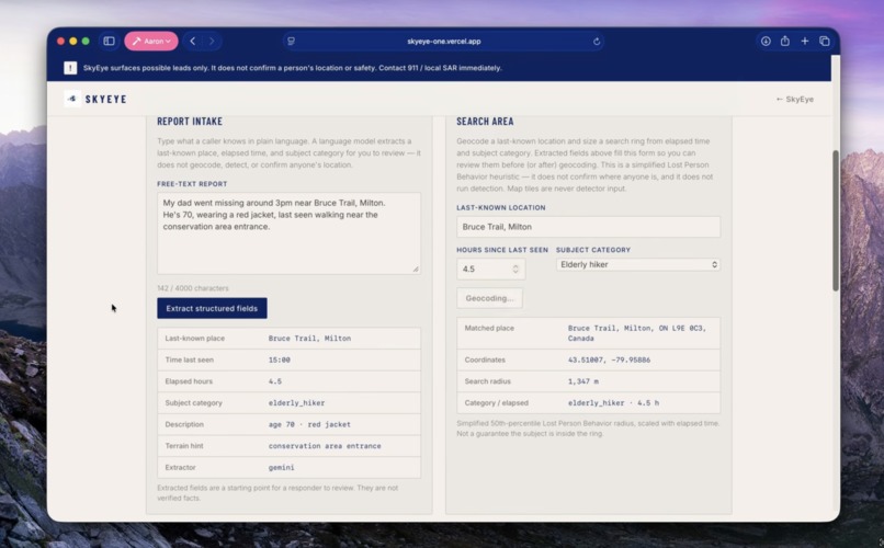
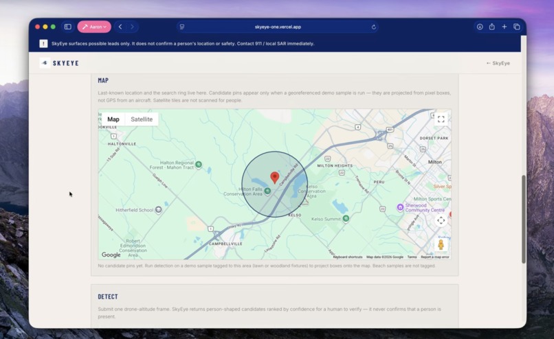
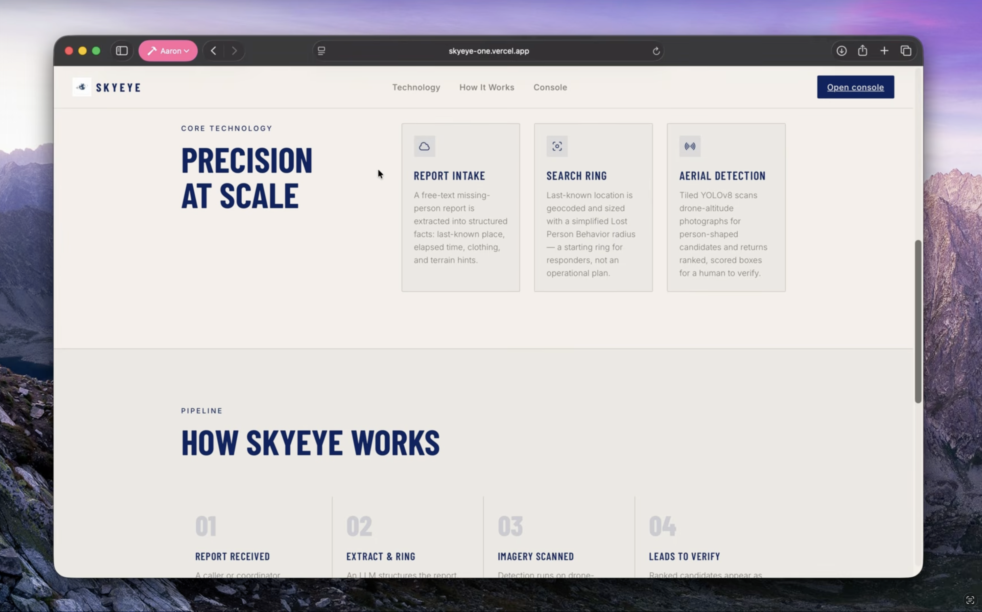
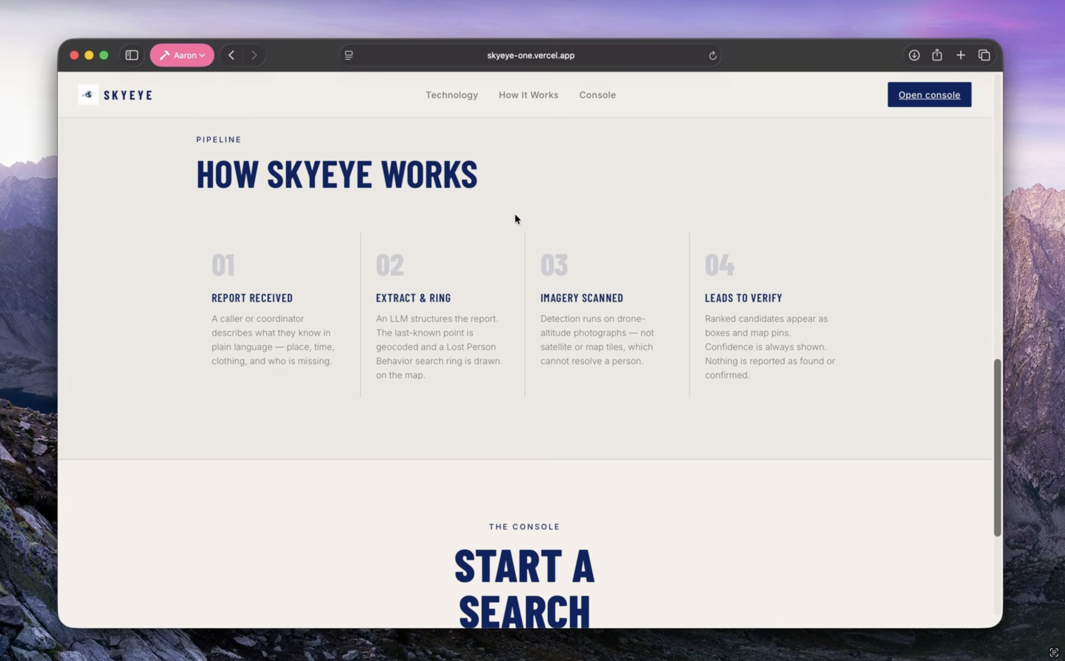
A bystander or coordinator types what they know in plain language (“Dad, 70, red jacket, Bruce Trail near Milton, last seen around 3pm”). Gemini Flash (Groq as fallback) extracts structured facts: last-known place, elapsed hours, clothing, and a subject category. Google Geocoding turns the place into lat/lng. A simplified 50th-percentile Lost Person Behavior table sizes the ring:
$$ r = \mathrm{clamp}\left(r_{50}\sqrt{\frac{t}{t_0}},\; 200\,\mathrm{m},\; 8000\,\mathrm{m}\right),\qquad t_0 = 3\,\mathrm{h} $$
√t keeps the ring from doubling when time doubles. An elderly hiker at 4.5 h gets r = 1347 m from the table.
2. Drone photo → ranked candidates
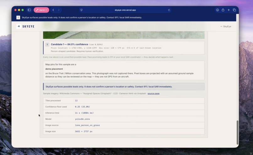
A wilderness photograph goes through sliding-window YOLOv8n (ONNX). Boxes are merged across tiles, scored, and projected onto the map as pins when the fixture is georeferenced. The operator reviews them. The UI never says “found.”
A non-dismissible banner stays on every result: SkyEye surfaces possible leads only. Contact 911 / local SAR immediately. Leave the pin to responders.
How I built it
| Layer | Choice |
|---|---|
| API | Flask: /api/extract, /api/geocode, /api/detect, /api/samples, /api/health |
| Detection | YOLOv8n ONNX Runtime, tiled inference + IoU/containment merge |
| Intake | Gemini Flash primary, Groq GPT-OSS 20B then 120B fallback, typed JSON |
| Where | Google Geocoding (server) + Maps JS (@vis.gl/react-google-maps) |
| Radius | Simplified LPB 50th-percentile table |
| UI | Vite + React + TypeScript; landing + operator console at /app |
| Demo corpus | 8 openly licensed Wikimedia Commons drone photos |
| Deploy | Vercel (UI) + Render Docker (API). Detect goes straight to Render, past Vercel’s Hobby timeout. |
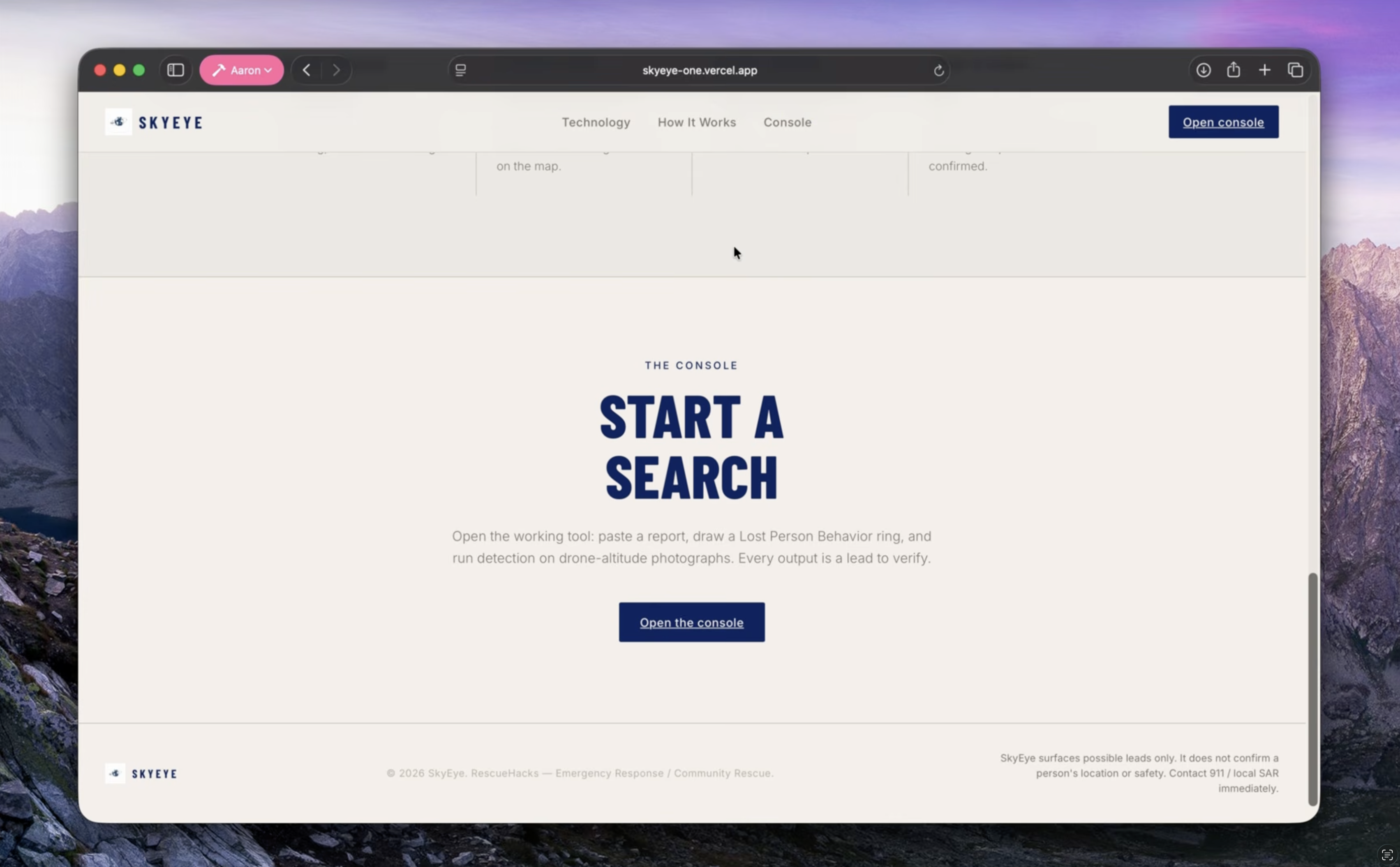
For the landing page, I used Figma to sketch initial layouts, designs, and colour palettes, and used Figma MCP to translate those designs into an actual interactive landing page.
Aerial people are a few dozen pixels tall. One downscaled pass loses them, so the image is cut into overlapping tiles of edge T and overlap ρ:
$$ s = T\,(1-\rho) $$
Each tile is letterboxed to the network’s native input. Detections project back to full-image space, then merge. TILE_SIZE is a recall lever. On a controlled scale test, T = 320 lifted recall from 4/10 to 7/10, at about 2.5× latency and 5× the false positives.
Demo wilderness fixtures sit on the Bruce Trail / Milton conservation area so pins can be reviewed on a real map. The UI labels them as demo-placed.
Challenges I ran into
Satellite GSD. The obvious demo is “drop a pin, scan the basemap.” That is physically impossible at commercial GSD. The detector never runs on map tiles.
COCO priors on aerial subjects. Pretrained YOLOv8n has a hard floor around 60 px. Subjects ≥ 100 px tall are reliable. Subjects ≤ 60 px are missed entirely; the model never sees them. Dropping confidence to 0.05 recovered none of them and added nine false positives. HERIDAL-class drone imagery puts a person at roughly 30 to 60 px. That is the gap.
Pose failures. One fixture, lone_surfer_shorebreak, never detects at any threshold. A person lying prone on a board, seen from directly above, misses COCO’s upright-person prior. Tiling cannot fix it. I kept the miss in the corpus on purpose.
Production memory. PyTorch on a 2 GB Render box died with status 137. The fix was architectural: never import torch at runtime, bake an ONNX export into the Docker image, run ONNX Runtime, one Gunicorn worker, TORCH_NUM_THREADS=1. A restart was not enough — the image itself had to be rebuilt.
Honest demo geography. Pins on a familiar trail invite the question: “was this photo taken there?” Labeling demo-placement in the UI bought credibility.
Accomplishments that I'm proud of
- 7 of 8 demo fixtures behave as expected. Both true-negative fixtures (conifer canopy, closed broadleaf) return zero false positives.
- Time-to-first-lead. Slowest fixture is about 5 to 8 s on a laptop CPU, inside the 30 s PRD target.
- Measured limits in the README. A 60 px floor, a known pose miss, and a tiling tradeoff with real numbers.
- Safety in the UI. Explicit confidence, no “found” copy, persistent emergency banner, keys kept out of responses and logs.
- A deploy that runs detection. ONNX on Render, Maps + extract on the live console, landing at
/and operator console at/app. API contract frozen.
What I learned
Remote sensing has a resolution floor you cannot prompt around. SAR has a literature (Koester / LPB) that beats a default radius. Small-object detection is a tiling and prior problem. A 2 GB container will OOM a full PyTorch stack even when the model is “tiny.”
The most important line in a rescue tool refuses certainty. Ranked leads with scores beat a green checkmark.
What's next for SkyEye
- Aerial fine-tune on HERIDAL / SARD so the model’s prior matches drone nadir: prone, partial, 30 to 60 px.
- Video / live drone ingest: per-frame detection on footage SAR teams already fly. Out of scope for this build; the obvious next loop.
- Thermal / IR for night search, when most misses happen.
- A volunteer SAR pilot with a chapter that already owns drones and still reviews footage by hand.
Detection stays on drone photos. The map sizes the search area.


Log in or sign up for Devpost to join the conversation.