-
-
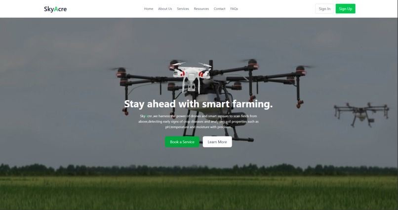
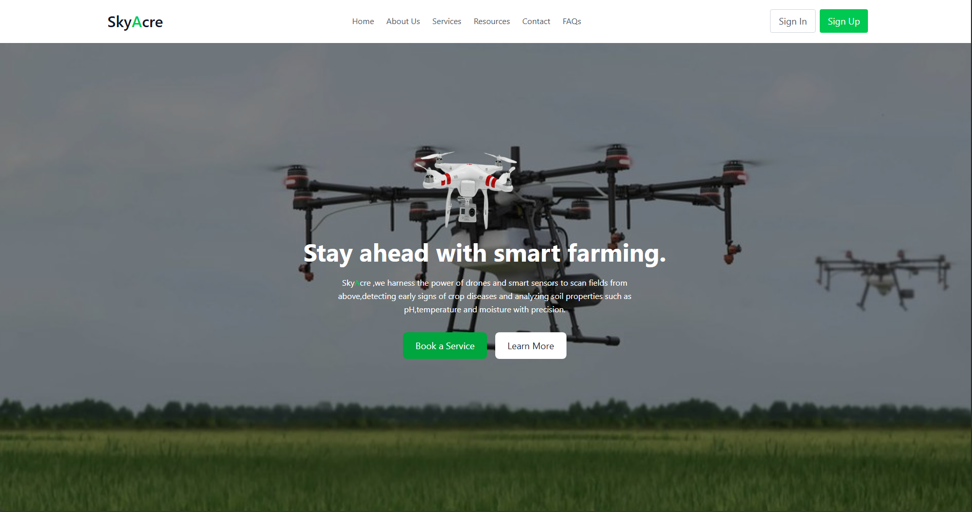
SkyAcre Hero section
Inspiration
Agriculture is the backbone of human civilization, yet many farmers still depend on intuition and experience rather than precise, data-driven insights. We were inspired by the potential of Artificial Intelligence (AI), Internet of Things (IoT), and drone-based multispectral imaging to revolutionize modern farming.
Our goal was simple but impactful:
“Empower farmers with intelligent technology that bridges the gap between soil, sky, and science.”
We wanted to build a system that could automatically analyze soil parameters, detect crop stress, and generate fertilizer or pesticide recommendations — reducing waste, improving yield, and promoting sustainable agriculture.
What We Learned
Through developing SkyAcre, our team gained deep insights into precision agriculture and agritech integration. We learned how to:
Use IoT sensors to capture real-time soil data such as NPK levels, pH, moisture, and temperature.
Process multispectral drone images to assess vegetation health through spectral indices like NDVI and GNDVI.
Apply machine learning for crop, fertilizer, and pesticide recommendation systems.
Build a full-stack web application that connects hardware, AI, and visualization in real time.
We also explored vegetation index computation, such as the Normalized Difference Vegetation Index (NDVI), which measures crop vigor:
𝑁 𝐷 𝑉
𝐼
𝑁 𝐼 𝑅 − 𝑅 𝑒 𝑑 𝑁 𝐼 𝑅 + 𝑅 𝑒 𝑑 NDVI= NIR+Red NIR−Red
where 𝑁 𝐼 𝑅 NIR represents near-infrared reflectance and 𝑅 𝑒 𝑑 Red is the visible red reflectance. Higher NDVI values indicate healthier vegetation.
How We Built It
The SkyAcre system integrates hardware, software, and AI analytics in a unified workflow.
System Architecture
IoT Soil Sensing Module
Sensors (NPK, pH, moisture, and temperature) were connected to ESP32 boards.
Data transmitted via LoRaWAN or Wi-Fi to the backend.
The system continuously monitors soil conditions and streams readings to a cloud database.
Drone-Based Multispectral Scanning
Drones equipped with multispectral cameras captured images across Red, Green, NIR, and Red Edge bands.
Image processing using OpenCV and TensorFlow identified crop stress and pest-affected areas.
AI Recommendation Engine
Machine learning models trained on soil and crop datasets to recommend:
Recommendation
𝑓 ( N , P , K , pH , Moisture , 𝑁 𝐷 𝑉 𝐼 ) Recommendation=f(N,P,K,pH,Moisture,NDVI)
Output: best crop suggestions, fertilizer ratios, and pesticide recommendations.
Frontend Dashboard
Built with React.js and Tailwind CSS, showing real-time soil readings, NDVI maps, and AI recommendations.
Node.js and MongoDB backend handled data management and analytics pipelines.
Challenges We Faced
Sensor Calibration: Achieving reliable and consistent readings across different soil types.
Data Synchronization: Aligning drone-captured aerial data with ground-based IoT sensor data.
Multispectral Image Processing: Managing large datasets and ensuring proper orthomosaic stitching.
Connectivity Issues: Handling data transmission from rural and remote agricultural zones.
Model Generalization: Training AI models that adapt to different regions, crops, and climates.
What We Achieved
SkyAcre successfully integrates AI intelligence, IoT-based sensing, and drone multispectral imaging into a single precision-farming solution. It helps farmers:
Detect crop stress early
Optimize fertilizer and pesticide use
Improve soil health and sustainability
Future Vision
We plan to enhance SkyAcre by:
Incorporating real-time weather forecasting for adaptive recommendations.
Adding automated irrigation control via IoT.
Deploying edge AI processing for faster field analysis.
Expanding to a mobile app for farmer accessibility in low-connectivity regions.

Log in or sign up for Devpost to join the conversation.