-
Gamified Experience
-
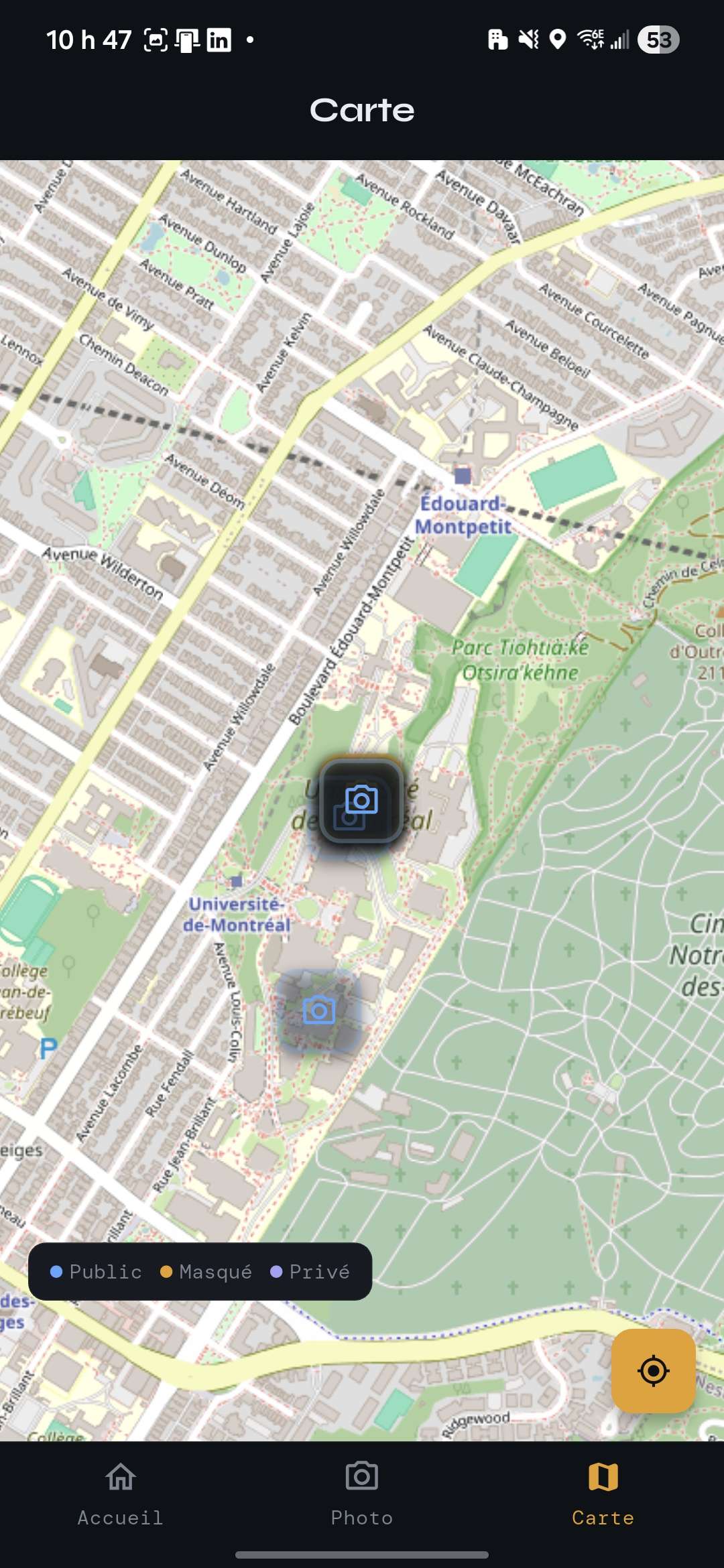
Interactive Map
-
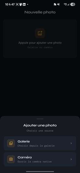
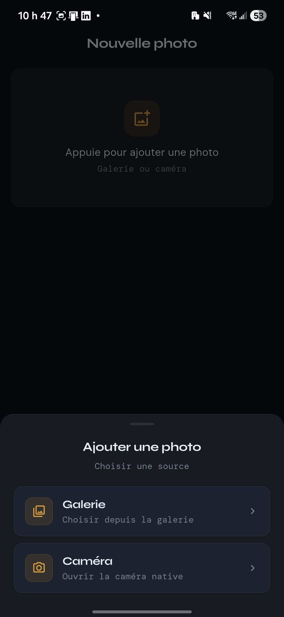
Image Capture Menu
Inspiration
Inspired by the real-world gamification of Pokémon GO, we wanted to flip the script: instead of collecting digital items, the community drives the discovery. Montreal is rich with vibrant street art and cultural history, yet masteries honoring local legends—like Leonard Cohen or jazz pioneer Daisy Peterson Sweeney—are easily missed. SiteSee turns local art curation into an immersive, real-world adventure that bridges community connection with physical urban exploration.
What it does
SiteSee is a location-aware, photo-sharing mobile app featuring gamified exploration and proximity-locked content tracking.
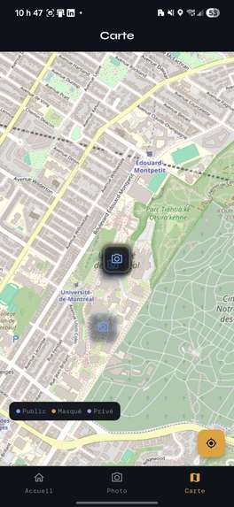
Interactive Radar Map: Users explore an interactive map tracking nearby street art.
Proximity-Locked Content ("Hidden Sites"): Creators can hide photos in the physical world. To combat digital oversaturation, other users can only unlock the high-resolution image and its historical context card when their real-time device coordinates are within 20 meters of the physical spot.
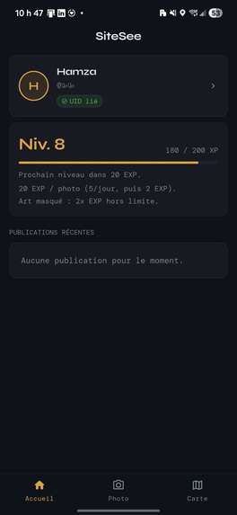
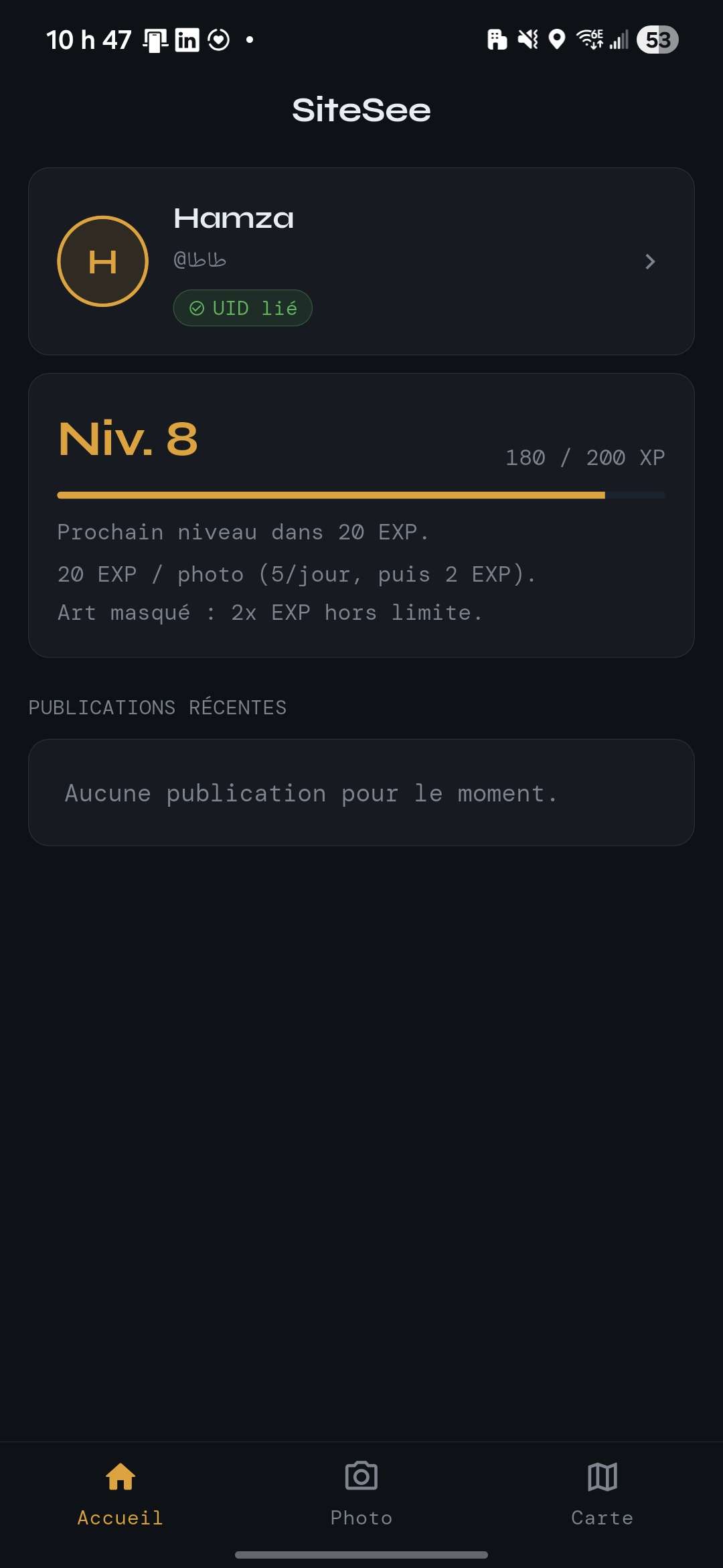
Exploration Gamification: Discovering hidden sites earns experience points (XP), allowing users to level up their profiles as they travel.
How we built it
We utilized a cleanly decoupled architecture separating presentation screens from underlying domain services:
Frontend: Built natively using Flutter (Dart) for a smooth cross-platform ecosystem.
Mapping & Spatial System: Integrated Flutter Map paired with OpenStreetMap layers, utilizing the Geolocator package for continuous GPS evaluation loops.
Backend: Leveraged Firebase Core for identity management and real-time cloud data synchronization.
Challenges we ran into
Most of our team had zero prior experience with Flutter or Dart, turning the weekend into an intense, high-speed crash course. We also took a long time to finally pinpoint a unique way to highlight visual arts for our project.
Accomplishments that we're proud of
We successfully delivered a fully functional, end-to-end prototype before the buzzer! The proximity-locking mechanism works seamlessly in real-time, and we wrapped it all in a sleek dashboard featuring a responsive custom navigation system.
What we learned
We mastered rapid mobile layout design, asynchronous stream management in Dart for live telemetry, and project scoping under pressure—learning exactly how to isolate core algorithmic logic from presentation layers to secure a working MVP.
What's next for SiteSee
Indoor Civil Mapping: Allow manual civic address overrides to expand beyond street art into indoor institutions (e.g., matching coordinates at The Louvre to "replicate" and log classic masterpieces like the Mona Lisa).
Enhanced Gamification: Implement variable XP scaling based on discovery difficulty and image-similarity matching.


Log in or sign up for Devpost to join the conversation.