


Inspiration
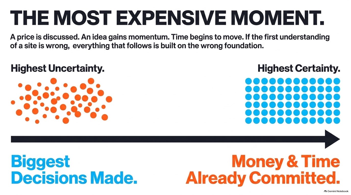
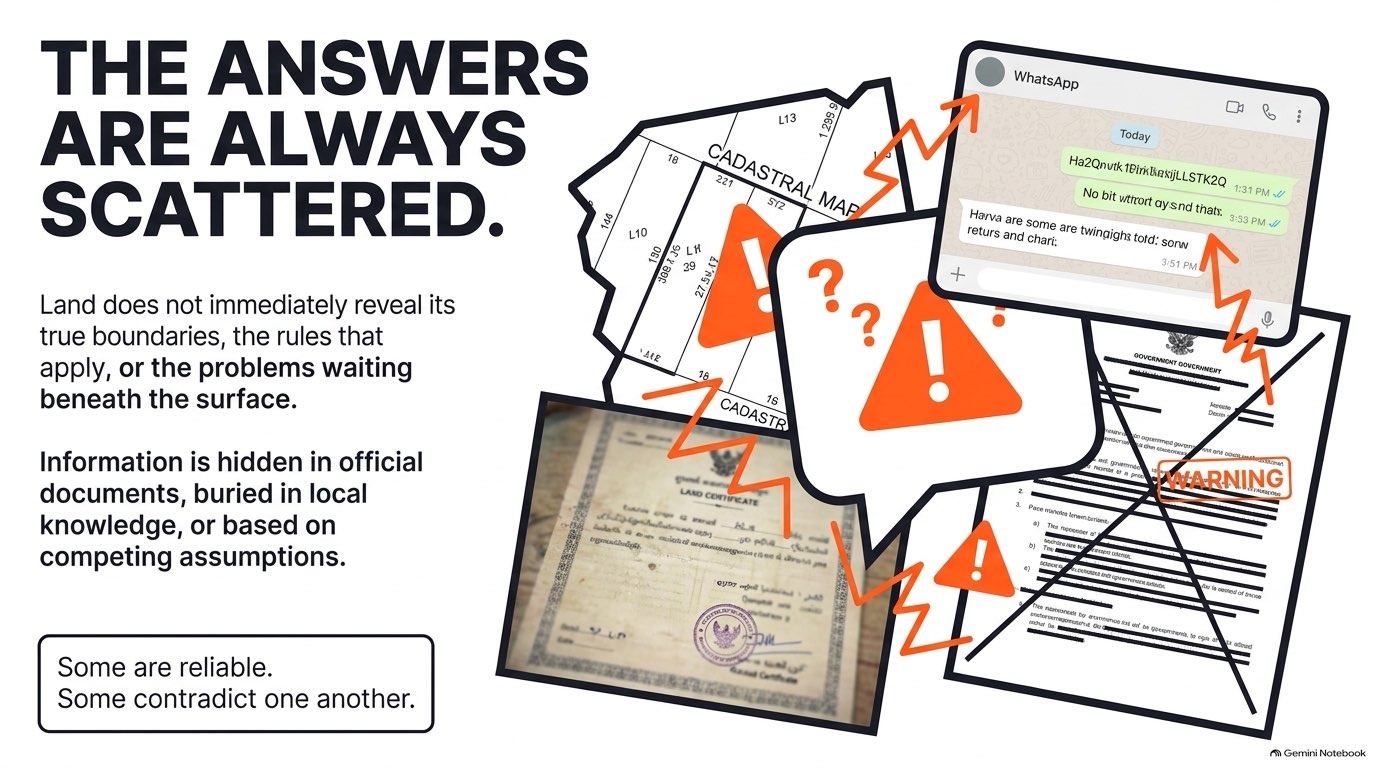
Property opportunities rarely arrive as clean datasets. They arrive as maps, certificates, photographs, broker material, planning documents, spreadsheets and messages. As an architect and urban designer working with real development opportunities in Jakarta and Seattle, I repeatedly saw the same problem: the information existed, but turning it into a credible development decision still required moving between many disconnected tools. SitePilot was created to shorten that process.
What it does
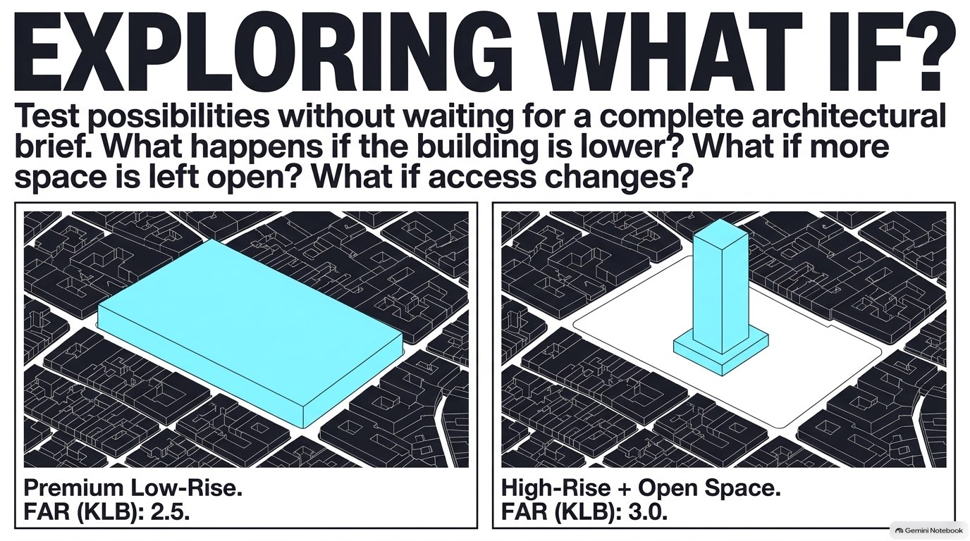
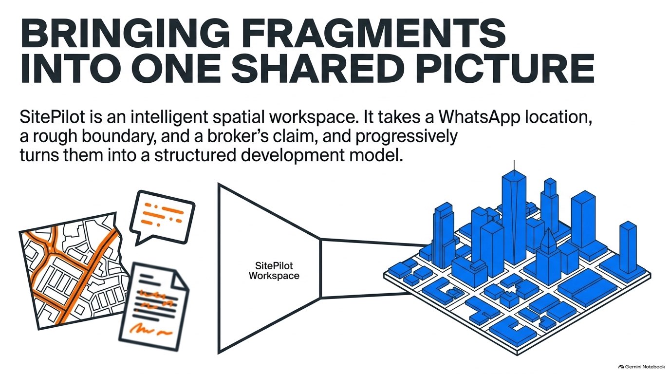
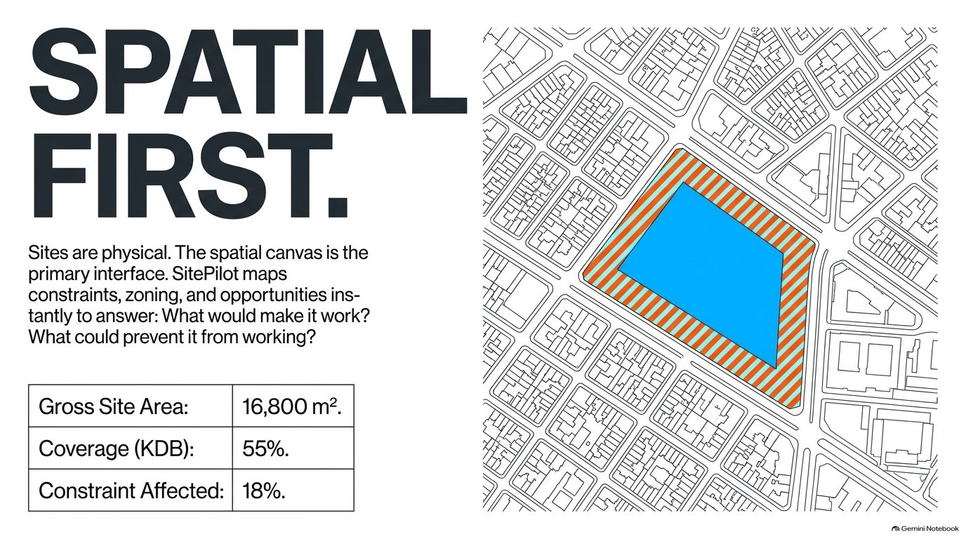
SitePilot turns fragmented site information into a practical development-intelligence workspace. A user provides a site location, property documents, photographs and development objectives. SitePilot organizes the evidence, identifies uncertainty and generates alternative development strategies. Those strategies can then be tested in an interactive 3D environment, where users can adjust massing and immediately see measurable development metrics such as GFA, FAR/KLB, site coverage, setbacks and height. Gemini interprets the evidence and the resulting schemes, while deterministic geometry logic performs the calculations. The workflow becomes:
Evidence → Site Understanding → Development Strategy → 3D Simulation → Assessment → Decision
SitePilot is deliberately not SketchUp, BIM, CAD or GIS. Those are powerful specialist tools, but they often require detailed inputs, technical setup and significant professional effort. SitePilot sits earlier in the process. It provides enough mapping, geometry and development intelligence to answer practical questions quickly:
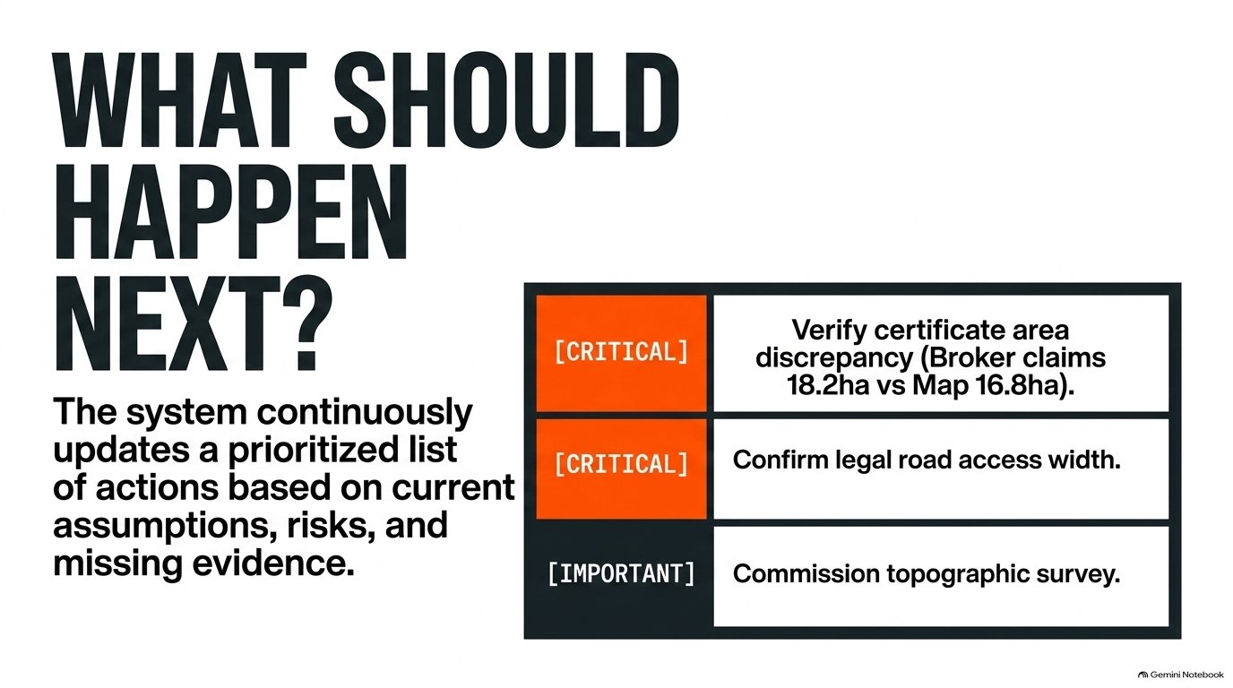
What do we know? What is uncertain? What can approximately fit here? Is the opportunity worth pursuing? What should we investigate next?
When a site deserves deeper work, the project can then move into SketchUp, CAD, BIM, GIS or detailed financial modelling.
How we built it
SitePilot combines Gemini 3.7 Flash through Vertex AI with deterministic spatial and development calculations. Gemini helps interpret property evidence, generate development strategies and assess resulting schemes. The geometry engine handles measurable calculations such as site area, setbacks, building footprint, GFA, FAR/KLB and height.
The principle is simple: The engine calculates. Gemini interprets. The professional decides.
The application uses Next.js and TypeScript with an interactive Three.js-based development environment, deployed through Google Cloud infrastructure including Cloud Run, Vertex AI, Cloud Build and Artifact Registry.
Challenges
The main challenge was not generating attractive 3D buildings or summarizing documents. It was keeping a clear relationship between:
evidence → assumptions → geometry → calculations → interpretation
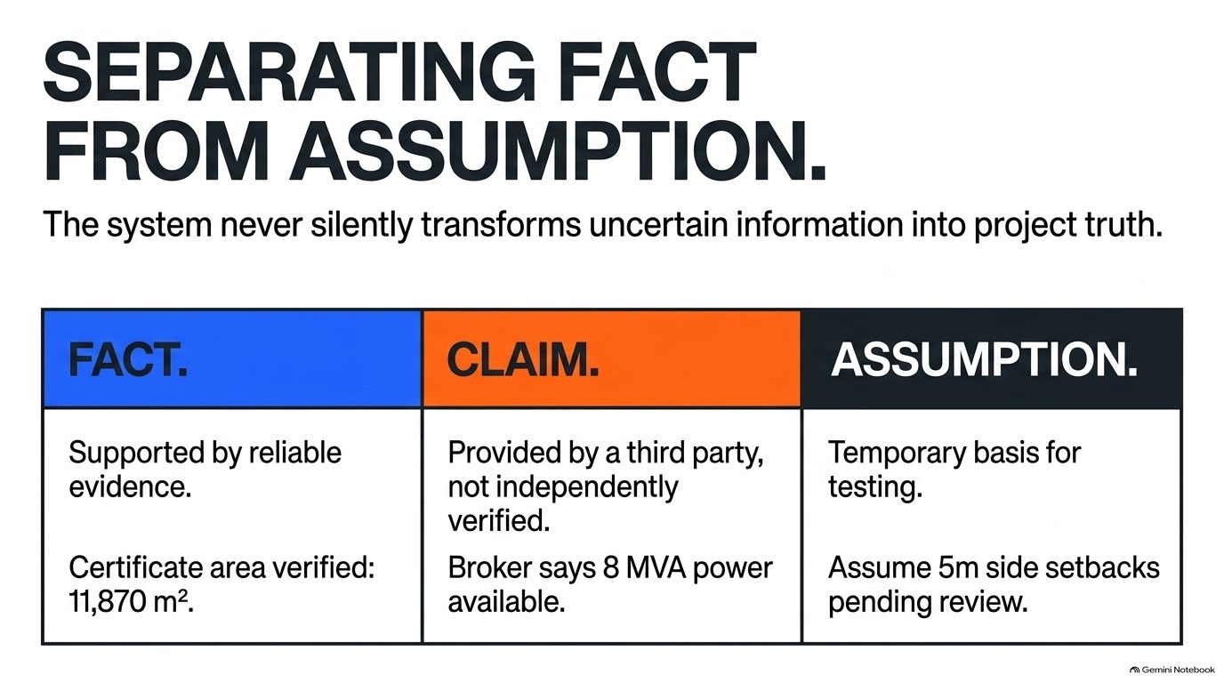
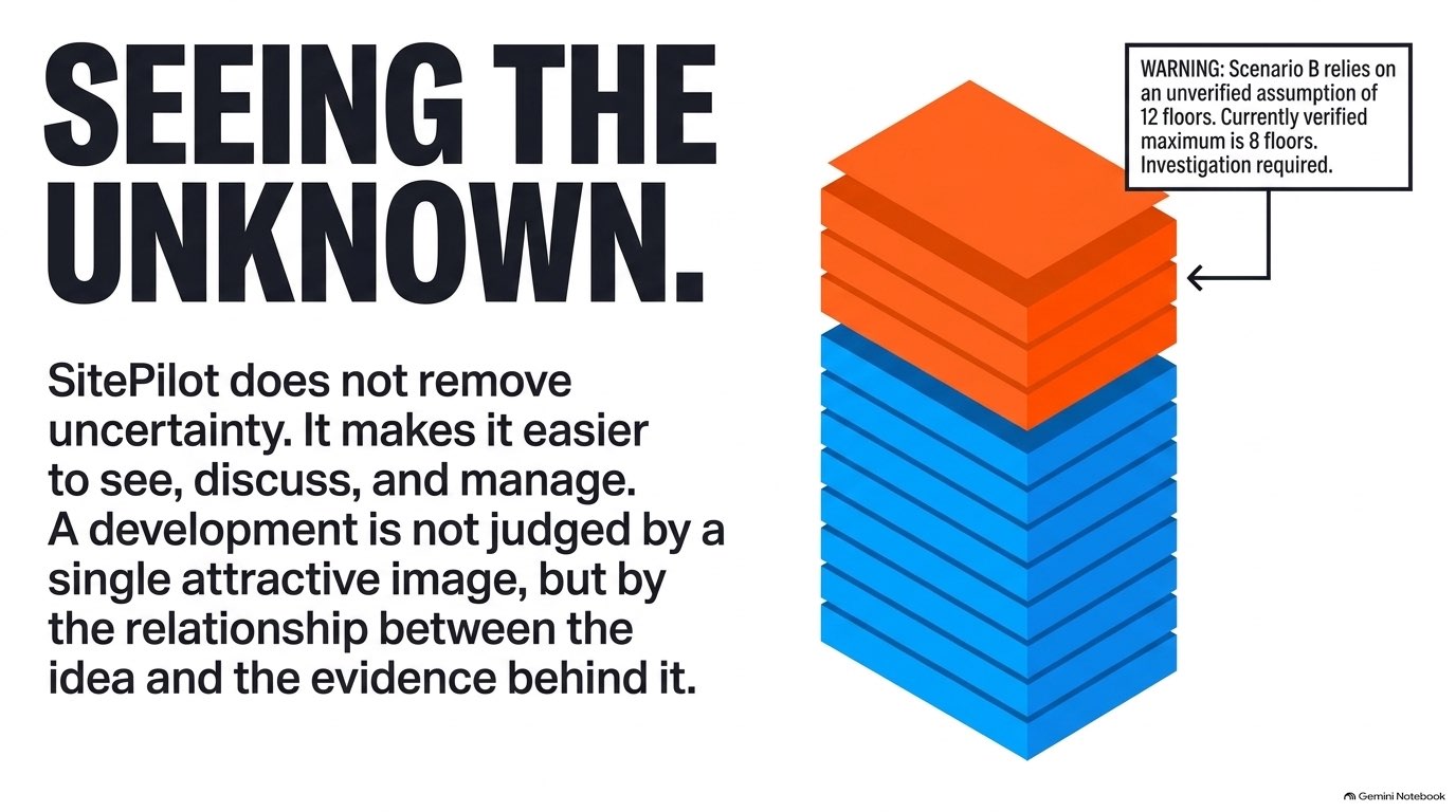
A convincing property recommendation must show where the information came from, what is calculated, what is inferred and what still needs verification. Another challenge was avoiding the temptation to rebuild existing professional software. SitePilot does not need the full capabilities of GIS, CAD or BIM. It needs the small subset of those capabilities that helps a professional make a faster early-stage decision.
Accomplishments
SitePilot now demonstrates an end-to-end development workflow: messy site information → structured evidence → three development strategies → interactive 3D simulation → deterministic feasibility metrics → Gemini assessment → investor-ready decision output
The user remains in control of the development scheme and can modify it rather than simply accepting a generated solution. This makes SitePilot less like an automated report generator and more like a working development-intelligence environment.
What we learned
Early property development is a connection problem. Documents affect planning assumptions. Planning assumptions affect the development envelope. The development envelope affects the 3D scheme. The scheme affects GFA, density and investment potential. The value is therefore not a longer report. It is a shorter path from finding land to deciding whether to commit more time and capital.
What's next
The next step is to make the spatial context much richer while keeping SitePilot lightweight. SitePilot could connect directly with Google Maps and automatically build the initial site environment around a location. Future projects could include:
- surrounding roads and access;
- topography and terrain;
- existing buildings;
- neighboring land uses;
- nearby development sites;
- multiple parcels or acquisition opportunities within the same area;
- infrastructure and planning context.
Instead of examining one isolated parcel, a user could quickly understand an entire development area and compare several nearby opportunities. SitePilot would still not try to replace GIS, SketchUp, CAD or BIM. Its role would remain simpler and more practical:
understand the site, test the opportunity, decide whether it deserves deeper work.
Ultimately, SitePilot can become the development-intelligence layer between finding land and committing capital.
Built With
- antigravity
- cloudrun
- gemini

Log in or sign up for Devpost to join the conversation.