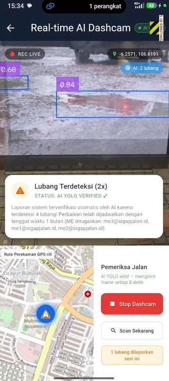
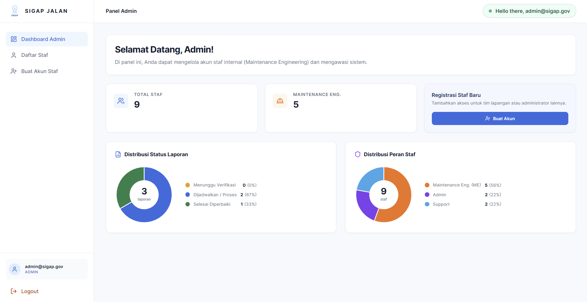

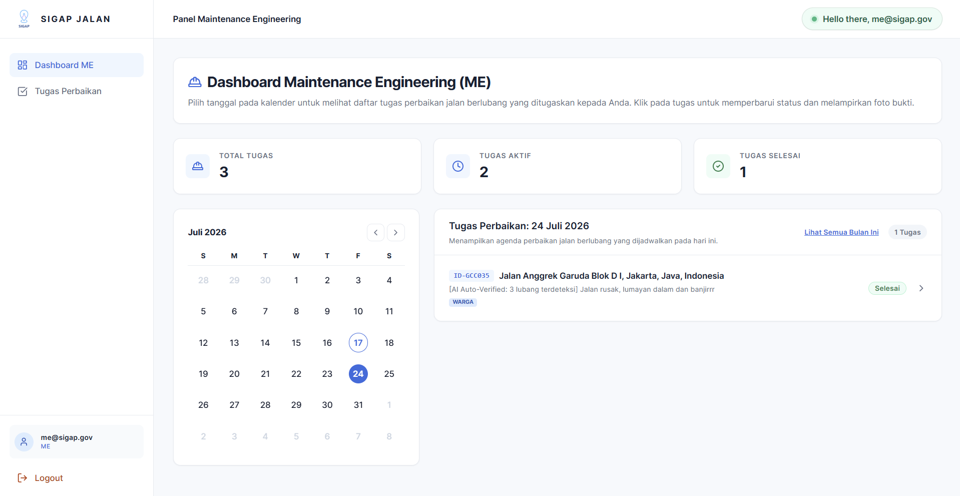

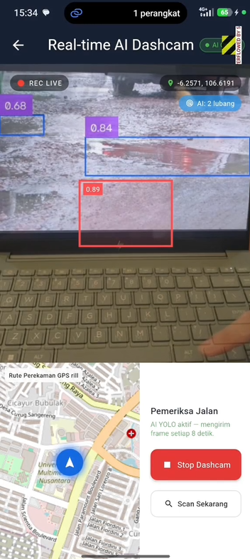
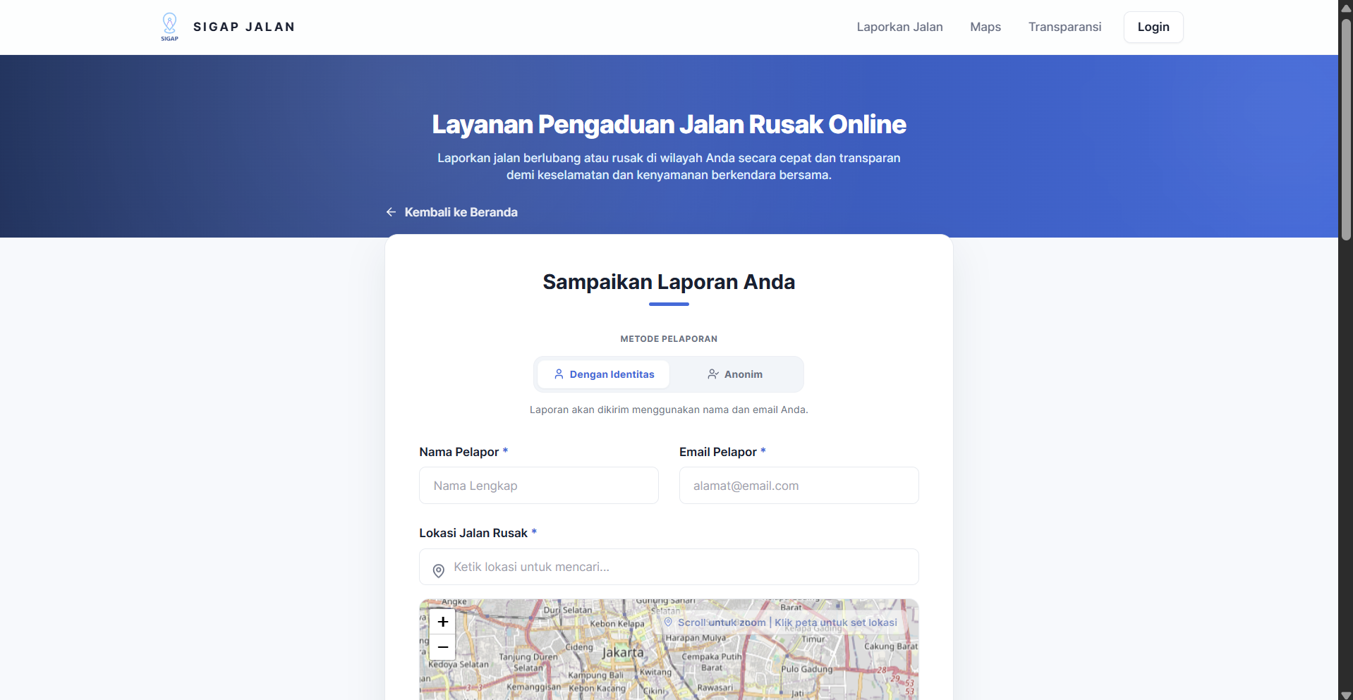
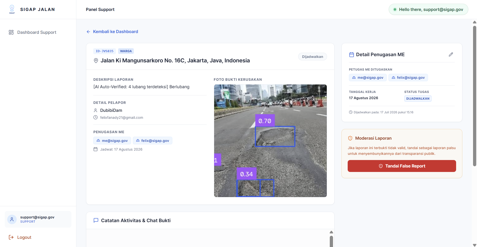
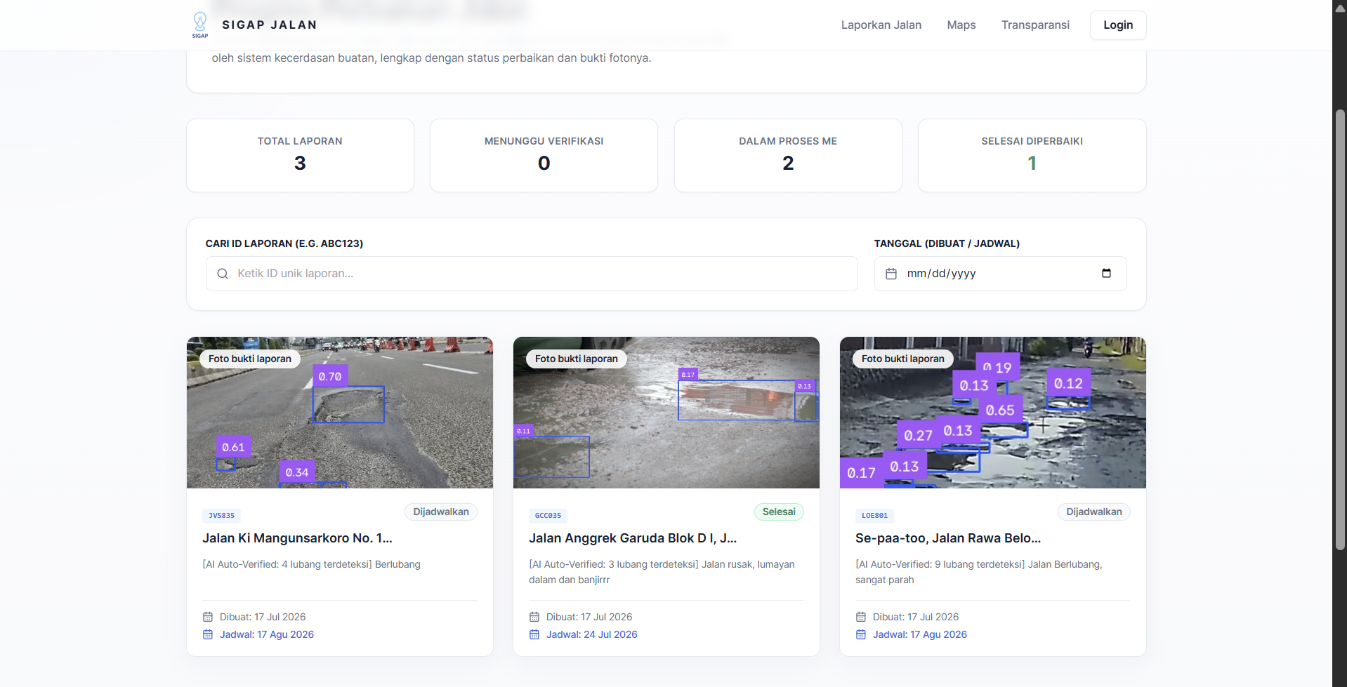
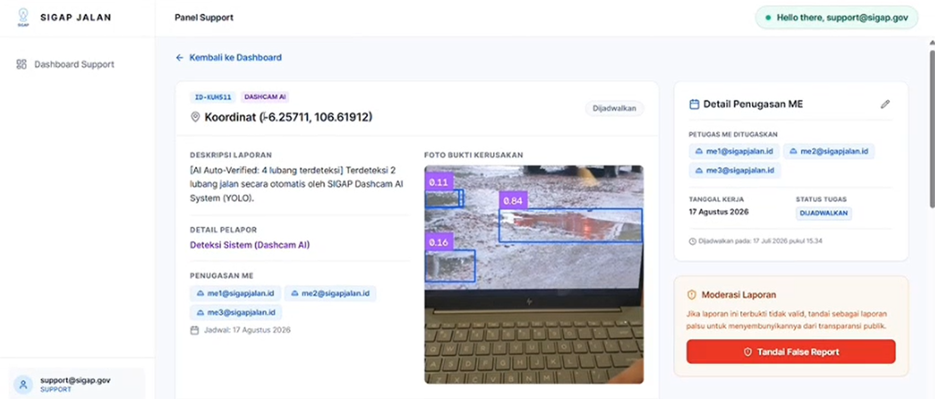
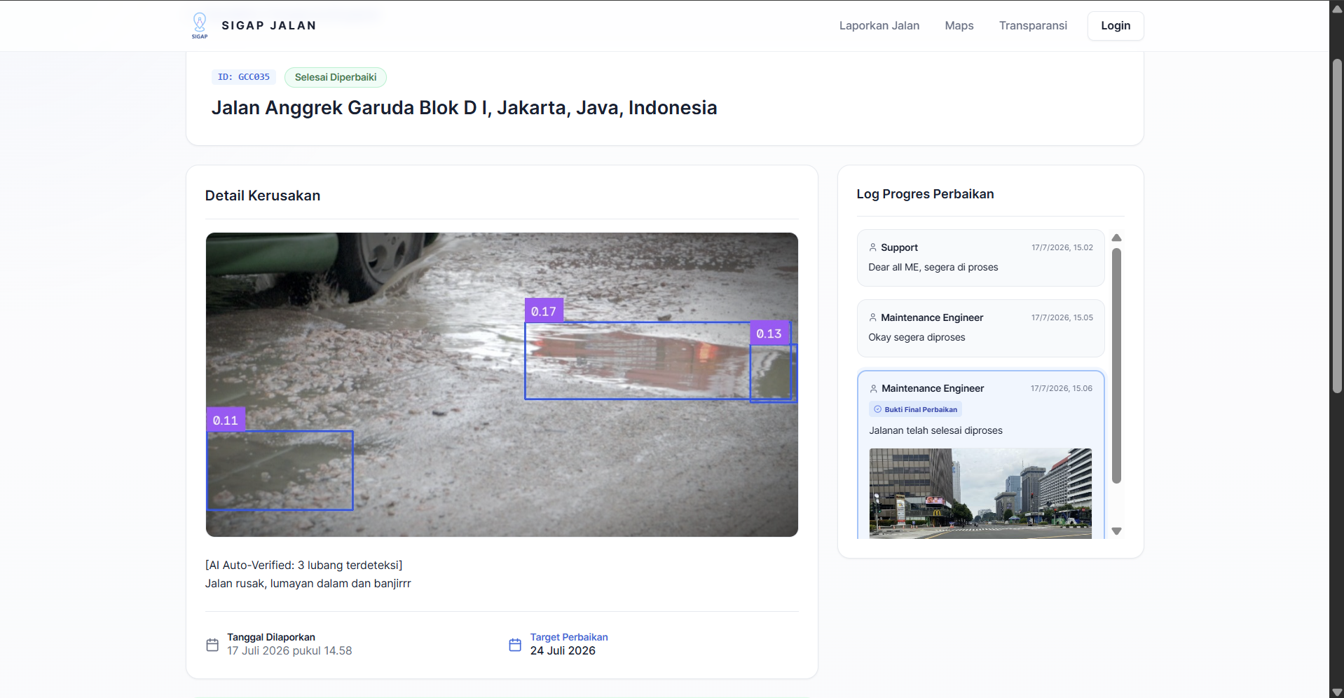
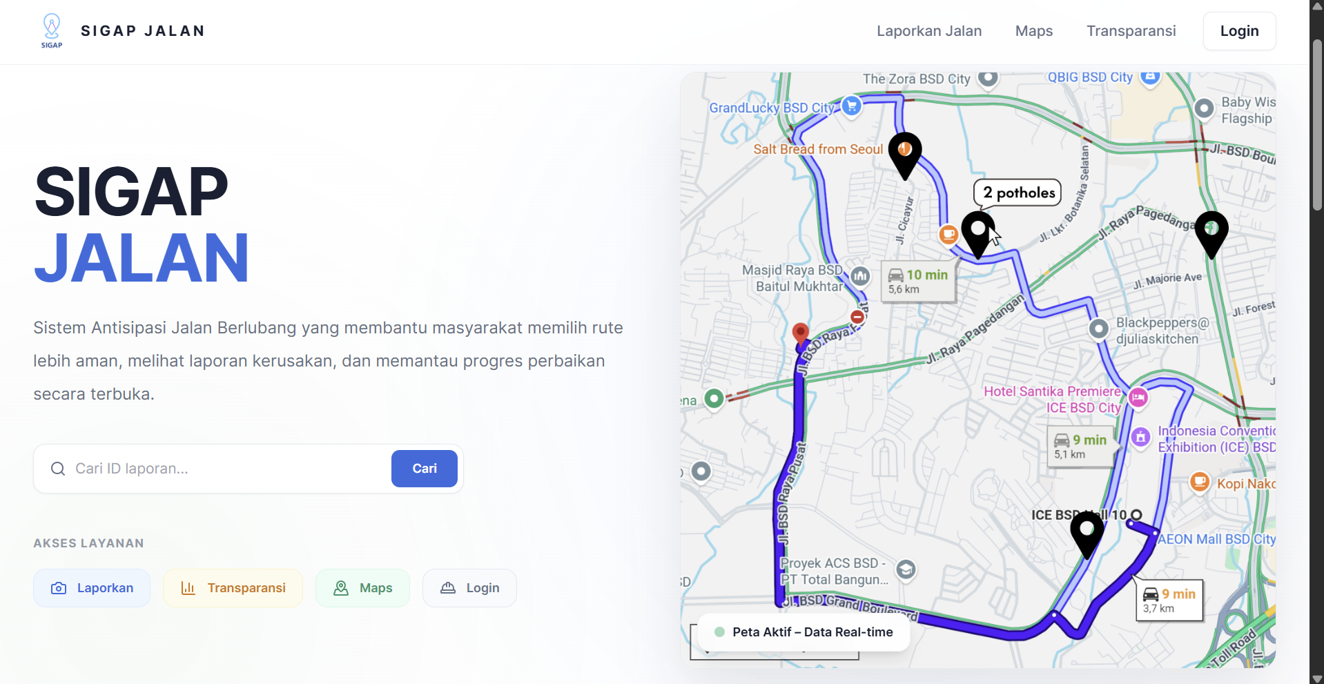
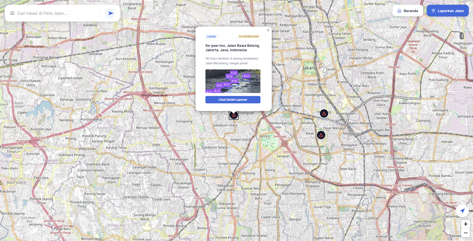
On February 9th 2026, we saw news of a student named Aldi Suryaputra who passed away after being involved in a motorcycle accident. The cause of the accident was suspected to be the massive pothole that was unseen during a downpour. After doing more research we came across a news article that reported 4 victims claimed by the same road and we thought that someone should do something. We planned to make a map that locates every pothole we find so that drivers can find routes that avoid potentially deadly potholes. In order to find the potholes, we will be tapping into public transit fleets, we leverage existing mobile sensors that naturally cover the city's highest-traffic areas. Because these vehicles repeat the same routes daily, they provide a continuous, automated feedback loop to verify both new potholes and completed road repairs. Using our map we will be able to direct users to 3 possible path and it is up to the user to choose whether to avoid the road with the pothole or decide that the pothole isn't too serious according to our map.
Built With
- dart
- flutter
- golang
- postgresql
- python
- react
- tailwind
- typescript
- vite
- yolo

Log in or sign up for Devpost to join the conversation.