-
-

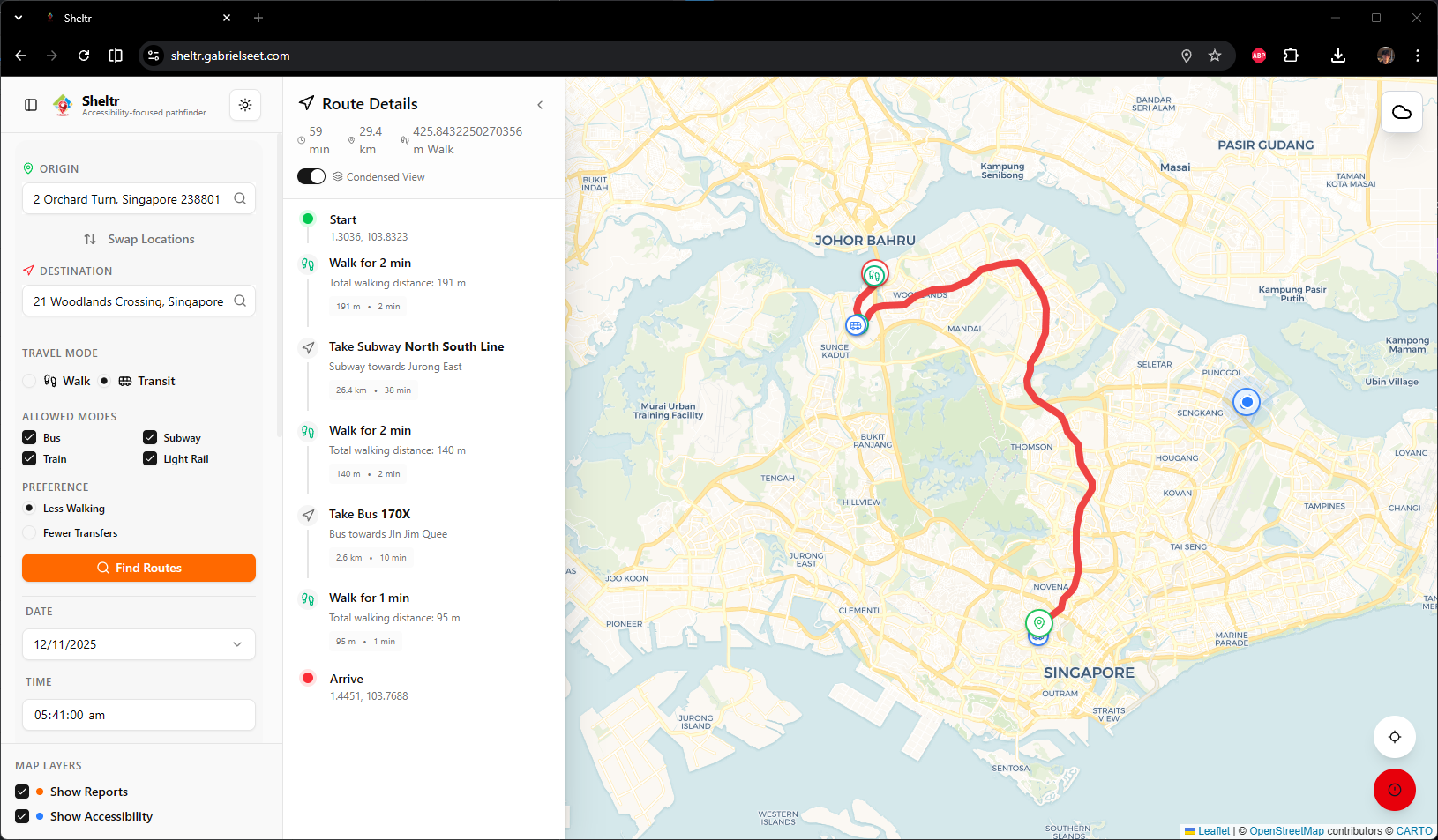
Sheltr usage
Inspiration
Singapore prides itself on being a highly walkable city, but pedestrians still face frequent disruptions from fragmented sheltered paths, inconsistent lift access, unmapped indoor connectors, and sudden rain. Existing navigation tools like Google Maps and OneMap don’t guarantee shelter or accessibility, often leaving users guessing which routes remain dry, shaded, or wheelchair-friendly. We wanted to design a solution that makes walking truly convenient and inclusive for everyone - seniors, students, commuters, and visitors alike.
What it does
Sheltr is a community-powered navigation app designed specifically for Singapore’s walking environment. It focuses on three core pillars:
Shelter-First Routing: Highlights sheltered segments along each walking route using real-time weather data, connecting malls, MRT linkways, and indoor walkways to keep users dry and comfortable.
Accessibility-First Routing: Supports seniors and wheelchair users with lift-only or ramp-only path options, avoiding hazardous slopes and elderly-unfriendly areas.
Community-Powered Updates: Inspired by Waze, Sheltr empowers users to report real-time changes like blocked linkways, broken lifts, construction zones, or crowding, improving overall accuracy and adaptability.
How we built it
We combined open mapping data with Singapore’s pedestrian infrastructure datasets and layered it with our custom shelter and accessibility indexes.
We estimated shade by using the sun's position at the time specified, projecting it onto buildings along a route, and identifying intersections.
Real-time weather data was integrated through an API to dynamically adjust routes based on rain conditions.
For the community reporting feature, we implemented a backend to process user submissions and update the route graph adaptively.
Challenges we ran into
Mapping Singapore’s extensive indoor connectors and sheltered walkways proved complex, as much of this data is incomplete or fragmented across multiple sources. It was hard to find enough reliable data for sheltered paths and accessible infrastructure in Singapore. We also had to design an intuitive interface that could highlight accessible routes while preventing information overload.
Accomplishments that we're proud of
We successfully created a navigation prototype capable of prioritizing sheltered and accessible routes, something major map platforms don’t currently offer. Our community reporting system also demonstrated that user feedback could meaningfully improve route data and reliability over time.
What we learned
We learned that data completeness and real-world context are critical for meaningful navigation tools. Beyond code, engaging the community to contribute accurate reports transforms a typical map into a living, collaborative infrastructure resource.
What's next for Sheltr
Next, we plan to expand Sheltr’s coverage through greater community participation, introduce live lift status integration from public transport operators, and refine our indoor mapping algorithms. In the long term, we envision partnering with government agencies to expand and fine-tune accessibility datasets and to make Sheltr a core tool for accessibility planning and urban resilience in Singapore.
Built With
- docker
- google-cloud
- google-places
- google-routes
- mysql
- python
- react
- vite


Log in or sign up for Devpost to join the conversation.