-
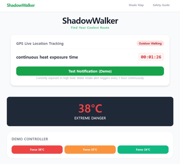
main page
-
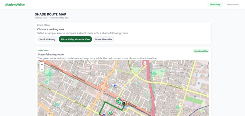
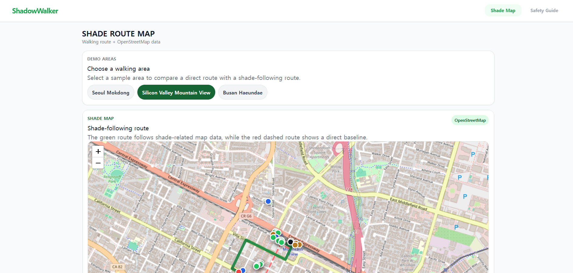
map page
-
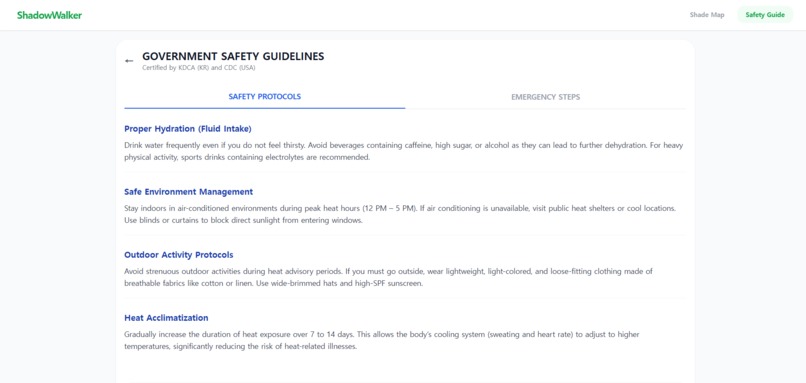
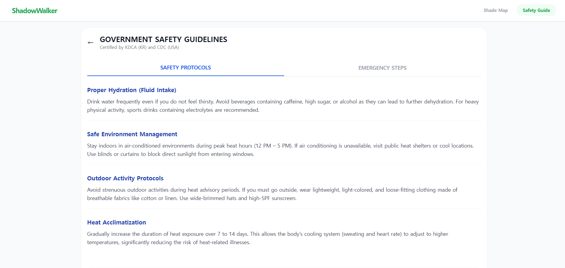
guidline page
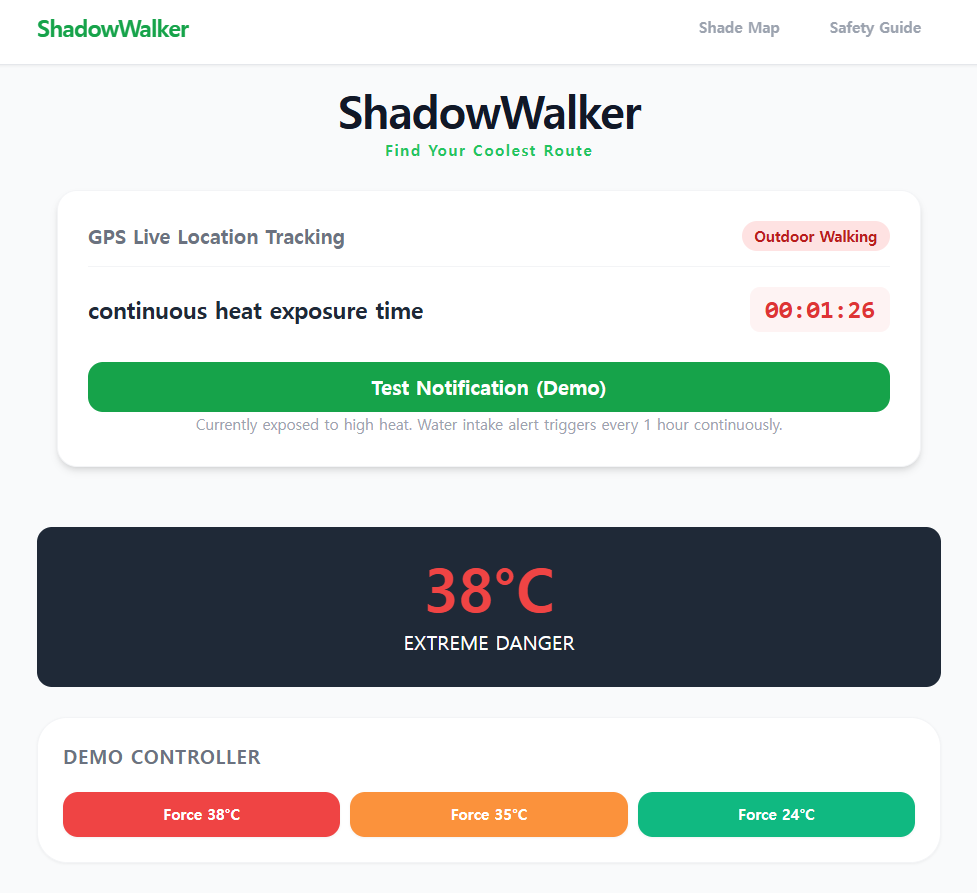
Inspiration
Every summer, extreme heat waves cause hundreds of heat-related illnesses and tragic casualties globally, particularly among vulnerable populations like the elderly and outdoor workers. In South Korea, cities have brilliant physical countermeasures—such as massive intersection shade canopies (K-Shade) and smart cooling bus shelters. However, we noticed a critical digital blind spot: every major navigation service (Google Maps, Apple Maps) only calculates the absolute fastest route, aggressively forcing pedestrians out into the blistering, direct sunlight. We asked ourselves: "Why optimize purely for speed when a slightly different, shaded path could literally save a life?" This inspired us to build ShadowWalker.
What it does
ShadowWalker is a specialized urban pedestrian navigation web application designed for climate resilience. Instead of tracking the shortest distance, it maps and calculates the coolest, safest, and most shaded walking corridors. The app guides users through dense tree canopies, covered pathways, and indoor transit shortcuts. Additionally, it maps public "Cooling Shelters" (banks, government centers with active air conditioning) and "Hydration Spots" where users can access water. It continuously monitors the ambient temperature and the user's outdoor exposure time, automatically triggering proactive health alerts (e.g., "You've walked in 35°C for 30 minutes; please rest at the cooling shelter 15m ahead and hydrate!").
How we built it
We engineered a robust three-tier spatial architecture inside an intense 24-hour pipeline:
- Pedestrian Routing Core: We utilized open-source graph-based routing engines (Valhalla and OSRM) via a sequential fallback service to guarantee legally walkable, mathematically accurate sidewalk and crosswalk geometries.
- Geospatial Shade Harvesting: We built an async data pipeline querying OpenStreetMap (OSM) via the Overpass API to harvest real-world urban canopy features using targeted tags (such as
natural=tree,natural=tree_row,tree_lined, andleisure=park). - Custom Distance-Based Shade Scoring Algorithm: We coded a custom scoring algorithm (
shadeScorer.js) that segments the routing geometry into spatial sample points, measures their real distance to the harvested shade or AC shelter features, and computes a localized Shade Coverage Index (SCI) using an exponential distance-decay function.
Challenges we ran into
Our biggest algorithmic hurdle was the "Un-walkable Path Trap." In our first iteration, we tried generating routes by blindly connecting high-density shade clusters. This led to disastrous paths that instructed users to clip directly through private buildings or walk illegally onto multi-lane highways. We solved this by completely reversing our routing logic: we forced the application to pull verified pedestrian walking paths first, and then applied our custom shade data strictly as a geometric scoring overlay. Furthermore, managing real-time geospatial async queries within a strict 24-hour limit without relying on static mock data required severe optimization of our API pipeline.
Accomplishments that we're proud of
- Zero Mock Data Integrity: We originally built an extensive mock data fallback layer fearing time constraints. However, through aggressive optimization, we completely ripped out the fake data and launched a 100% live, operational real-time API pipeline.
- Seamless Multi-Engine Resiliency: Our routing system gracefully switches between Valhalla, OSRM, and GraphHopper, making the navigation incredibly bulletproof.
- Human-Centric Engineering: We successfully shifted the paradigm of spatial computing from pure machine speed optimization to real, life-saving human utility.
What we learned
We learned that open-source geospatial data is inherently noisy and inconsistent across different city districts. Building a resilient product taught us to design fail-safe data architectures—such as dynamically utilizing broad park polygon centroids when individual street tree markers are missing from the database. Most importantly, we realized that as developers, our code has the power to directly protect vulnerable citizens from the growing threats of global climate change.
What's next for ShadowWalker: Find Your Coolest Route
Our journey doesn't stop at the hackathon lines. Moving forward, we plan to expand ShadowWalker into a fully proactive climate-tech ecosystem:
- Satellite NDVI & Municipal Integration: We will integrate satellite-derived NDVI (Normalized Difference Vegetation Index) data and official government municipal datasets to accurately calculate real-time tree canopy density and changing building shadow lengths based on the sun's hourly angle.
- Persistent State Background Tracking: We plan to upgrade our current exposure timer so it runs persistently in the background, ensuring users receive vital hydration and shelter proximity notifications even when their phone screen is turned off.
- Crowdsourced Hydration Mapping: We will introduce a community-driven feature allowing users to report newly established temporary water distribution centers, broken smart-cooling public infrastructure, or exceptionally refreshing shade paths in real-time.
Built With
- css
- html
- javascript
- openstreet
- openweather
- overpass
- react
- tailwind
