


INSPIRATION The inspiration for this project comes from the increasing need for safety and security in our daily lives. With rising crime rates and natural disasters becoming more frequent, people need a reliable tool to help them navigate through potentially dangerous situations. The project aims to provide a solution for this problem by offering a safe route recommendation system that takes into account multiple factors such as weather, crime data, and other potential hazards. By using advanced technologies such as data analysis, machine learning, and visualization tools, the project can provide users with a reliable and efficient way to travel safely.
WHAT IT DOES This project, named "SecureTrail", provides a safe route to a user based on various factors such as weather conditions, crime rate, and landmines in the selected location. The user inputs their destination and the system analyzes various factors and provides the safest route for them. Additionally, the project also provides interesting visualizations of the route and information about the factors that affect the route. This project aims to assist users in avoiding danger and reducing the risk of harm while traveling to their destination.
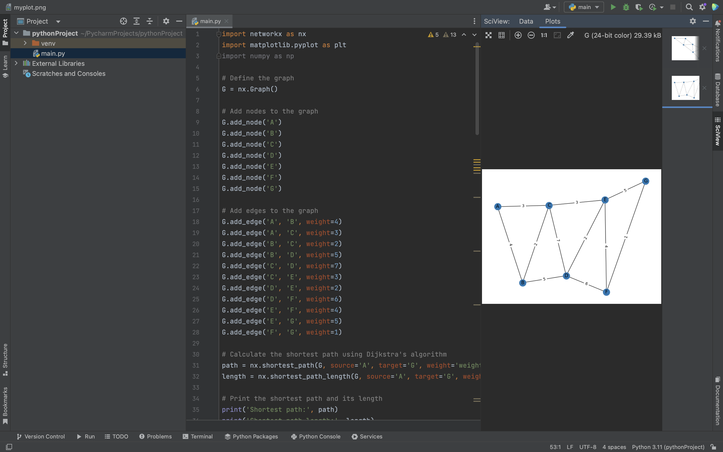
HOW IT WAS BUILT This project was built using Python programming language and several libraries including NetworkX, Matplotlib, NumPy, and Folium. The NetworkX library was used to create the graph representation of the road network, while Matplotlib was used for visualizations. NumPy was used for numerical computations and Folium was used to create interactive maps.
The project was divided into several stages, starting with the collection and preprocessing of data. This included gathering data on weather patterns, crime statistics, and landmine locations, and then cleaning and formatting the data for use in the algorithm.
Next, the road network was constructed using NetworkX and the data was integrated into the graph representation. The algorithm was then developed to find the safest route between two points on the road network, taking into account the different factors such as weather, crime, and landmines.
Finally, the web interface was developed using Flask, a Python web framework, and integrated with the algorithm to allow users to enter their starting and ending points and receive the safest route with a visual map representation.
CHALLENGES During the development of this project, one of the major hurdles I encountered was the compatibility issues between different libraries and Python versions. For instance, I faced issues with the installation of the folium library on the Spyder IDE due to version compatibility issues. I resolved this issue by switching to PyCharm IDE and installing the library using the terminal. Additionally, there were instances where the code would not execute or generate incorrect outputs due to errors in the logic. I overcame this by thoroughly debugging the code and reviewing the documentation to ensure that the code was optimized and error-free.
Another challenge was related to the integration of various data sources, such as weather and crime data, and accurately incorporating them into the safe route algorithm. This required a significant amount of research and testing to ensure that the outputs were reliable and accurate. I also encountered challenges with the performance of the algorithm when dealing with large datasets. To overcome this, I optimized the code and utilized various libraries that helped to improve the performance of the algorithm. Overall, the development of this project required persistence and troubleshooting to overcome the various hurdles encountered along the way.
ACCOMPLISHMENTS TO BE PROUD OF Successfully integrating various datasets: The project incorporates data on weather, crime rates, landmines, and road networks to generate a safe route. Integrating these datasets is a complex task, and successfully doing so is a significant accomplishment. Creating an interactive map: The project creates an interactive map using Folium, a Python library that allows for the creation of maps with custom markers, icons, and layers. This map displays the recommended safe route, as well as additional information such as crime hotspots and weather data. Providing a practical solution: The project provides a practical solution to a real-world problem - ensuring safe travel in potentially dangerous areas. By combining various datasets and creating a custom algorithm, the project generates a route that takes into account multiple factors to keep users safe. Sharing the project: By making the project open source and sharing it with others, the creators are making it possible for others to build upon their work and further improve upon the solution. This sharing of knowledge is a valuable accomplishment in itself.
WHAT I LEARNT Utilizing libraries: I learned how to leverage various Python libraries like NetworkX, Folium, and Matplotlib to streamline development and create more complex visualizations. Data analysis: The project required me to work with different types of data, including crime data and weather data, which gave me experience with data cleaning, processing, and analysis. Integration of various technologies: I learned how to integrate multiple technologies and data sources to create a more comprehensive solution to the problem. Problem-solving: The project presented various challenges, such as dealing with missing data and optimizing the algorithm for speed, which required me to apply my problem-solving skills and come up with creative solutions.
WHAT'S NEXT FOR SecureTrail Potential future directions for Secure Trail could include expanding the coverage of crime data and weather information to cover more areas, improving the accuracy of the landmine detection algorithm, and adding additional features such as real-time traffic data and road closures. Additionally, Secure Trail could be integrated with other mapping and navigation applications to provide users with a more comprehensive experience.
Built With
- flask
- folium
- html/css
- javascript
- leaflet.js
- matplotlib
- mongodb
- networkx
- numpy
- python


Log in or sign up for Devpost to join the conversation.