
Inspiration
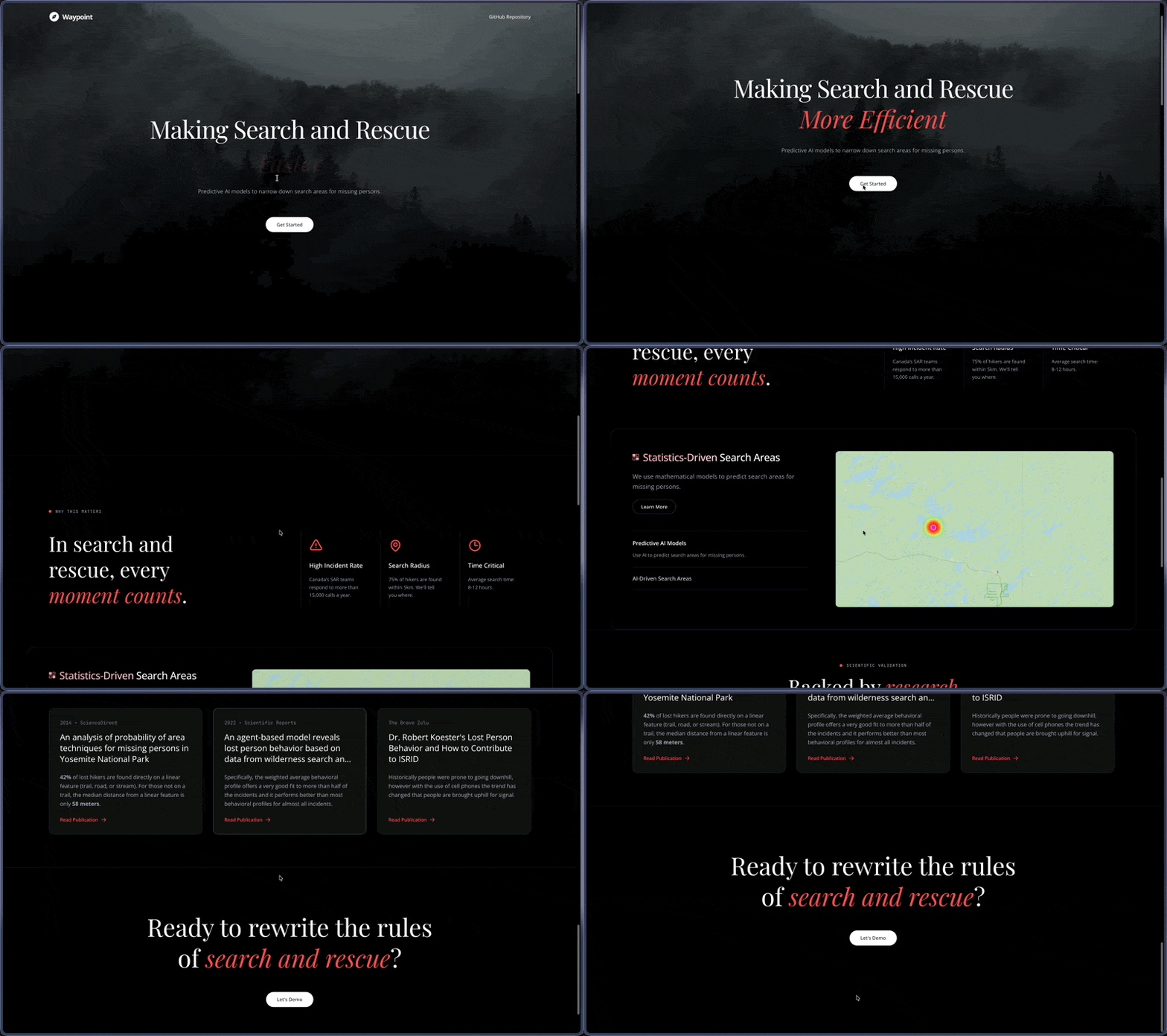
Even Thunder Bay can be a dangerous place to live. We learned this firsthand from a Tailscale speaker who shared stories about his friends’ frequent involvement in search-and-rescue (SAR) missions, and about a time when he himself became stranded. It became clear to us that predictive modeling could significantly assist SAR teams, helping them prioritize search efforts and increasing the chances that missing individuals make it home safely, even in worst‑case scenarios.
Overview
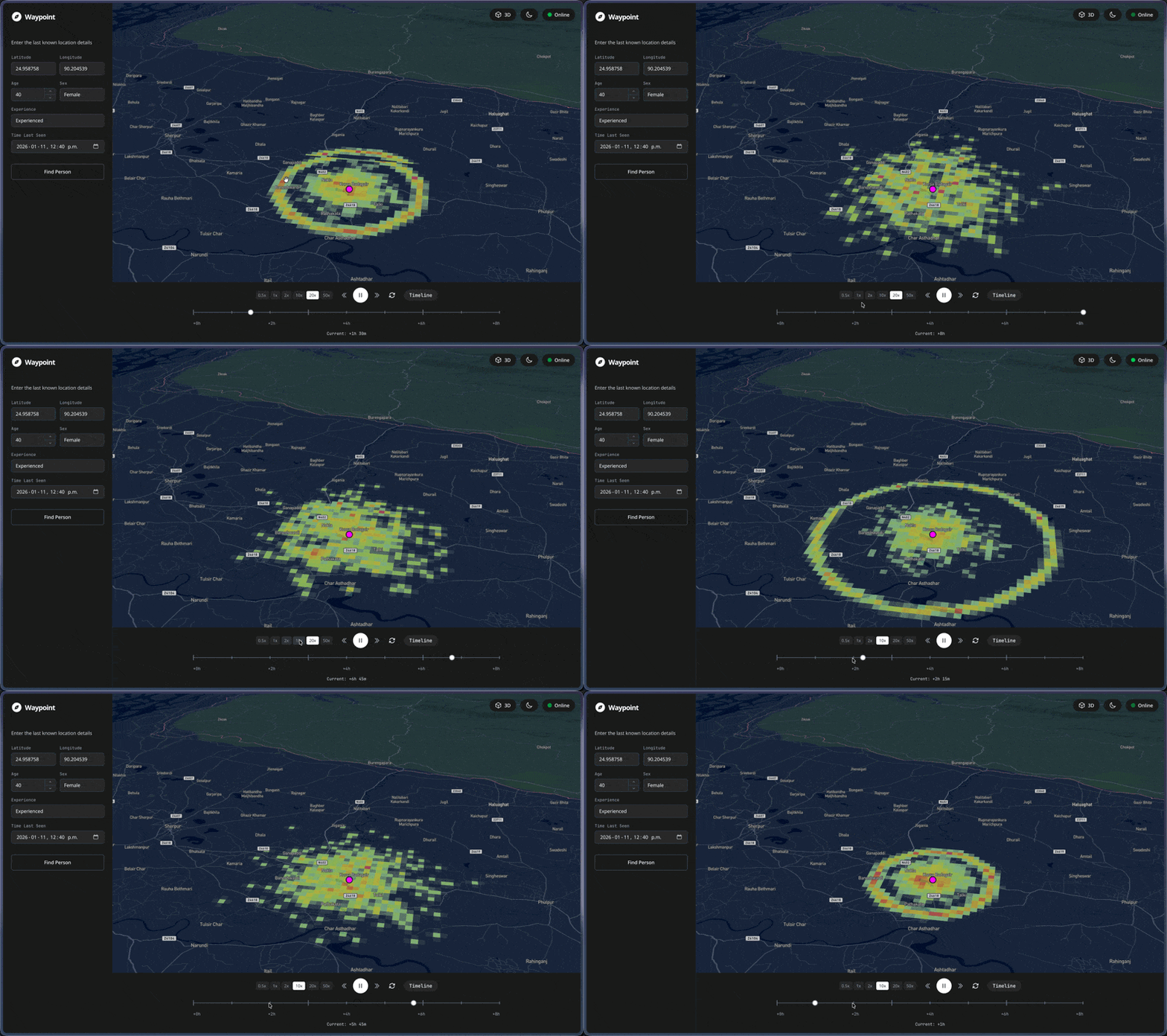
Waypoint uses agent-based simulation informed by ISRID (International Search and Rescue Incident Database) research to generate probability heatmaps showing where a missing person is most likely to be found. The system considers:
- Human Behavior Patterns - Direction traveling, route following, random walking, view enhancing, staying put
- Terrain Analysis - Elevation, slope (Tobler's hiking function), trails, roads, water features
- Environmental Factors - Temperature, precipitation, wind speed
- Personal Profile - Age, gender, experience level
How we built it
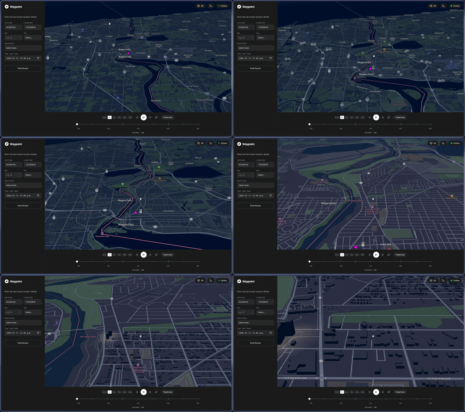
Frontend: React with Vite build tooling, TanStack Query for data fetching and state management, TailwindCSS for styling, Mapbox GL JS for interactive mapping and visualization
Backend: Python, FastAPI, NumPy for heat map generation, Rasterio to parse NASA GeoTIFF tiles, SciPy for Gaussian smoothing
Infrastructure: Vultr cloud compute instances for scalable backend processing with SSH deployment and parallelized computation
Data Sources: NASA SRTM DEM for elevation data, Open-Meteo for current temperature, wind speed, and precipitation, OpenStreetMap for trail/road geometries
Challenges we ran into
- Limited data availability: Most SAR data is inaccessible due to privacy concerns and the lack of a centralized data structure across municipal and regional agencies.
- Large‑scale data handling: With non‑cooperative elevation APIs and ~169 GB of global elevation data, accessing terrain information efficiently and in real time was a major challenge
Accomplishments that we're proud of
- LRU Caching for DEM Tiles: Implemented an LRU cache enabling O(1) lookup for frequently searched locations, significantly reducing latency between incident recognition and actionable insight.
- UI/UX Design: Clean, intuitive, and purpose‑built, focused on delivering clear, actionable visualizations without unnecessary complexity.
- Agent Behavioral Algorithm: Grounded in extensive research on lost‑person behavior, resulting in realistic terrain‑aware movement simulations.
- Intentional Simplicity: We deliberately avoided shipping non‑essential features, respecting SAR teams’ need for clarity and speed over flashiness.
What we learned
- Build something niche that solves a specific pain point.
- Performance optimization matters; plan for this way before you begin coding. fixing it AFTER the infrastructure is set is a pain.
- It doesn't need to be flashy, nor does it need to have many features. Just do one thing well.
Built With
- axios
- fastapi
- math
- python
- react
- react-query
- tailwindcss
- typescript


Log in or sign up for Devpost to join the conversation.