-
-
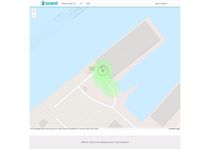
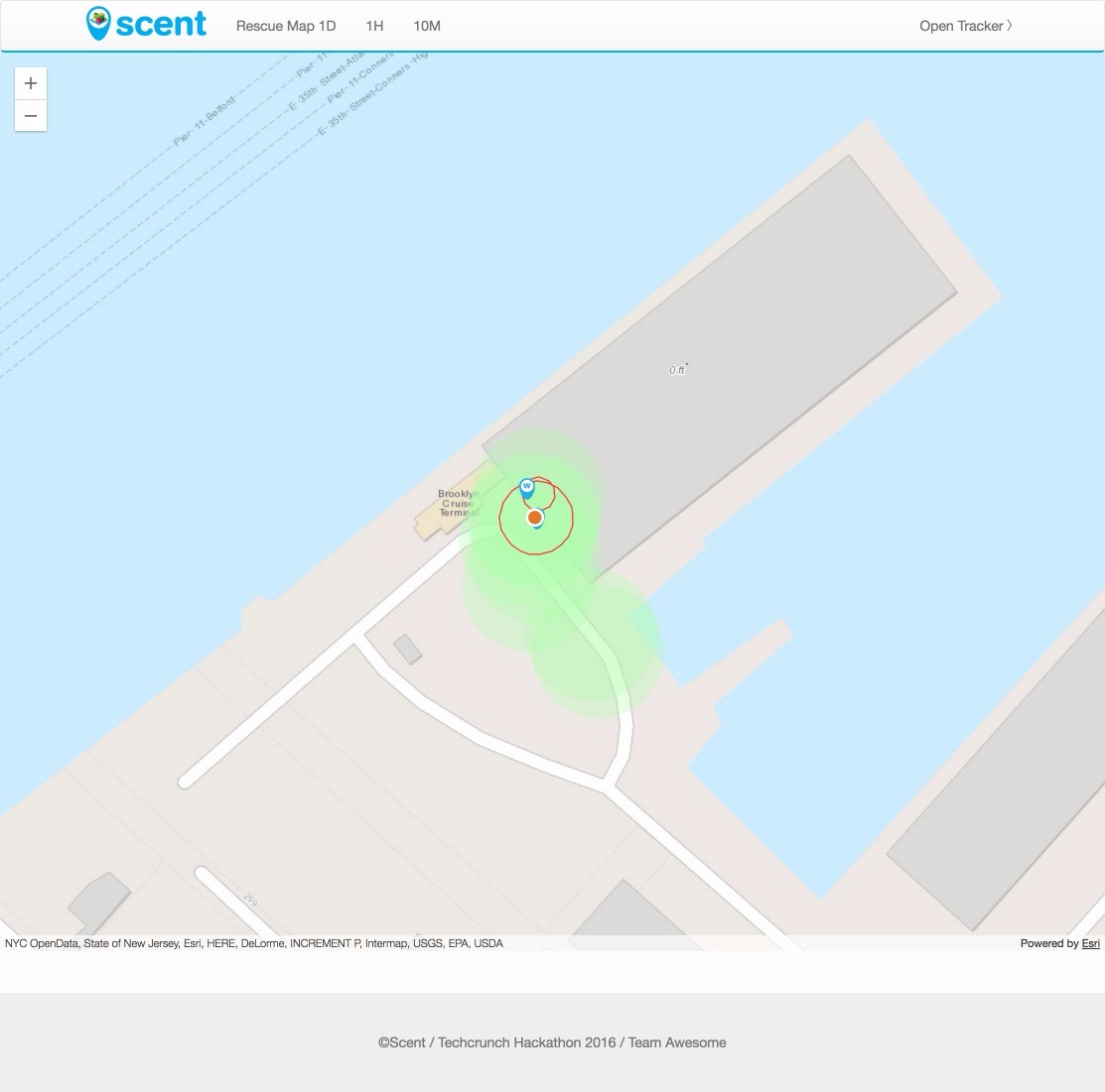
The map view displaying already covered areas, found networks and required help.
-
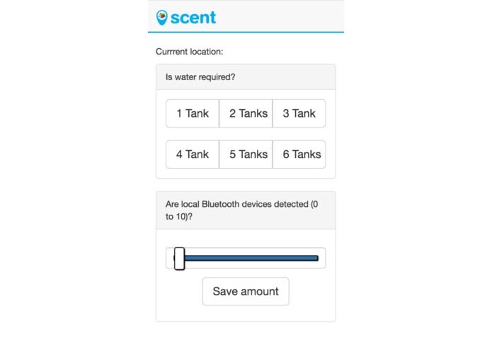
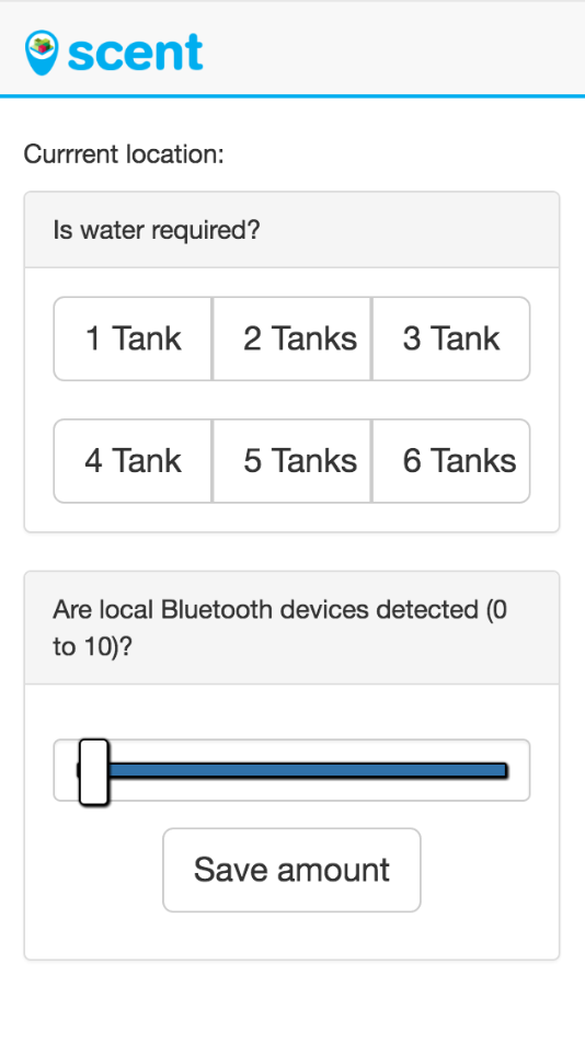
The mobile client simulates a rescue worker using browser geolocation services.
-
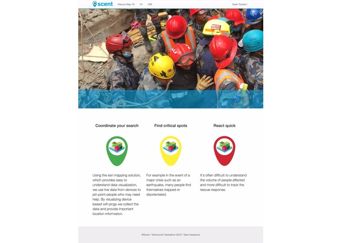
Scent - Homepage with basic infos.
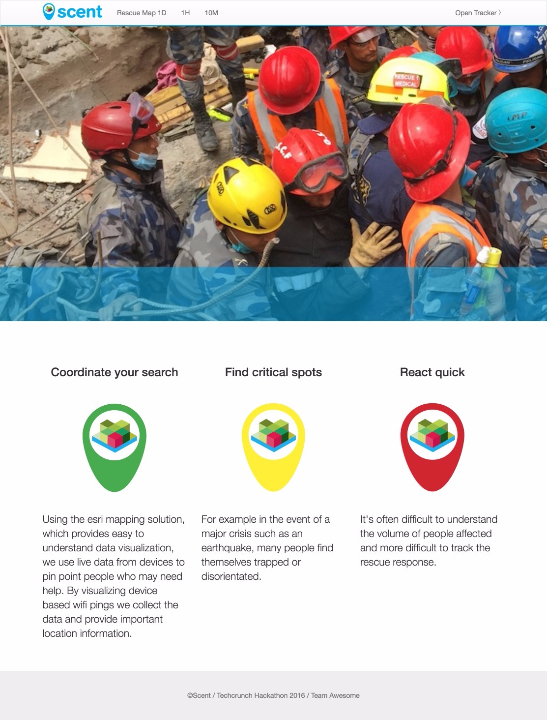
Scent - Crisis Mapping for Rescue Services
Using the esri mapping solution, which provides easy to understand data visualization, we use live data from devices to pin point people who may need help. By visualizing device based wifi pings we collect the data and provide important location information. For example in the event of a major crisis such as an earthquake, many people find themselves trapped or disorientated. It's often difficult to understand the volume of people affected and more difficult to track the rescue response.
Scent locates those in need of help whilst providing real time mapping data to track the response of rescue teams. Enabling effective management of rescue resources. Directing adequate resources and coordinating the response to major areas of need using the mapping data. Ensuring that the locations are clear of people needing help and support.
What's next for Scent
Enabling data capture from all available sources in real time to build more effective mapping.
In addition we aim to use quick response data capture tools for environments which have lost the ability to provide data. For example where local networks are unavailable due to the unfolding crisis we will deploy drones to provide hubs for capturing wifi pings and to create emergency call networks.


Log in or sign up for Devpost to join the conversation.