Inspiration
We wanted to use data from NASA and other geographic sources, so we made an API based project.
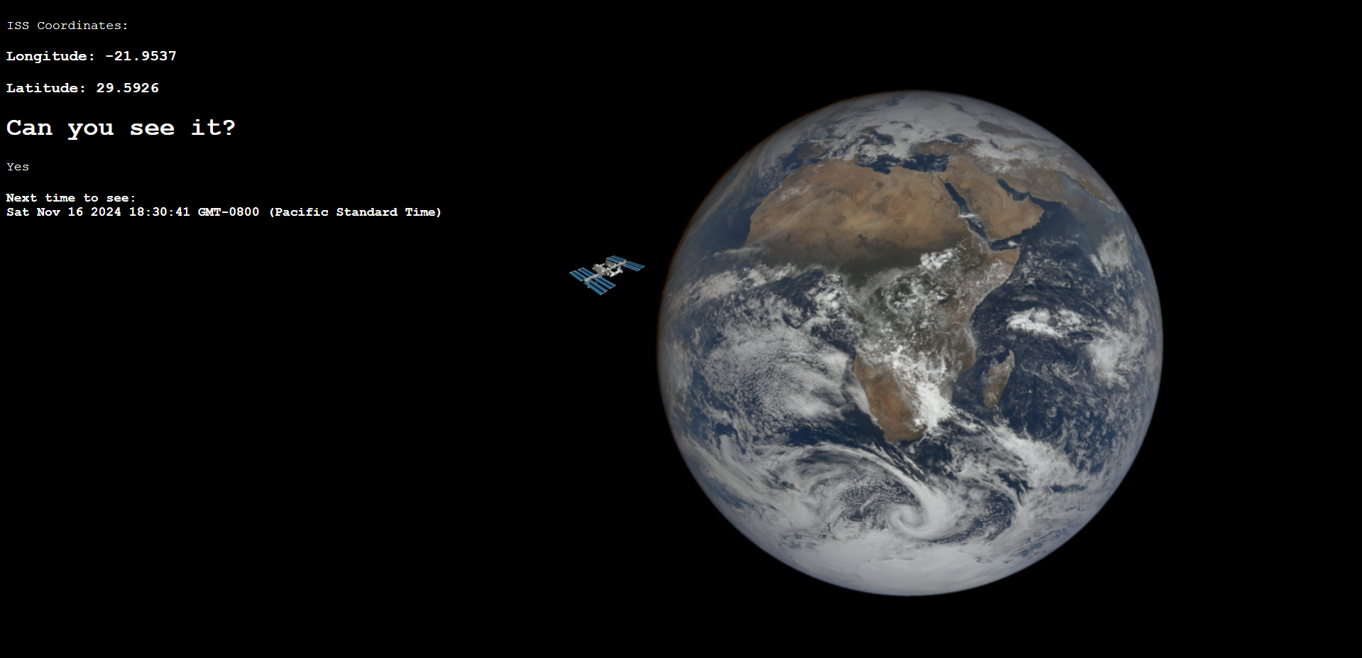
What it does
It tells you if the ISS is visible from your location or others, and tells you when it will next be visible.
How we built it
We pulled data from Open Notify, Earth Polychromatic Imaging Camera, National Weather Service and IPinfo.io to create a graphic website that tells you whether or not the ISS is visible from your location
Challenges we ran into
Originally we wanted to use TLE data, which contains more information about more satellites such as inclination angle and velocity. However, to parse it we needed a python backend. The school wifi would not let us host a server so we had to find an API that gave us location directly.
Accomplishments that we're proud of
We were able to parse data from the weather API into useable format, and make a little animation from pictures from a NASA API. This was also every team member's first time with javascript
What we learned
We love APIs
What we're competing for:
It is Mac's first time in a hackathon so we will be competing for the "Best Beginner" track, as well as the 1st/2nd/3rd overall, as well as most on theme.
What's next for Satseer9000
Smoother animations and better predictions
Built With
- css
- html
- javascript
- nasa-apis
- national-weather-service-apis

Log in or sign up for Devpost to join the conversation.