📌 Project Description
The project focuses on:
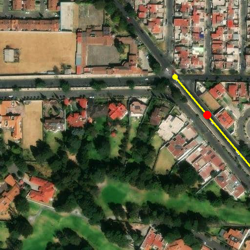
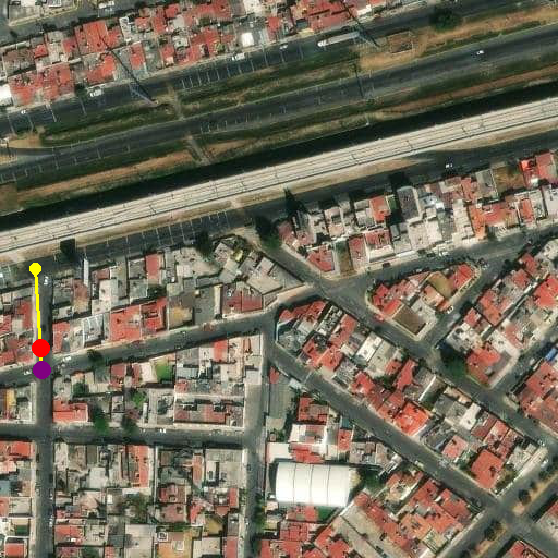
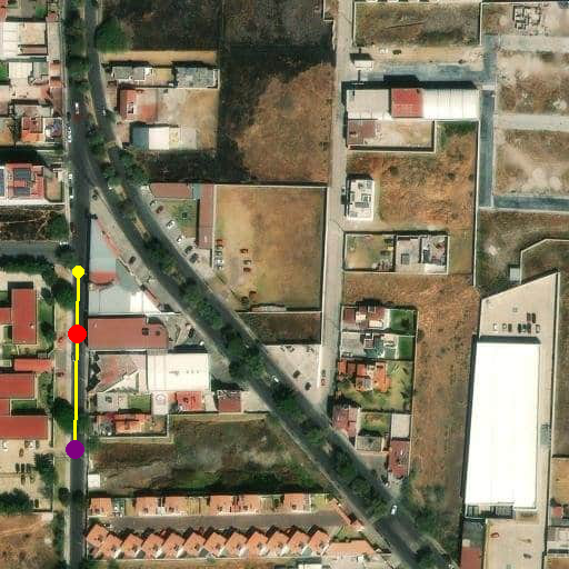
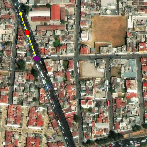
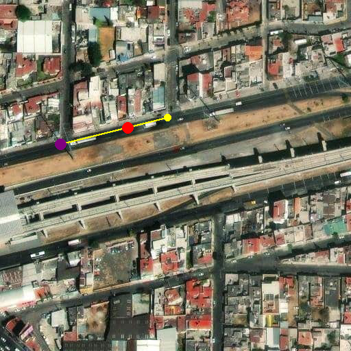
POI Validation: Applies a series of deterministic validation rules (e.g., distance from interpolated point, street name mismatches, side orientation issues) to automatically flag POIs with potential violations and assign explanatory scenarios.
Satellite Imagery Analysis: Utilizes a Machine Learning model to detect structures surrounding POI locations, verifying their presence and enhancing positional accuracy. Data Classification: Assigns POIs to predefined scenarios based on spatial accuracy and naming consistency.
Duplicate Detection: Automatically identifies and reports POIs with duplicate coordinates or names. Real-Time Feedback: Produces output files summarizing validation results, classified scenarios, and detected duplicates for downstream review and correction. Key technologies used:
Geospatial processing with Turf.js and GeoJSON Satellite imagery analysis with OpenCV Excel report generation HERE Maps API for tile fetching
🛠 Technologies Used
Core: Node.js (JavaScript) Python (for image analysis)
Geospatial: Turf.js GeoJSON Shapely (Python)
Image Processing: OpenCV scipy.spatial
Data Handling: Pandas (Python) XLSX (Excel export)
APIs: HERE Maps API
Built With
- javascript
- python
- rastertileapi

Log in or sign up for Devpost to join the conversation.