Inspiration
What it does
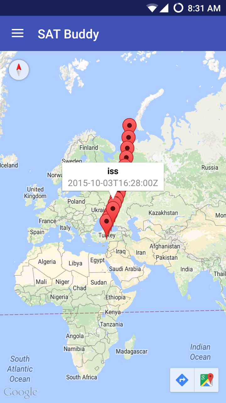
Shows markers with (longitude/latitude) & timestamp for where the satellites are predicted to be.
How I built it
Utilized the Urthecast REST API to receive satellite data.
Challenges I ran into
Had some API issues.
What I learned
Geospatial data is fun.

Log in or sign up for Devpost to join the conversation.