-
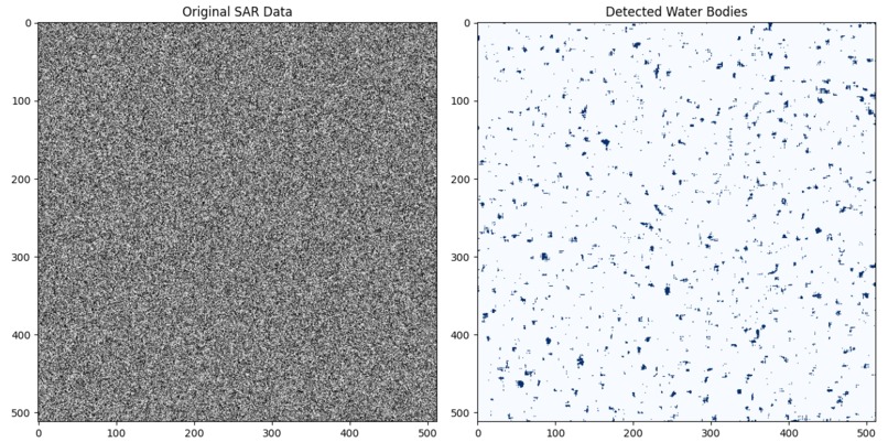
SAR_OUTPUT

Inspiration
Indian farmers face multiple challenges: fragmented landholdings, limited funds, unpredictable climate change, and pest infestations. Many struggle to access timely crop insurance, subsidies, and advisory support because crop records are not digitized or real-time. We were inspired by the idea that AI + satellite data could bridge this gap — providing farmers and policymakers with accurate, real-time crop maps that empower decision-making and resilience.
What it does
SARathi is an AI-powered crop identification system that combines Synthetic Aperture Radar (SAR) and multispectral satellite data with geospatial foundation models to map India’s smallholder farms.
- Provides real-time crop type classification at the field level.
- Enables faster access to insurance and subsidies for farmers.
- Supports climate adaptation by detecting drought- or flood-affected crops.
- Assists in pest outbreak management by helping authorities target advisories.
How we built it
Data preprocessing
- Collected Sentinel-1 SAR (COPERNICUS/S1_GRD), Sentinel-2 multispectral (COPERNICUS/S2_SR), and ResourceSAT-2/2A (via ISRO Bhuvan link ) datasets.
- Cleaned data with cloud masking, normalization, and temporal interpolation.
Model training
- Used geospatial foundation models as the backbone.
- Fine-tuned with the AgriFieldNet India dataset, enhanced by IBM Research.
- Applied multimodal fusion (SAR + optical + temporal features).
AI enhancements
- Generative AI created synthetic crop samples for underrepresented classes (e.g., pulses).
- Transformer-based sequence models captured seasonal growth cycles.
Deployment
- Built an automated pipeline with the IBM Agent Development Kit (ADK).
- Output: field-level crop maps with confidence scores, ready for use by farmers, governments, and agri-tech platforms. Related IBM work: link
Challenges we ran into
- Handling cloud cover in multispectral imagery — solved using SAR fusion.
- Balancing imbalanced datasets (some crops were underrepresented) — addressed with synthetic augmentation.
- Ensuring generalization across states with highly fragmented farmlands.
Accomplishments that we're proud of
- Designing an India-specific, farmer-focused AI solution rather than a generic crop classifier.
- Successfully integrating SAR + optical satellite data for robust classification.
- Building a framework that can extend beyond classification to yield prediction and climate resilience.
What we learned
How foundation models can be fine-tuned for domain-specific tasks like agriculture. The value of multimodal AI (SAR + optical + temporal) in solving real-world challenges. The importance of connecting AI solutions to social impact, not just technical performance.
What's next for SARathi
- Extend pipeline for yield prediction and crop rotation analysis.
- Collaborate with government and agri-tech companies to deploy at scale.
- Integrate with mobile advisory apps for farmers in regional languages.
