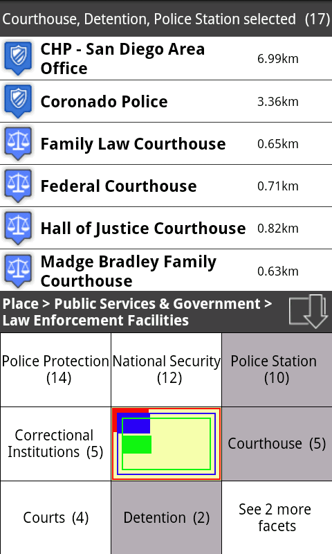
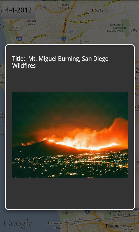
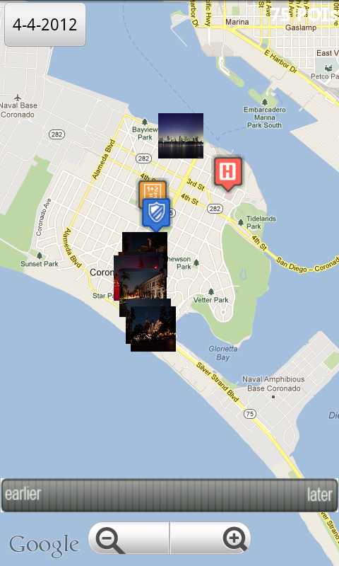
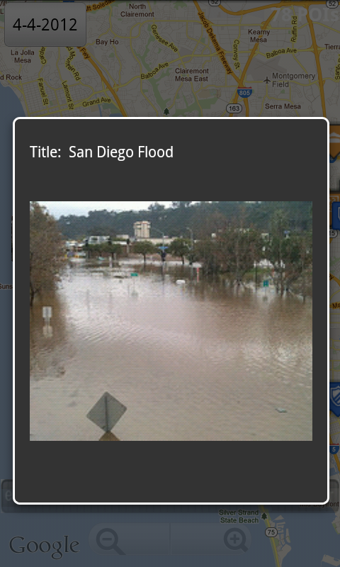
San Diego Facets allows emergency responders to quickly and efficiently explore social media data in the San Diego area. Information about different kinds of social media resources like persons, events, Flickr photos, and Twitter tweets, as well as professional data sets such as places in San Diego can be easily retrieved and presented on a map. For example, one can find official information about hospitals or schools, see where they are located, and navigate to these points. Social media information found around these places is visualized and allows for better accessing the situation. As a novel interaction methaphor, a timeslider is provided for spatio-temporally exploring these resources in order to see which events are happening or will happen in the future. As a future extension, it is possible to combine these information with actual traffic data to assist in guiding and reducing traffic. /apps/details?id=de.unikoblenz.west.sandiegofacets
Social media data repositories are integrated and can be queried to retrieve different places, persons, events, photos, and tweets (soon). These large hierarchical data spaces can be efficiently explored by San Diego Facets.
