-
-

Home screen
-
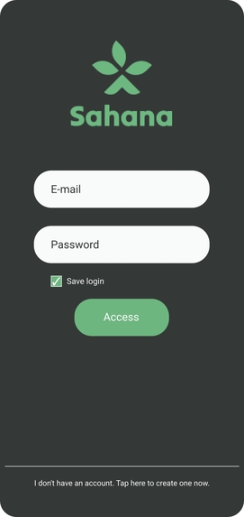
Login
-
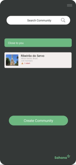
Community
-
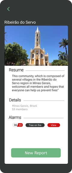
About Community
-
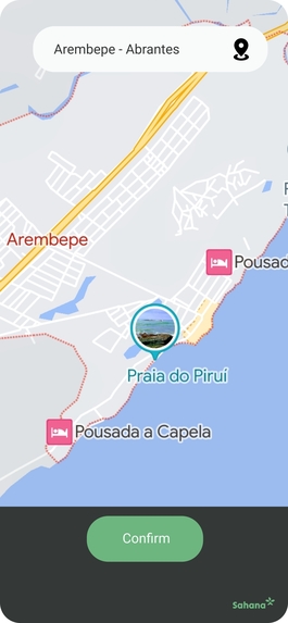
Location
-
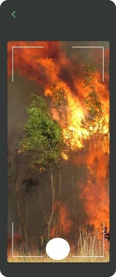
Report: Picture
-
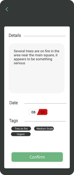
Report Details
-
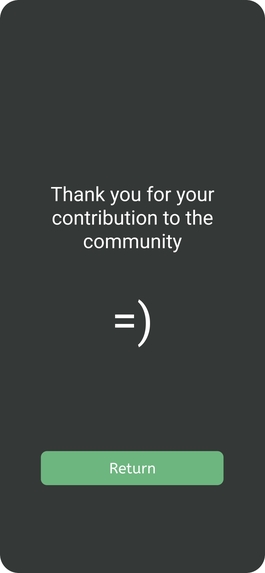
Report finished


HIGH-LEVEL SUMMARY:
In this project, we have developed an innovative system for tracking forest fires in rural areas. The key feature of this system, in addition to the active participation of farmers responsible for updating the database, is the integration of artificial intelligence to analyze images submitted by users and identify potential fire areas. This information undergoes meticulous validation in collaboration with the local community. This solution effectively addresses the critical challenge of monitoring and combating forest fires. By involving farmers and the local community in data collection and updates, our system creates a real-time information network regarding fire occurrences. This, in turn, empowers relevant authorities to respond quickly and cohesively, which is essential for minimizing damage to forests, rural properties, and ecosystems. Our system not only contributes to environmental preservation and the safety of rural areas but also enriches the databases of organizations responsible for monitoring environmental incidents. This results in a more comprehensive and accurate view of the environmental landscape, enabling informed decision-making and more effective preventive actions.
WHAT DOES THIS EXACTLY DO?
The visualization system tracks the occurrence of forest fires in rural areas, involving farmers in data updates and validating this information with the local community. This system creates a real-time information network about fire occurrences, empowering authorities to respond quickly to minimize damage to forests, rural properties, and ecosystems. Furthermore, it enriches the databases of organizations responsible for environmental monitoring, providing a more comprehensive and accurate view of the environmental landscape. In summary, the system assists in the prevention and response to forest fires in rural areas, promoting safety and environmental preservation.
HOW DOES IT WORK?
Our platform operates as a community dedicated to sharing best practices and also as an environment for reporting alerts in fire-prone areas. When creating a profile, users provide basic information such as name, email, and password, but the central element is the ability to share their location. After registering on the platform, users gain access to a reporting area where they can report locations with possible or evident fire zones. This allows for quick and effective action in combating fires in their early stages and contributes to the updating of the NASA database. The platform includes an interactive map displaying fire points analyzed with data provided by NASA, encompassing both fire points reported by our users and data from official sources. In addition to serving as an alert tool, the platform plays a vital role as a community that shares valuable information and best practices related to wildfire prevention. Sharing best practices and contributing to the database of reported fire locations are fundamental elements that strengthen the platform's effectiveness. Users have the opportunity to validate information, provide feedback, and actively collaborate to keep the database accurate and up to date. In summary, our platform is not only a fire detection tool but also a space where the community comes together to protect our precious natural resources. Together, we are building a safer and more sustainable future.
WHAT ARE THE BENEFITS OF THIS?
Our solution offers proactive detection of fire-prone areas, enabling a swift and effective response from communities and safety organizations. This results in significant damage minimization, safeguarding both small and extensive areas at risk of fire and ensuring the preservation of precious ecosystems and, above all, human lives. Active community involvement is a key element as it continually updates organizations' databases, facilitating the planning and implementation of effective prevention measures. Furthermore, our platform promotes the sharing of experiences and best practices among the rural community, including farmers and agriculturalists, fostering a knowledge mobilization that enhances fire management. In summary, our solution is a powerful tool for fire prevention, protecting the environment, property, and most importantly, people's safety. It not only identifies fire risks but also strengthens collaboration and knowledge-sharing within the community, making it more resilient and prepared.
WHAT DO YOU HOPE TO ACHIEVE?
With the implementation of this solution, our expectation is to significantly reduce the damage caused to forest environments and rural plantations. This is crucial for preserving the quality of life of rural communities and plays a critical role in conserving the fauna and flora of the regions. Our priority is to ensure that both agricultural activities and local biodiversity continue to thrive in harmony, promoting a sustainable environment for all involved.
FUTURE IMPLEMENTATION
As part of our future implementation plans, we are exploring the possibility of adapting our platform for urban environments with the aim of identifying fires in areas where wildlife and flora are not present. This expansion underscores our ongoing commitment to enhancing the utility of our solution, extending its benefits beyond rural areas. In addition to preserving nature, we are dedicated to enhancing safety and quality of life in urban areas, ensuring an efficient response in emergency situations.

Log in or sign up for Devpost to join the conversation.