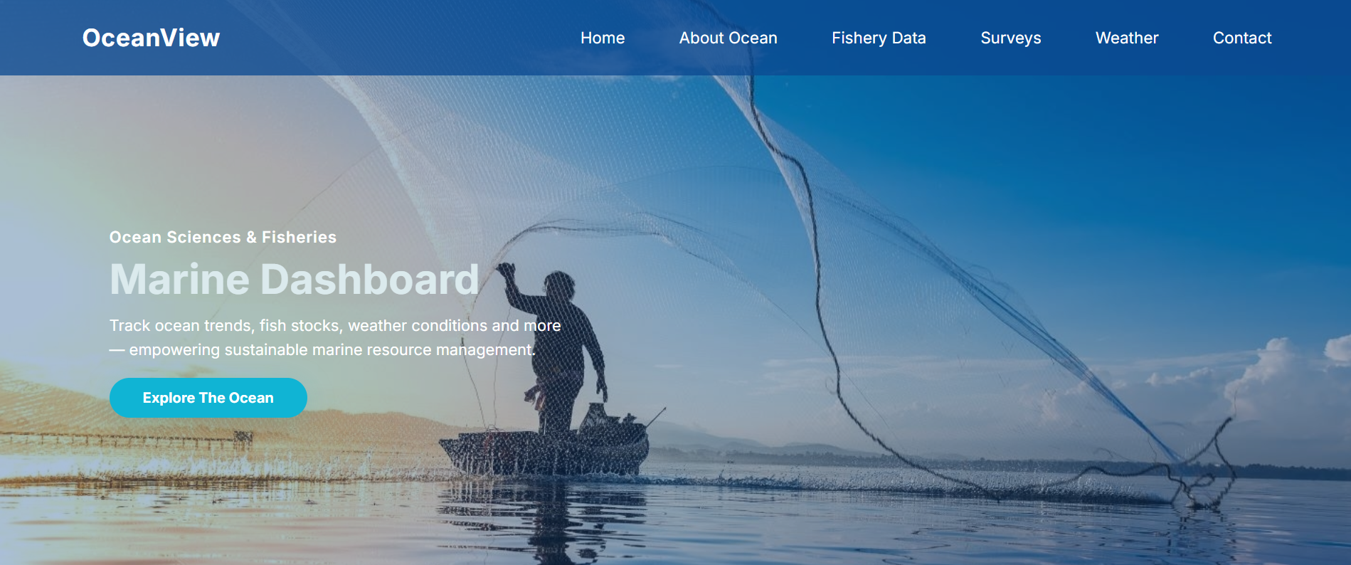
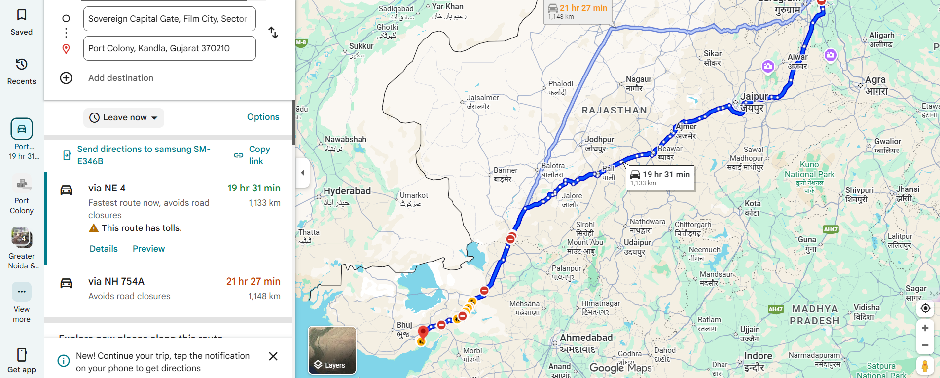
Inspiration: Fishermen face unpredictable weather, declining fish populations, and emergencies without reliable information or digital assistance. Existing marine data platforms are often in English, making them inaccessible to regional fishing communities. We wanted to create a solution that provides life-saving awareness, ensures sustainable fishing, and bridges the information gap through multilingual, easy-to-use technology.
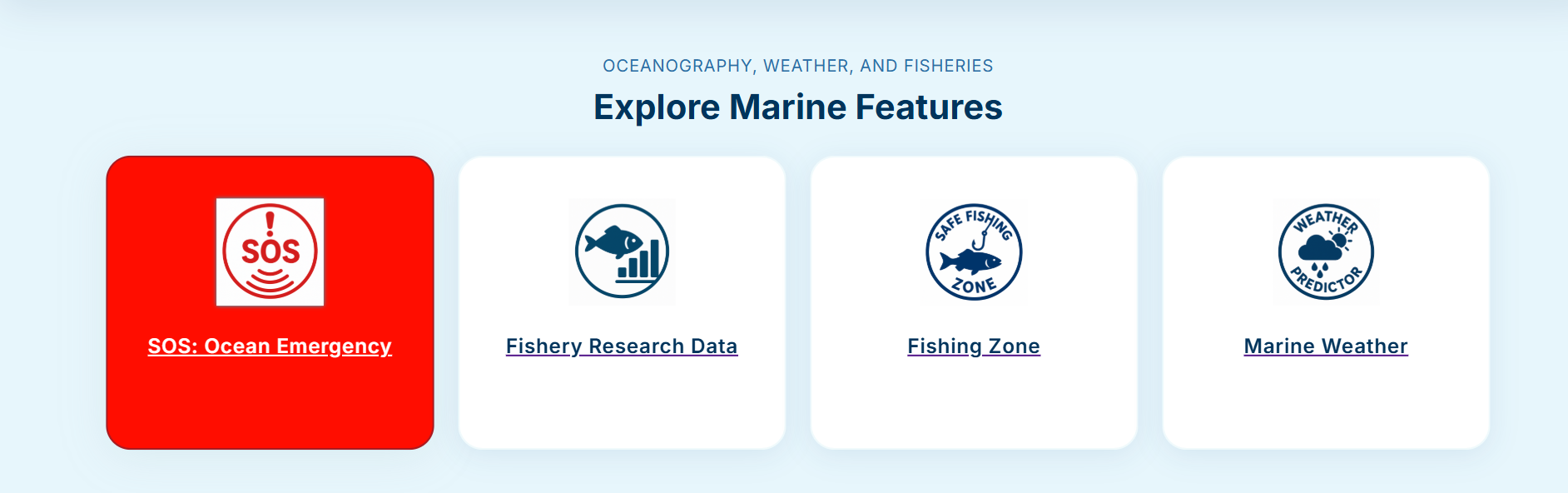
What It Does: SagarSathi is a unified marine awareness platform designed for both fishermen and researchers. For Fishermen:
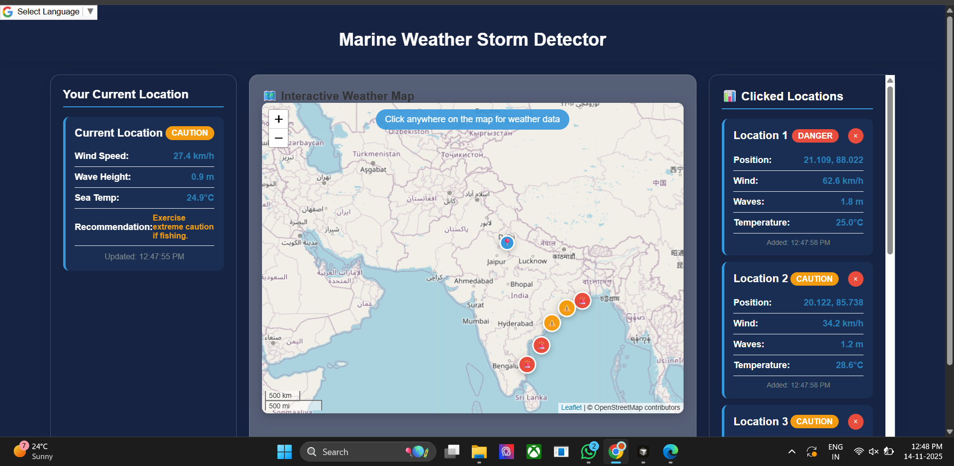
- Real-time weather alerts and sea condition warnings
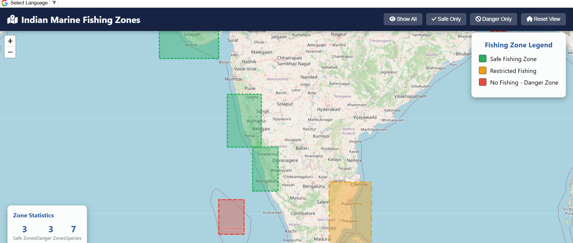
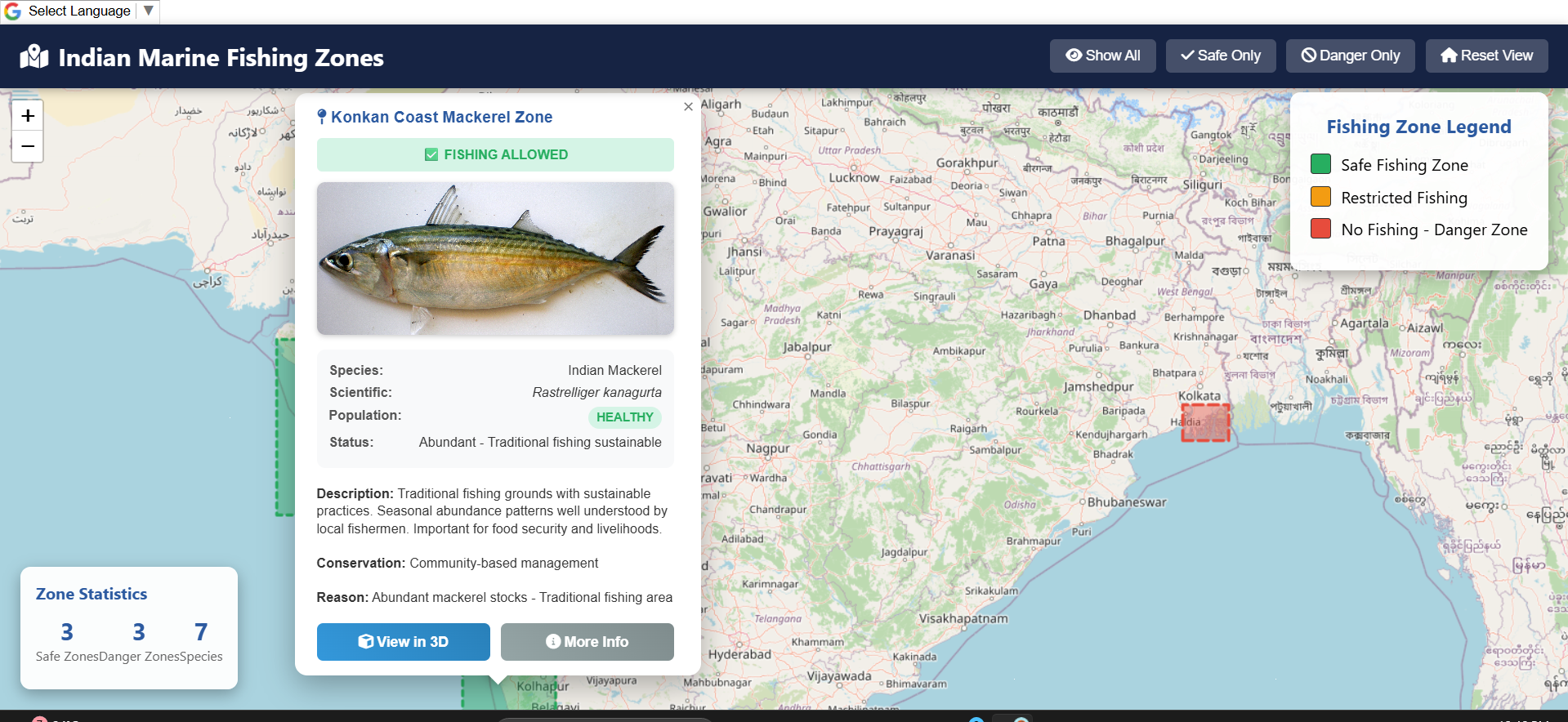
- Color-coded fishing zones (green, yellow, red) to prevent overfishing
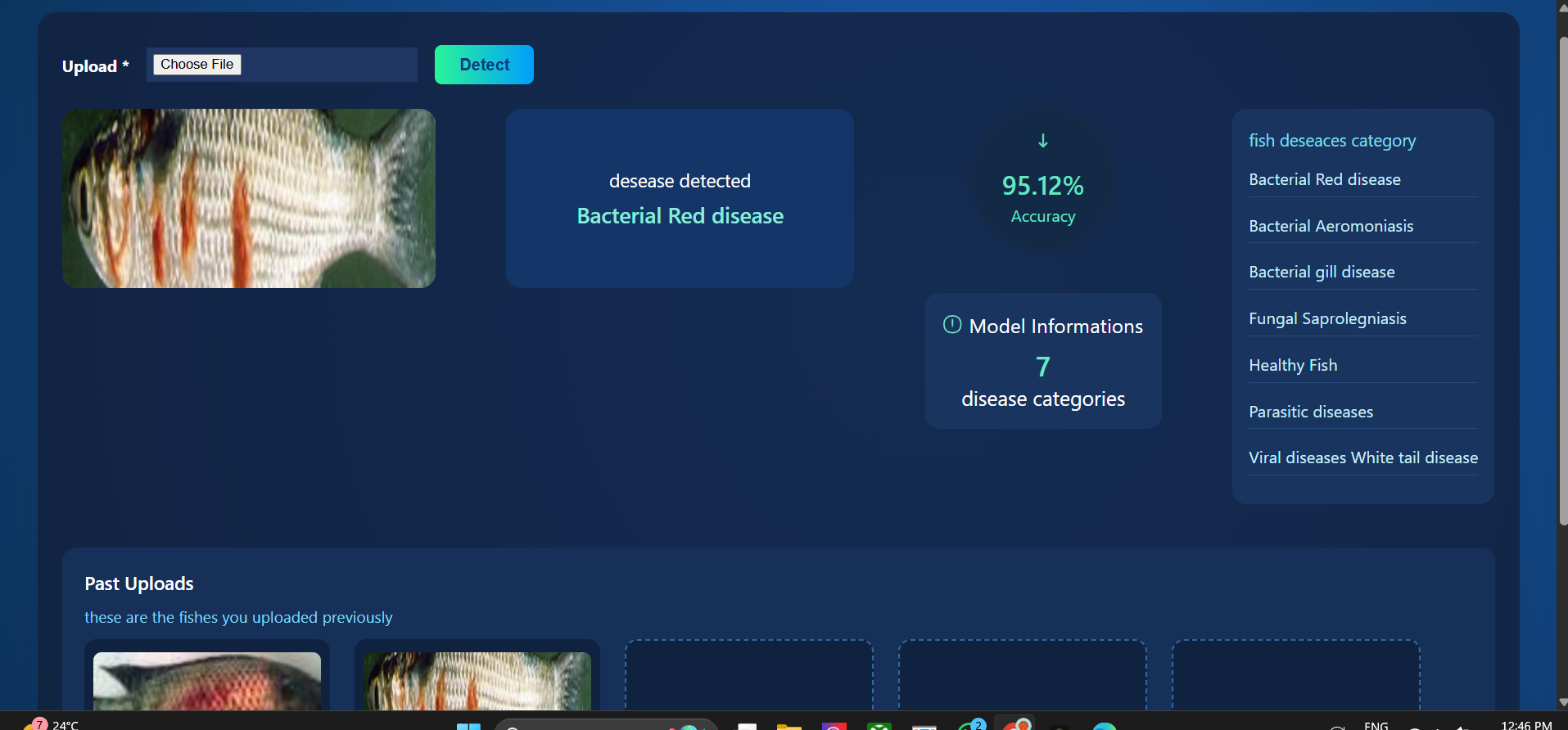
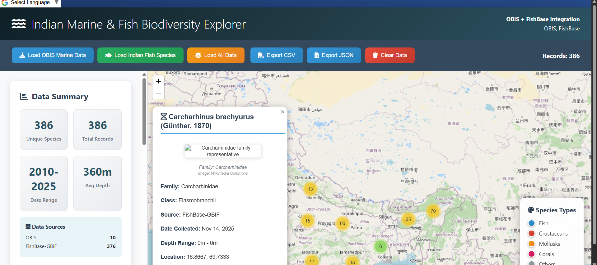
- Fish population insights using integrated marine datasets
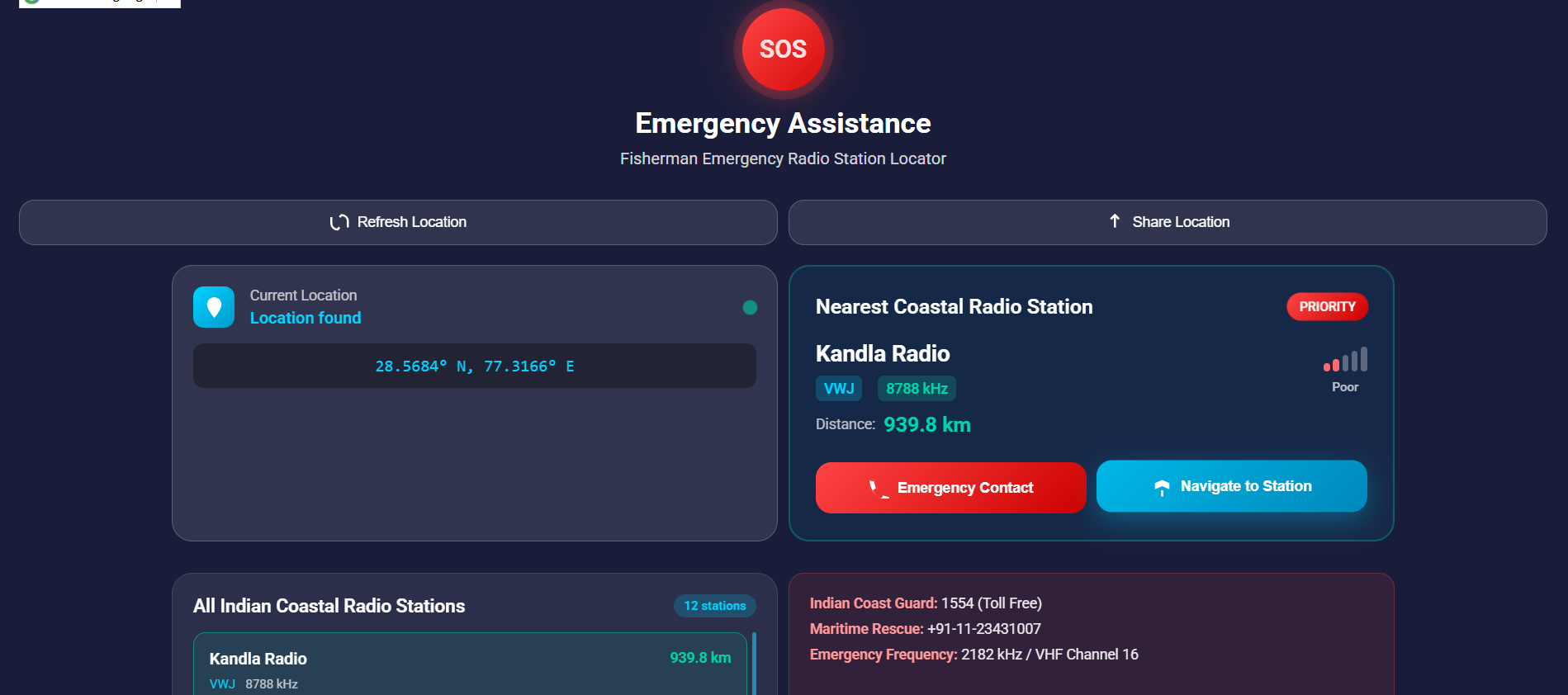
- Instant SOS with live location and nearest radio station
- Multilingual interface for regional accessibility For Researchers:
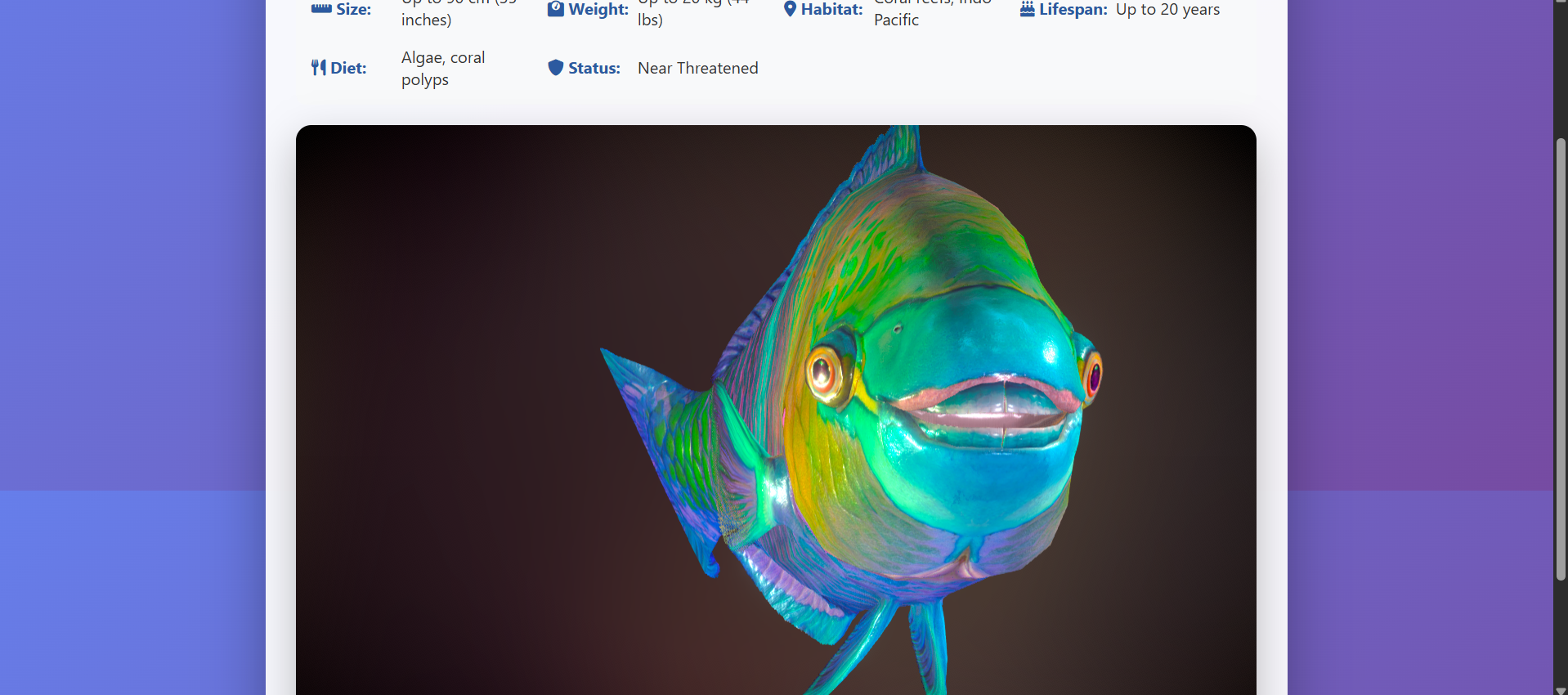
- 3D marine species visualization
- Combined marine datasets for studying biodiversity, fish movement, and ecosystem changes
How We Built It We combined multiple technologies to create a real-time, accessible platform: Backend using Python and Node.js for processing marine datasets and APIs Frontend using React with Mapbox for live fishing zone maps Three.js for interactive 3D species models Integrated data from OBIS Marine, FishBase-GBIF, and meteorological APIs Firebase for authentication and real-time data storage Multilingual support implemented using i18n
Challenges We Ran Into: Integrating multiple datasets with varying formats and structures Building accurate, real-time fishing zone overlays on maps Maintaining scientific accuracy while keeping the interface simple Optimizing 3D visualizations for low-end mobile devices Ensuring multilingual clarity for users with limited digital literacy
Accomplishments That We're Proud Of: Successfully unifying weather insights, marine data, SOS communication, and sustainability tools in one platform Creating a multilingual tool truly accessible to fishermen in regional communities Implementing an SOS system with location tracking and nearest radio station mapping Developing interactive 3D species visualization for researchers and students Designing a solution that supports both human safety and environmental conservation
What We Learned: The importance of human-centered design when building for communities with limited digital resources How to merge scientific marine datasets into an intuitive platform The impact that awareness and timely information can have on safety and sustainability How technology can simultaneously empower people and protect natural ecosystems
What's Next for SagarSathi: Offline accessibility for remote coastal regions AI-based fish population prediction and smart fishing recommendations Voice-based interaction for hands-free use on boats Community reporting features for hazards and local fish sightings Larger 3D species database with habitat and conservation details Partnerships with coastal authorities and marine research centers for verified alerts and expanded datasets

Log in or sign up for Devpost to join the conversation.